Now we are on the last stretch of Oregon Coast, starting a mad dash towards California border. As promised, our next stop after Baker Beach is Cape Blanco, 100 miles away. I don’t think, we have ever driven that long without a stop so far on our trip, but like I said, after Heceta Head, it’s mostly beaches, and a beach is a beach is a beach. So, not much to stop for.
NIKONCOOLPIX S9300 22mm
/ 5.7
/ 10/1000s
/ ISO 125
Created: 125
Uploaded: 125
Likes: 125
Views: 125
Comments: 125
-1
-1
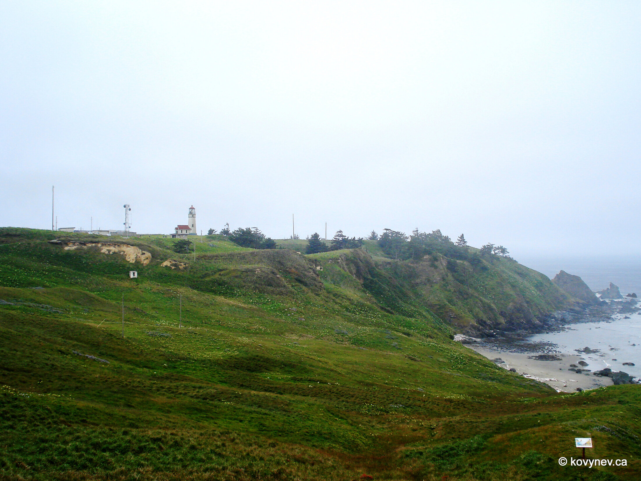
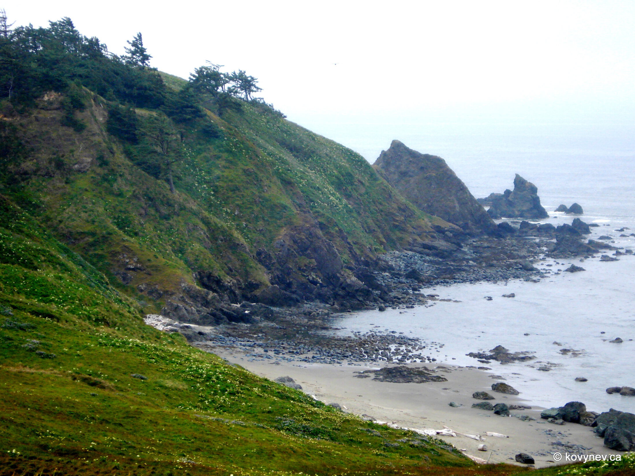
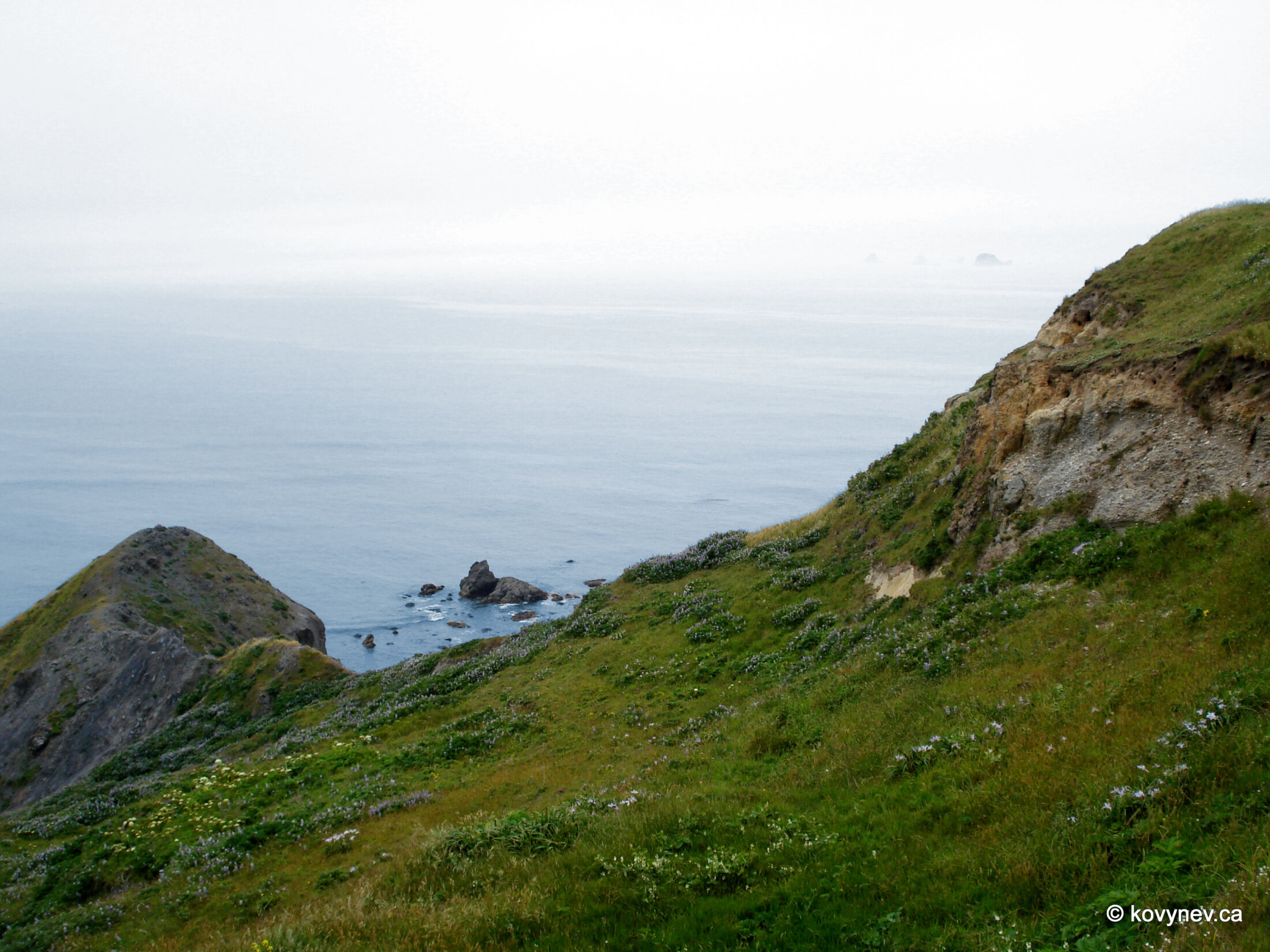
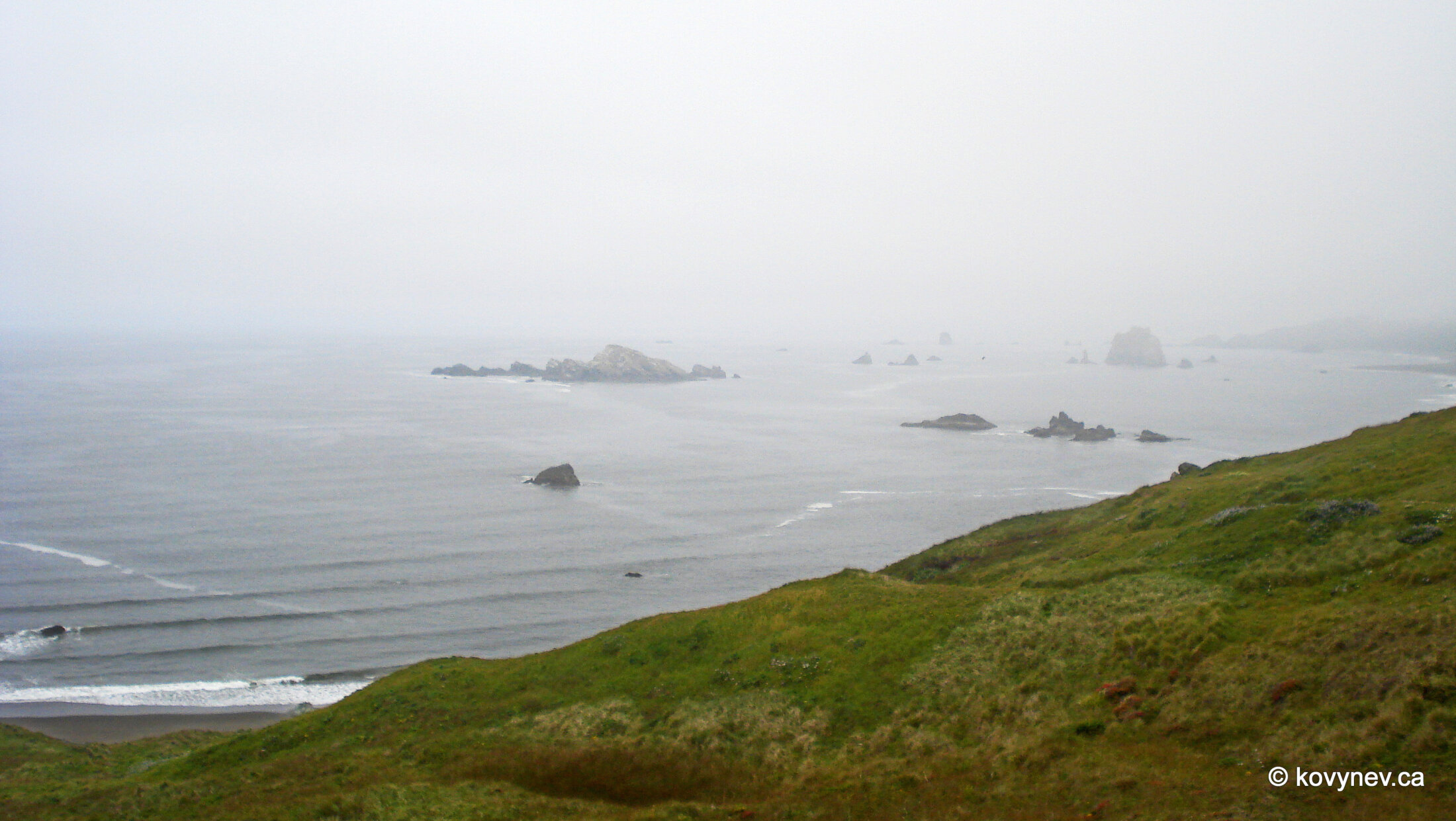
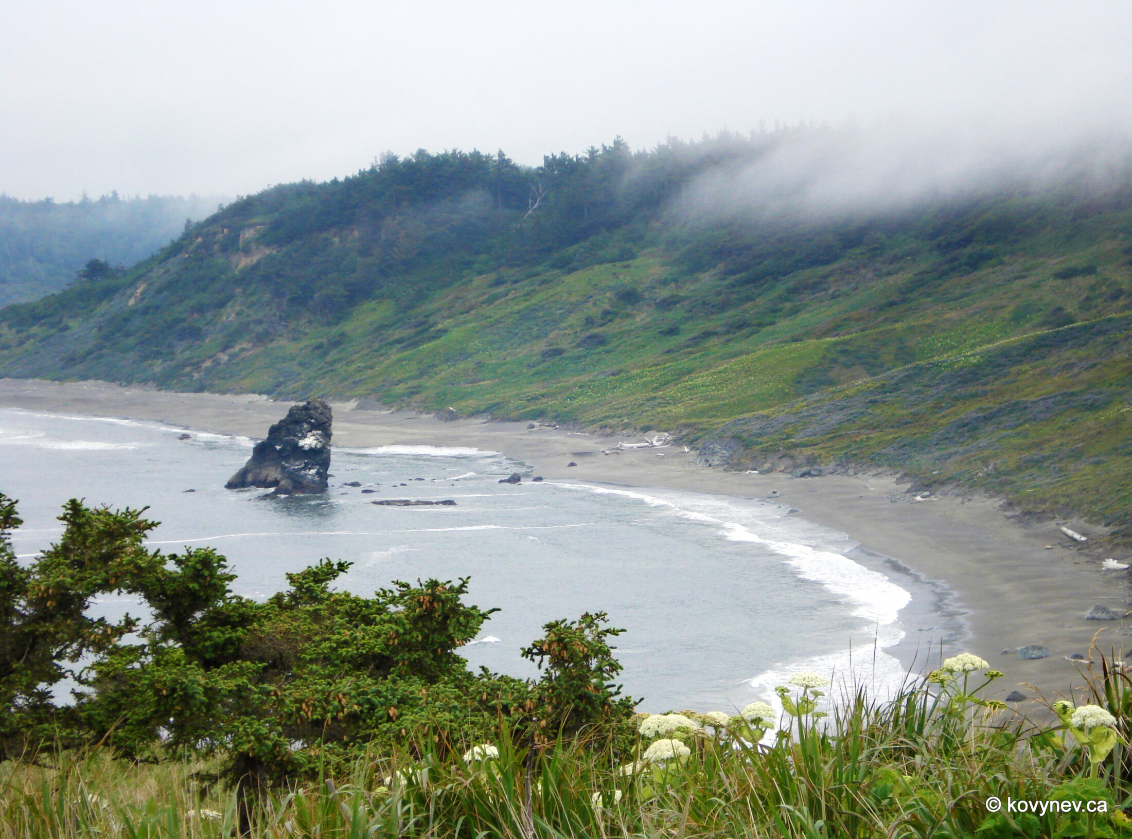
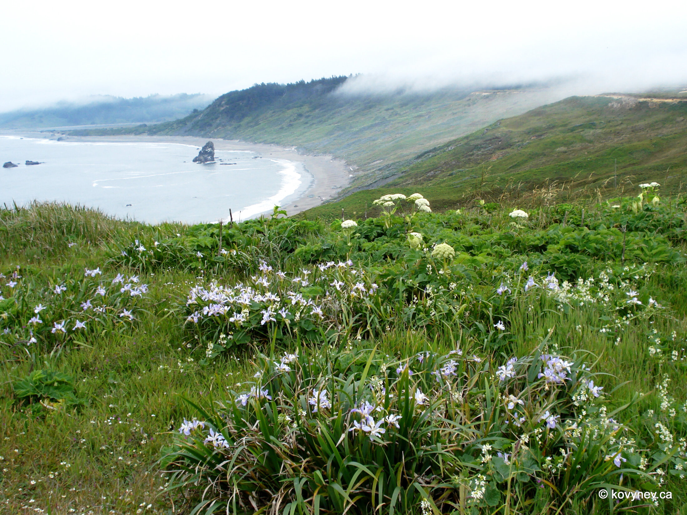
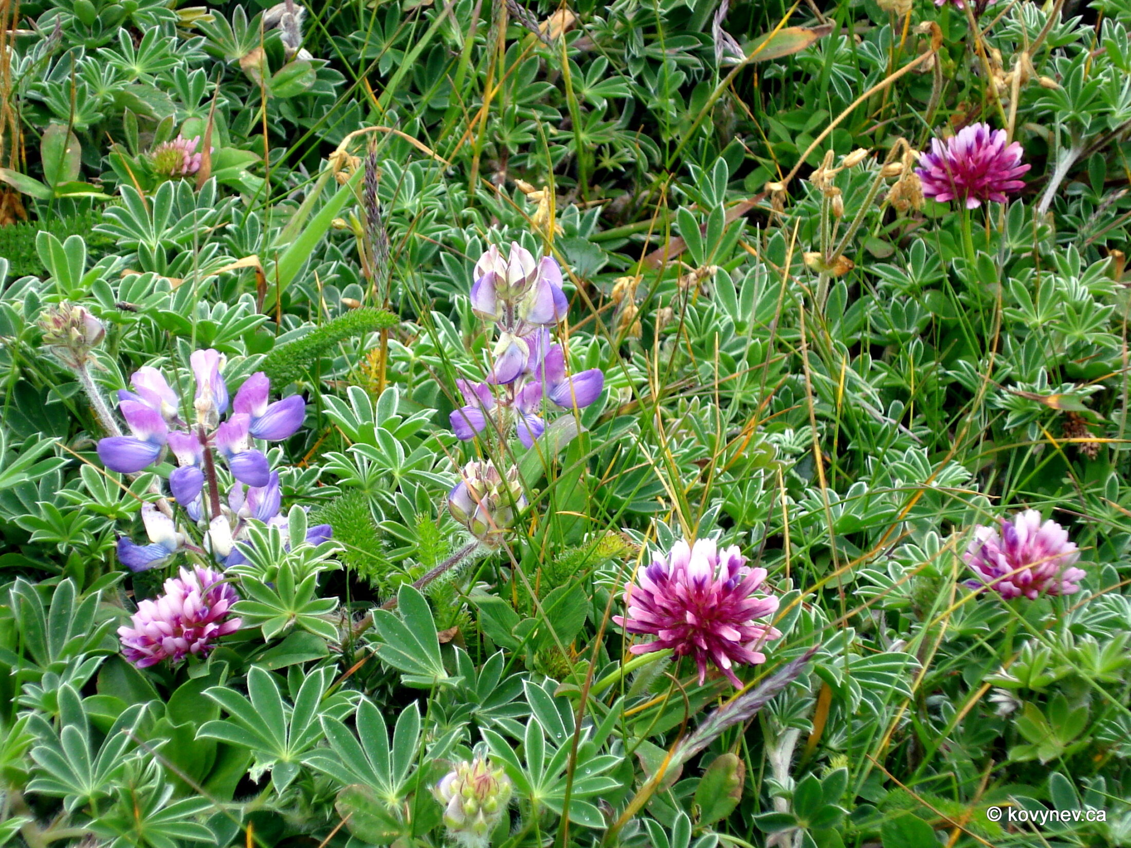
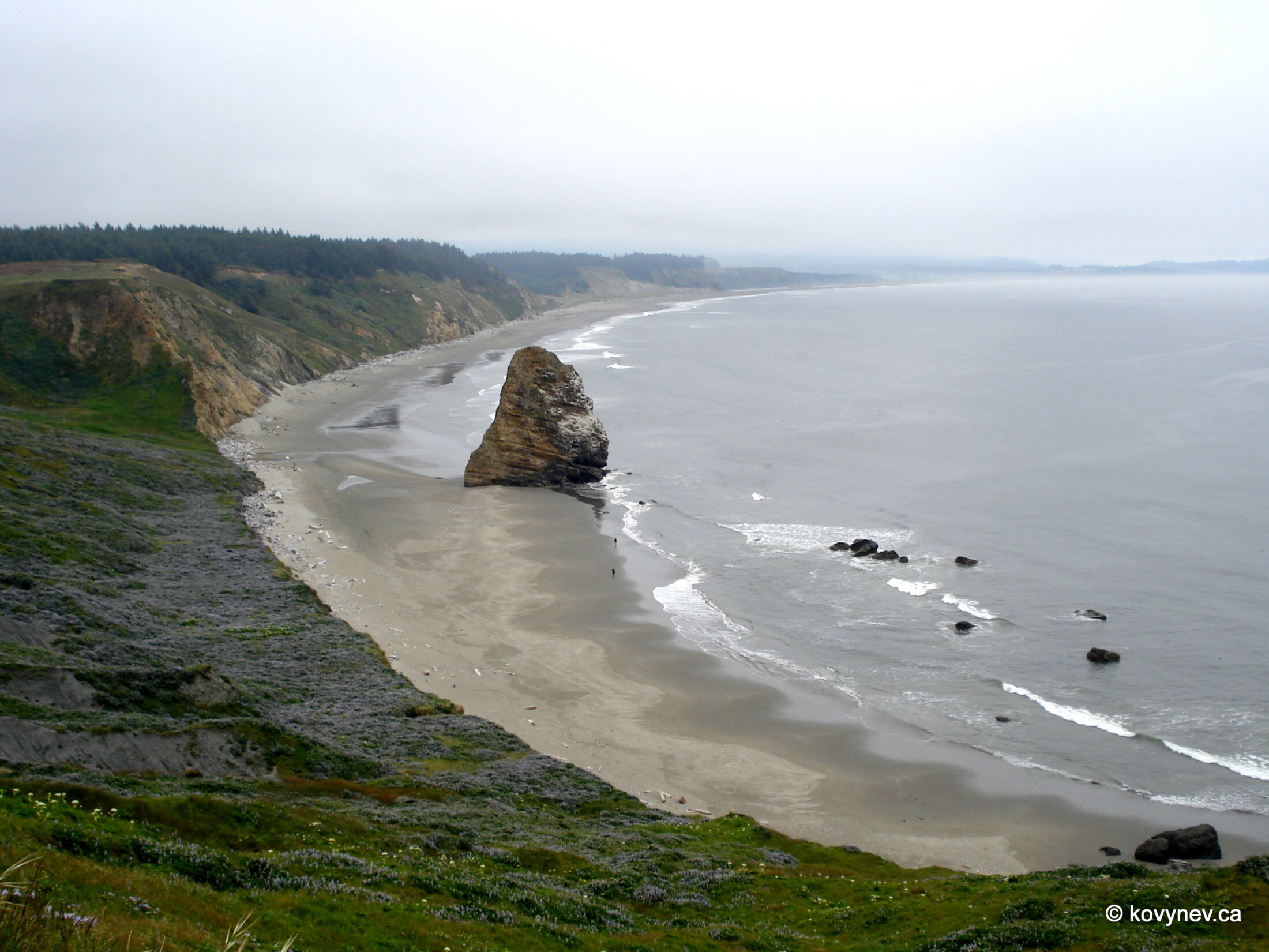
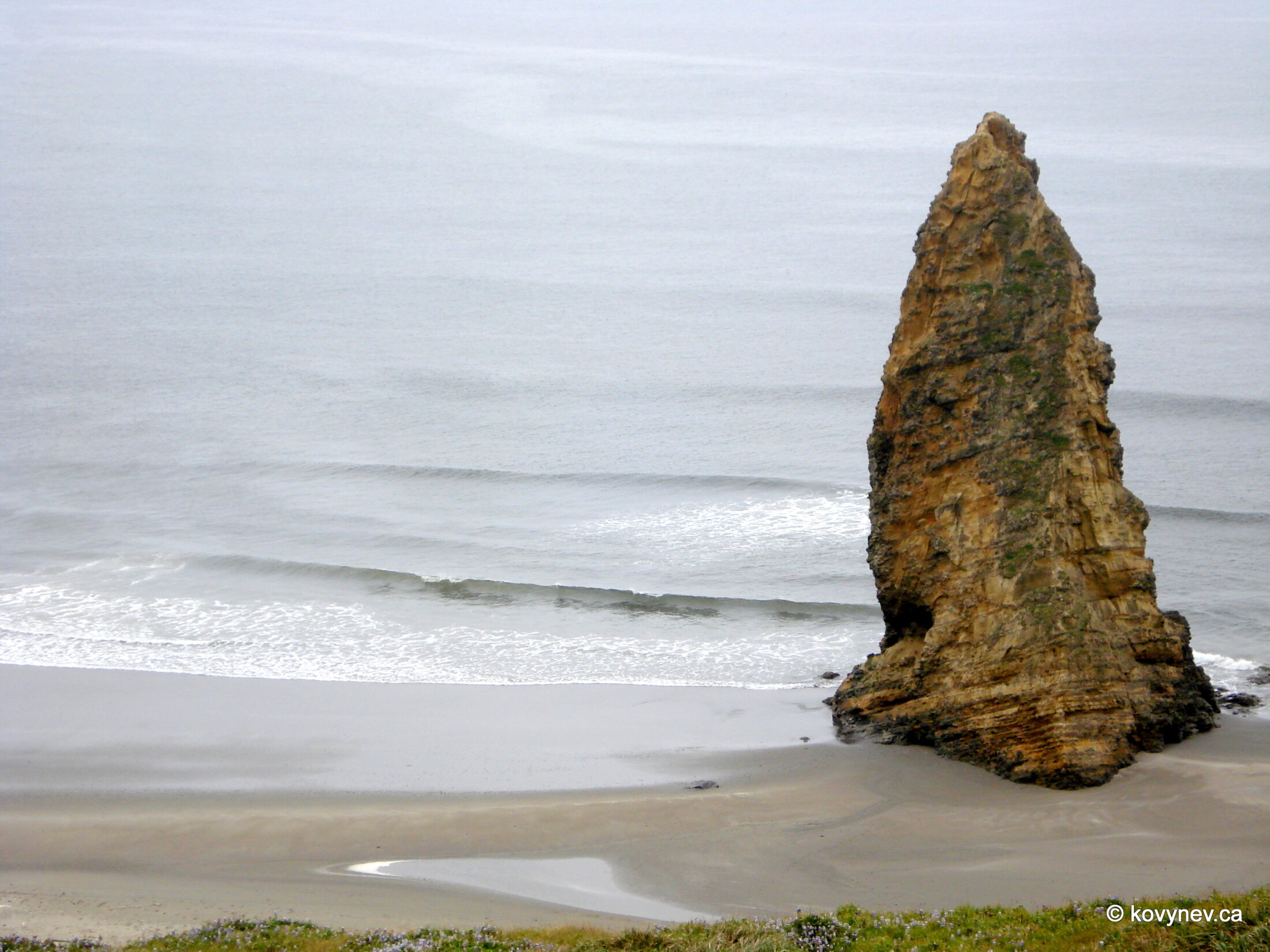
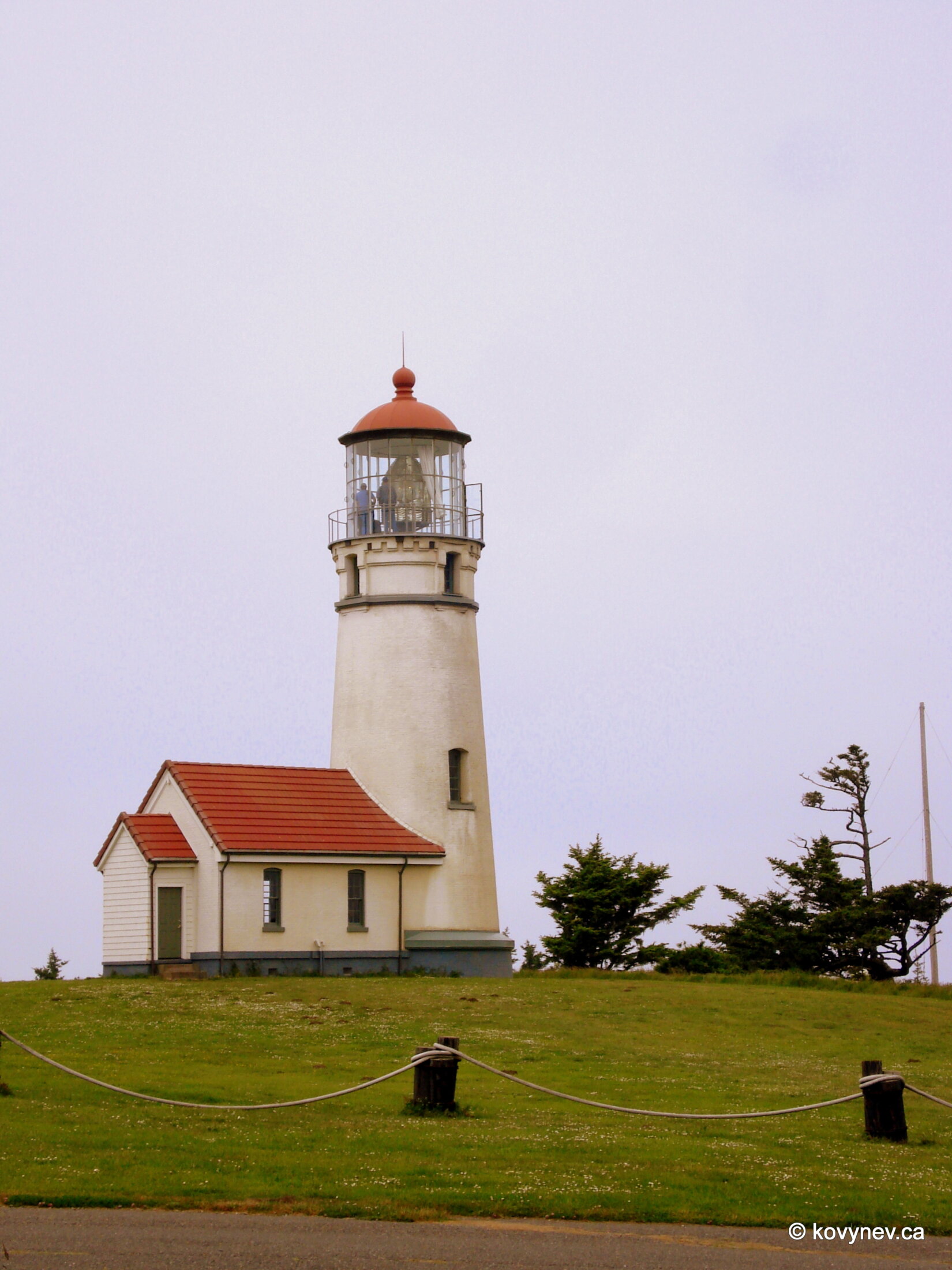
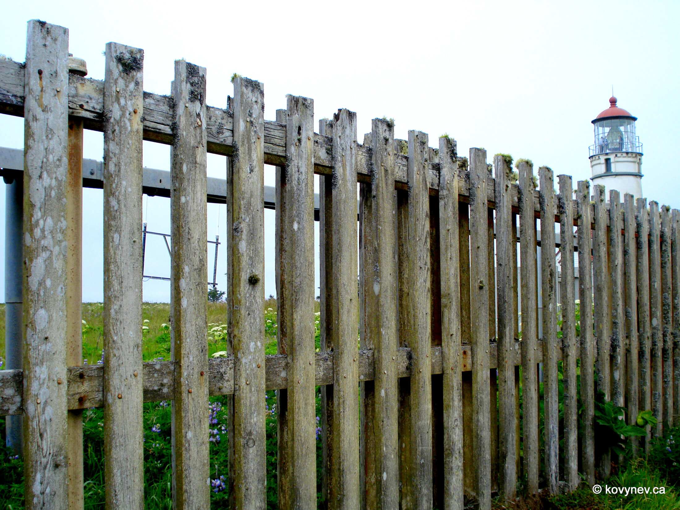
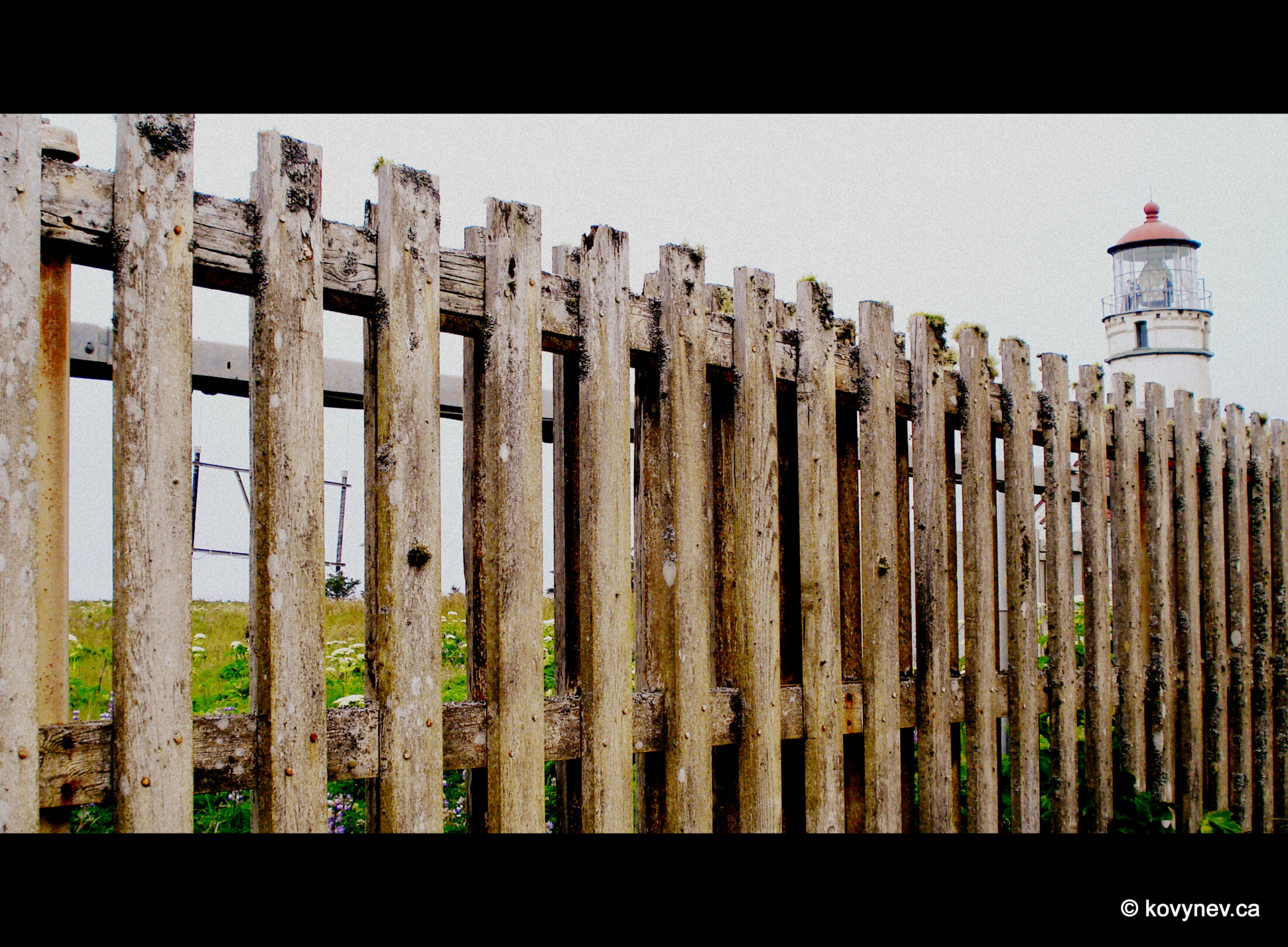
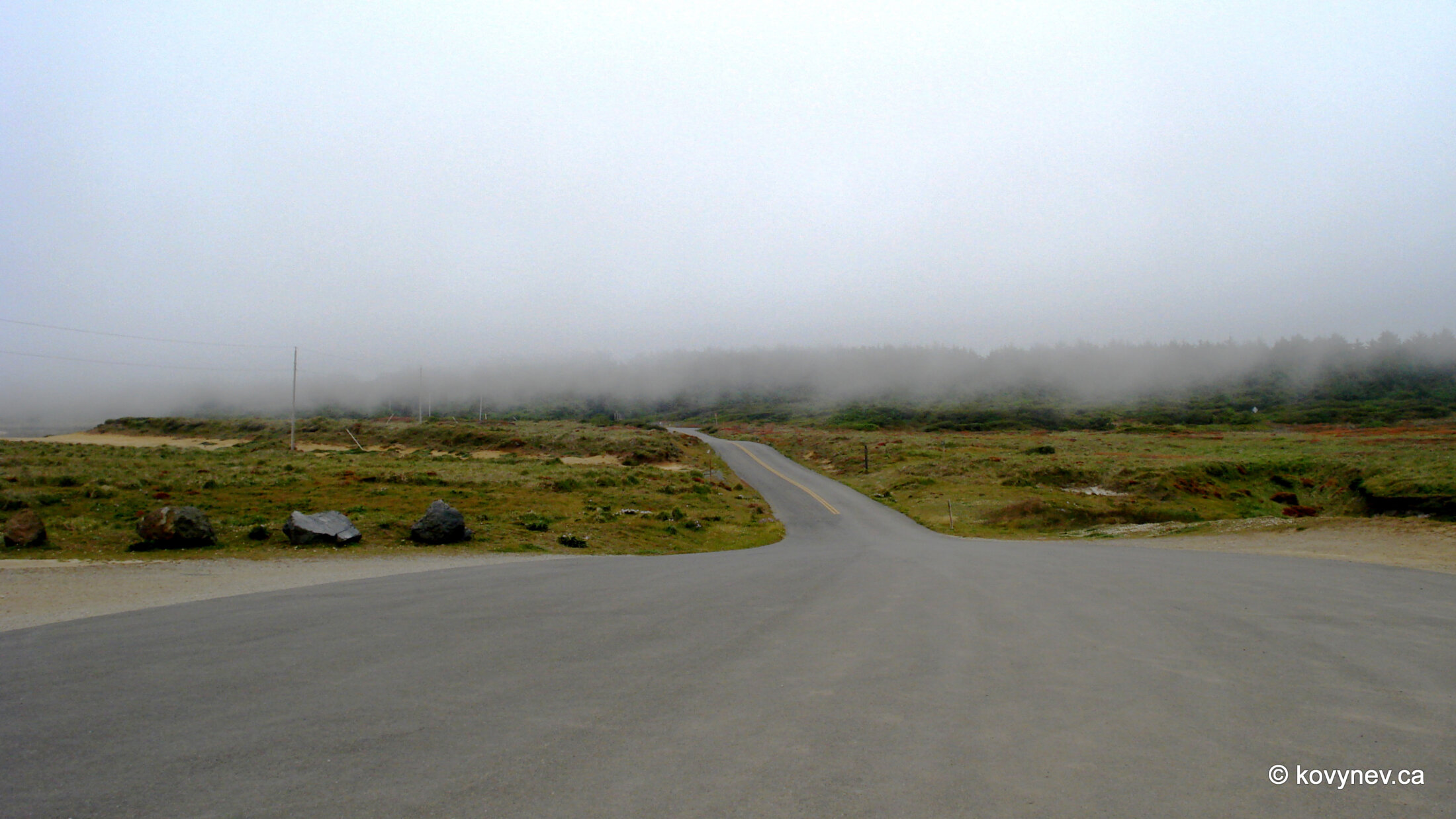
This is Cape Blanco, the most westernmost point of contiguous United States south of Washington (that is, in Oregon and California). (Contiguous United States is 48 states of the mainland USA, which excludes Alaska and Hawaii). THE westernmost points of contiguous United States would be two capes on Olympic Peninsula in Washington, but Cape Blanco is very close behind. "Blanco" means "white" in Spanish, and this name was given to the cape, presumably, by Martín de Aguilar, a Spanish explorer, in 1603. Then, in 1792, Captain George Vancouver, who explored Pacific Northwest for the English, named the cape after his dear friend George, Earl of Orford. (Isn′t it nice to be a friend of a famous explorer, and have places get named after you?)However, to Earl of Orford′s chagrin, "Cape Orford" did not last, eventually people moved to much more sonorous Cape Blanco. But the name is still in use for the nearby city of Port Orford.Ok, enough with the historical background, let′s just enjoy the scenery. Like this vista on the north side of the cape. The misty headland to the right on the horizon is Blacklock Point. Right in front of it is Castle Rock, also covered in fog, and Gull Rock closer to us, right in the centre of the picture. Here′s a video panning to the right from the point where we are standing right now.If we climb on that little hillock in front of us, we get better view of Blacklock Point and Castle Rock. Gull Rock is out of the frame. Nobody bothered to give names to other rocks, scattered around in this picture.Like this one, looking like a whale trying to jump out of the water.An alpine meadow on the north side of the cape.Now we are looking south. The solitary rock on the beach is called Needle Rock.I don′t know who saw a needle here. I am seeing a sitting animal. Maybe a dog, looking out onto the sea, waiting for its fisherman master.Tell me, I am wrong.Again, panning to-and-fro from this point.A closer look at the surf on the beach, and the "sitting dog" rock. I refuse to call it a needle.But the main attraction of Cape Blanco is the lighthouse. All those rocks we saw scattered in the ocean, and many more below the surface, are a real menace for mariners. So, in 1870, a lighthouse was built. Which makes it the oldest standing lighthouse on the Oregon coast.Being the oldest is not the only record the lighthouse holds. It is the most westernmost lighthouse in Oregon (not surprising, since Cape Blanco is the most western point of the state); its light is positioned at the highest level above the sea (it′s called "a focal plane") - 250 feet; ... ⇨ ... ⇨ one of its keepers, James Langlois, was the longest serving lighthouse keeper on the whole of US West Coast (46 years); and another of its keepers (Mabel E. Bretherton) was Oregon’s first woman keeper. A long and winding road from the lighthouse to the parking lot. And it′s not even a joke. It′s more than 500 m to the parking lot. And then there is a 15-min drive back to the highway. Cape Blanco truly juts out into the sea. Press ESC to exit