Finally, the much-promised Heceta Head. Heceta was the name of a Spanish explorer, Bruno de Heceta y Dudagoitia, who visited these parts in 1775. He reached as far as Alaska, “claiming” that territory for the Spanish crown, not being aware of the fact that the Russians had already been there 34 years earlier. He is not actually connected to Heceta Head itself, it was just named after him to commemorate his role in the exploration of Pacific Northwest. But he was the first European to spot the estuary of Columbia River, which we saw earlier in the gallery about Astoria.
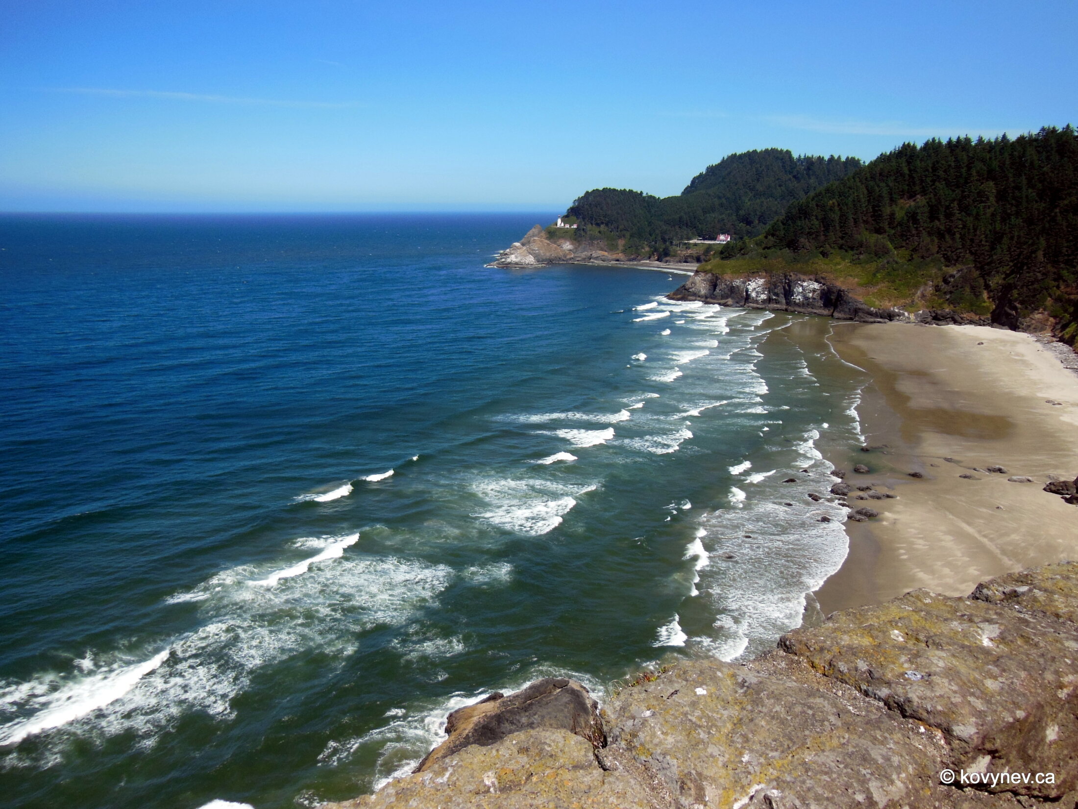
Heceta Head is one of the well-known spots on Oregon Coast, and definitely, one of the most photographed. All thanks to Heceta Head Lighthouse and its stunning settings. Another interesting thing about Heceta Head is that it marks the end of the rugged and varied coastline. From now on, it’s more beaches than coves, and more sands than rocks.
NIKONCOOLPIX S9300 22mm
/ 5.7
/ 10/1000s
/ ISO 125
Created: 125
Uploaded: 125
Likes: 125
Views: 125
Comments: 125
-1
-1
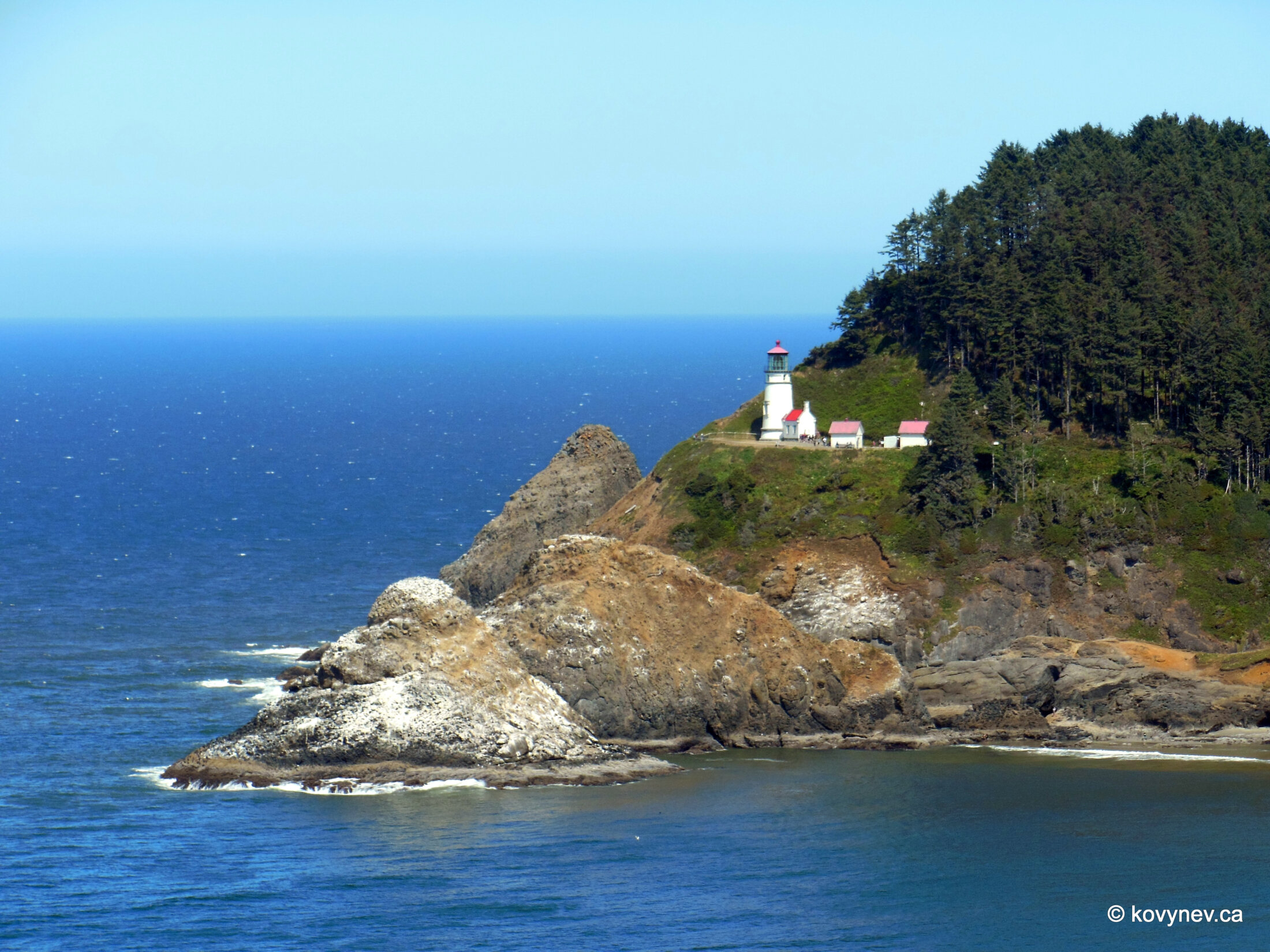
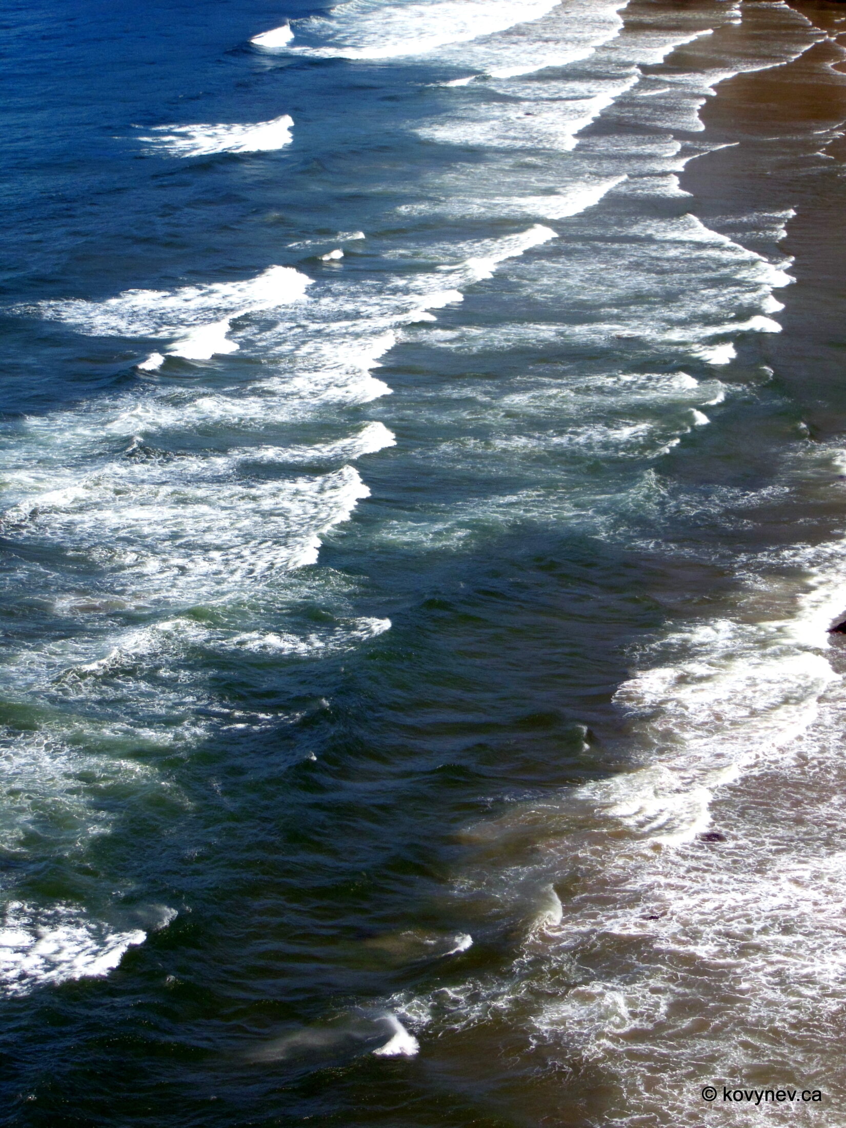
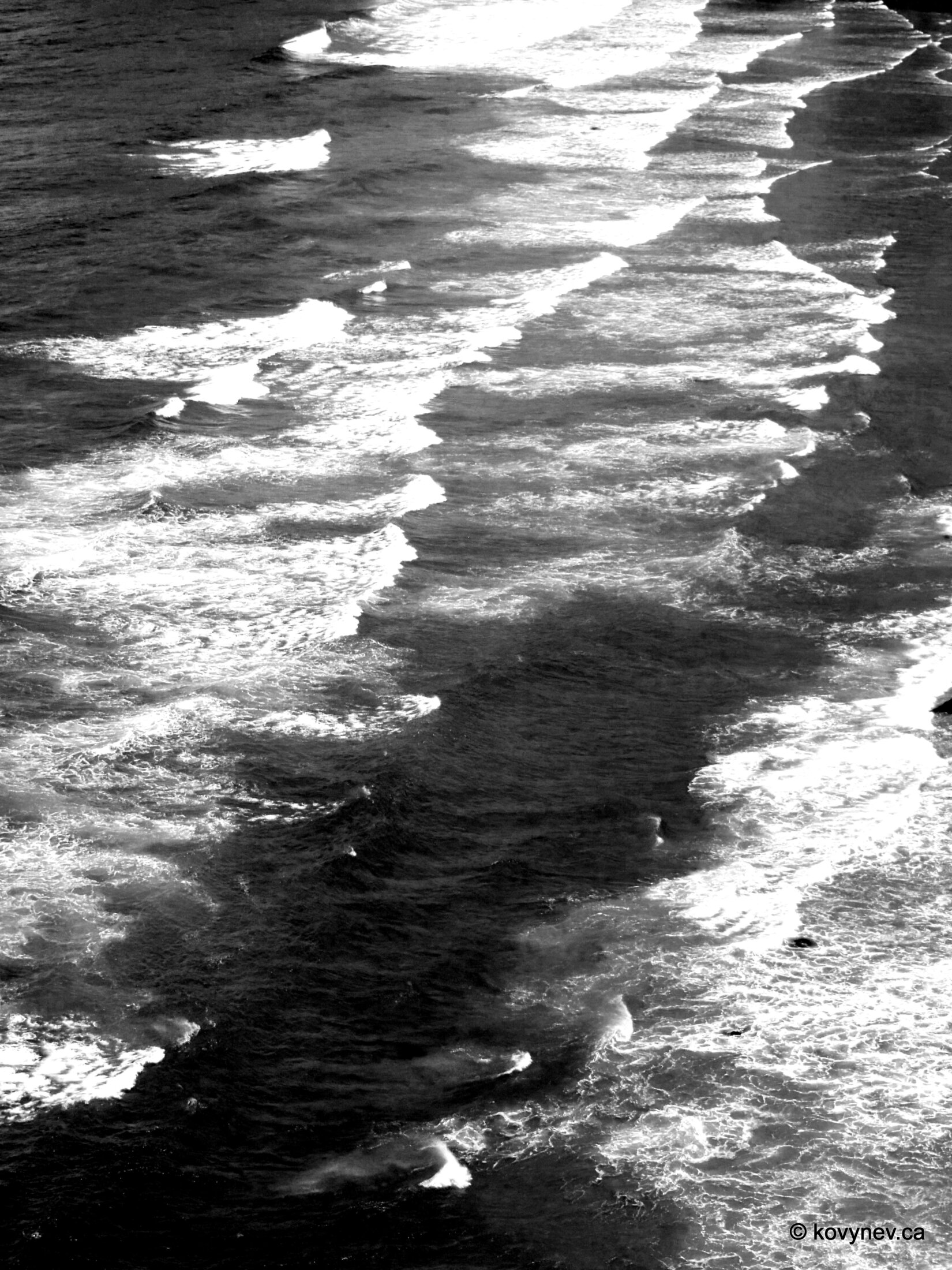
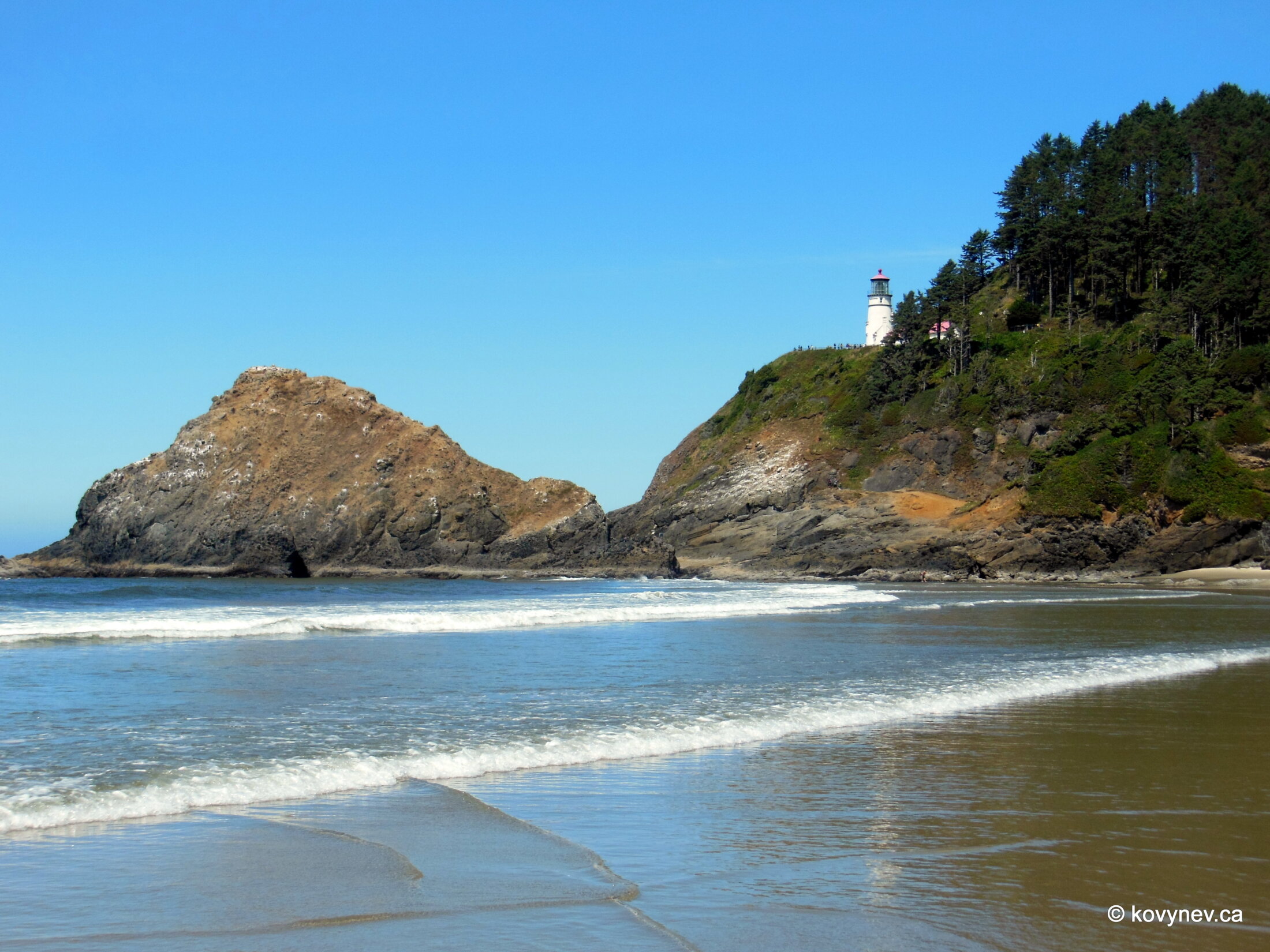
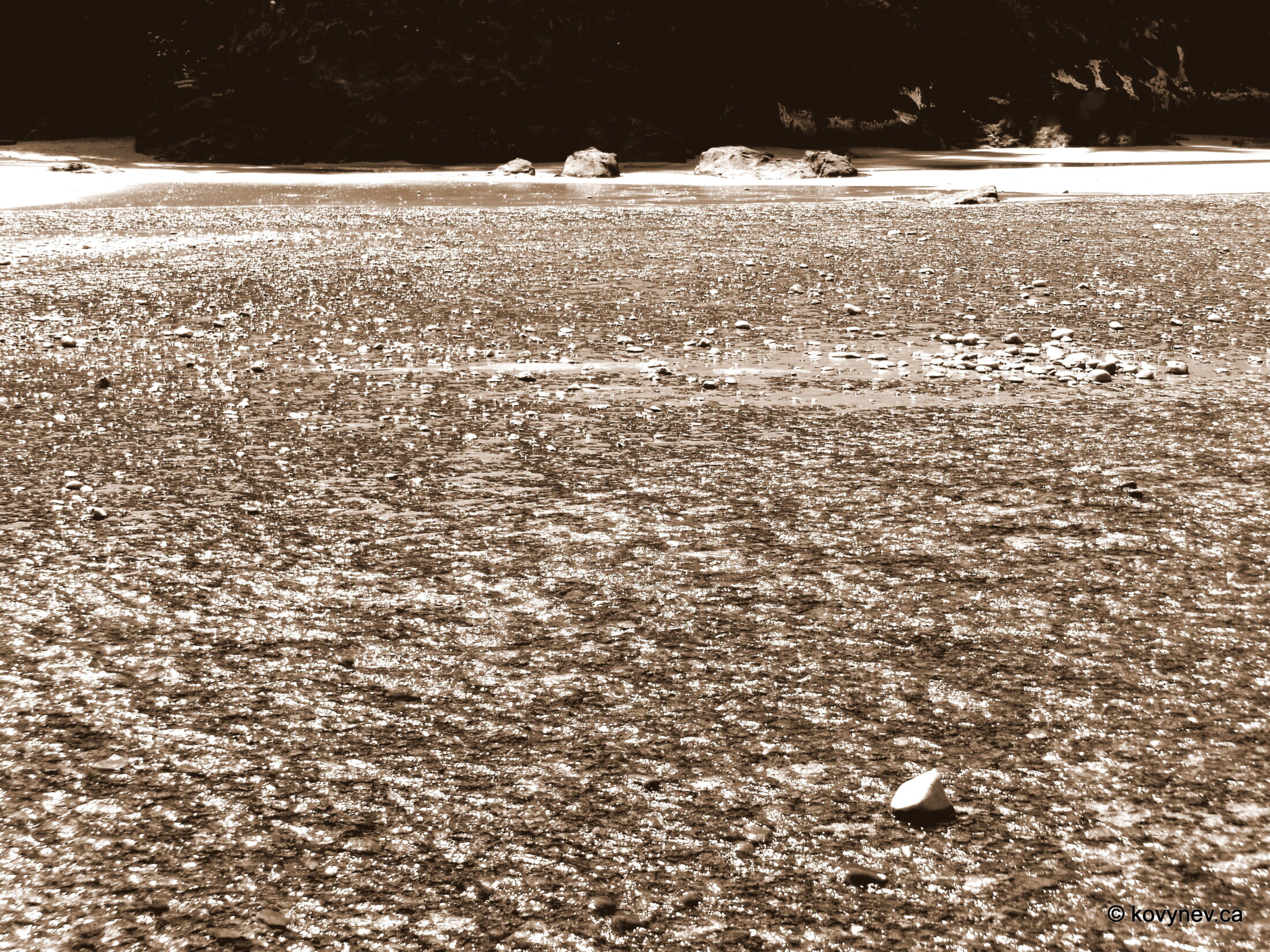
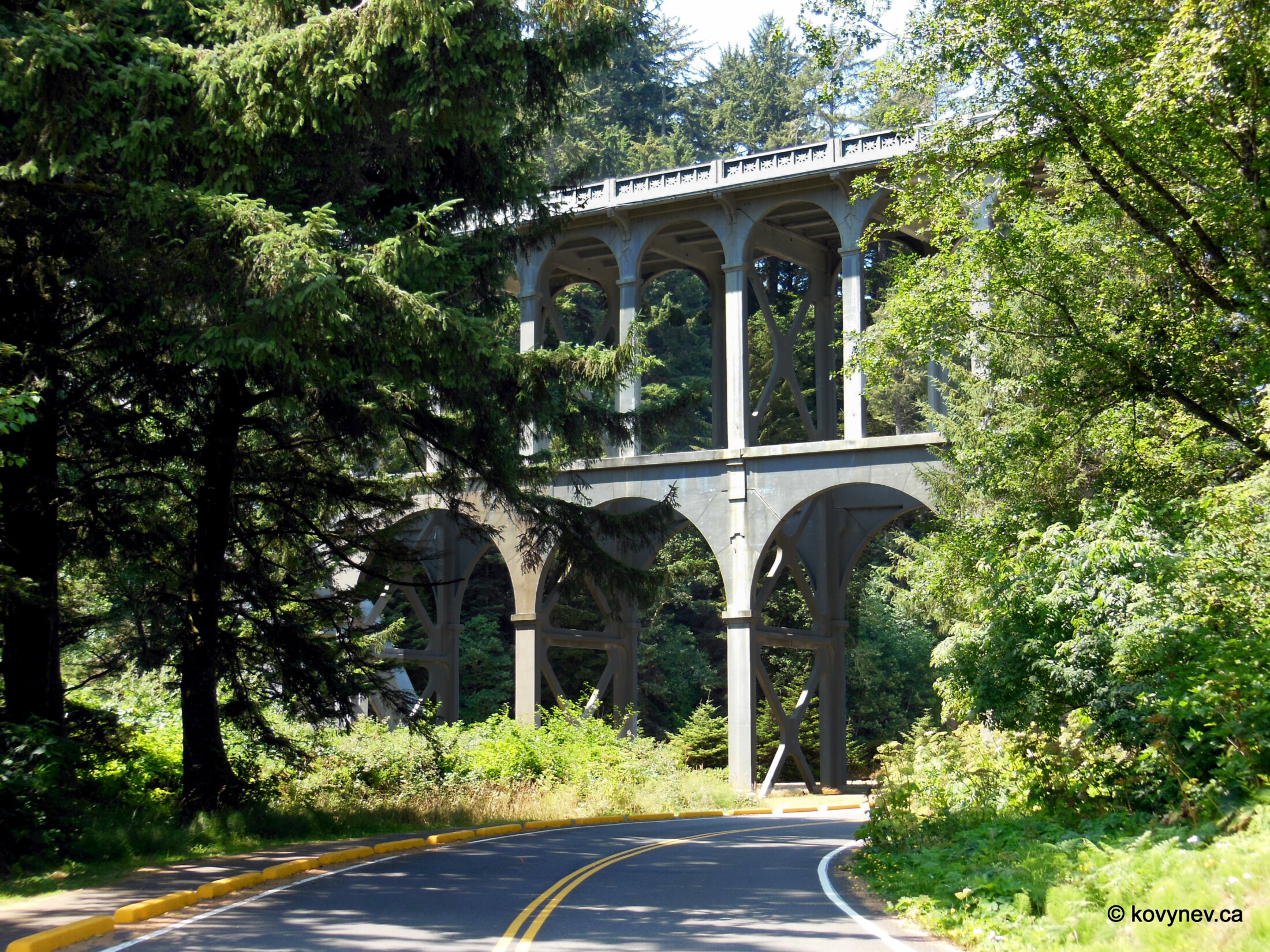
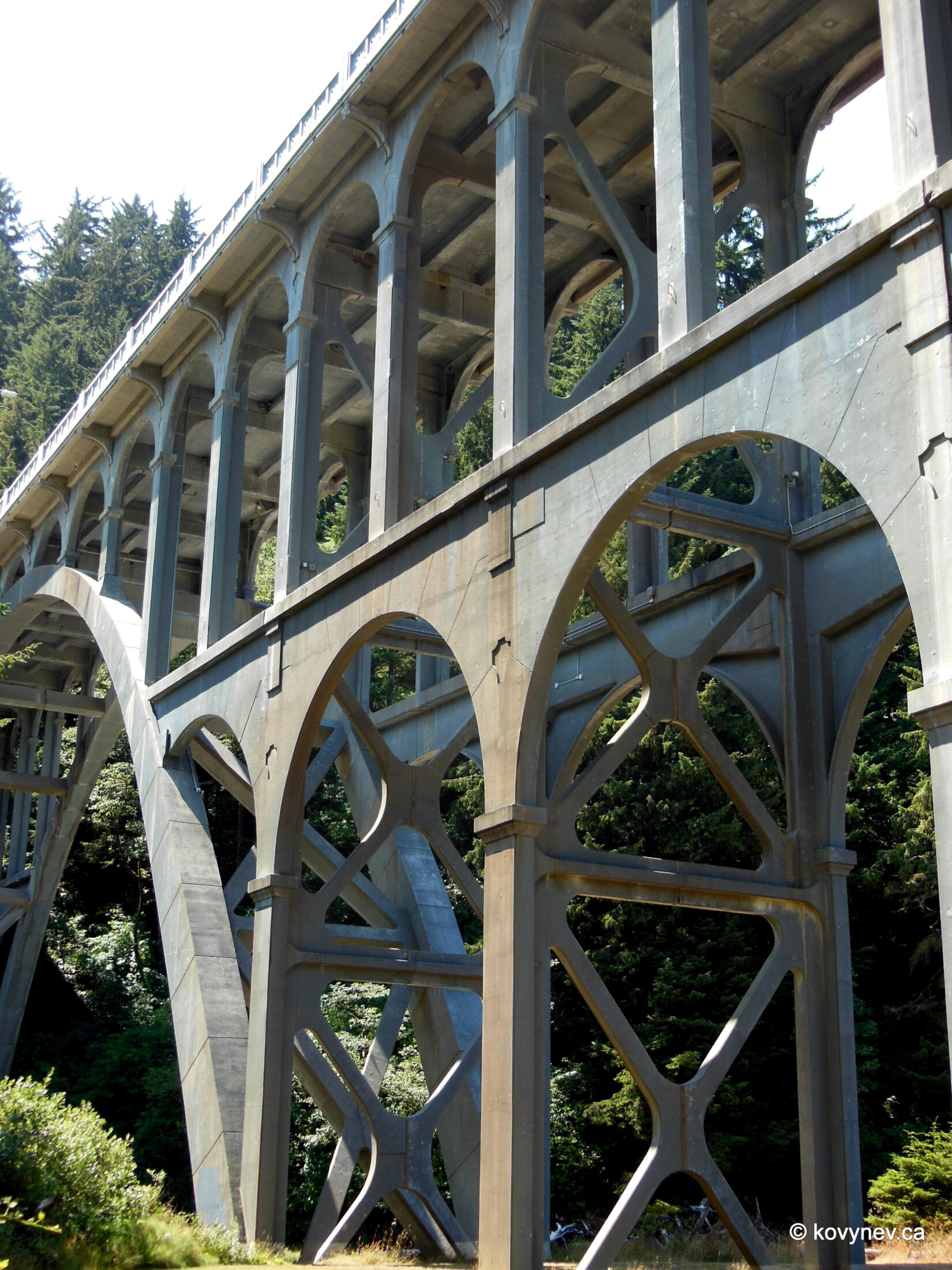
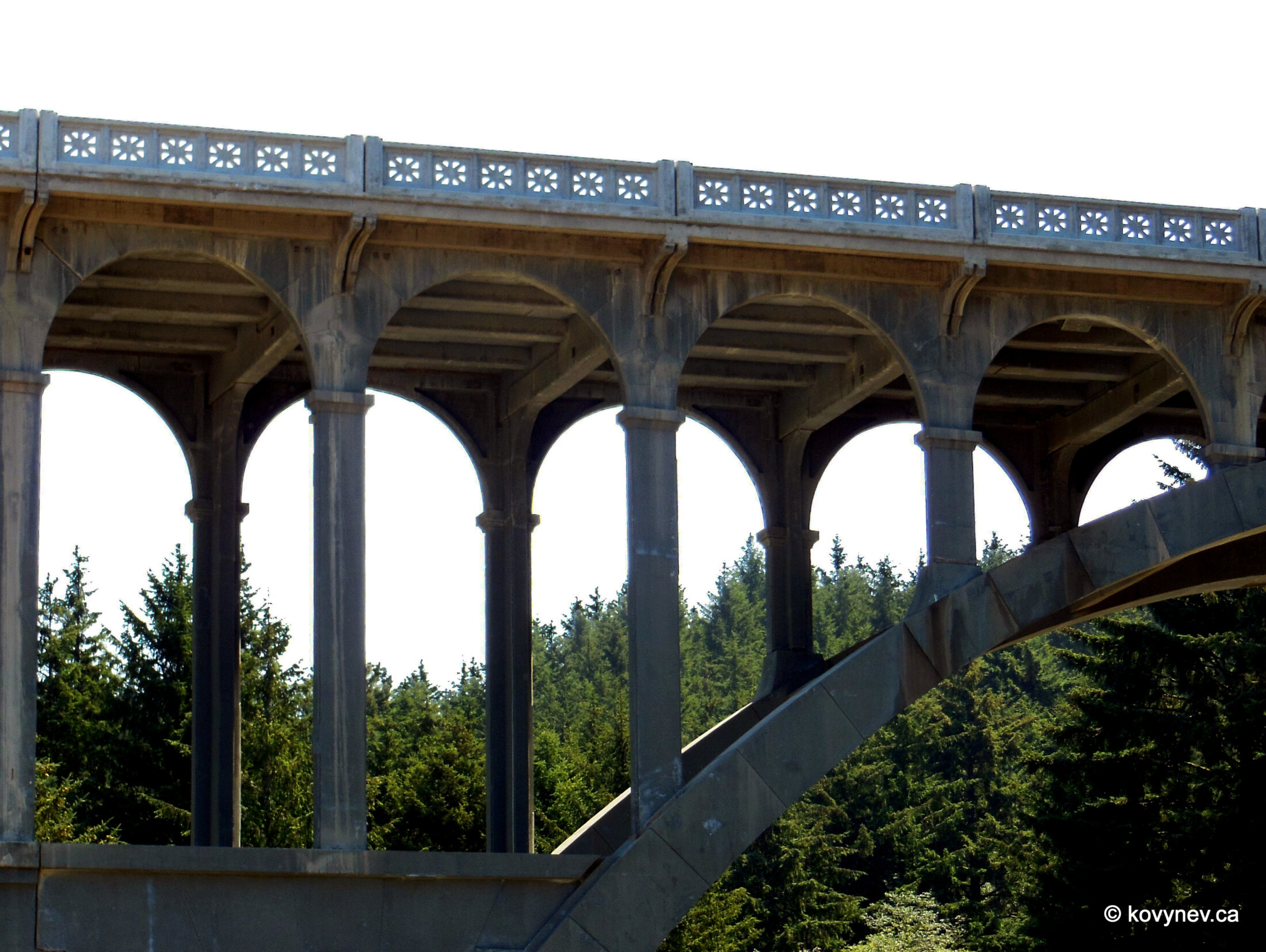
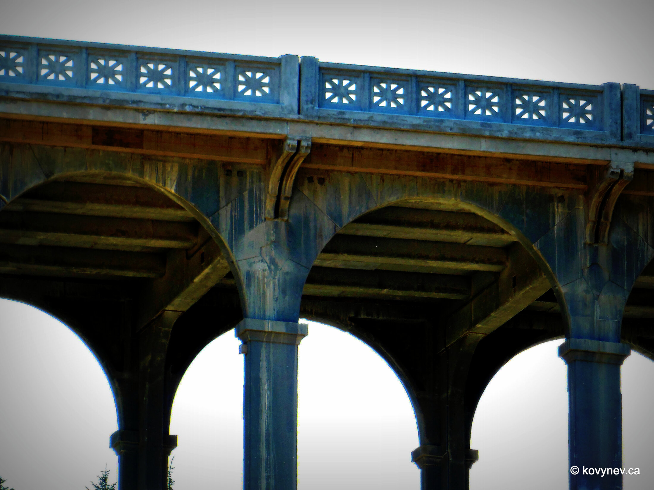
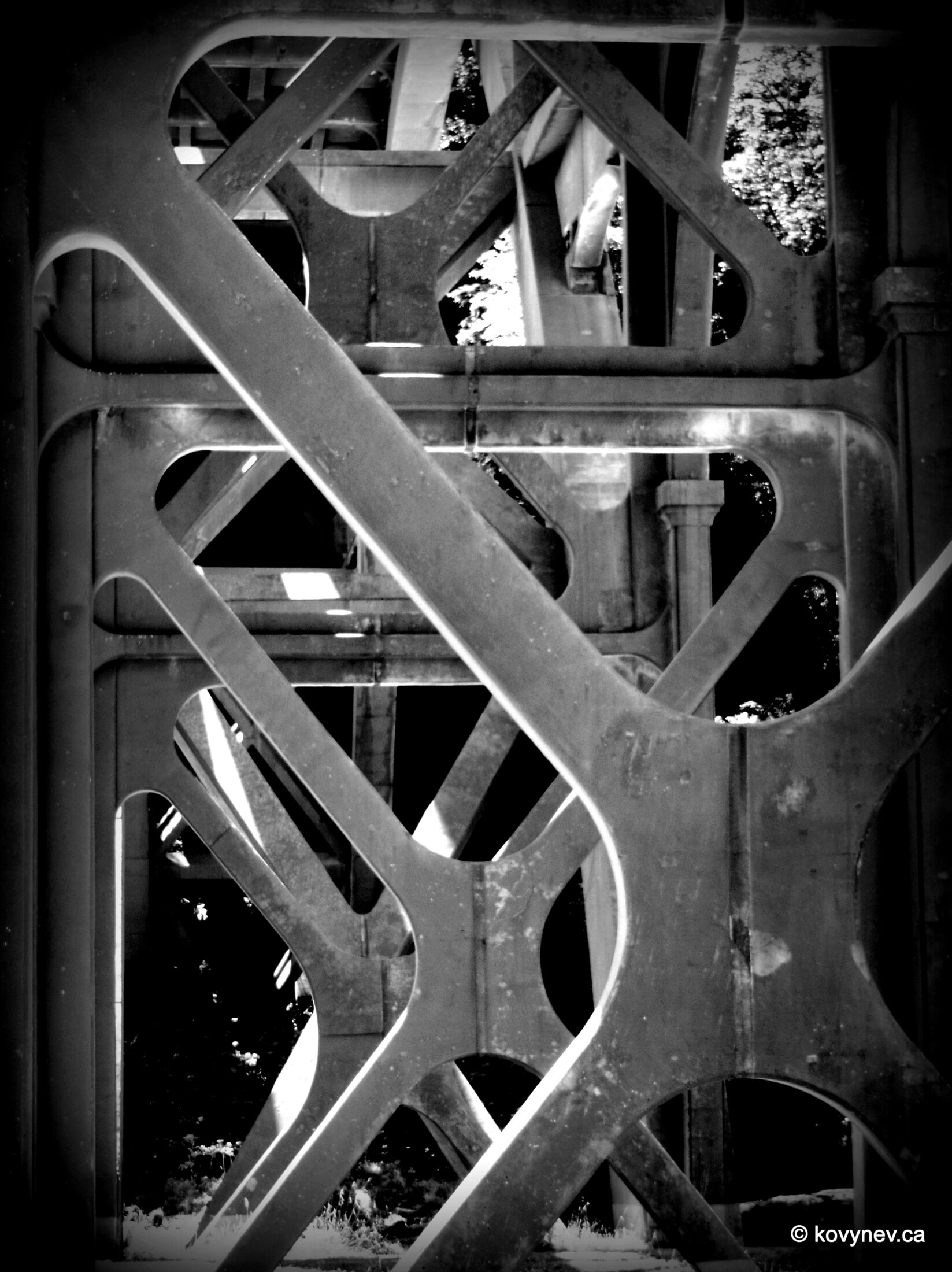
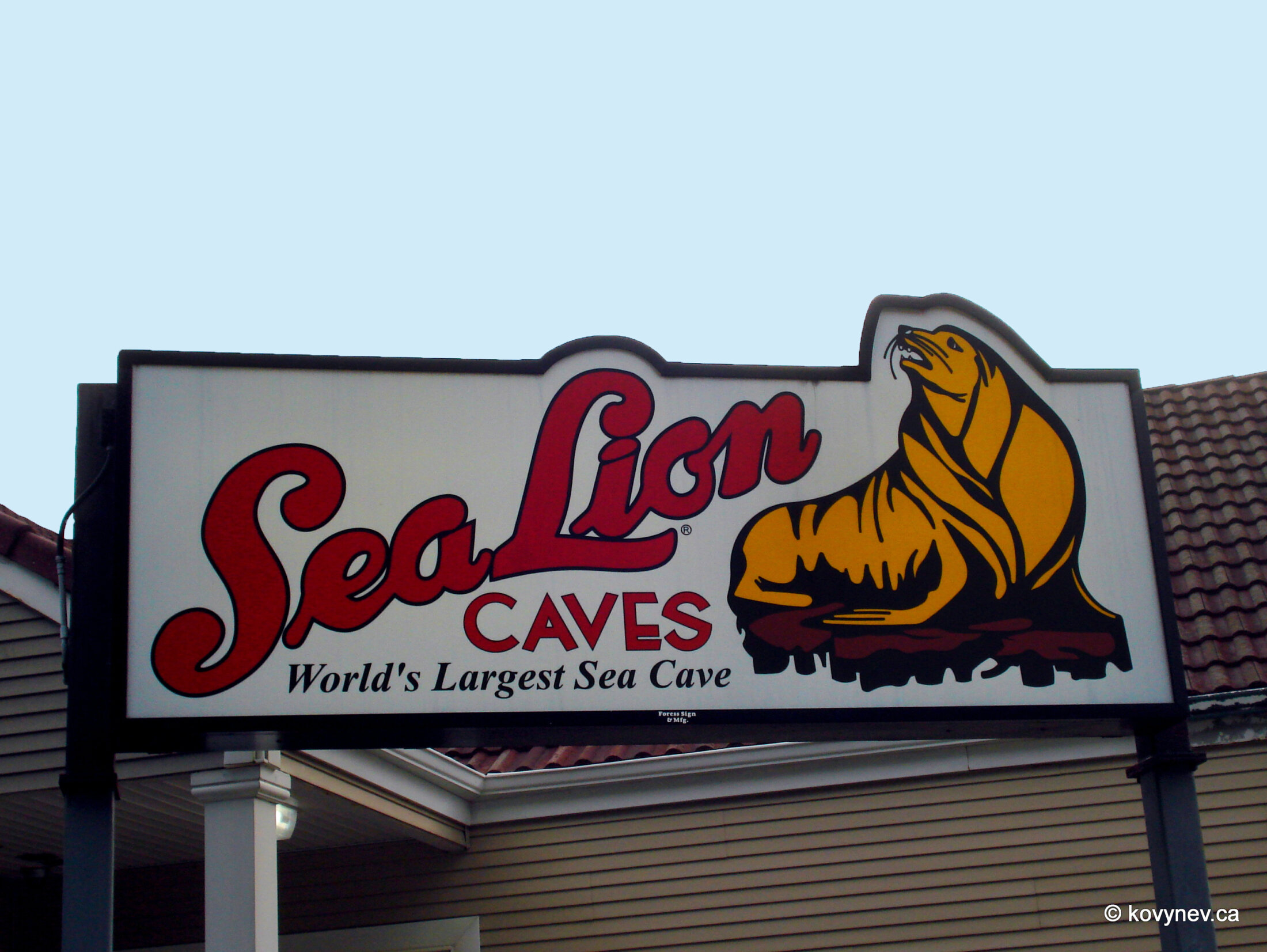
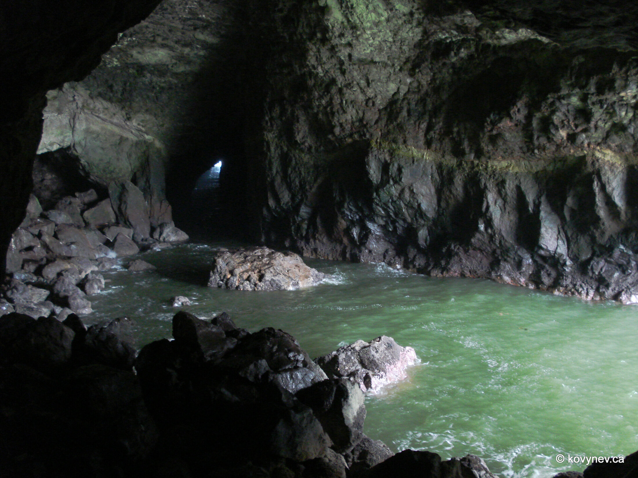
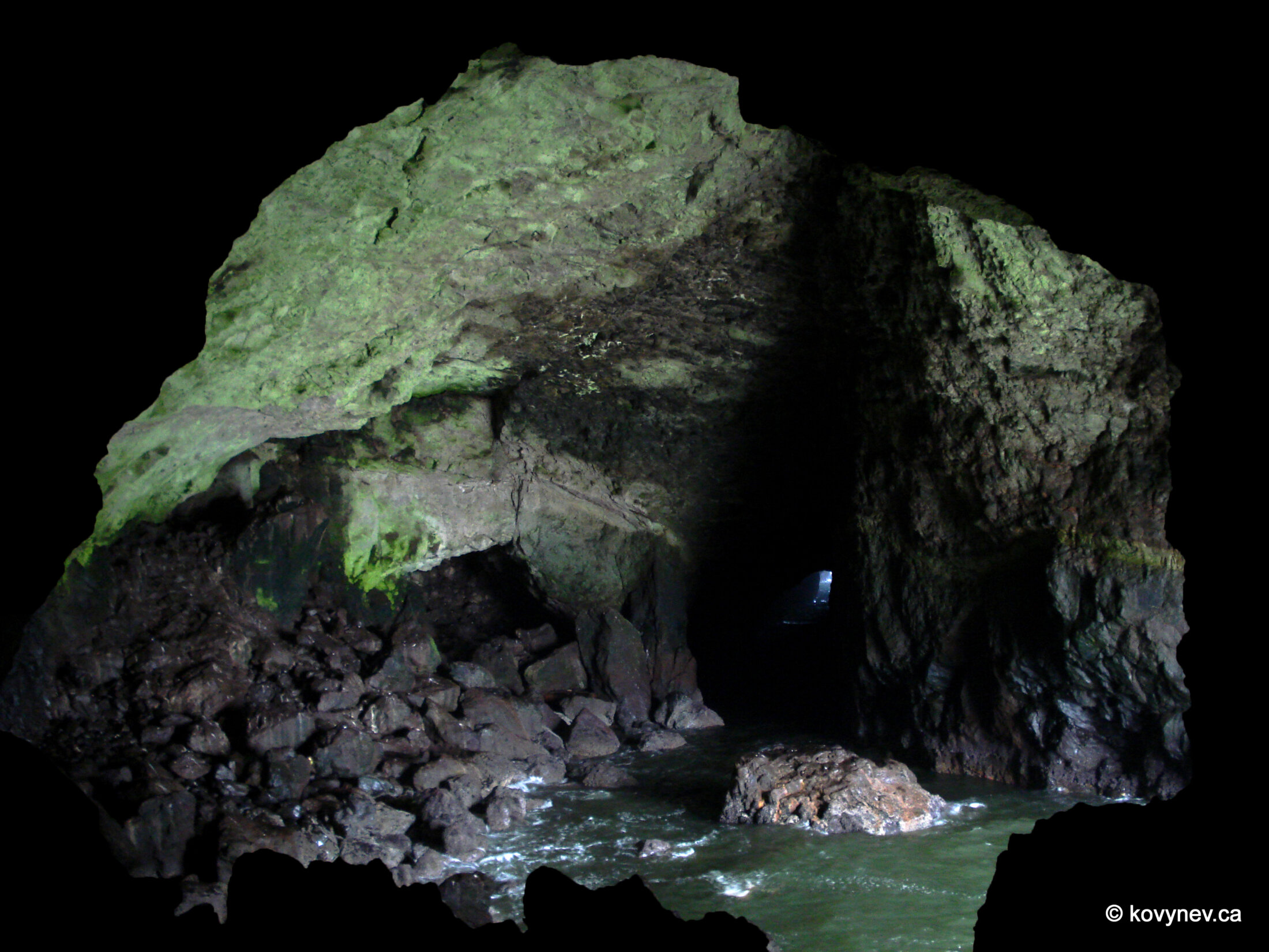
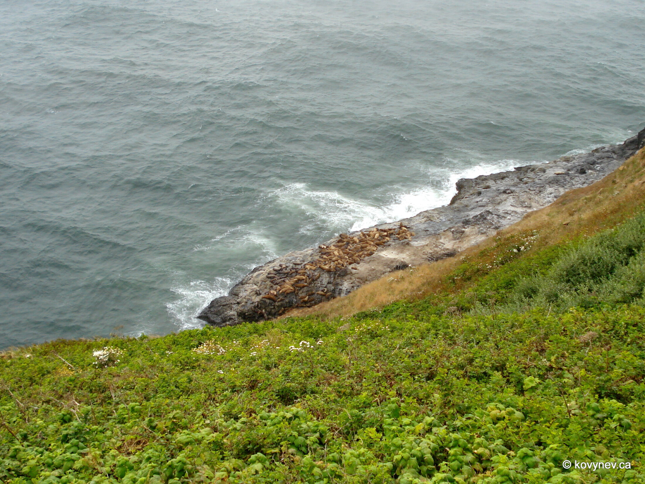
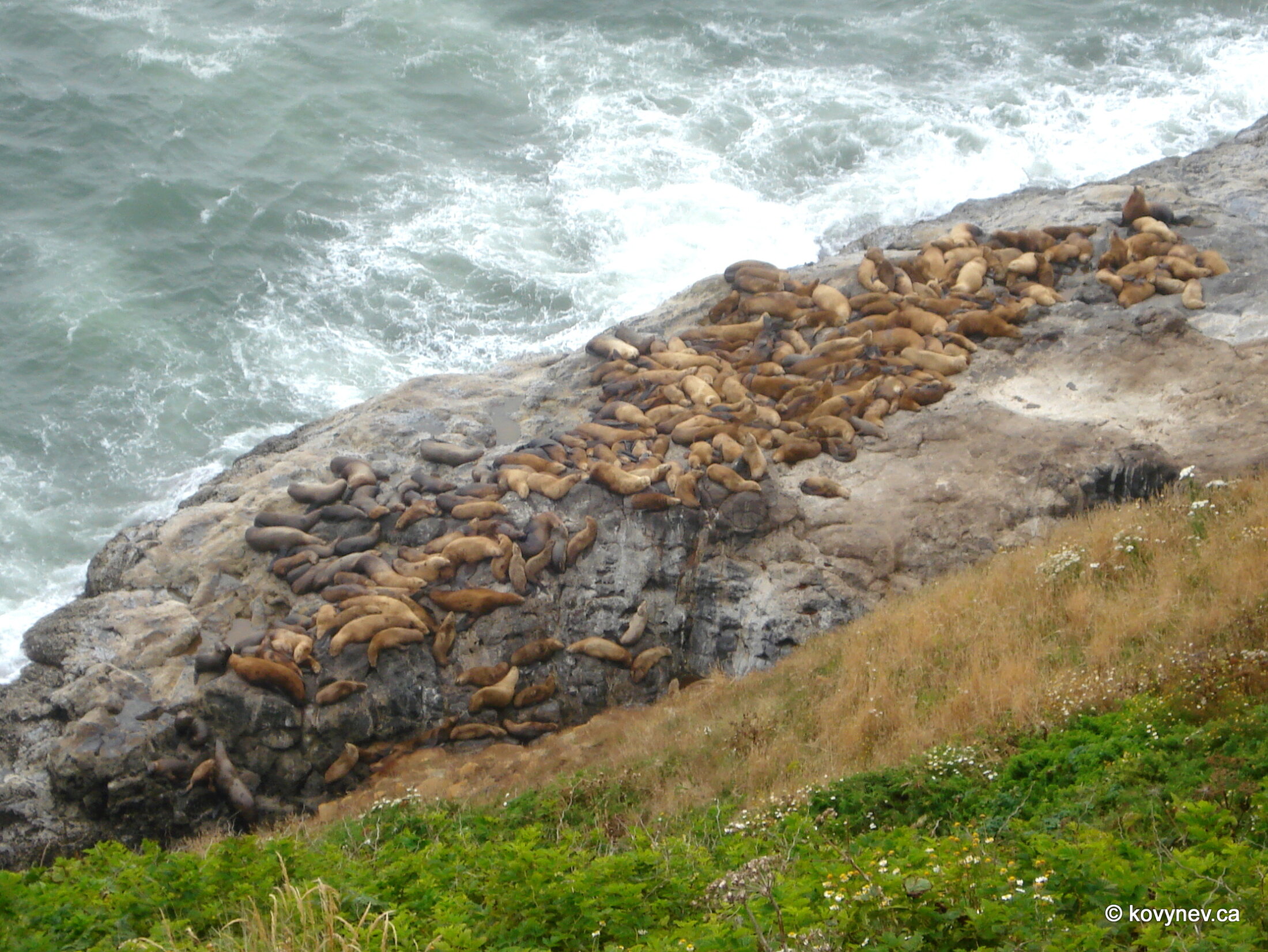
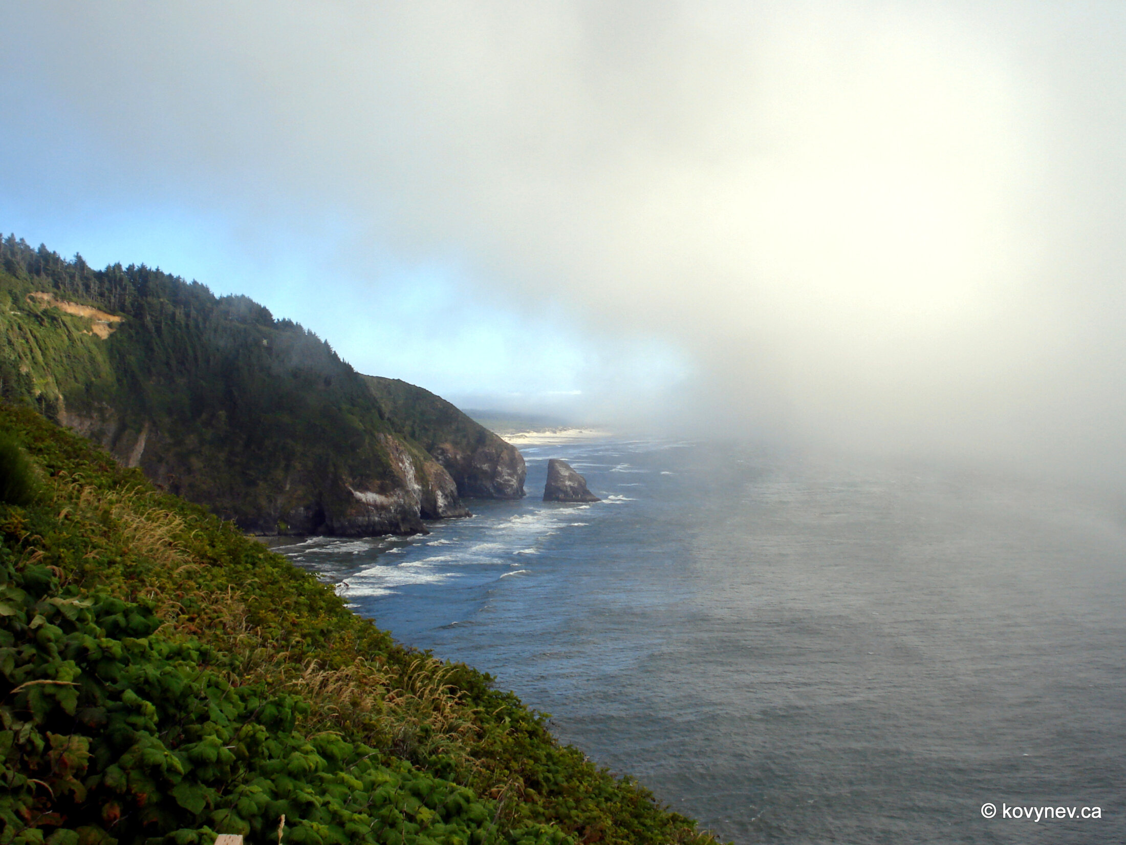
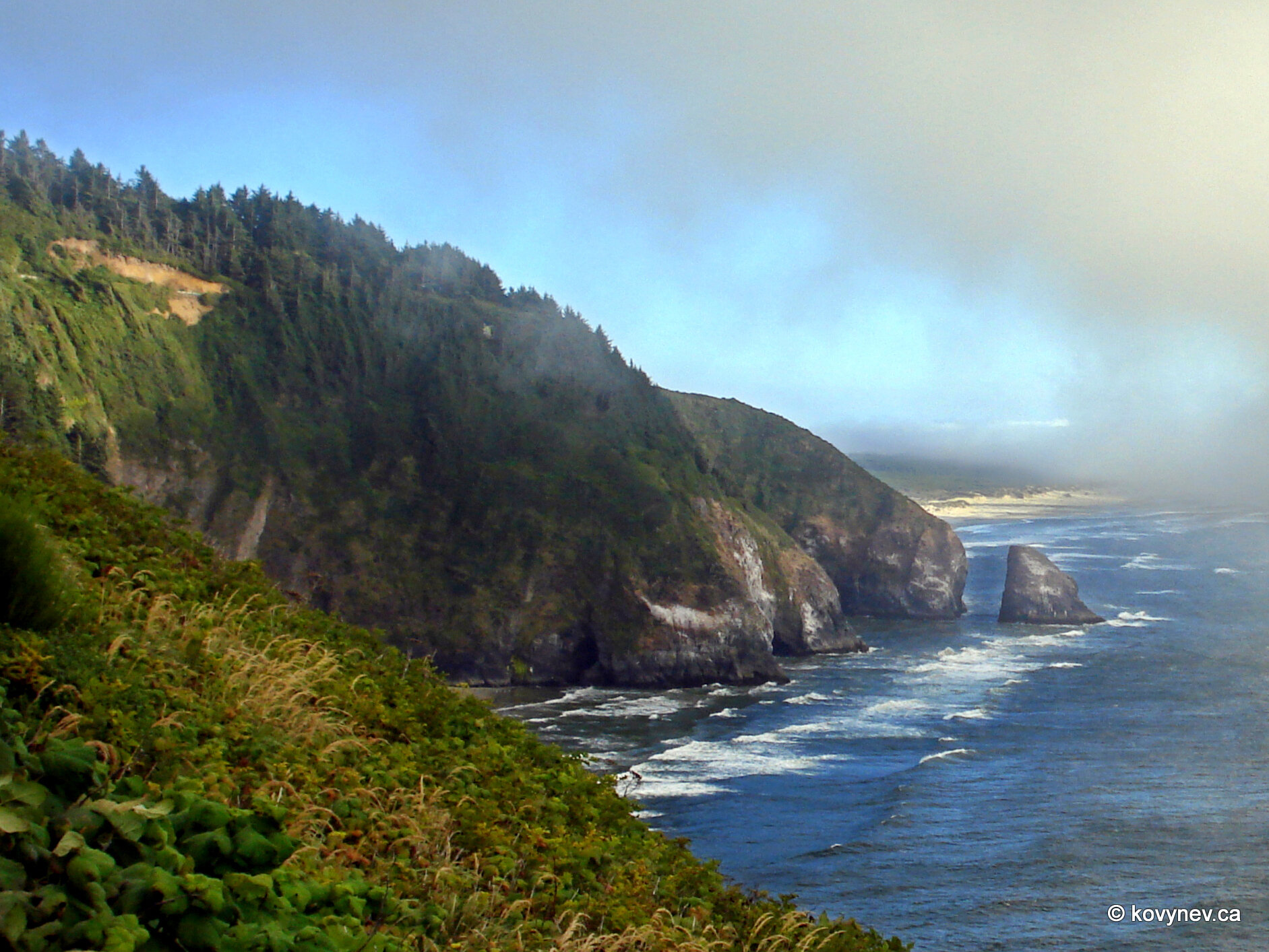
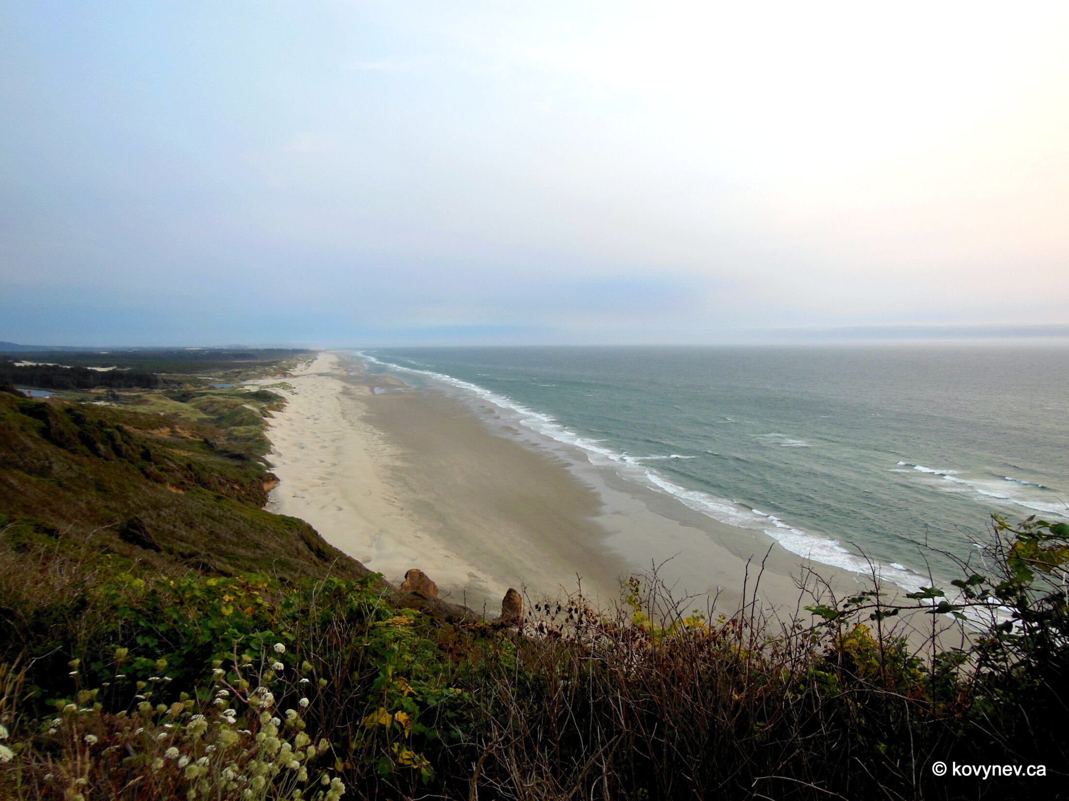
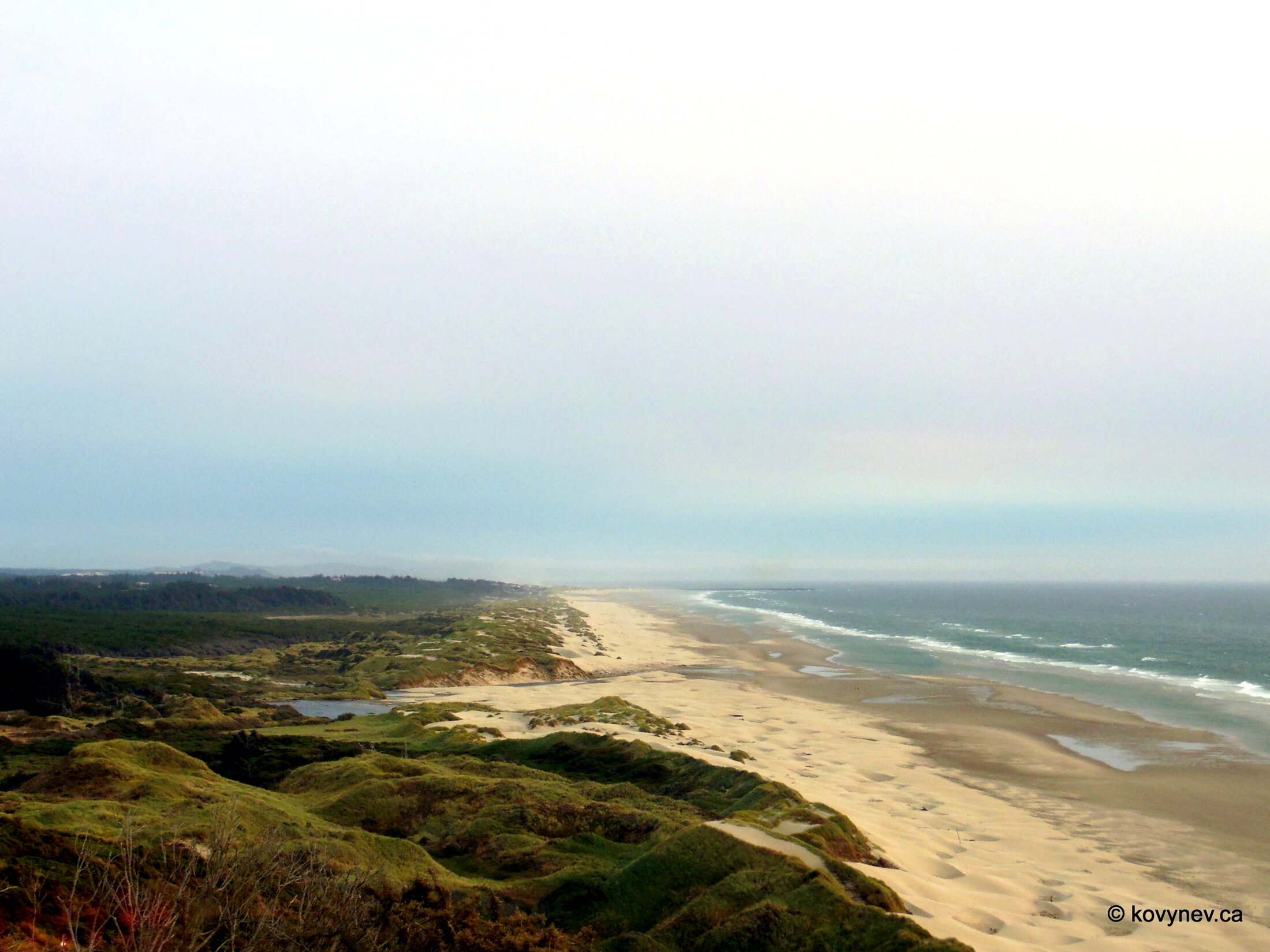
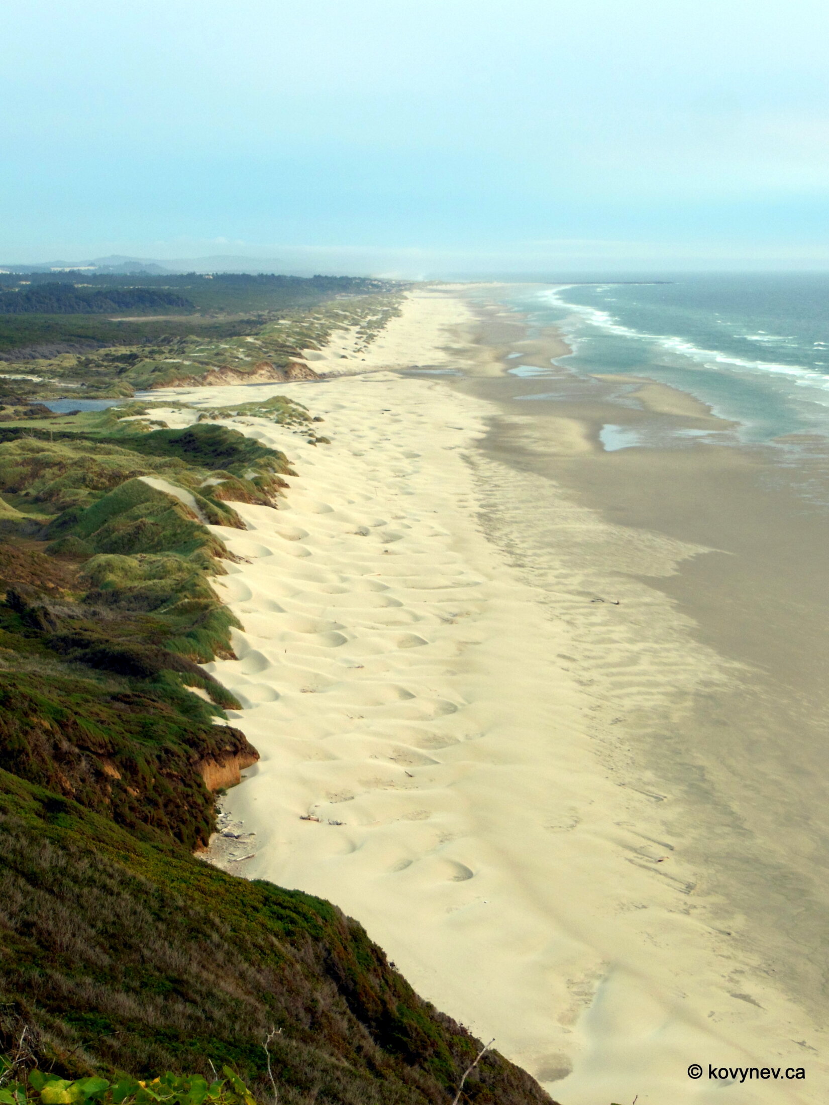
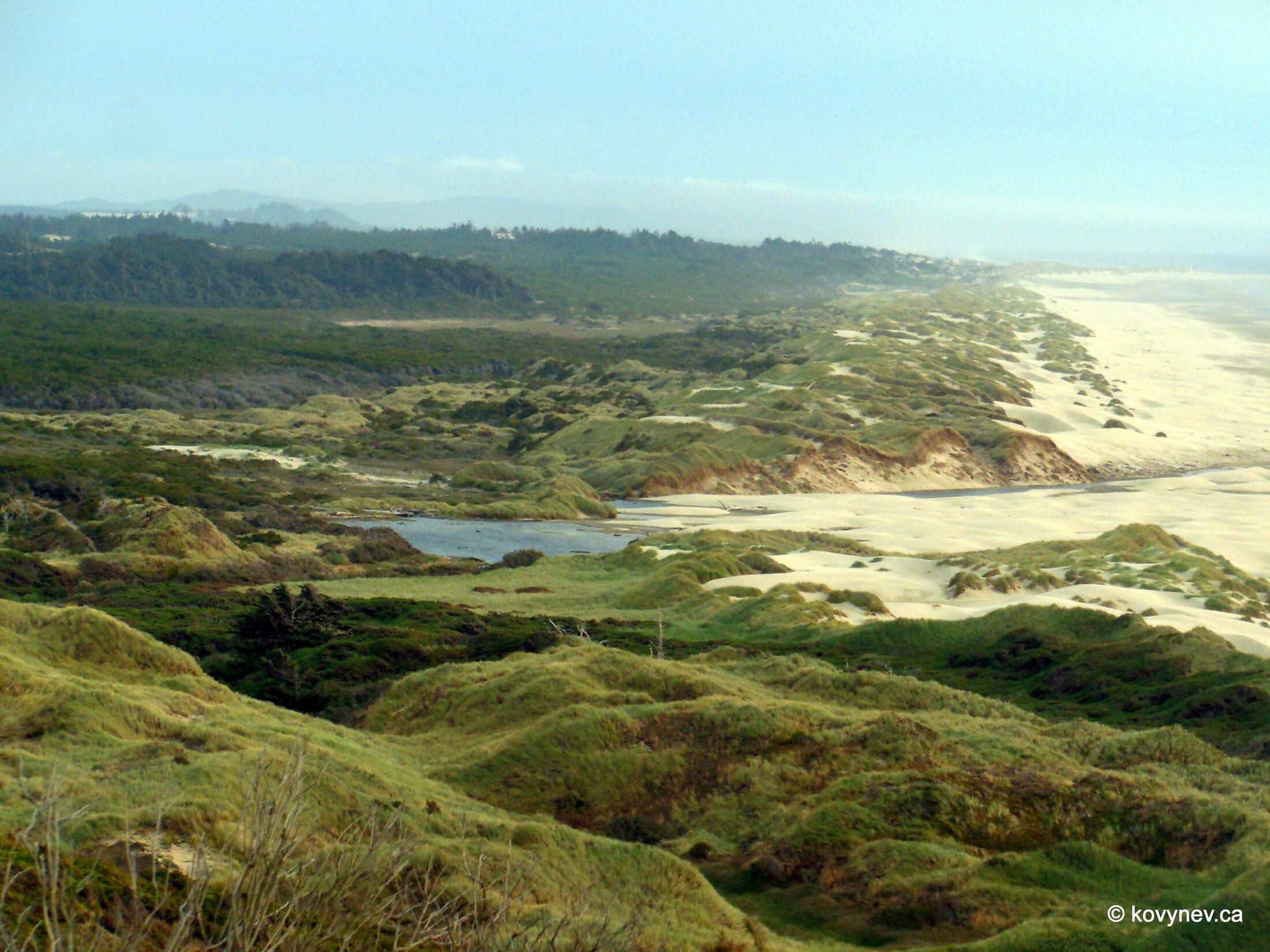
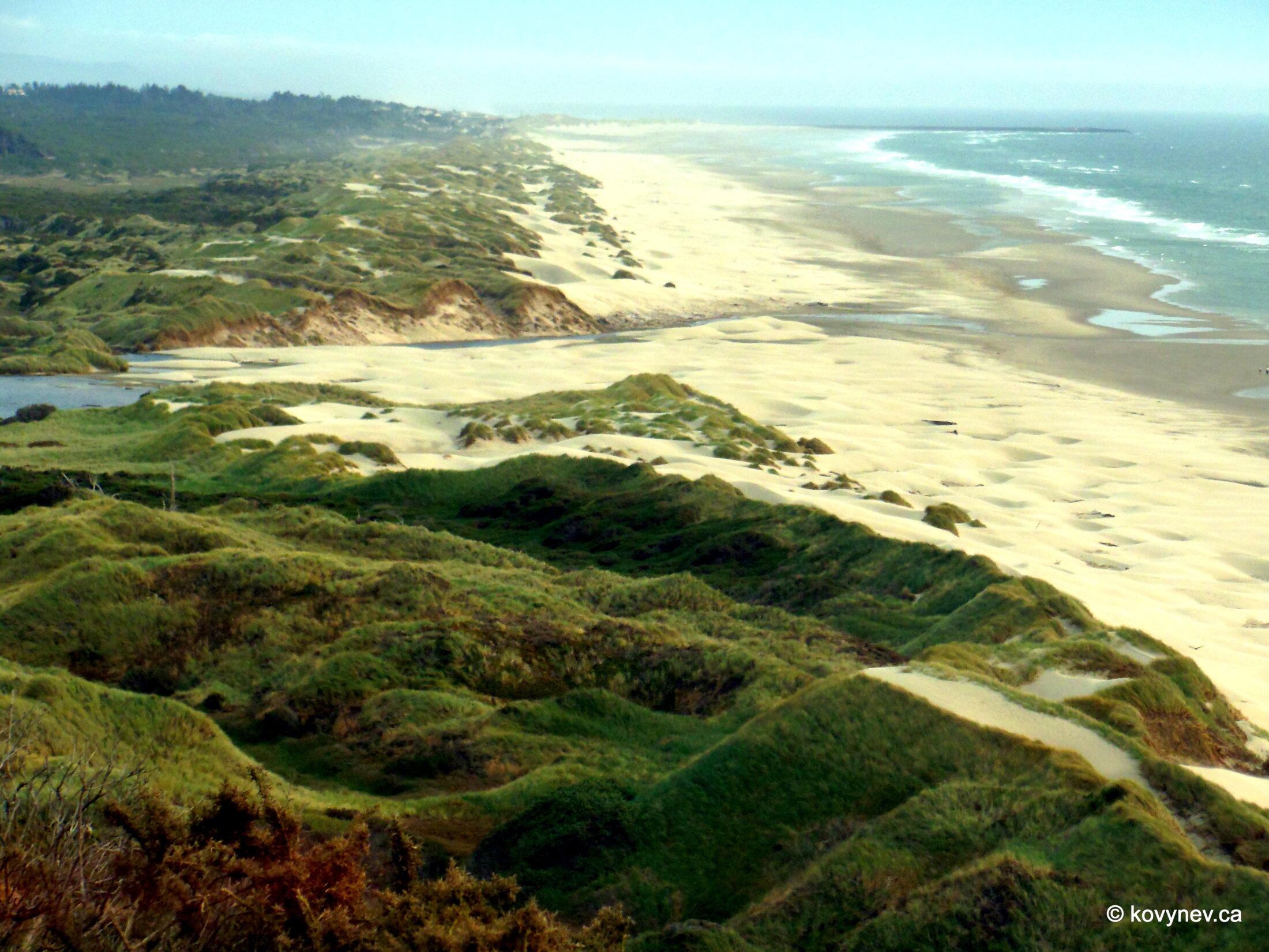
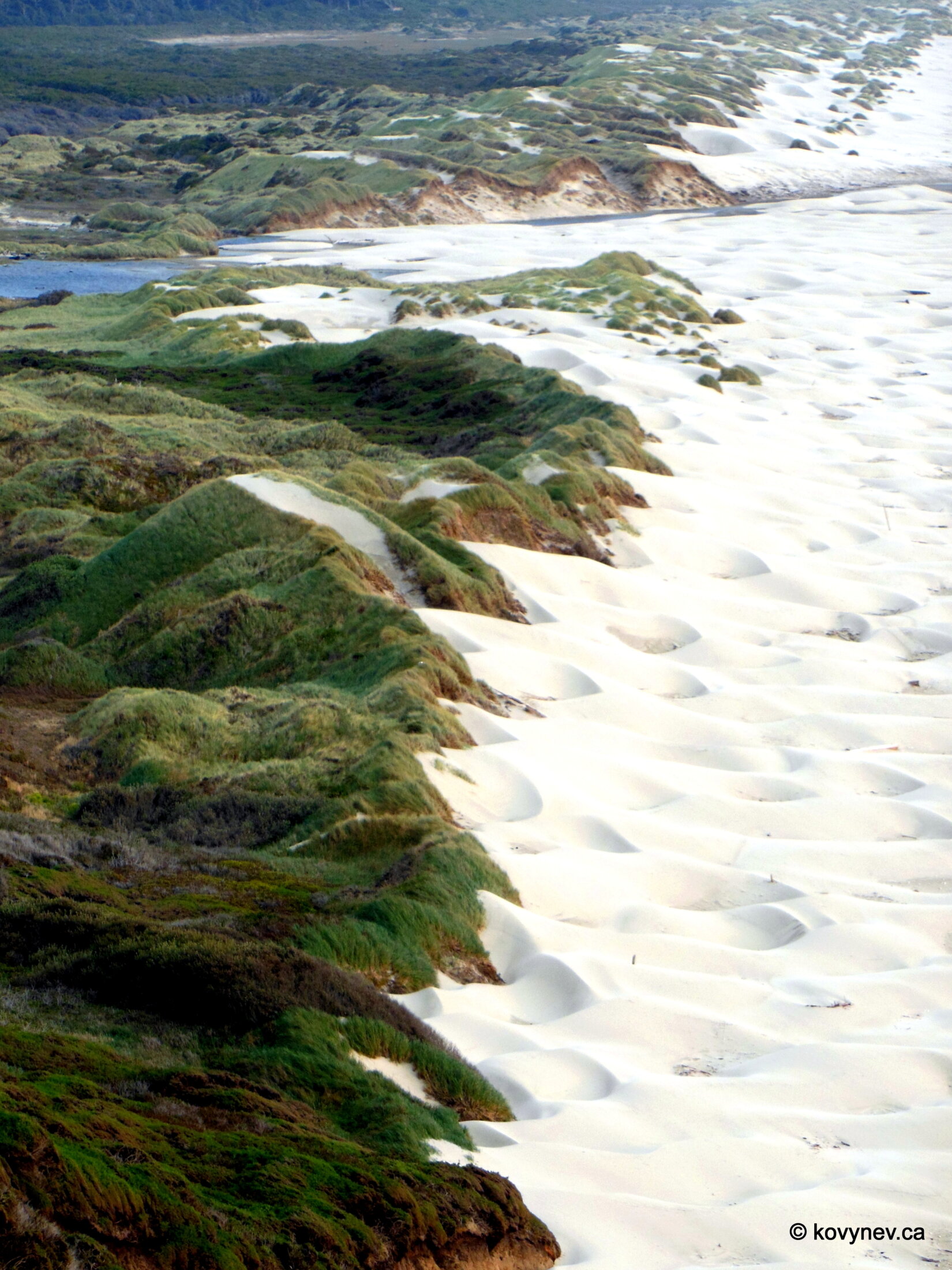
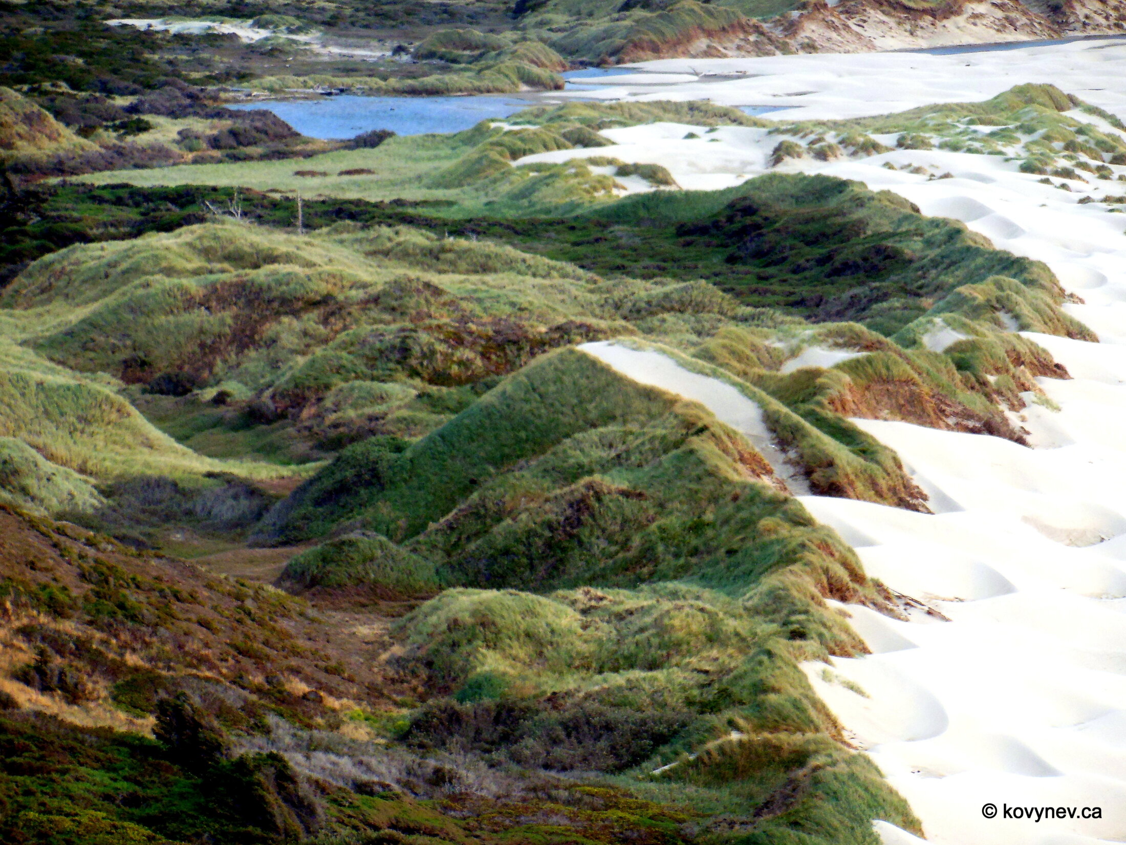
Heceta Head as seen from a bit farther down the road, from Sealion Beach Viewpoint. The distance gives you a nice perspective of the cape rising 300 m above the ocean. Another headland before Heceta, closer to us, is called Devil′s Elbow. (There are a lot of devil′s whatnots on this coast. What′s up with that...)And this is the Heceta Head Lighthouse, one of the most photographed objects on the Oregon Coast. The lighthouse is not particularly big - it′s only 17 m high, but it′s quite powerful - its light is seen 21 miles from land. A little red-roofed house adjacent to the lighthouse is the Keeper′s Quarters. No keepers anymore though - the lighthouse is automatic.Just a picturesque image of surf on the Sealion Beach, while still standing on the viewpoint above it.And now we are on Heceta Beach, the closest possible point to Heceta Head, unless you want to hike onto the cape itself. As you can see, this is not the best vantage point for viewing the lighthouse. So, it′s a good thing we stopped a bit far back first.Still on Heceta Beach, trying to capture the glistening of water in the sun.A few steps from the beach, we find another of Conde McCullough′s creations - Cape Creek Bridge. It′s designed in the style of a Roman aqueduct, with several (two here) layers of arches on top of each other.Again, you will have to endure quite a few pictures of this engineering marvel, just because I tend to be fascinated by things like this.Right next to Heceta Head there is one of the biggest tourist attractions on Oregon Coast - Sea Lion Caves. As you can see here, it claims to be the biggest sea cave in the world, but the truth is, it′s among the first ten.Anyway, the caves are pretty big. The total floor area is 2 acres (almost a hectare), with the height of the cave ceiling up to 40 m. The caves only open into the sea, and there is no way of getting in from the land naturally. Now there is, through the giftshop. Otherwise, how would the tourists get in there, right?The reason they are called "sea lion caves" is because sea lions chose them as their rookery. Don′t get spooked by the word that means "a colony of rooks, typically a collection of nests high in the trees". They use the same word for sea lions, other sea mammals, and even turtles. English is weird.The sea lions are supposed to be congregating on those brown stones at the bottom, but as you can see, there were no sea lions when I was there. The caves were completely empty. Just my luck.The reason the sea lions are not in the caves, is because they are all outside, enjoying the nice weather (a quite rare occurrence in these parts). Looks like, it′s nap time right now. I personally see just one single sea lion who is awake. Can you spot it?After you have enjoyed the riveting sight of the napping sea lions, don′t forget to look the other way. It′s a pretty view too.After Sea Lions Caves, our destination is Cape Blanco, 100 miles farther down south. But before getting there, we will stop at another pretty spot - Baker Beach.Don′t confuse it with Baker Beach in San Francisco, which is much better known. Remember I said, after Heceta Head the coastline becomes mostly beaches and sands? Baker Beach is where all this actually starts.Baker Beach is part of the area known as the Oregon Dunes, the largest expanse of coastal sand dunes in North America, covering 7,000 acres (almost 30 sq km). These dunes inspired Frank Herbert, the author of "Dune", to write his famous sci-fi series. He was a journalist in San Francisco at the time, and was tasked with writing an article about the Oregon Dunes. The ecology of the vast expanses of sand fascinated him so much that he imagined a whole planet covered with dunes.And how can you not be fascinated by it! Just look at these white sands, gradually blending with the green vegetation, increasingly so the farther you get from the water.One last look at the Baker Beach dunes, and on to Cape Blanco!Press ESC to exit