Right after we leave Cape Blanco, we arrive in Port Orford, which I already mentioned before. It’s one of only three cities in this part of Oregon, all the way till California border. Which probably implies, we could’ve stopped here. But we won’t. Port Orford is nothing interesting. Its only claim to fame is that it’s the most western settlement in Oregon, since it sits on that protruding mass of land, of which Cape Blanco is the tip. Other than that, the place is not remarkable by any means.
But after Port Orfort, things get a little more interesting. For example, there is this mountain called Humbug. (I will tell you later about this funny name). It’s a solitary peak, which juts out into the ocean 15 mi from Cape Blanco. There is no way to get to the top (unless you are up for some serious hiking), so we will be driving around, but we will be stopping for views before and after the mountain. This is why this gallery is called “Around Humbug Mountain”.
NIKONCOOLPIX S9300 22mm
/ 5.7
/ 10/1000s
/ ISO 125
Created: 125
Uploaded: 125
Likes: 125
Views: 125
Comments: 125
-1
-1
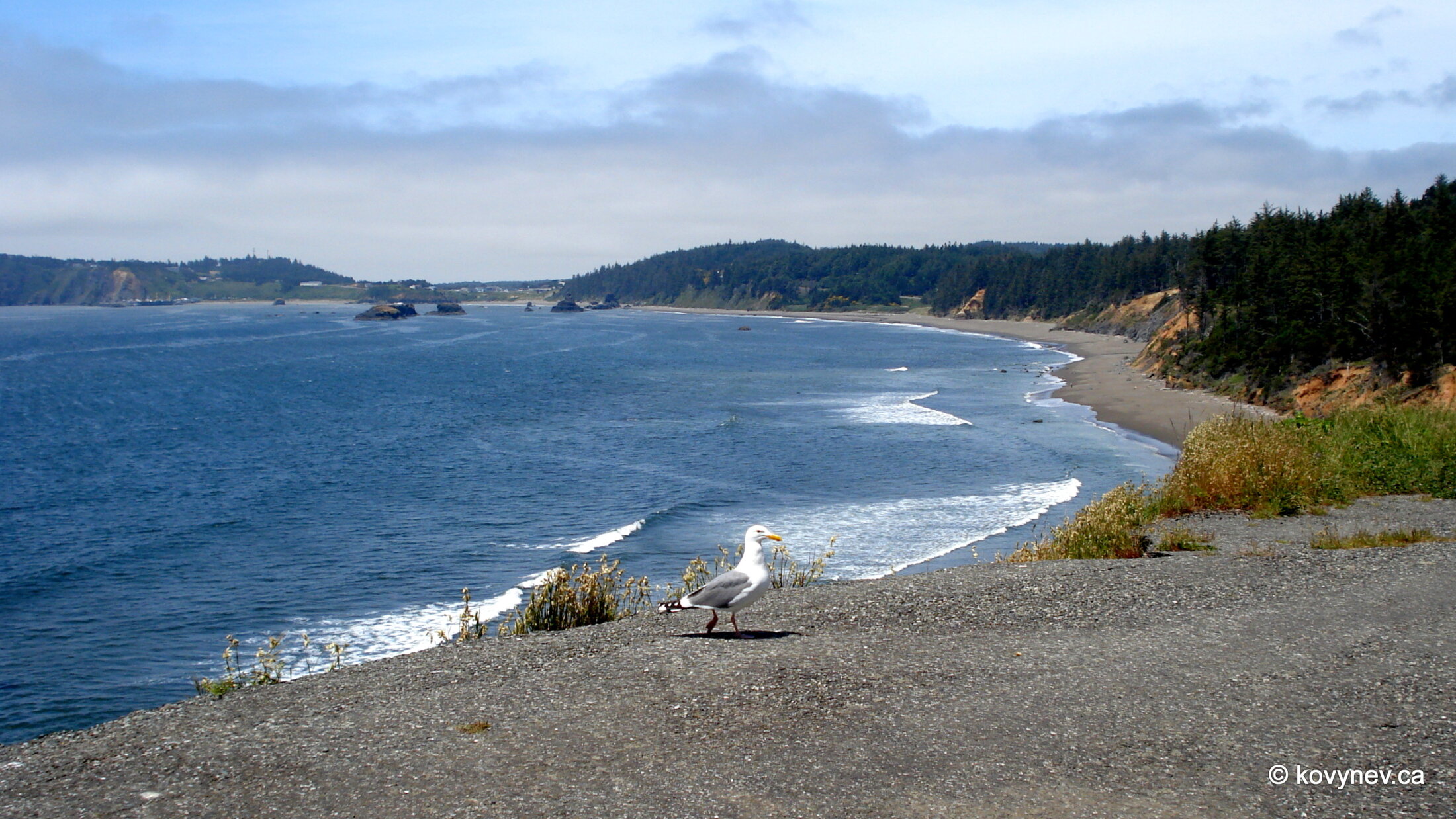
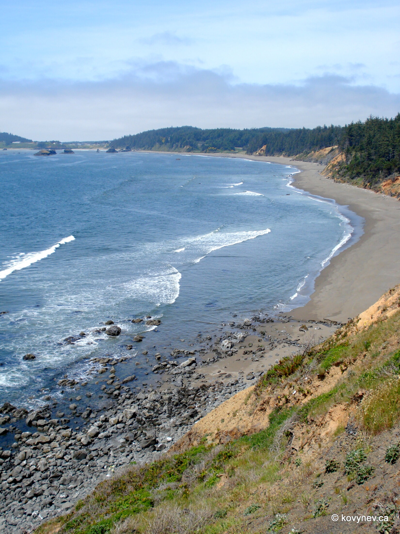
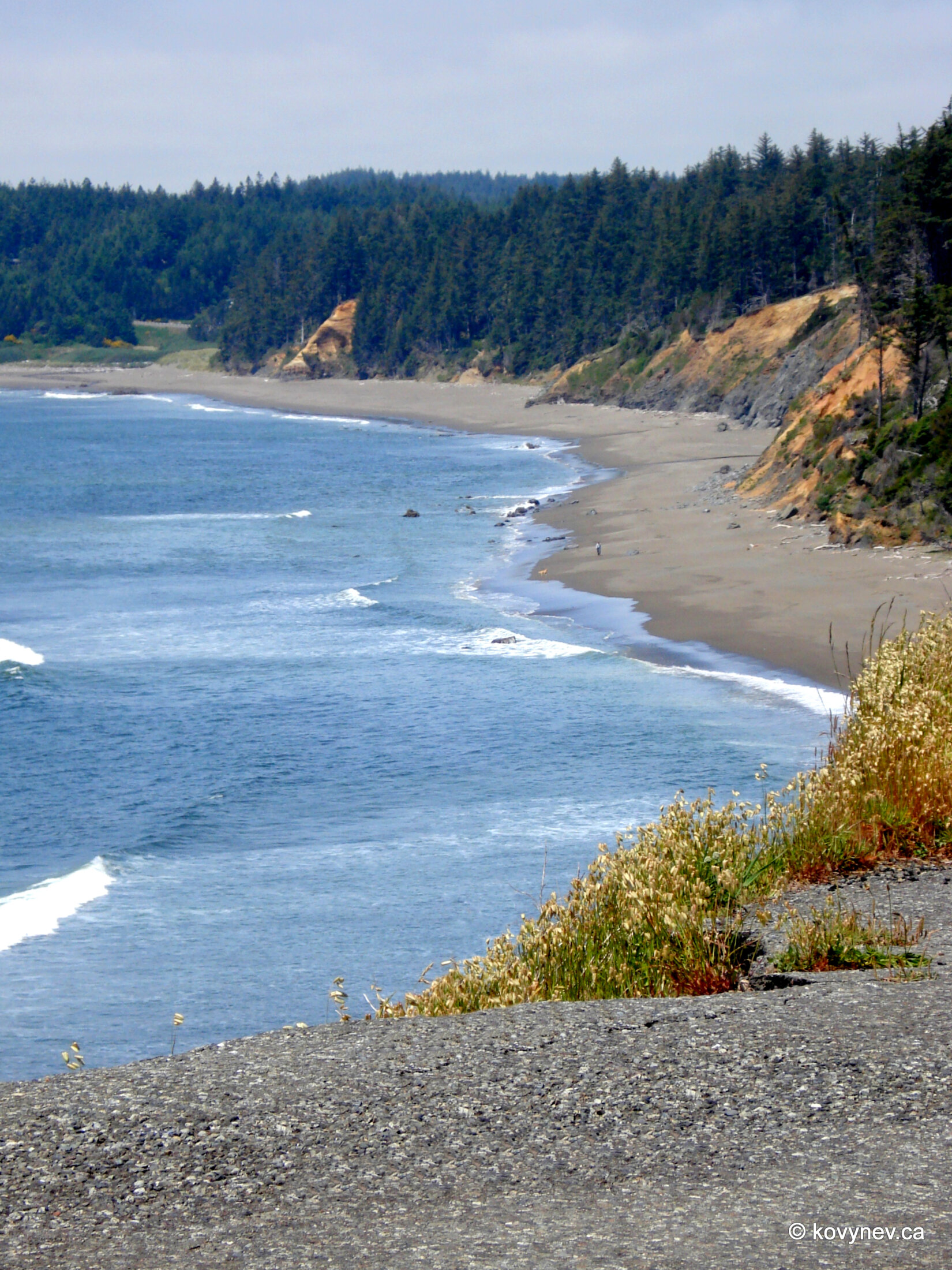
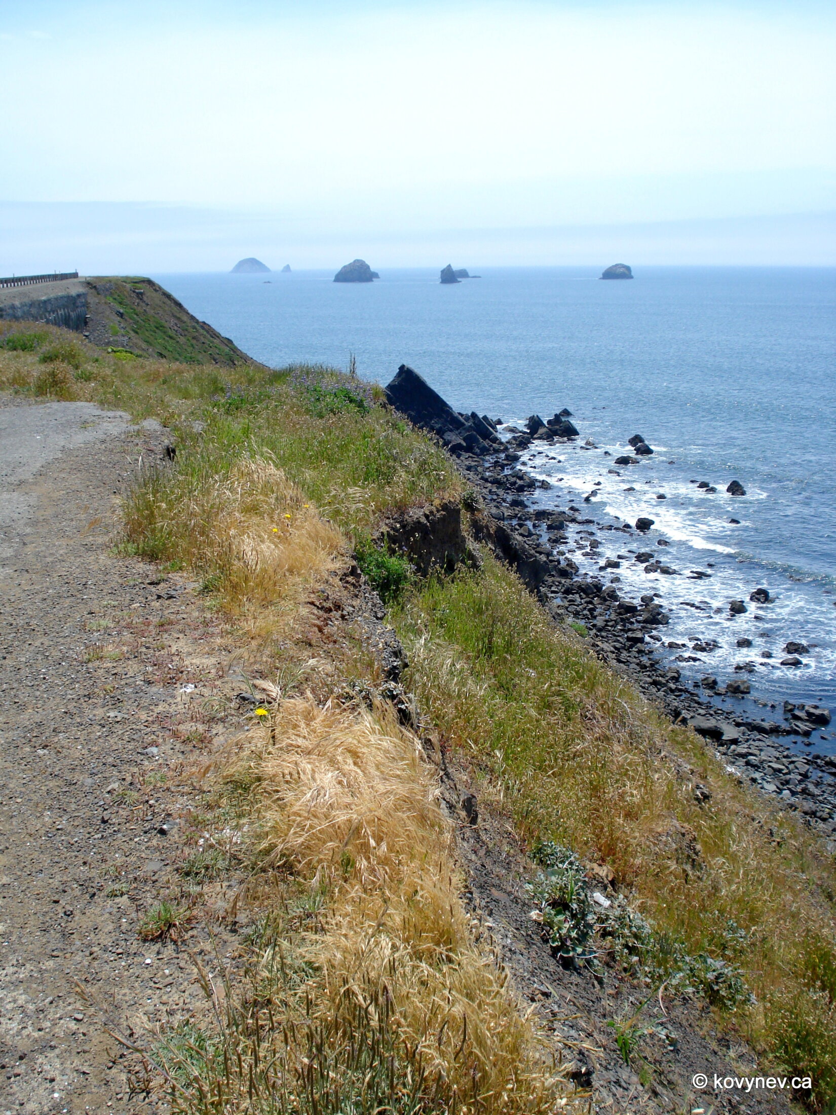
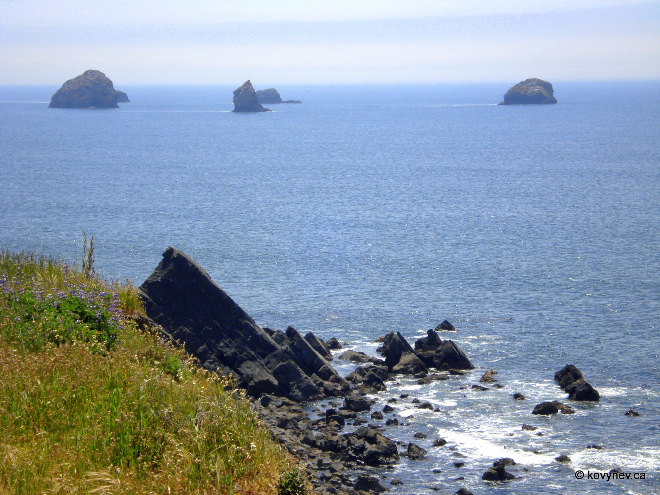
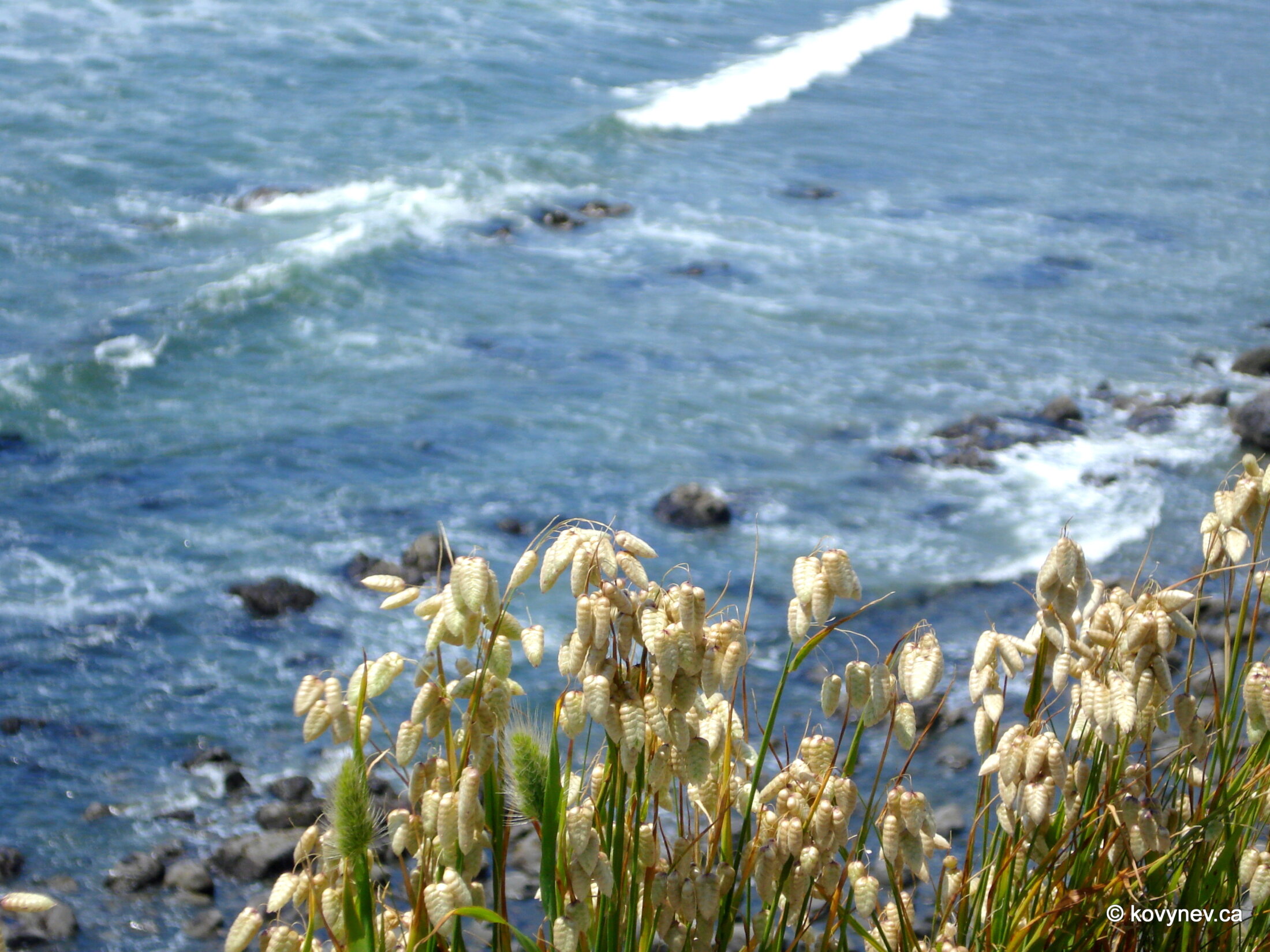
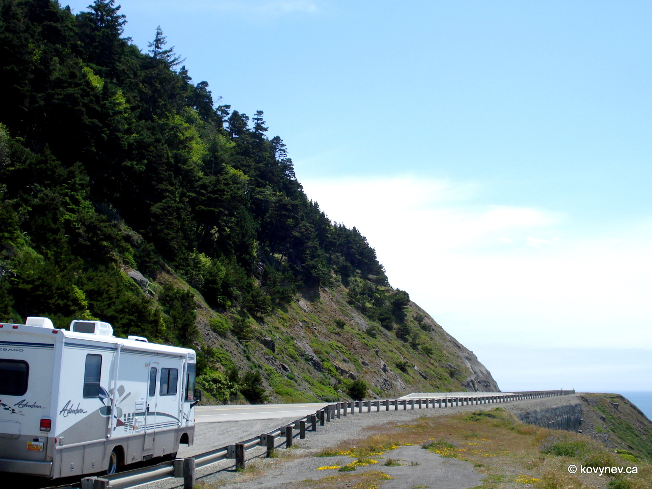
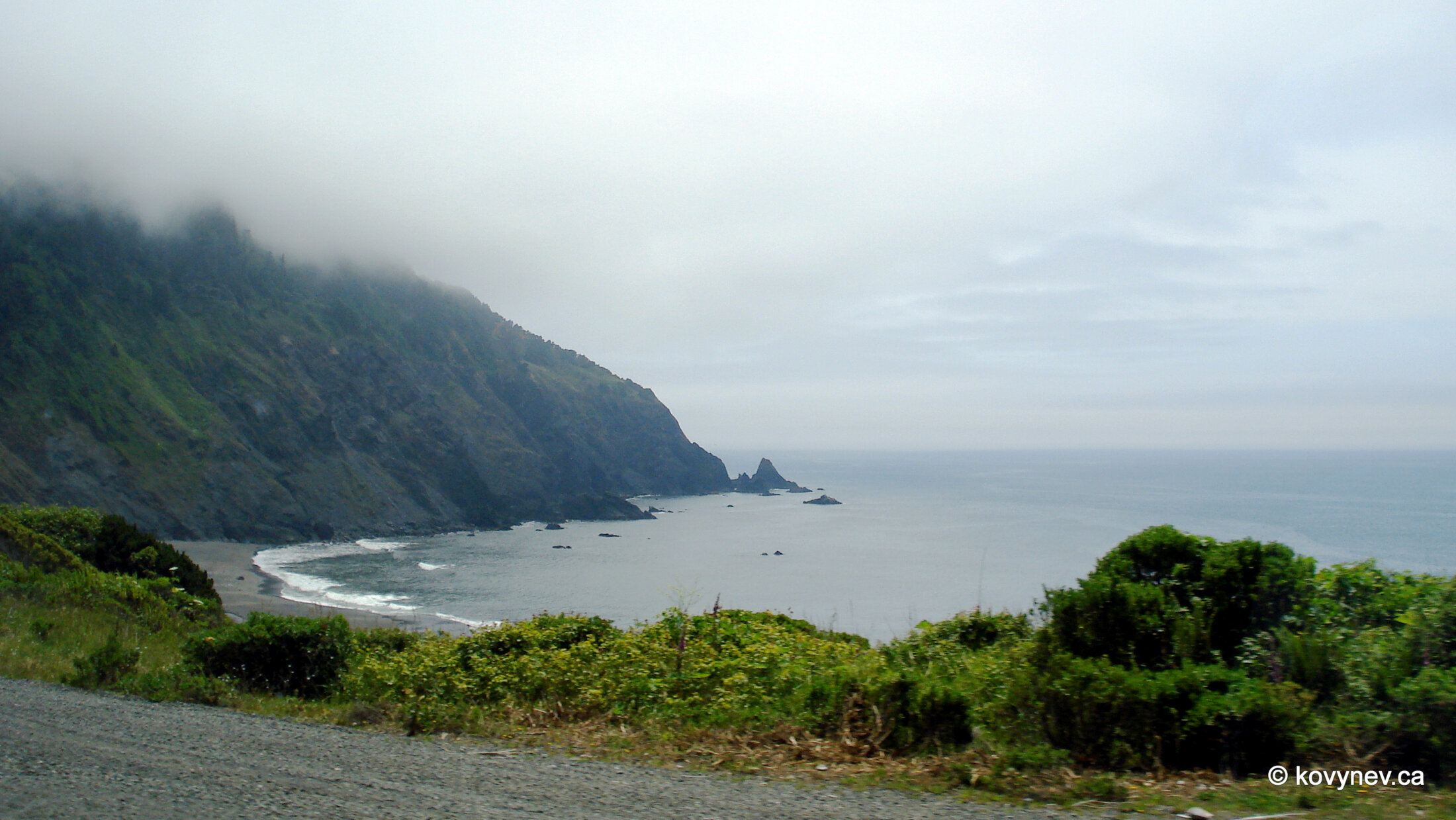
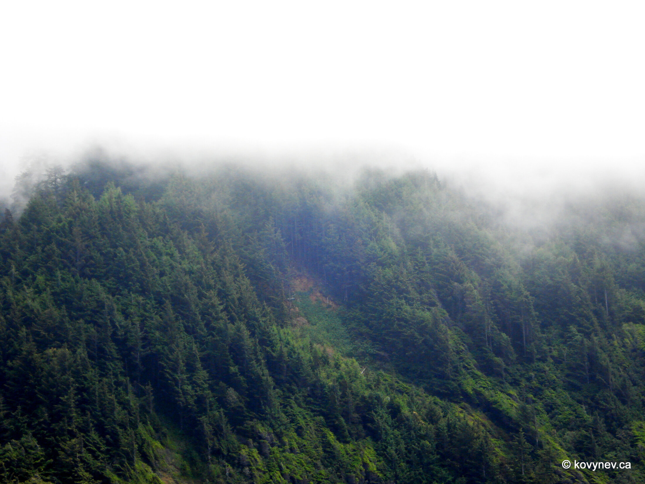
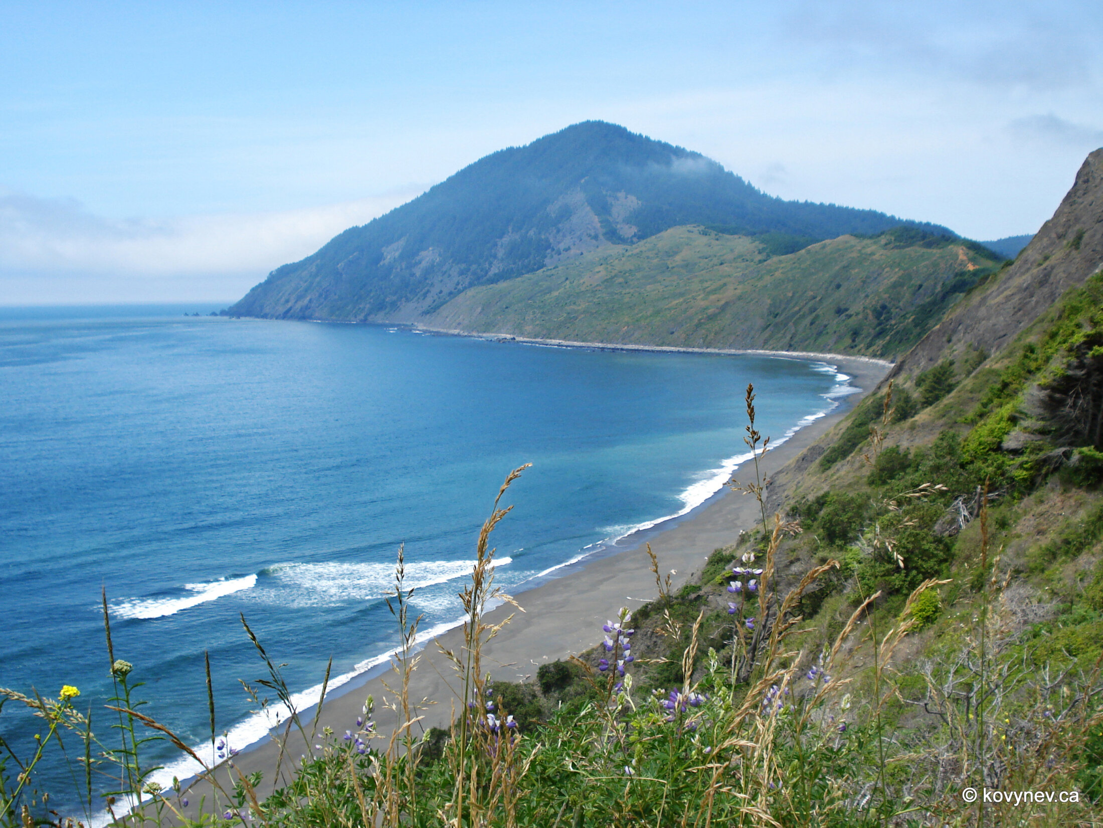
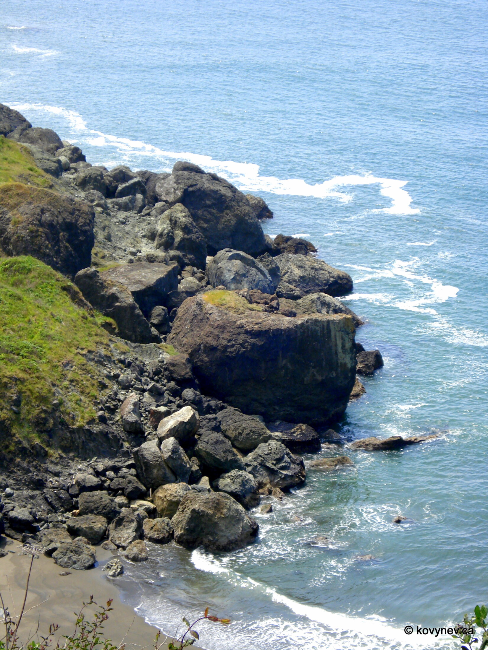
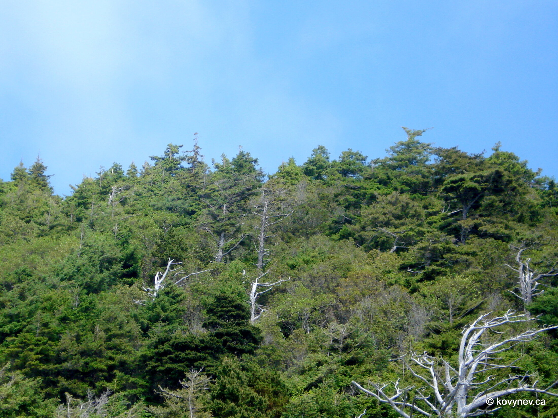
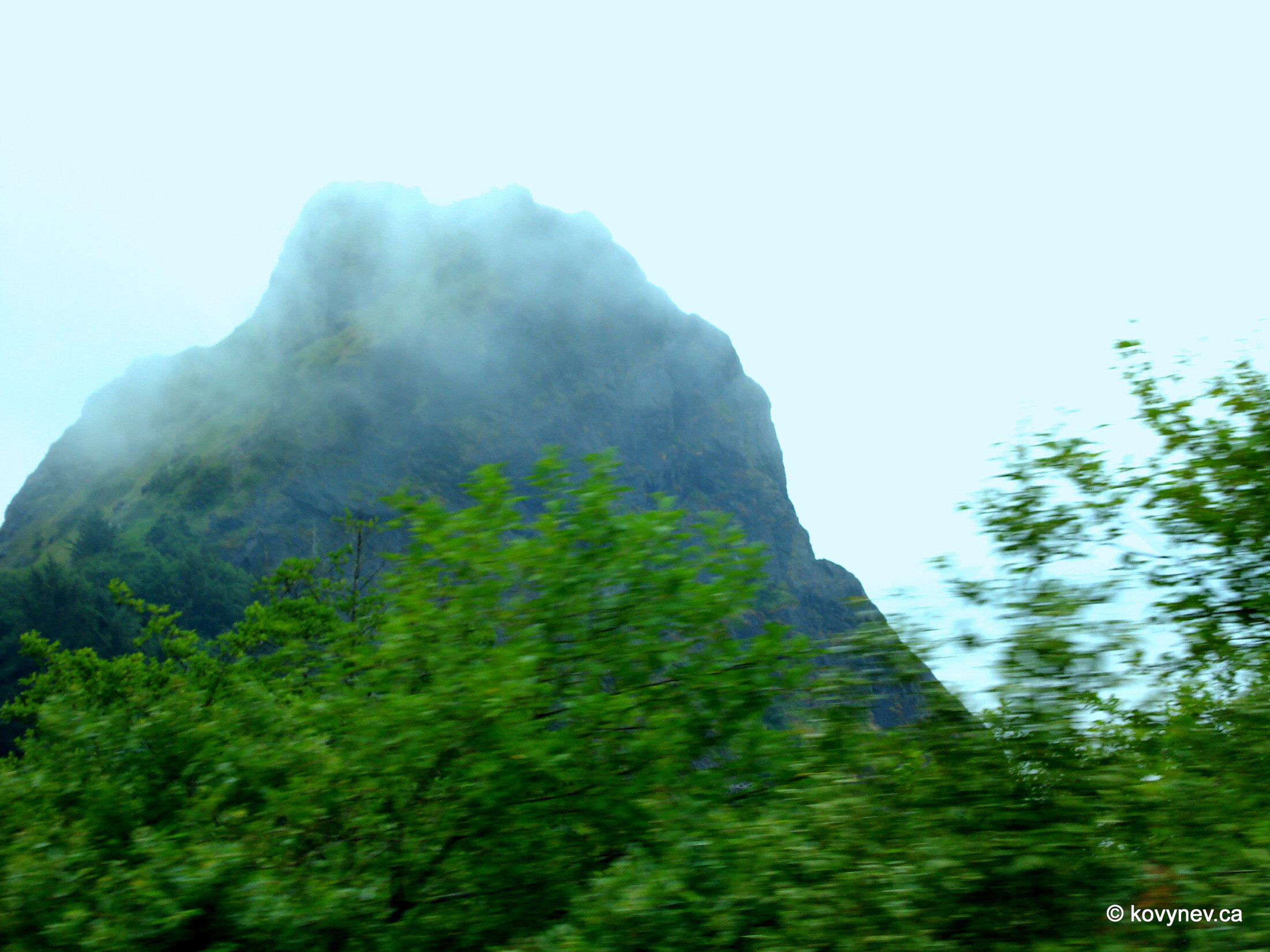
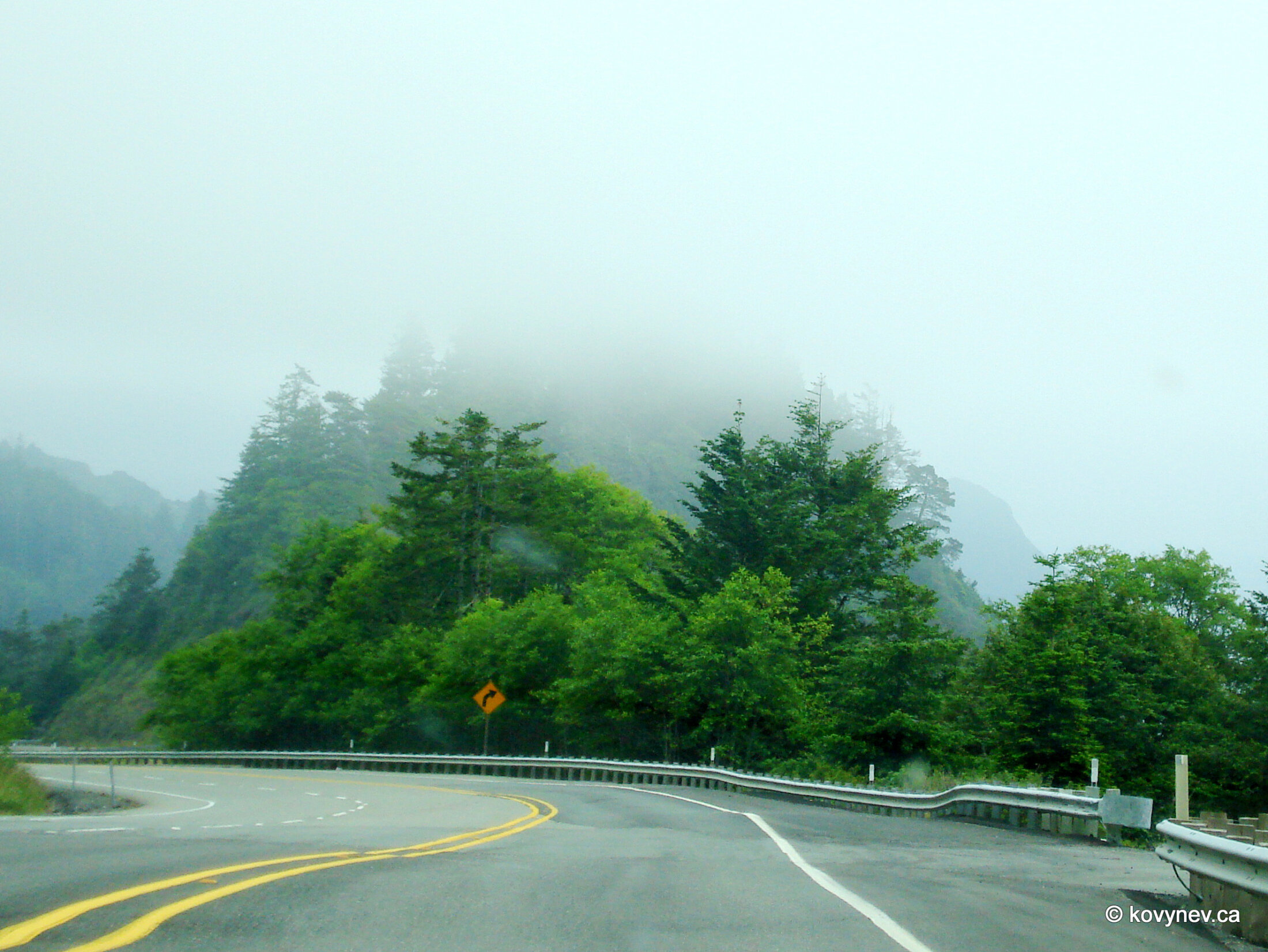
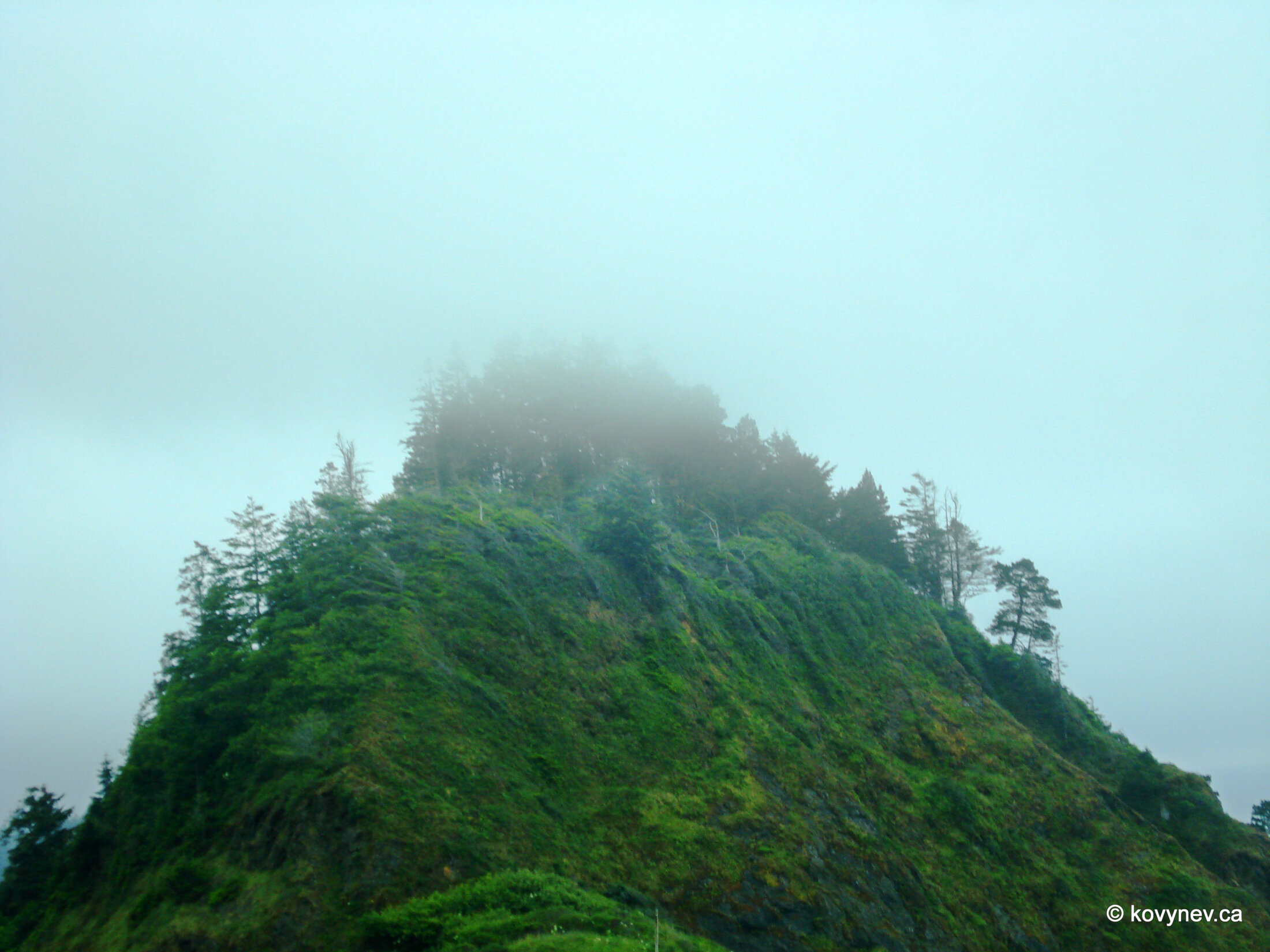
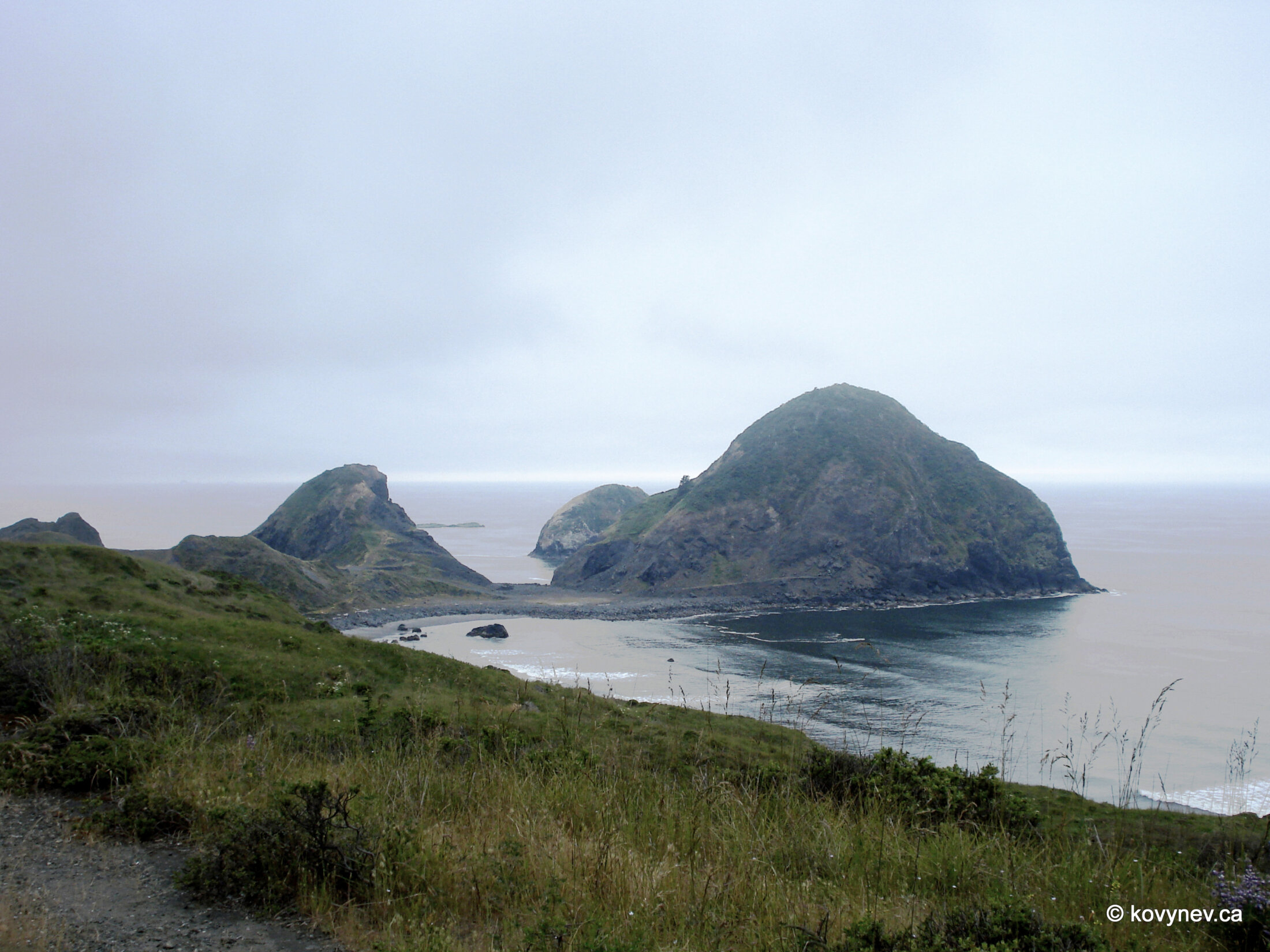
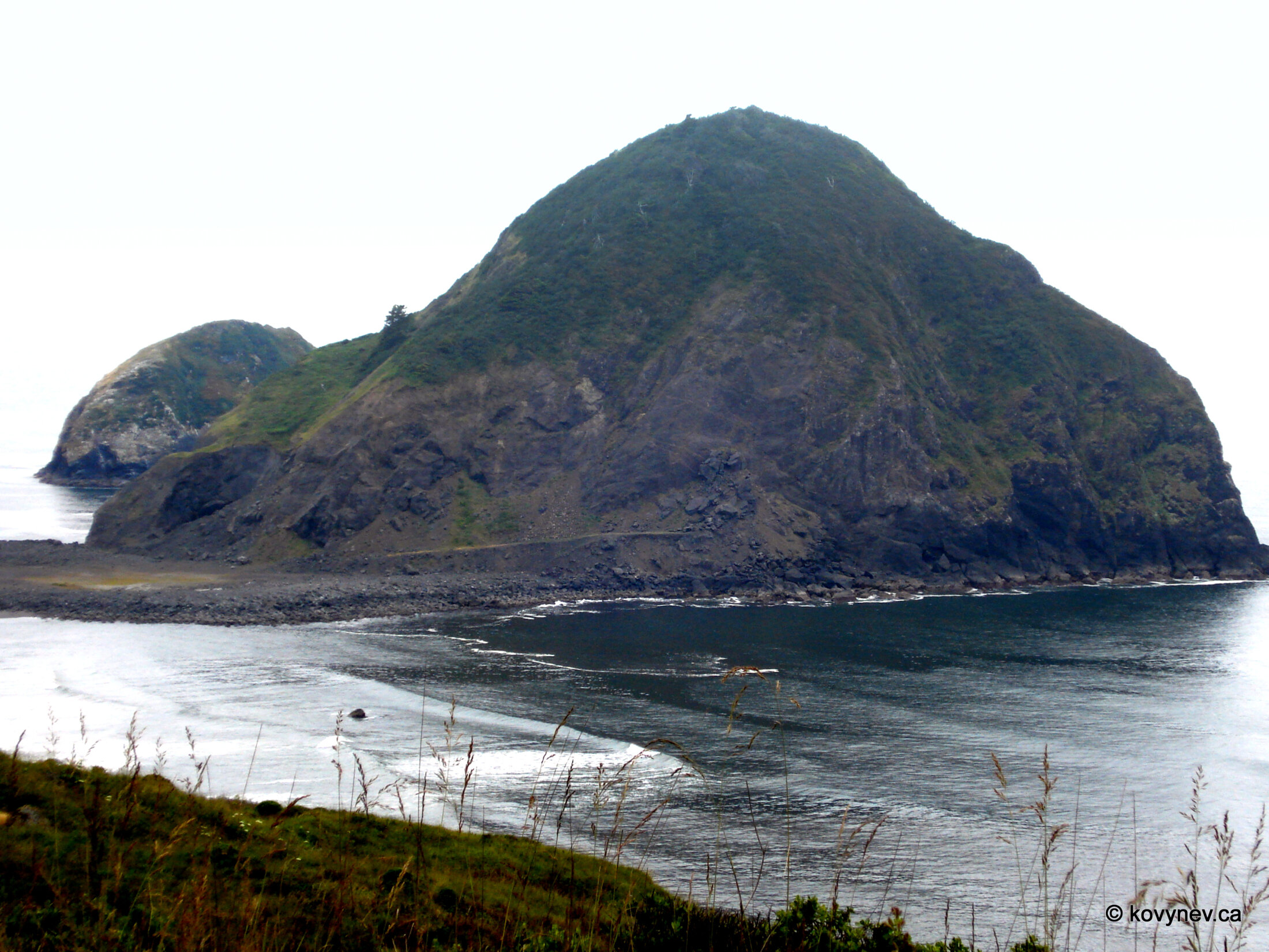
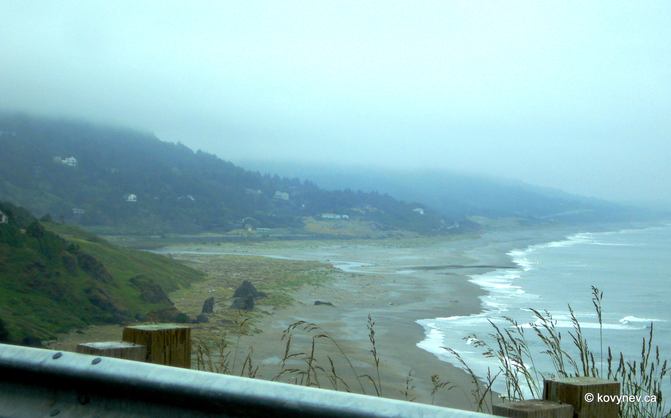
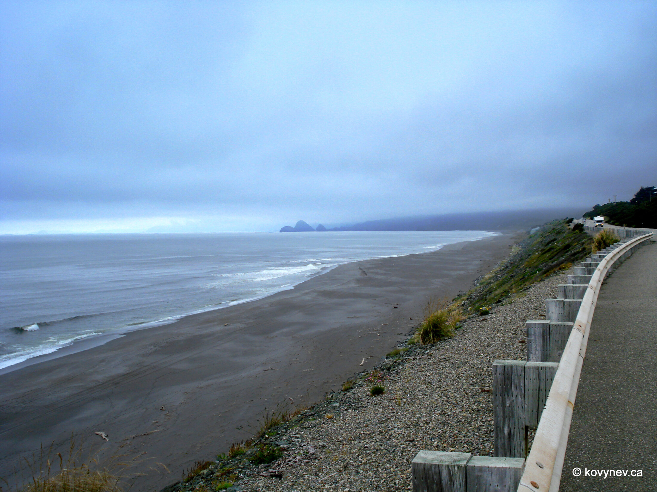
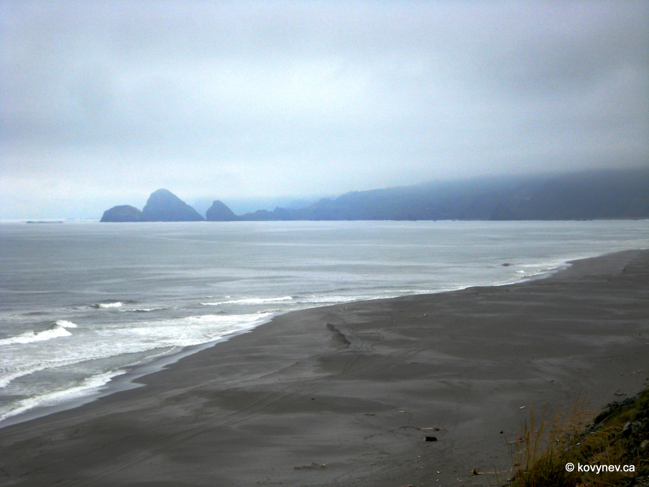
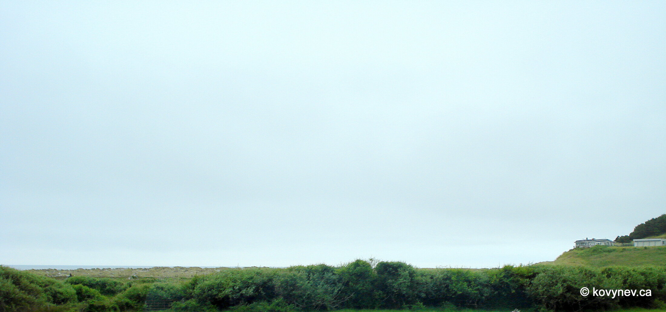
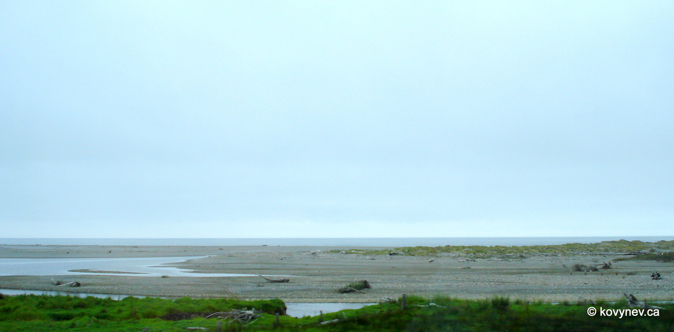
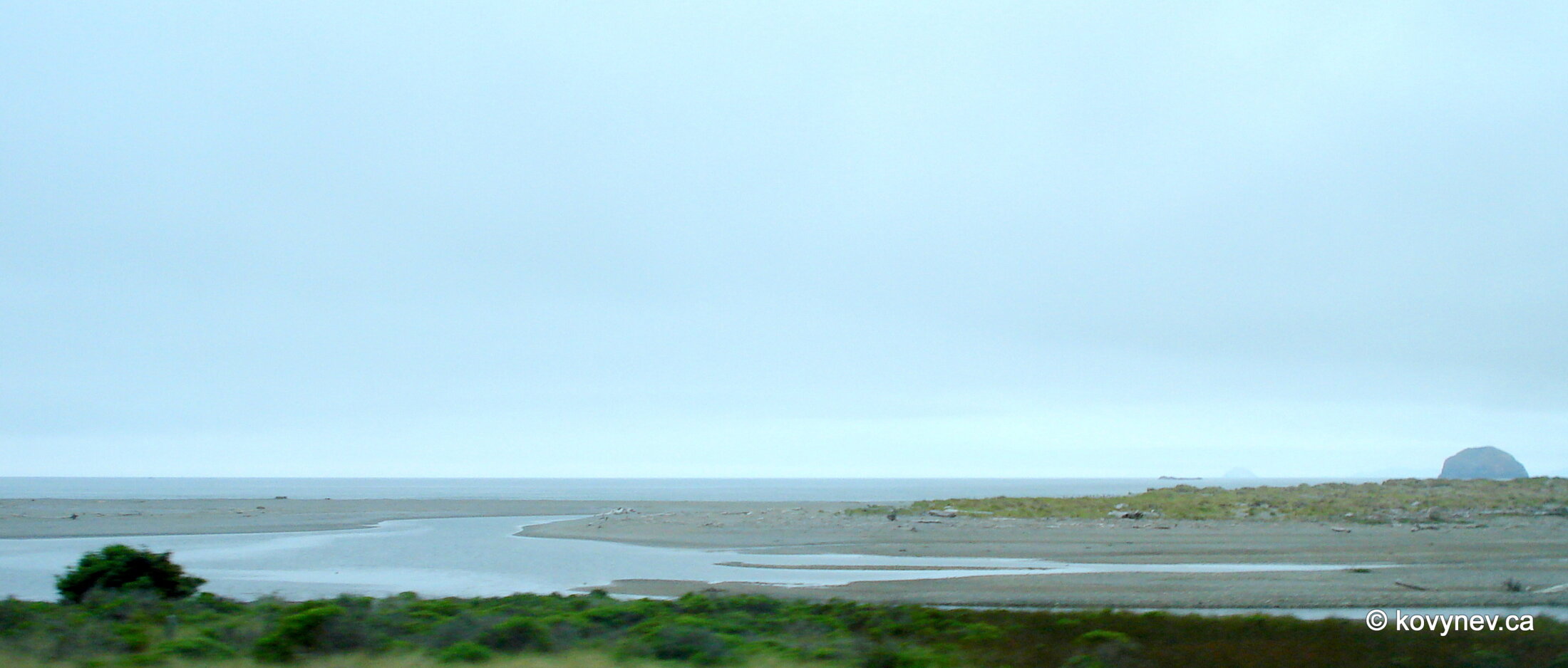
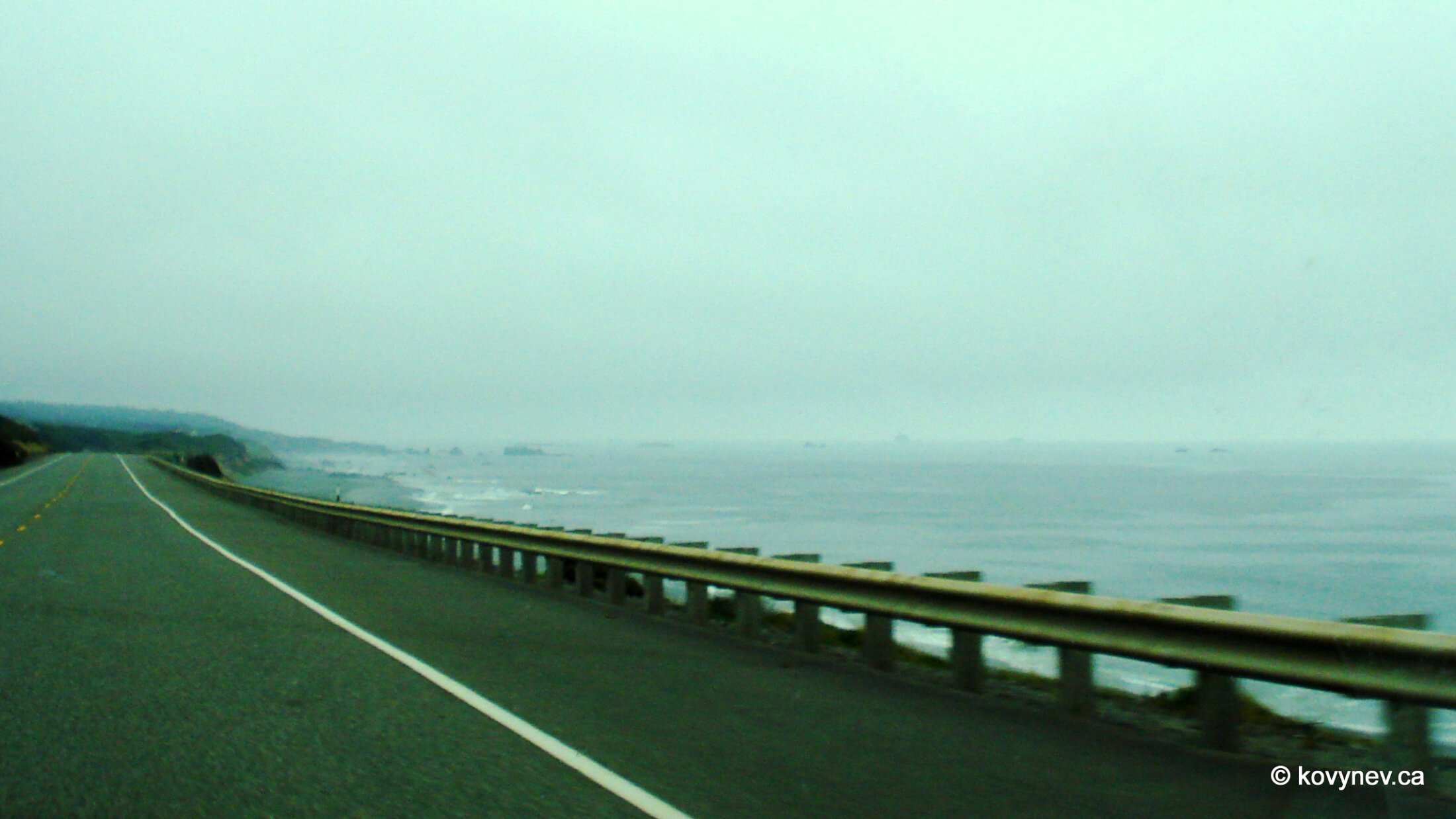
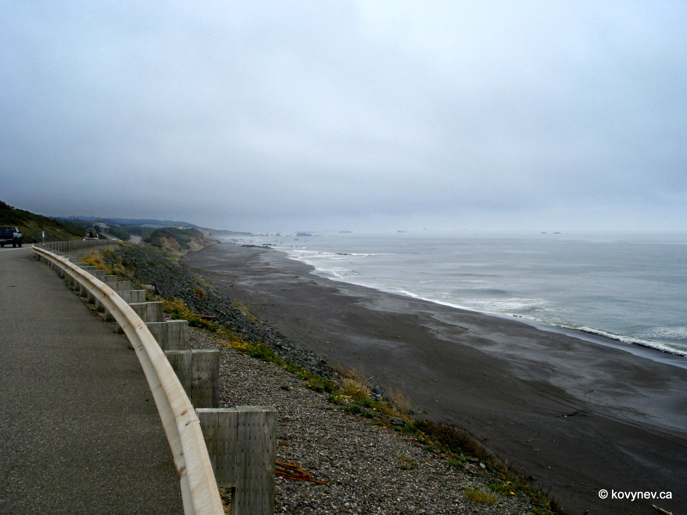
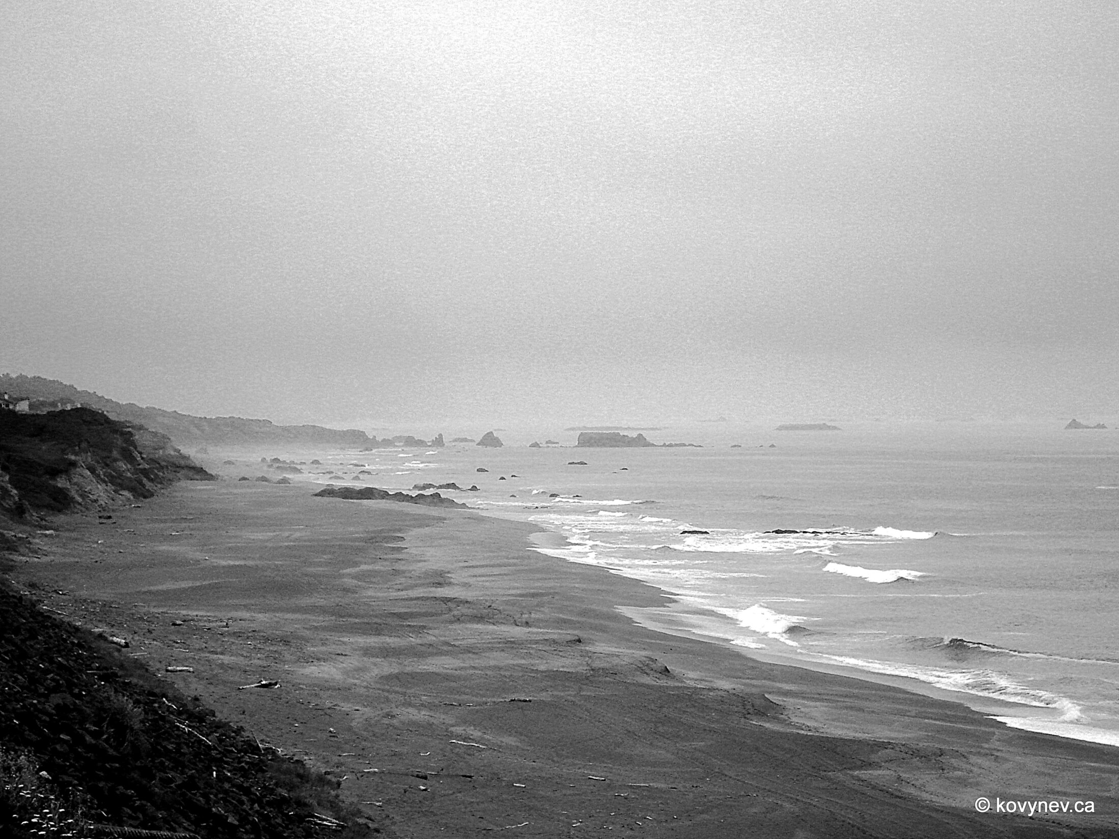
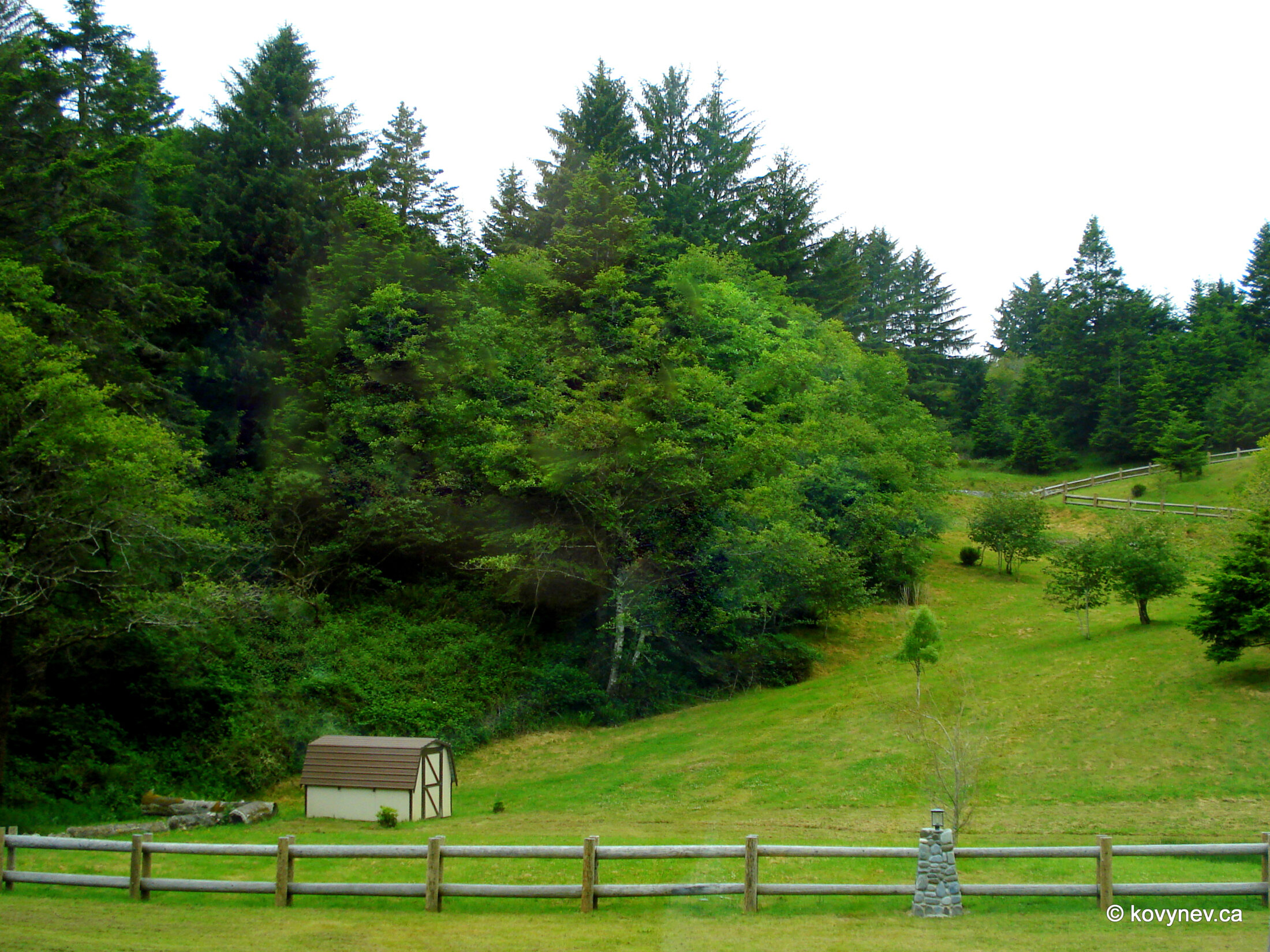
This is our first stop, the one before we reach the mountain. The viewing pullout is called Port Orford Lookout, because from here you can see the city. Those houses in a hollow between two elevations are Port Orford.Like I mentioned before, nothing much to say about Port Orford, nor about the lookout we are on. It′s just a highway pullout. So let′s just look at the pictures.Looking the other way, towards Humbug Mountain. The mountain itself is out of the frame. The rocks in the ocean are called Redfish Rocks.I have no idea, what these are called. Any botanists in the audience?Here′s a closeup for you.The last shot at Port Orford lookout. I told you, just a pullout. (And it′s not the mountain, in case you were wondering). This is Humbug Mountain, half-covered with fog, like most of the scenery we′ve seen on this trip. The funny name has a funny story behind it. First it was called Sugarloaf Mountain, which is very fitting, given the almost perfect conical shape of the peak. The name Humbug comes from "Tichenor′s Humbug". William Tichenor was the founder of Port Orford. Once he sent an exploring expedition to the north from the new settlement, but they lost their way and ended up south, where the mountain is. Upon their return, they reported everything about the mountain, as if it was in the north. When people realized that the mountain is located in the opposite direction, they started calling the expedition "Tichenor′s Humbug". ("Humbug" in the sense of "fraud, hoax"). And eventually they started calling the mountain itself so too.But I personally much more fascinated by the way the mountain was created. From this vantage point (another highway pullout, but this time on the other side of the mountain), it is very obvious that this big pile of rock has an almost perfect conical shape, and it′s quite different from the surrounding piles. Geologists tell us that that pile got created when a small protocontinent called Klamath slammed into what is now North America, and got stuck inside it. A piece of that microcontinent is now Humbug Mountain. Fascinating stuff...Looking around that highway pullout.Maybe these rocks are the remnants of Klamath too? They are pretty close to the mountain...Here we are on the road again, taking pictures of tree canopies from the car window. Another out-of-the-car-window shot. This is called Lookout Rock. Probably, because you get a very nice view from the top of the rock. The next quick stop is at the cluster of rocks called Sisters Rocks. There are 3 of them. Two are mature and dignified, firmly attached to the mainland. The third, and the smallest, one is out in the ocean, like a mischievous youngest sister, always trying to sneak away. She is hiding behind this big sister, who is the oldest and very protective of her.Just 5 more minutes of driving brings us to Ophir, our last stop on this stretch of the trip. It′s not a city, or a town, just an area with a few houses, but it has this wonderful pristine beach, never spoiled by any development (except for the road, of course).The length of the beach is more than 5 mi (8.5 km) and, as you can see, not a single human being on it. (Just for the record - this picture was taken at 2 pm in June. Well, it was a Wednesday, to be fair.)The three dark shapes over there are Sisters Rocks.Looking towards the south end of Ophir Beach.Those rocks over there are nameless, even though they look significant. Too many rocks on this coast, too few names.And the final picture in this gallery - a glimpse of Ophir community while driving through it. As you can see - not a very heavily populated place. My ideal retirement location. Press ESC to exit