Now we are on the final stretch of our journey. From our last stop at Ophir Beach, it’s 45 mi, or 55 min drive to the California border. The whole journey, from the Washington border, was more than 500 km, and, technically, on a mad rush, without stopping, you could make it in just 7 hrs. But don’t you agree that driving along this route without stopping would not the best idea?
NIKONCOOLPIX S9300 22mm
/ 5.7
/ 10/1000s
/ ISO 125
Created: 125
Uploaded: 125
Likes: 125
Views: 125
Comments: 125
-1
-1
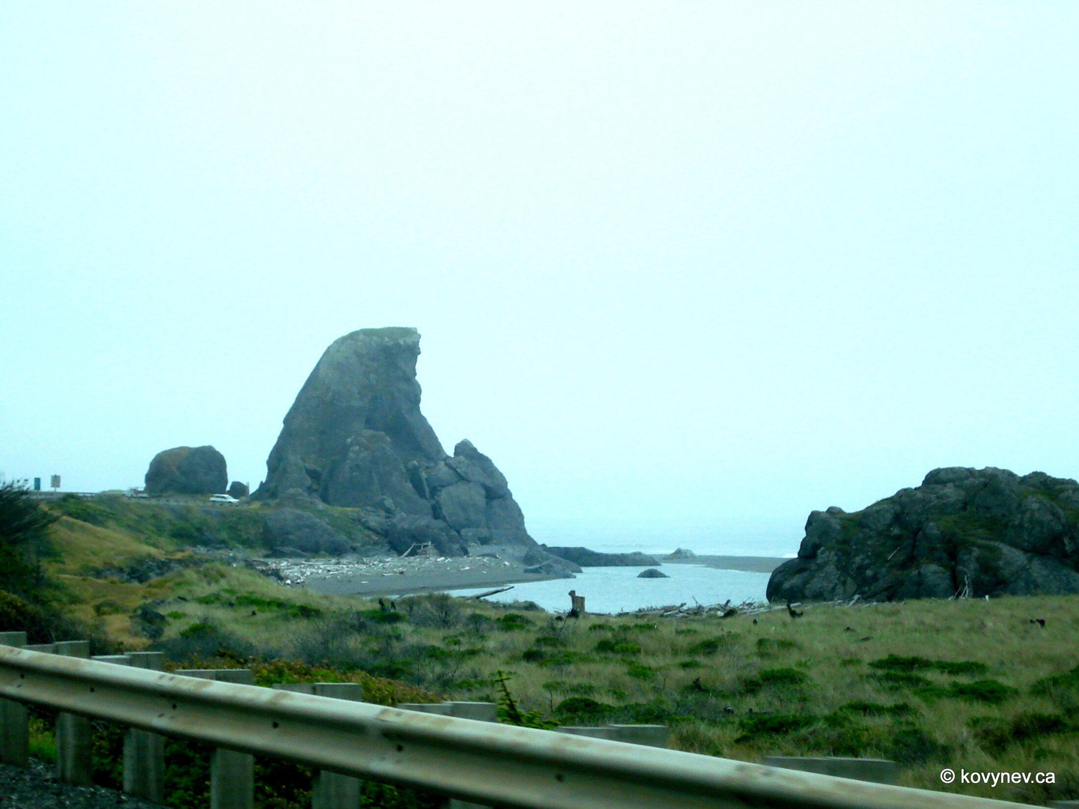
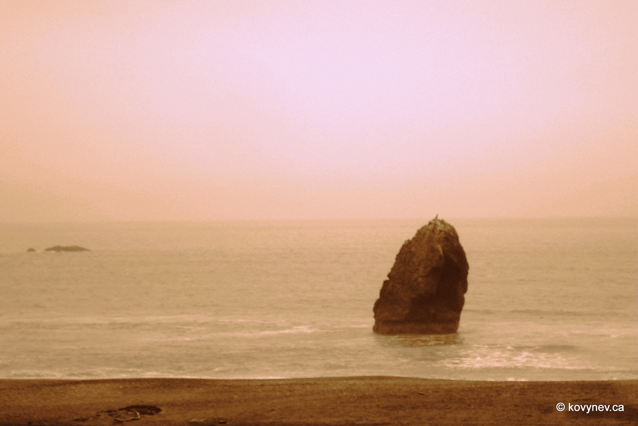
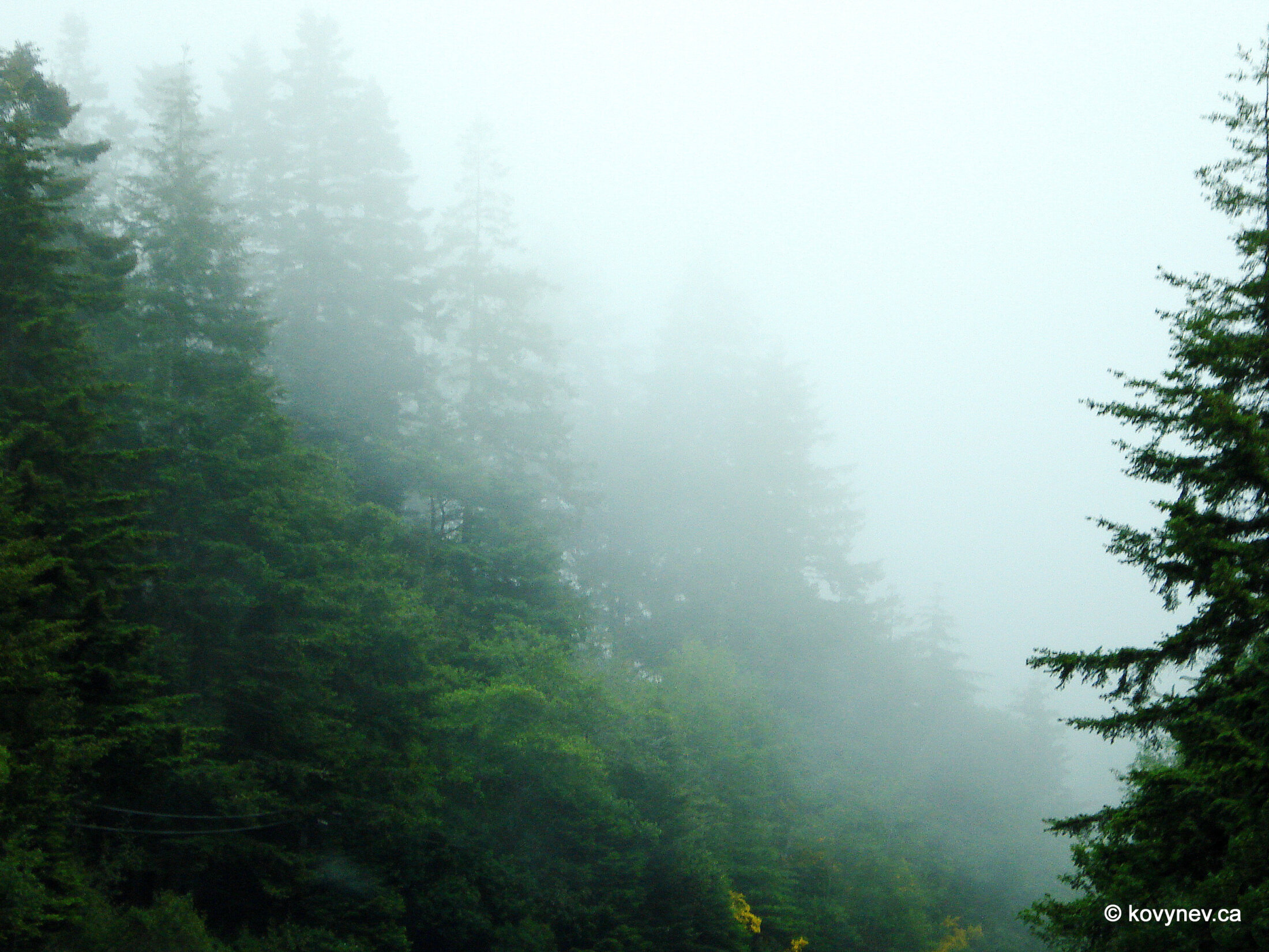
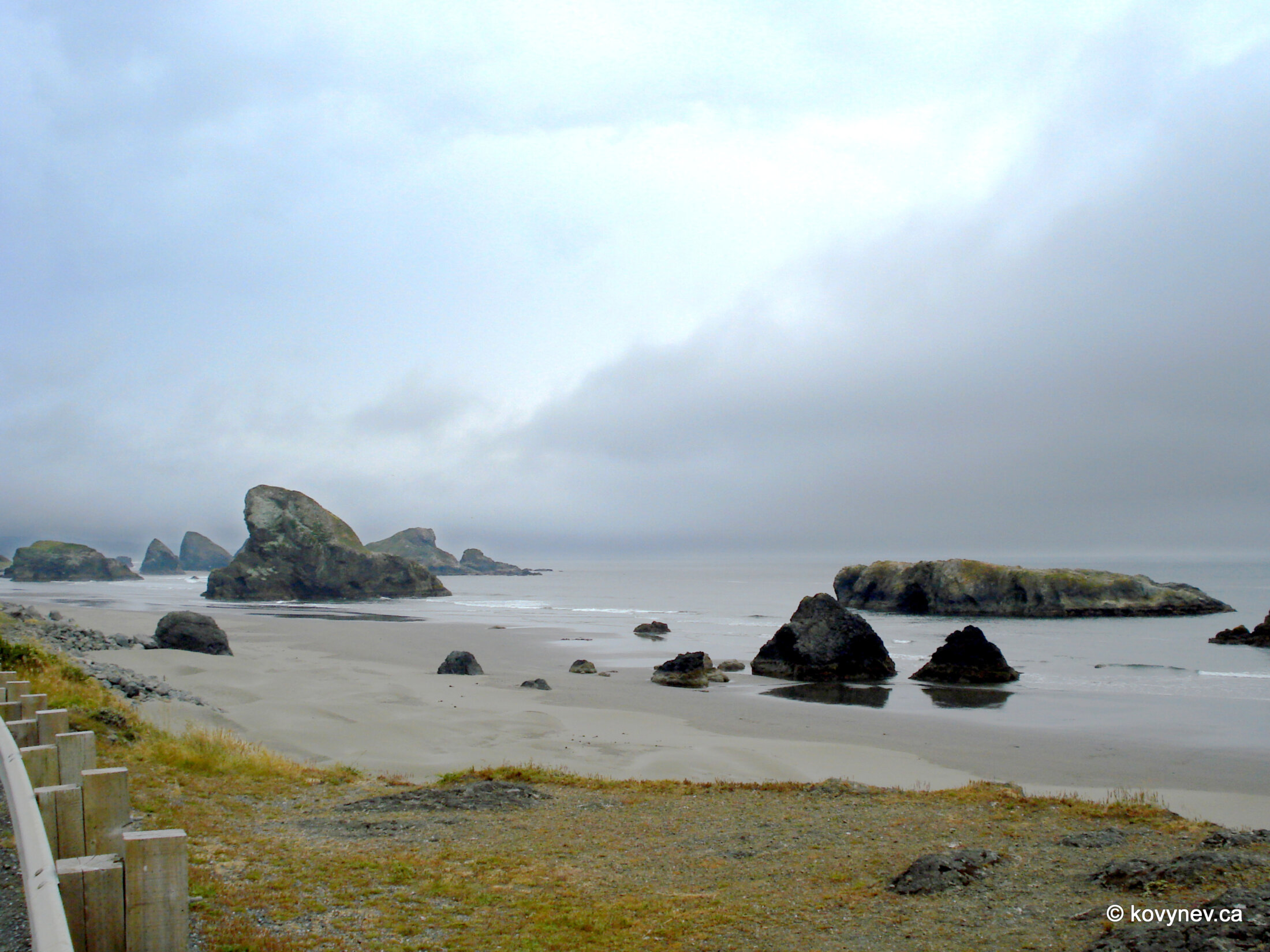
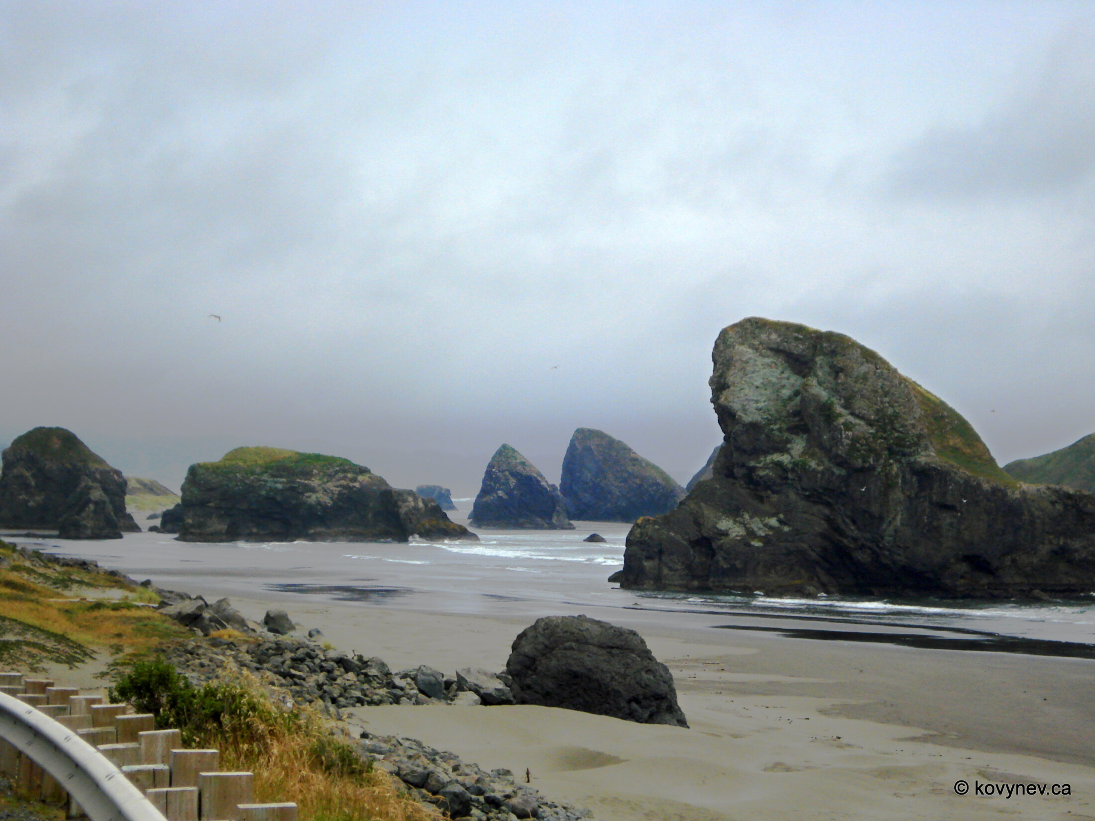
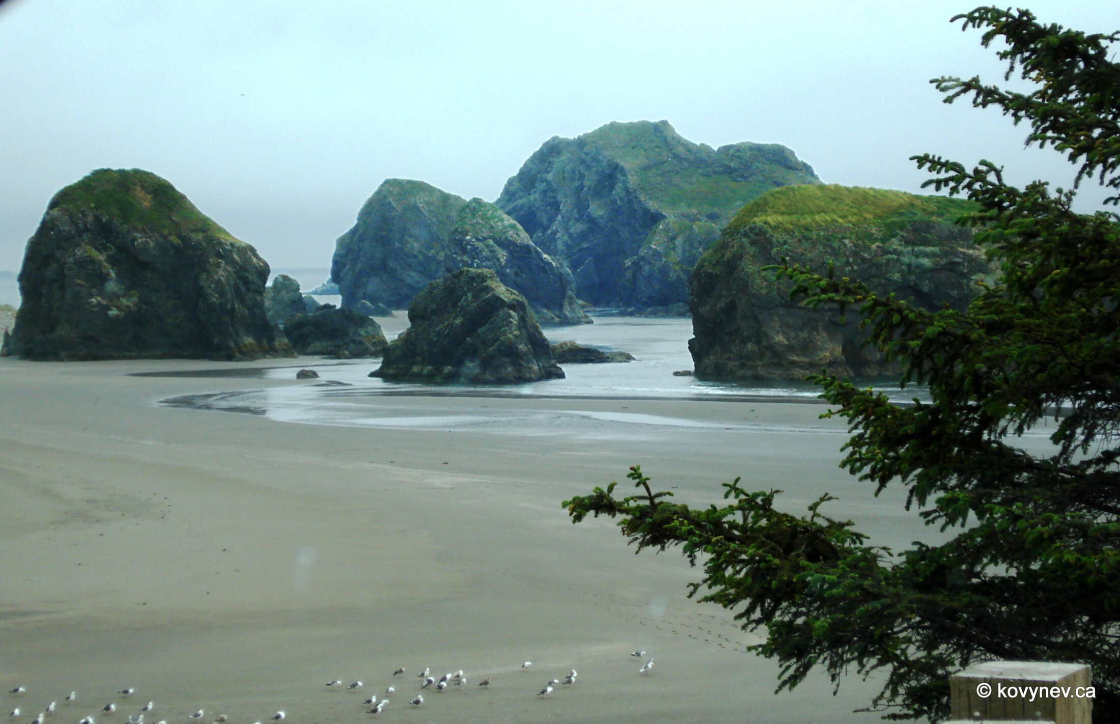
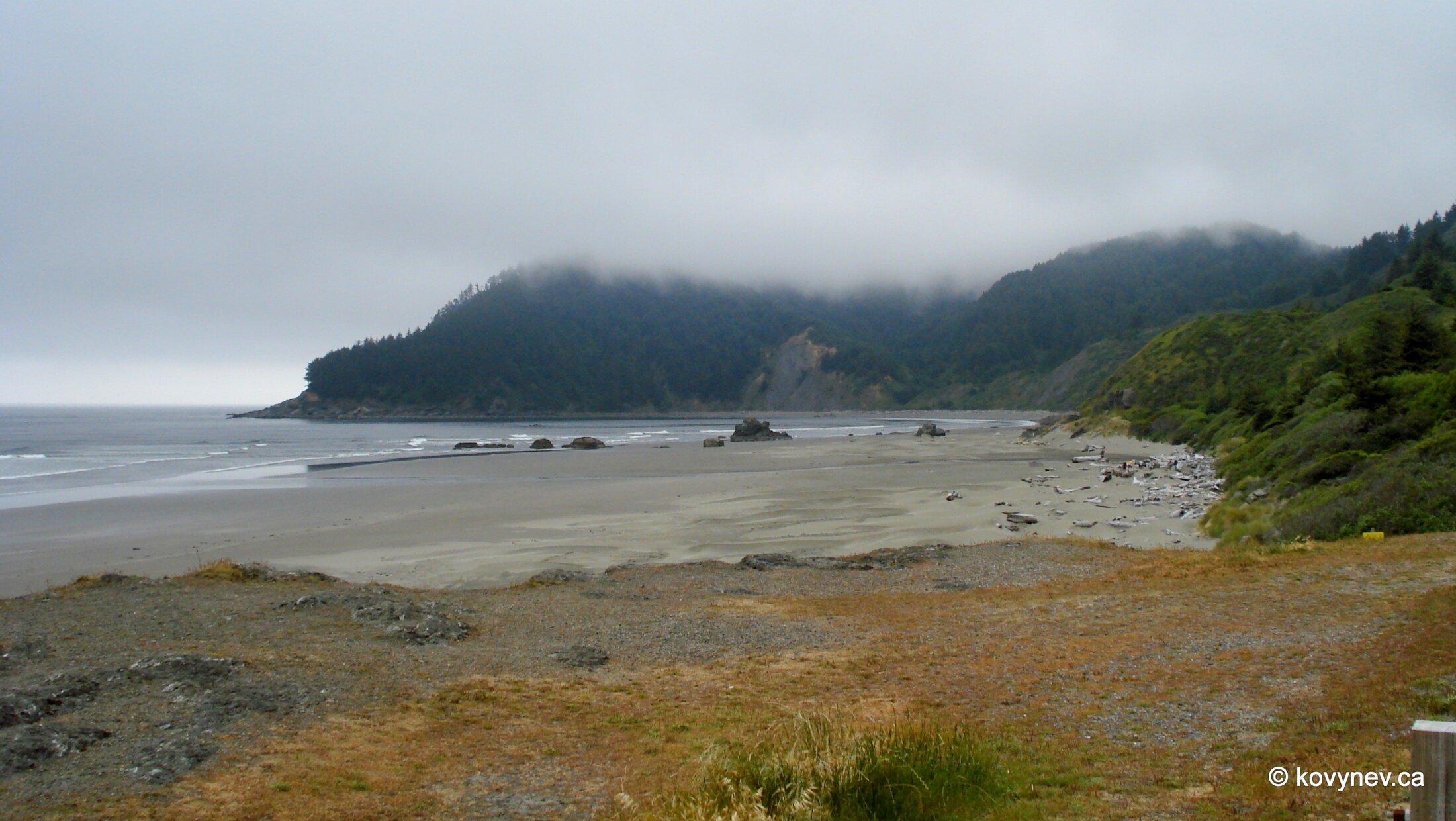
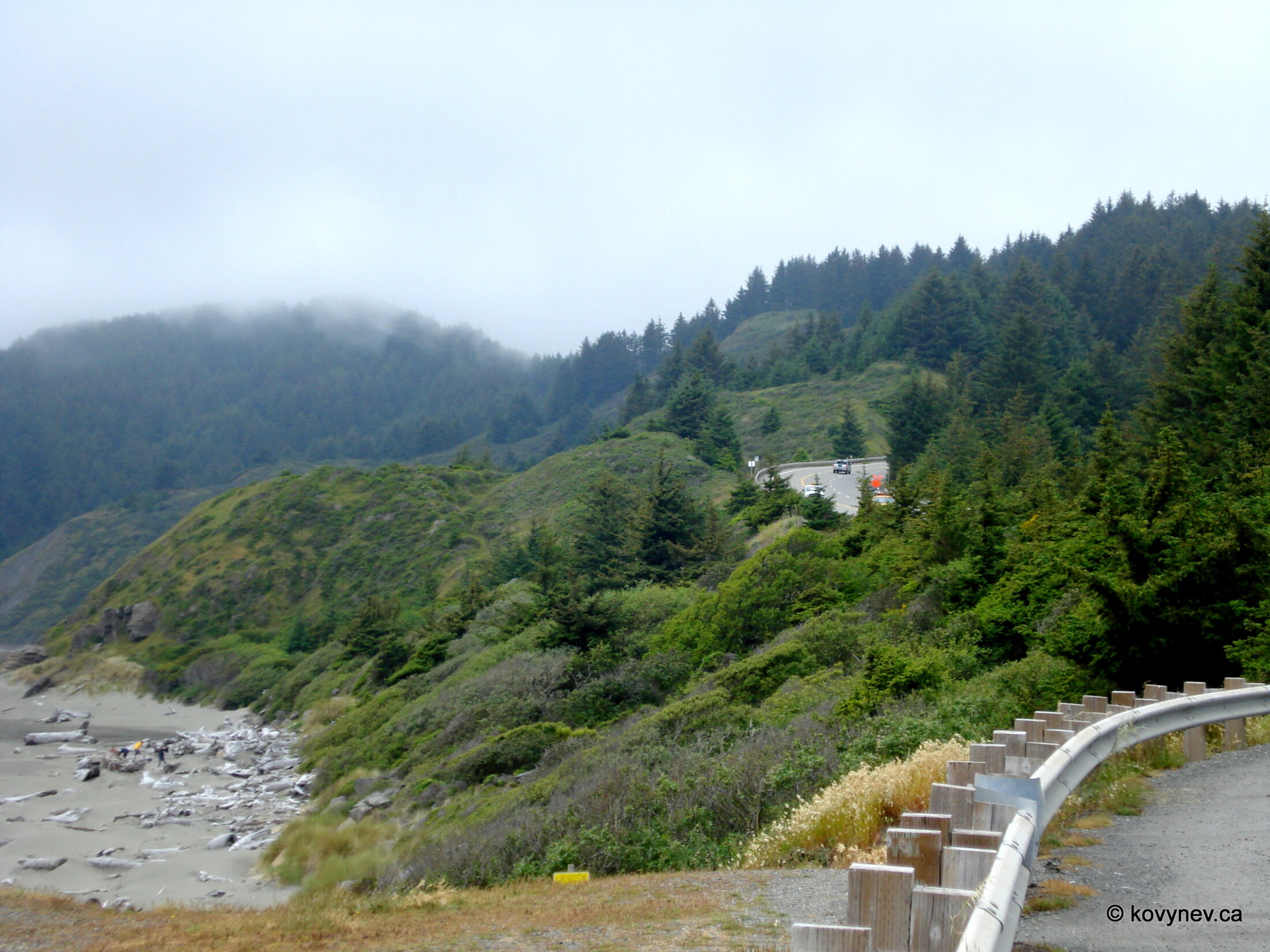
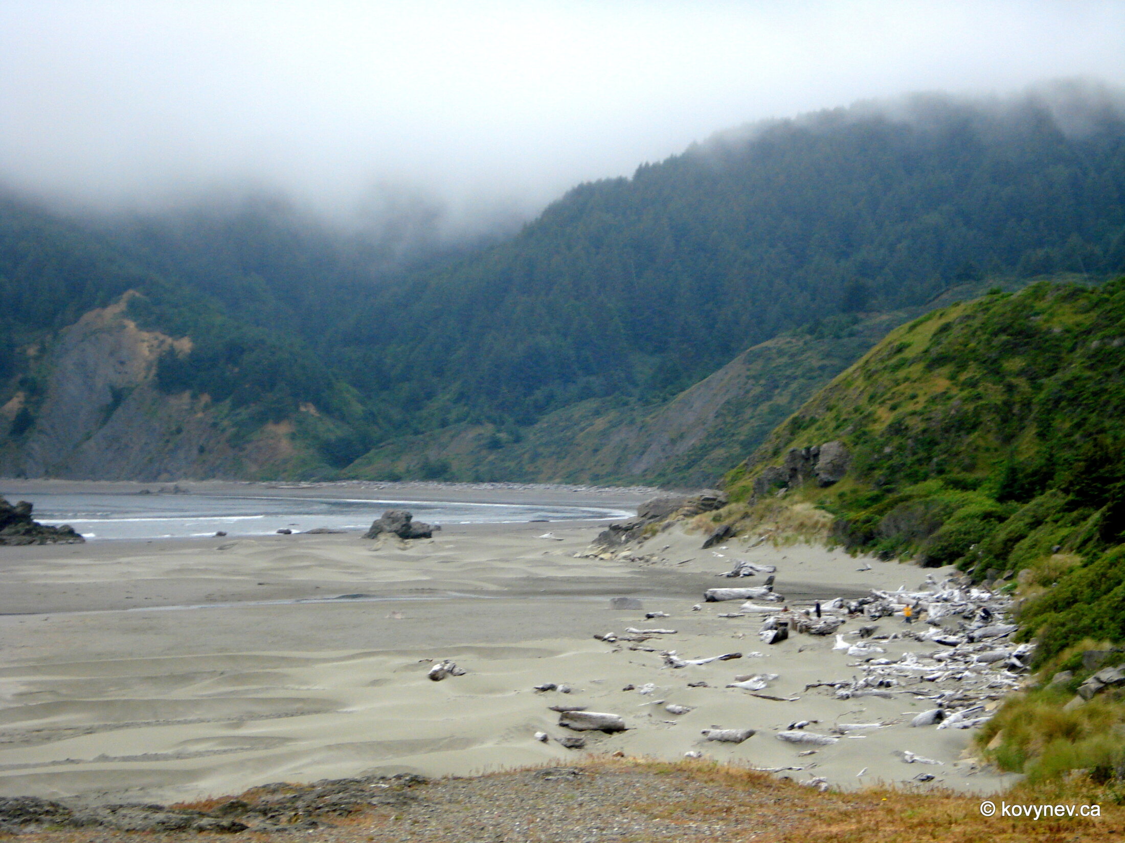
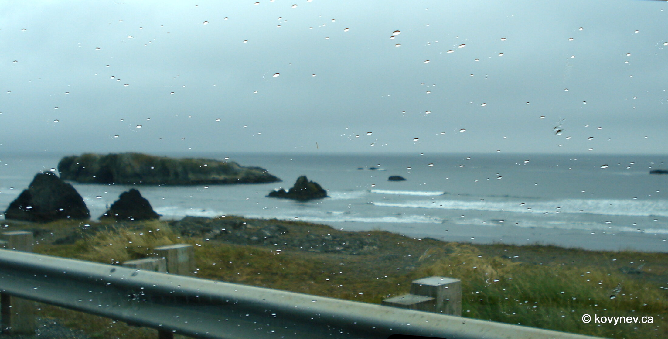
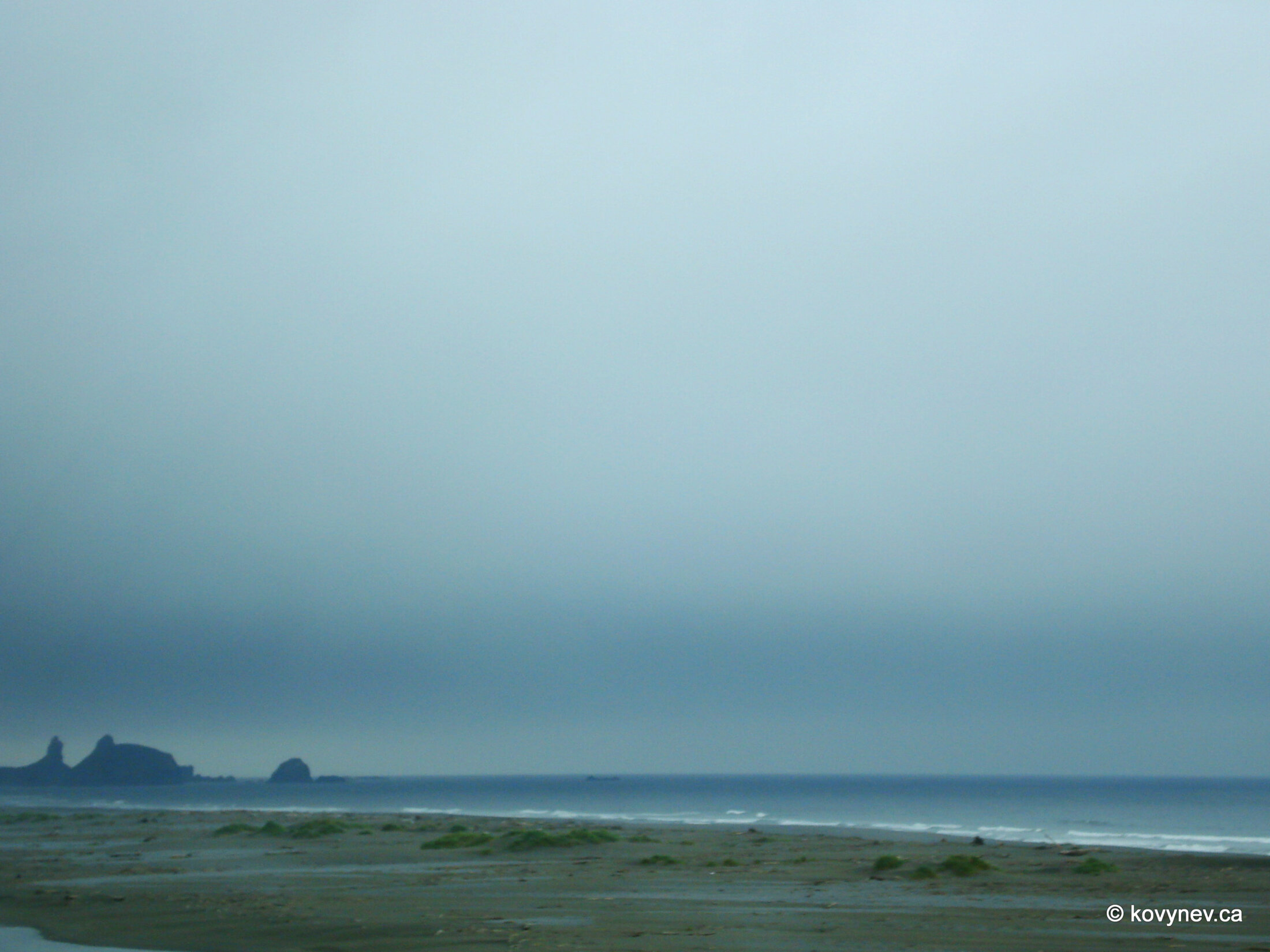
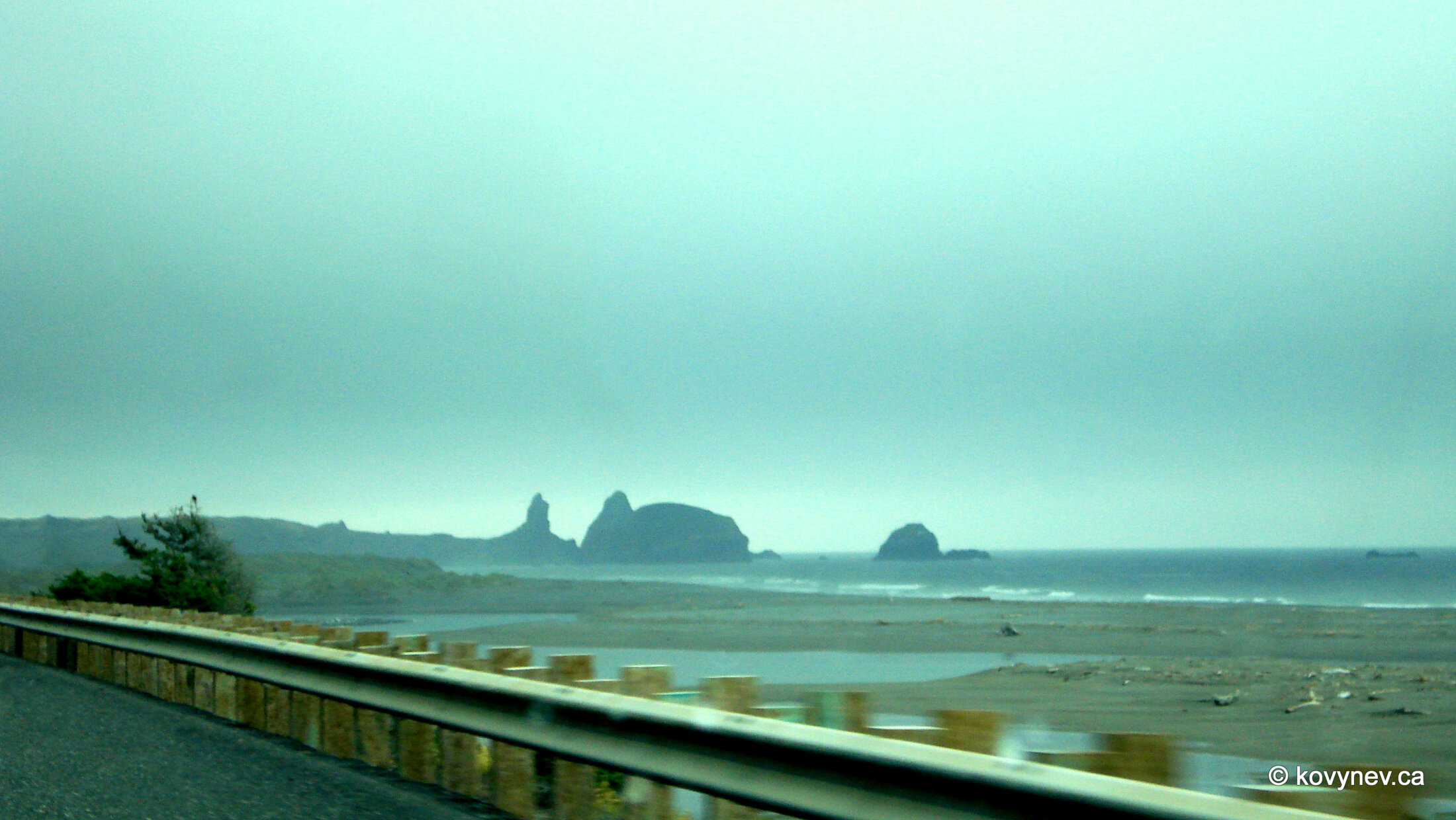
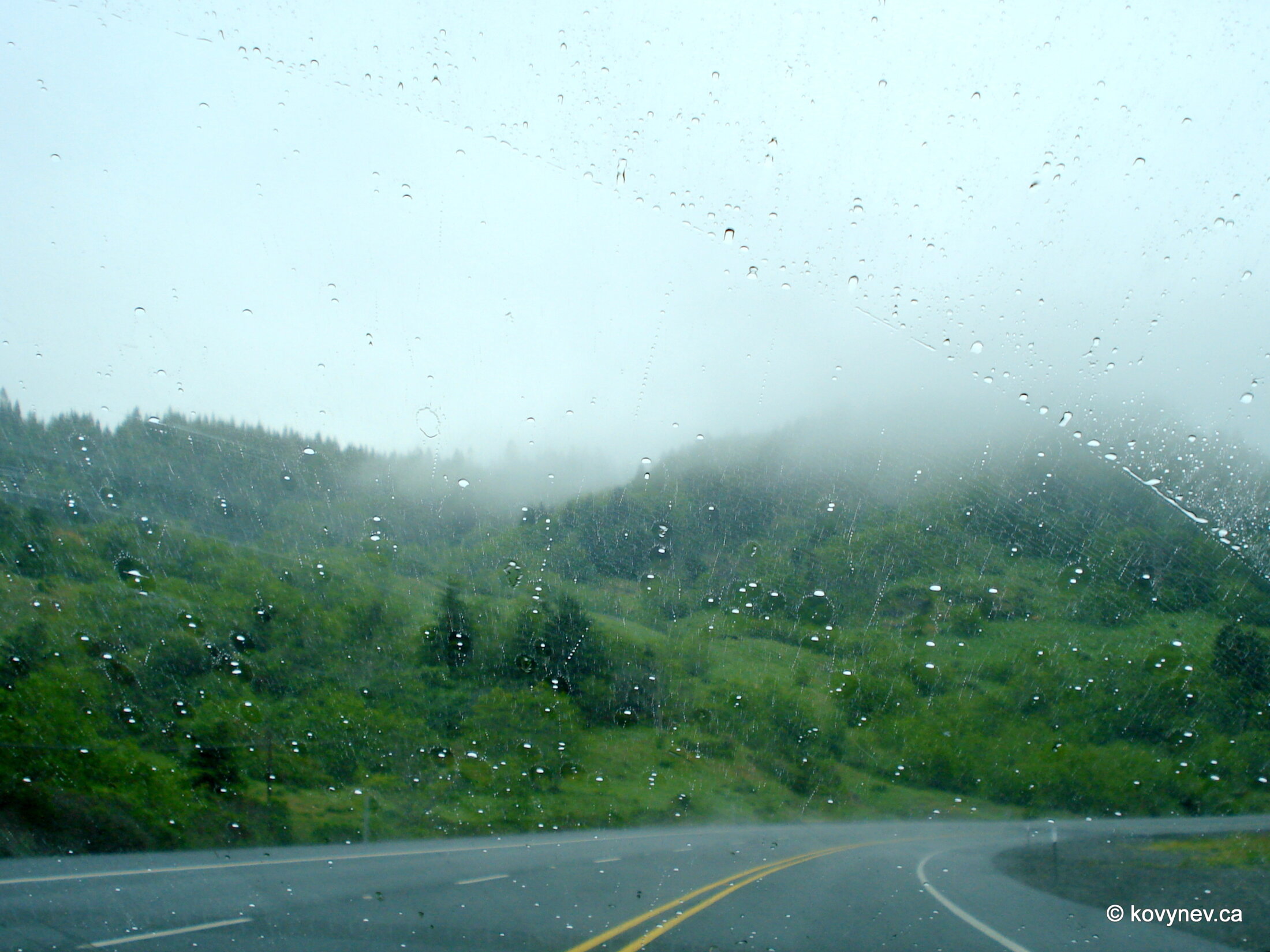
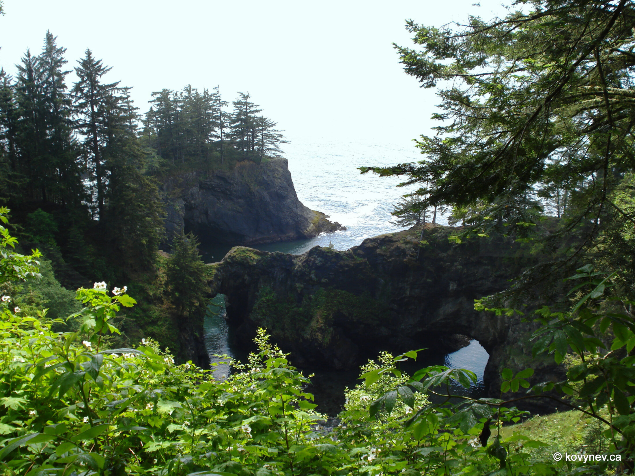
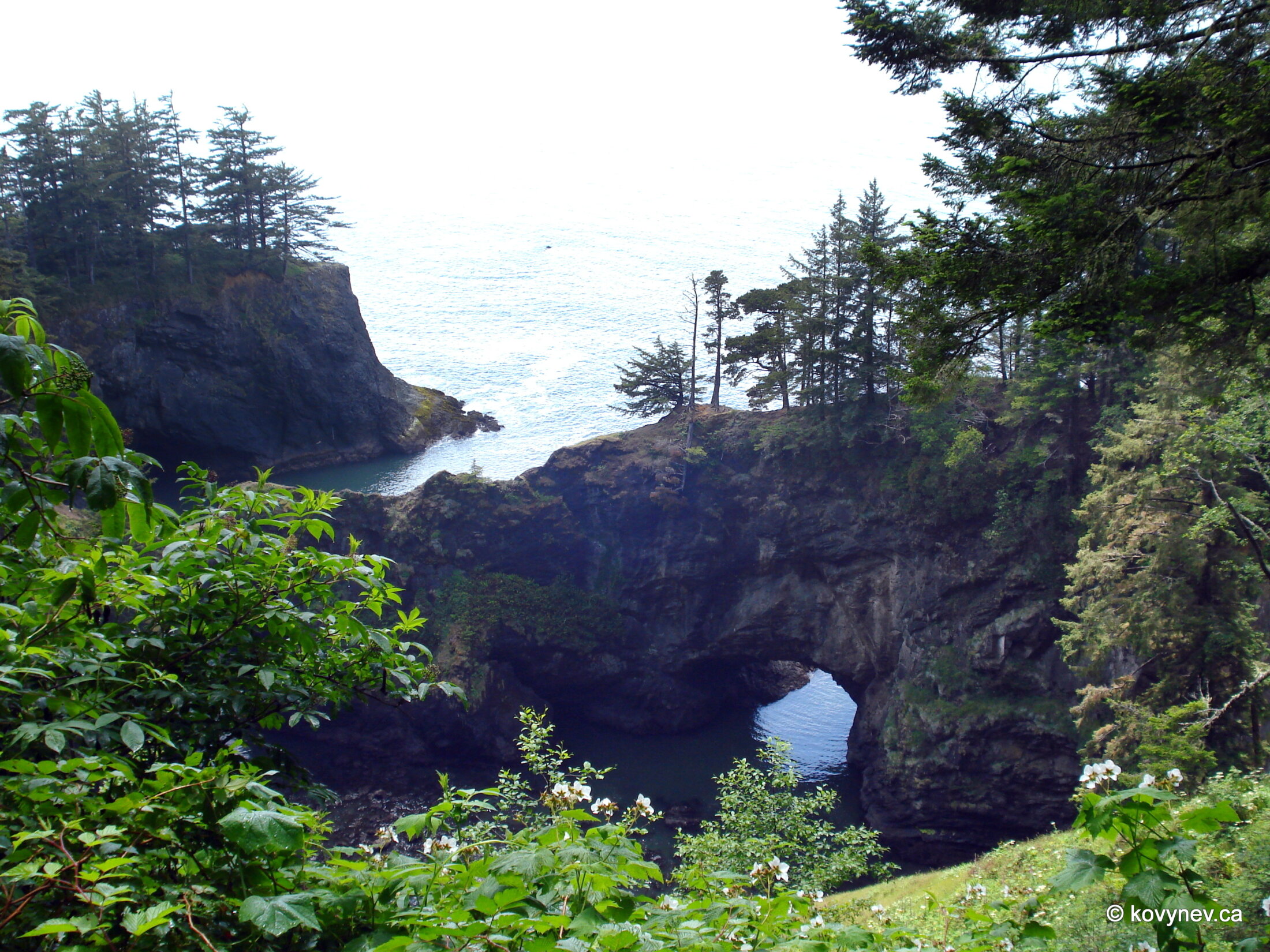
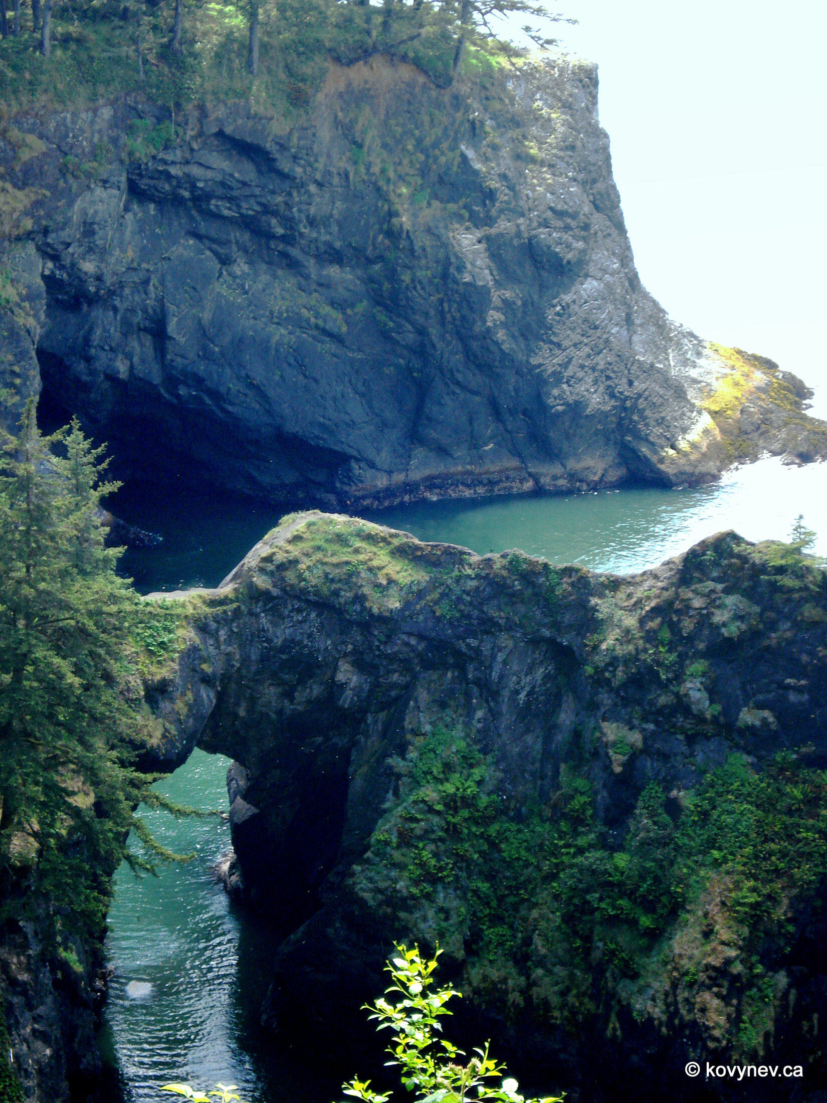
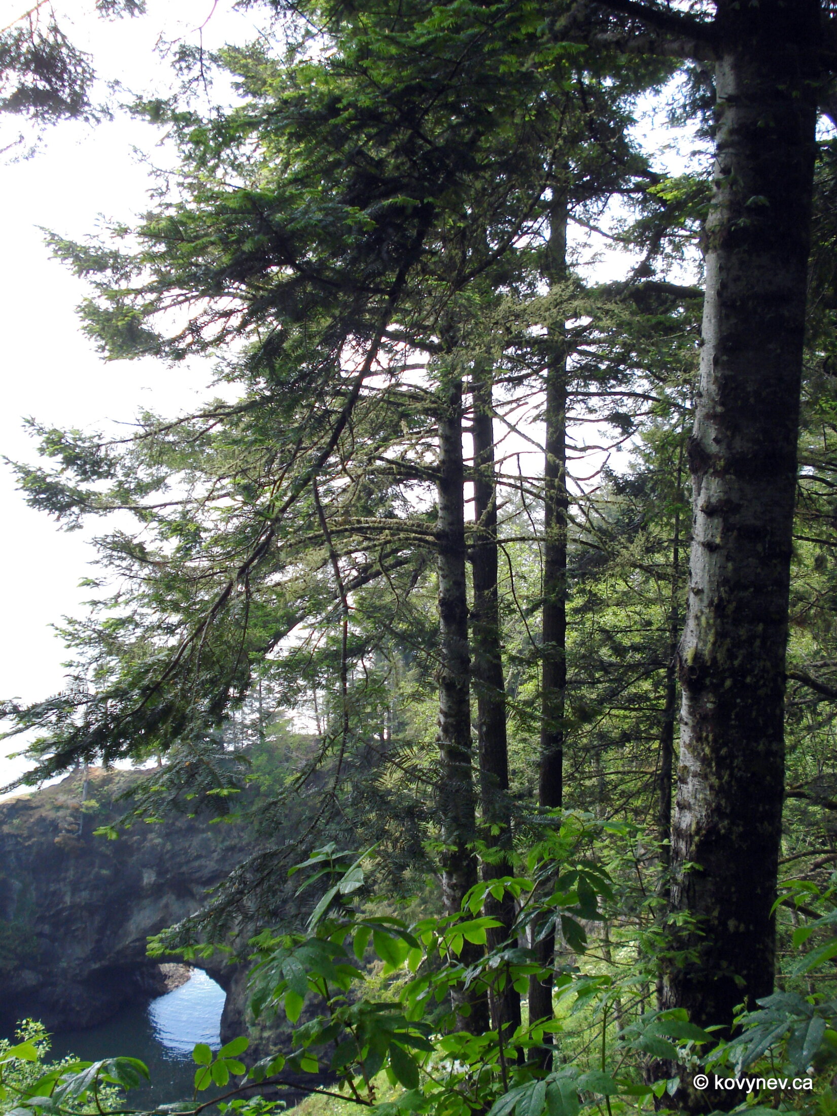
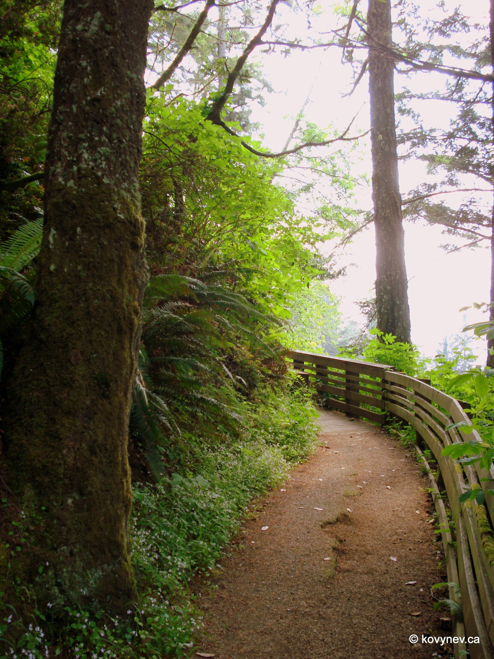
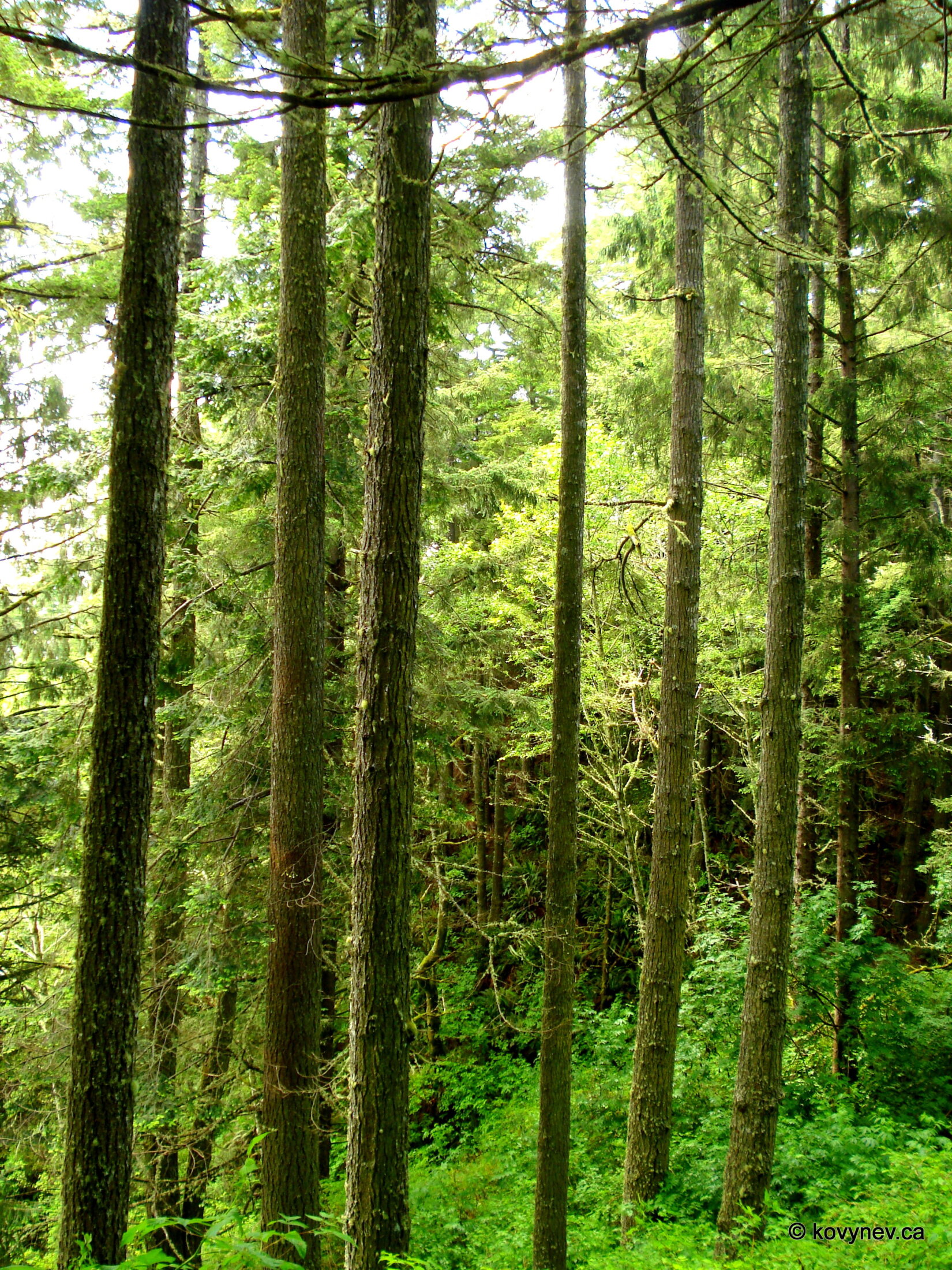
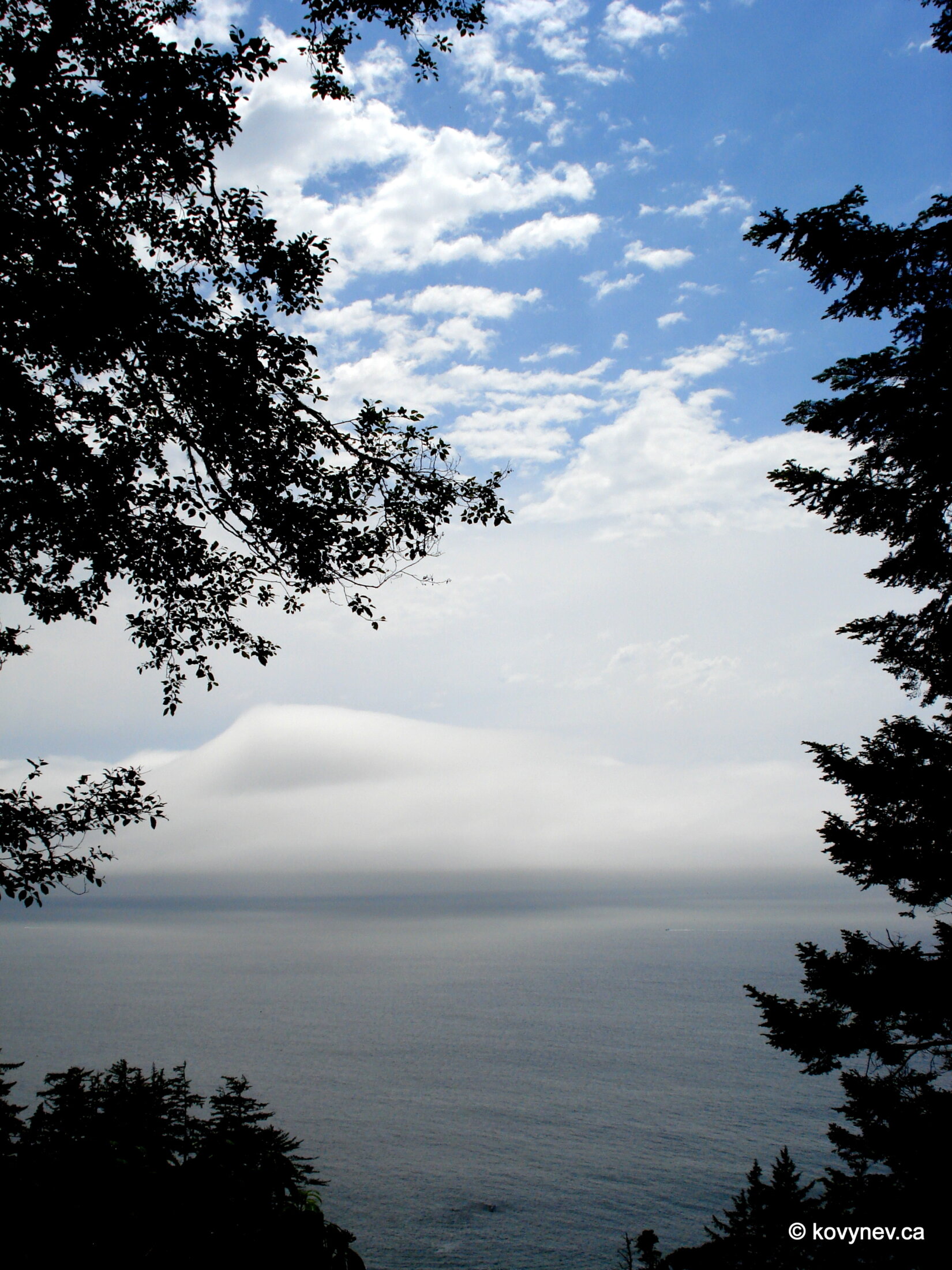
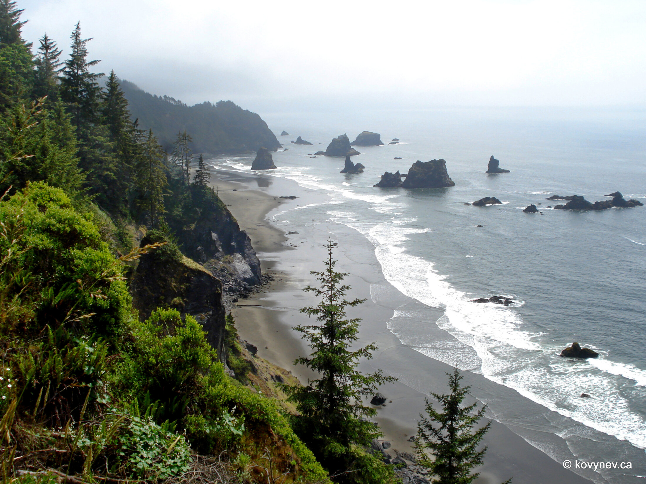
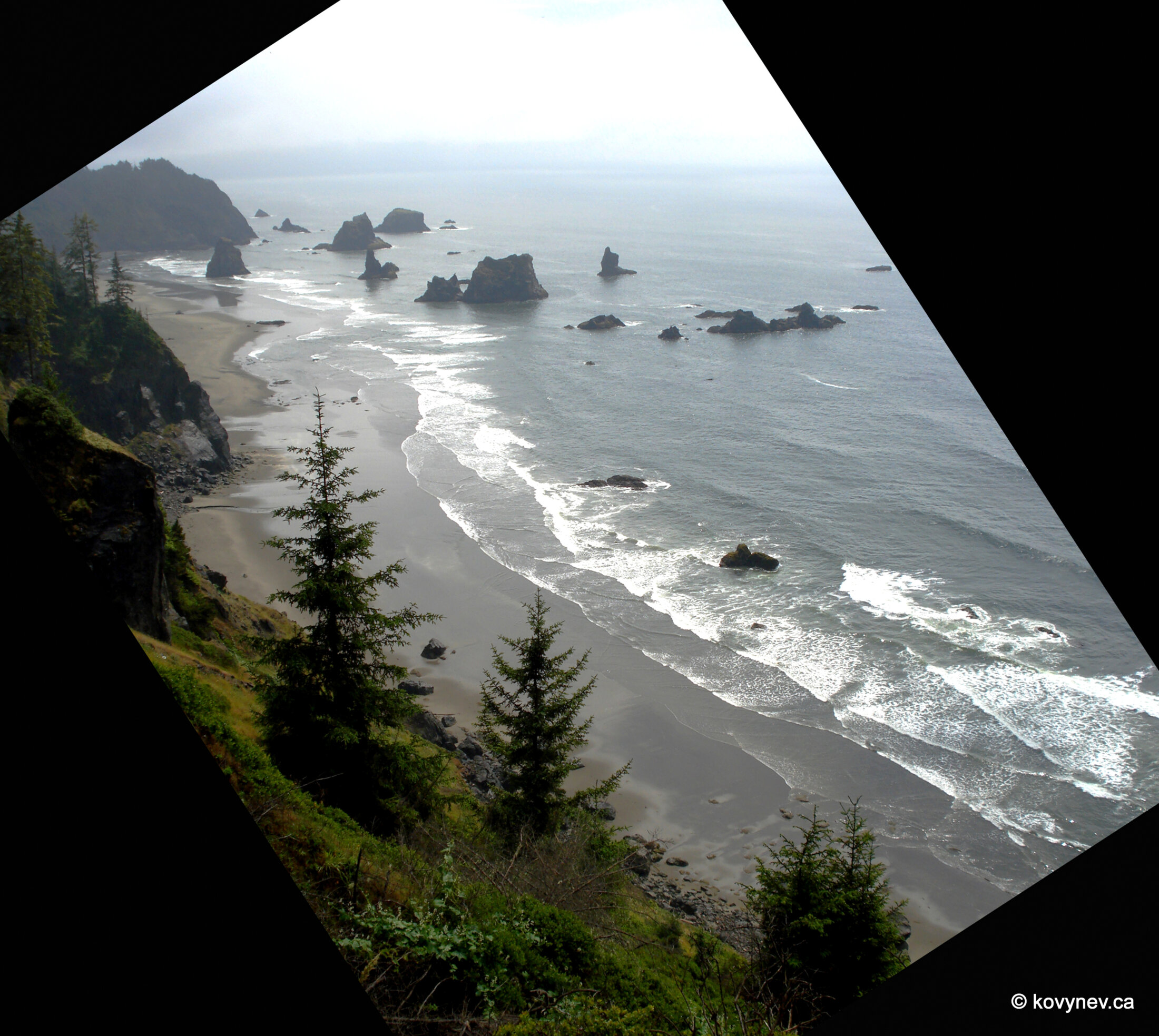
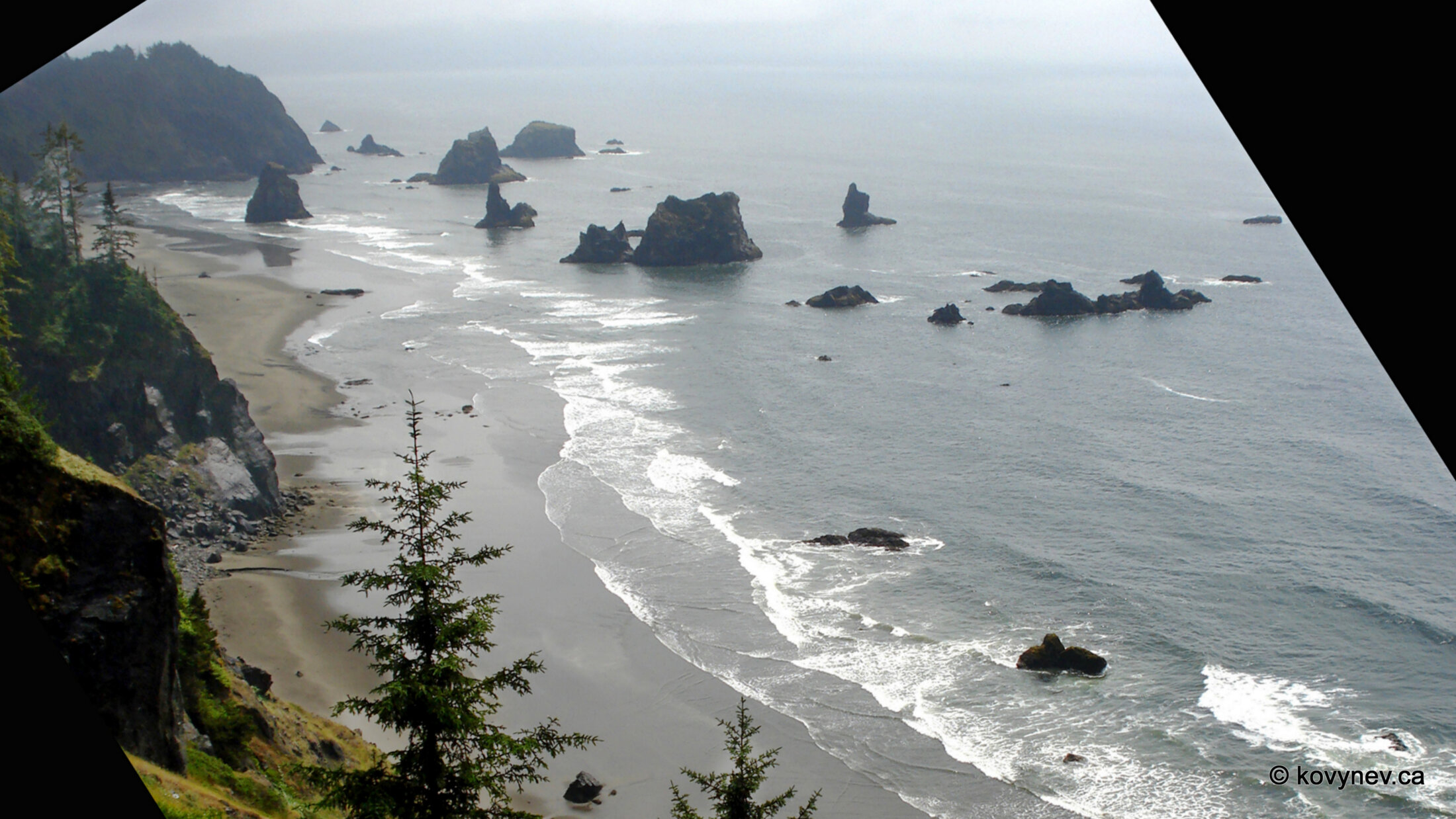
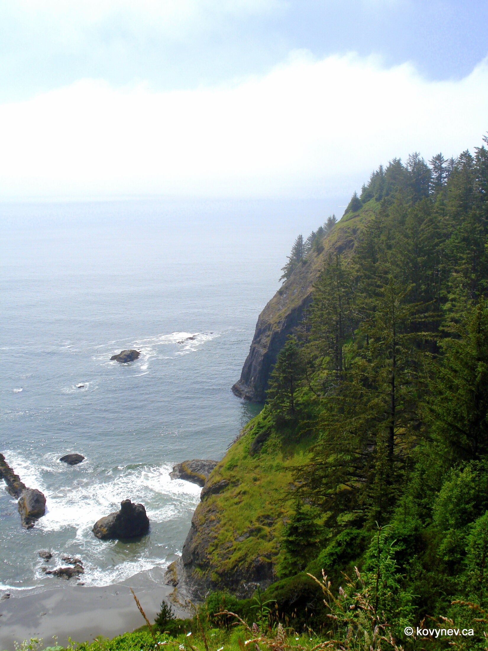
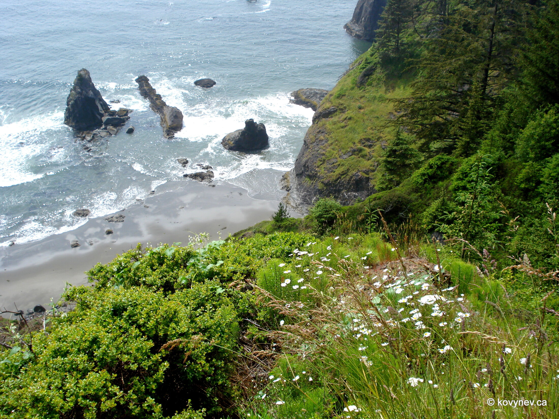
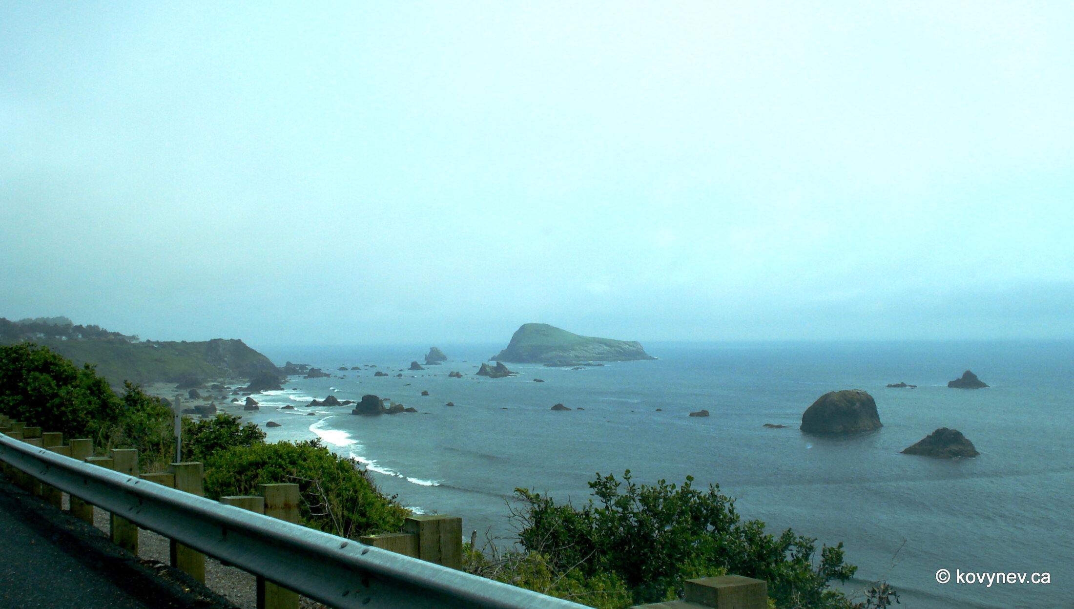
Our first picture in this gallery is of a bridge, which connects two banks of Rogue River. It′s called (surprise!) Rogue River Bridge. It′s one of Conde McCullough′s bridges, which is obvious by those sophisticated Art Deco pylons at the end of the bridge. [Try to ignore the sign of the ubiquitous Motel 6 chain. I was thinking of photoshopping it out, but then I decided to leave this vital piece of the American authenticity].The previous picture was taken on the verge of the city of Gold Beach. Here we are on the other side, having just passed the city, at the actual Gold Beach. This is a local landmark, Kissing Rock.A little solitary rock in the ocean, on Gold Beach, just a few meters away from Kissing Rock. Misty woods along the road.Our first stop on this stretch is at Meyers Creek Beach. Those rocks scattered in the water, but still very close to the surf line so you are able to walk around them at the low tide, make it probably one of the most scenic spots on the Oregon Coast.Still on Meyers Creek Beach, but looking in the other direction from the rocks, at the beach itself.The last shot of Meyers Creek Beach, through the car windshield.Pistol River Beach, just 2 mi from Meyers Creek, with a headland far away, called Crook Point.Some more wet windshield for you.An artsy wet windshield. This is our next stop - the area called Natural Bridges. It′s a series of arches carved out of sheer rock by the millions of years of water and wind erosion.The area is so popular that they built these sturdy paths for wandering around and enjoying different scenery: ... ⇨ ⇨ ... the lush evergreen rainforest, ... ⇨ ⇨ ... the boundless offing, ... ⇨ ⇨ ... or the lofty blue skies.Just one minute drive from Natural Bridges (literally) is China Beach, with a very picturesque group of rocks around a cape called Thomas Point.This is still China Beach, looking down from our high vantage point.One more pic from China Beach and we are off to our very last stop on this trip!This place is called Harris Beach, also known for a quaint bunch of rocks strewn around in the ocean. The big island at the centre of the picture is Goat Island, which holds the renown of being the largest island off the Oregon Coast.And this is it! This is the very last image of our trip along the Oregon Coast, taken just 8 mi (13 km) from California border. Crossing that border and driving along the California coast will be a different story for another day.Press ESC to exit