Funny thing – I keep saying “Newport, Newport”, like it’s some kind of a special place. The truth of the matter is – I don’t know. For me, it was just an overnight stop on the way, and I didn’t even bother to “enter” the city. Not that it is not interesting. I am sure, there’s something to see (at least, they have a lighthouse), but it just didn’t happen for me that time. So, when I am passing through again, I will make sure to walk around and document anything interesting I see. So, stay tuned for the new additions to this gallery. The best way to do it, is to subscribe for the updates at the bottom of the page, and you will get an automated email whenever there is something new on this website.
But for now, there are just 2 (two) pictures taken in Newport. The rest of this gallery is various picturesque spots on the stretch from Newport to the next big thing – Heceta Head, which will be the topic of the next gallery.
NIKONCOOLPIX S9300 22mm
/ 5.7
/ 10/1000s
/ ISO 125
Created: 125
Uploaded: 125
Likes: 125
Views: 125
Comments: 125
-1
-1
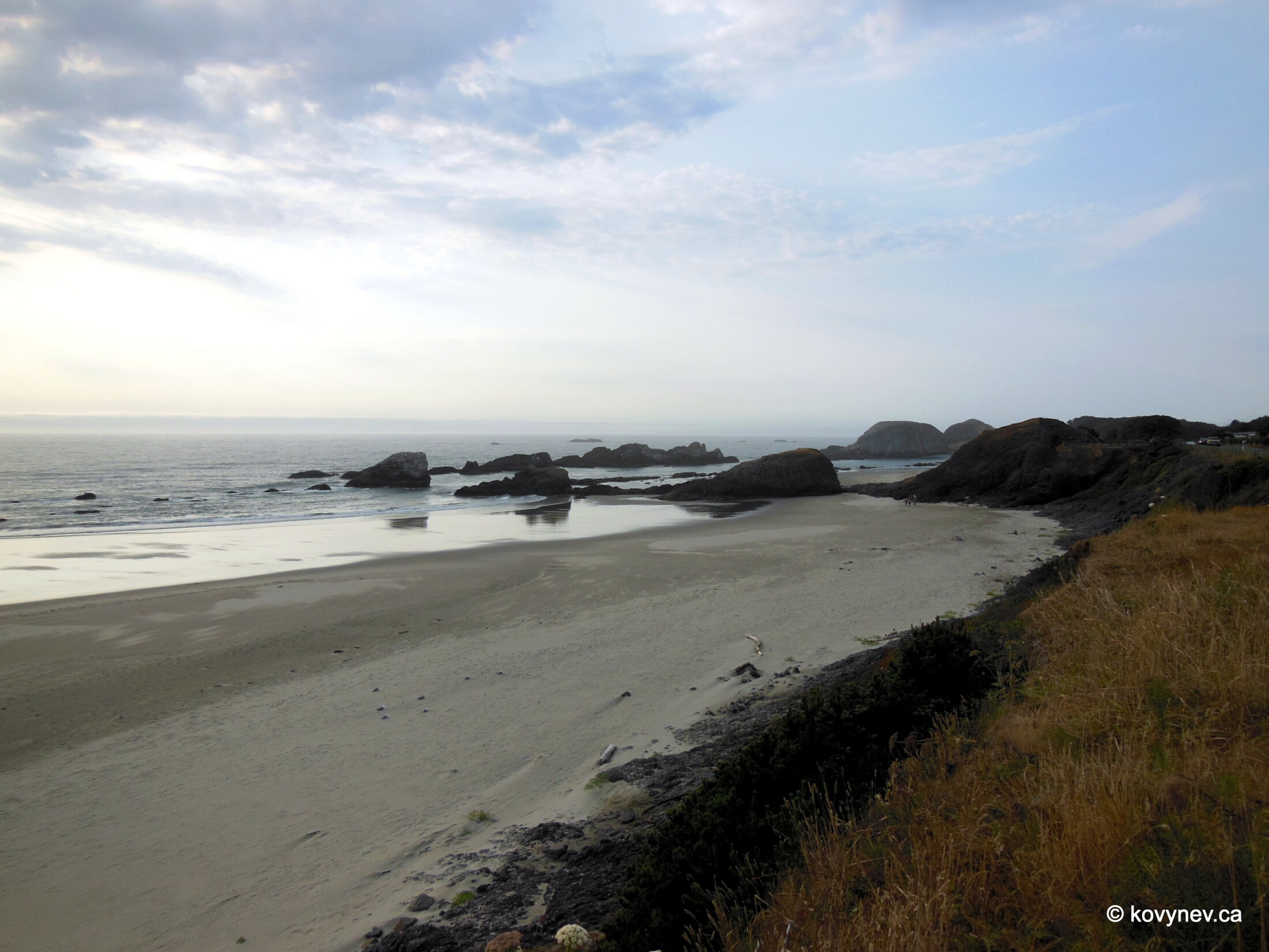
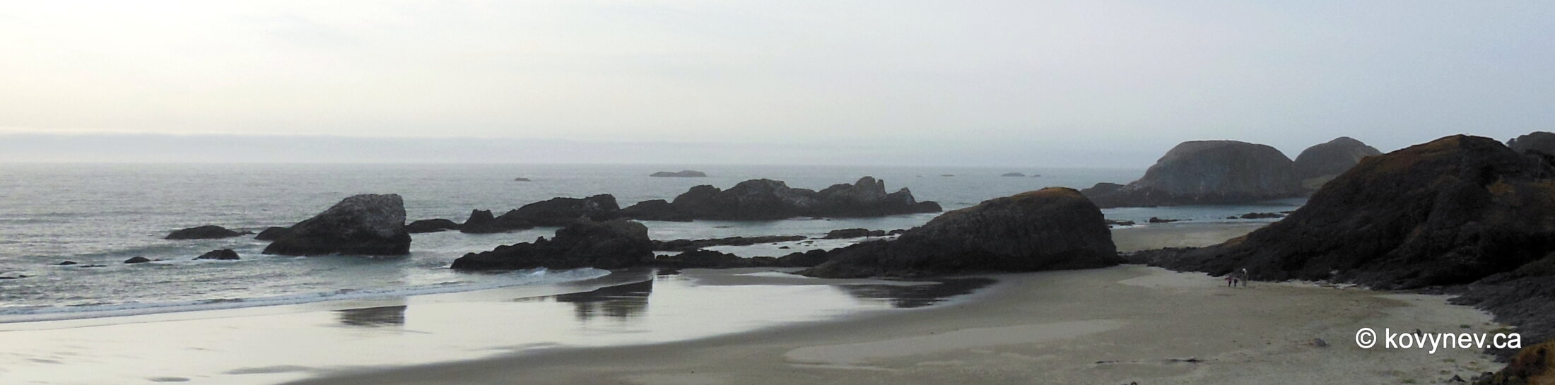
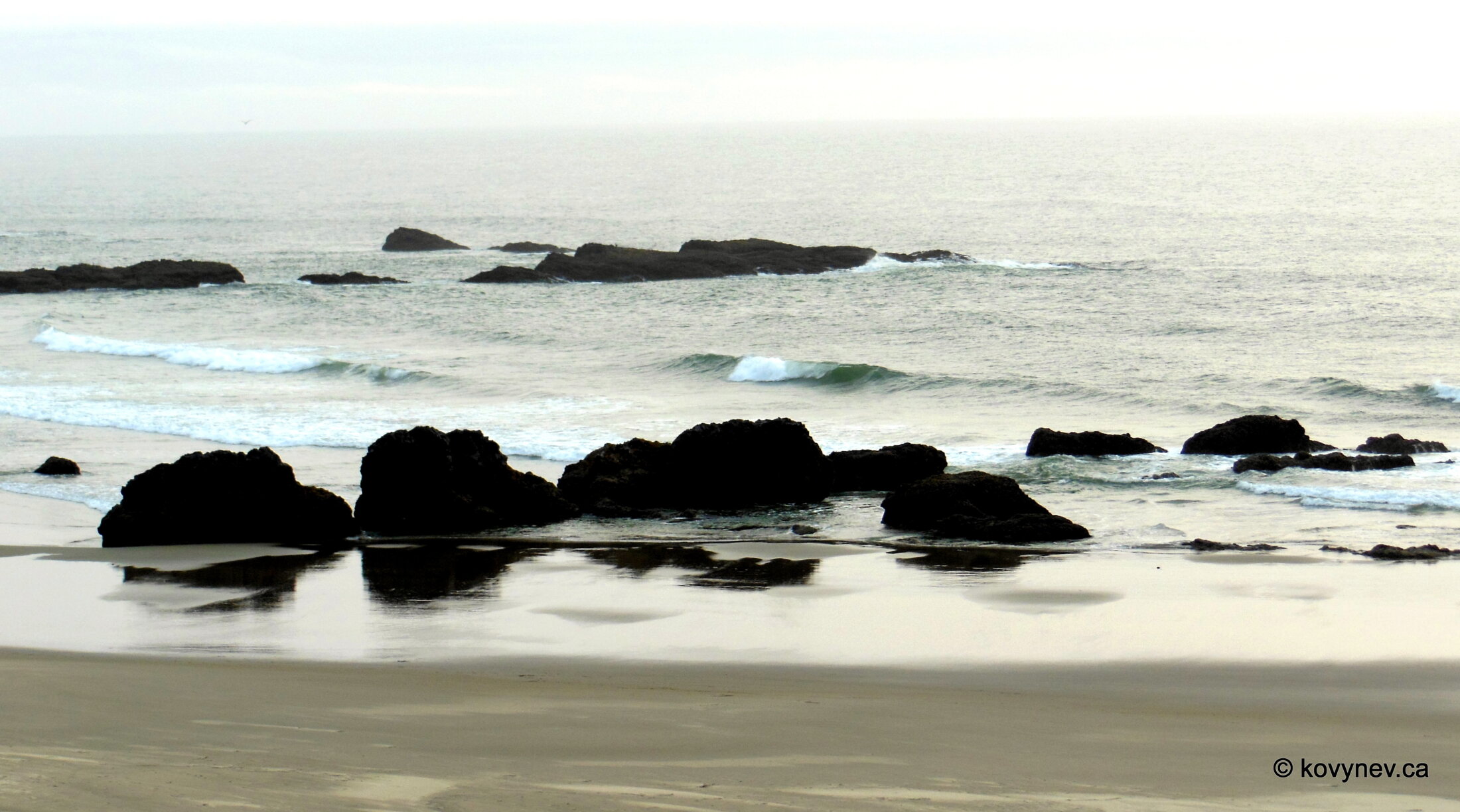
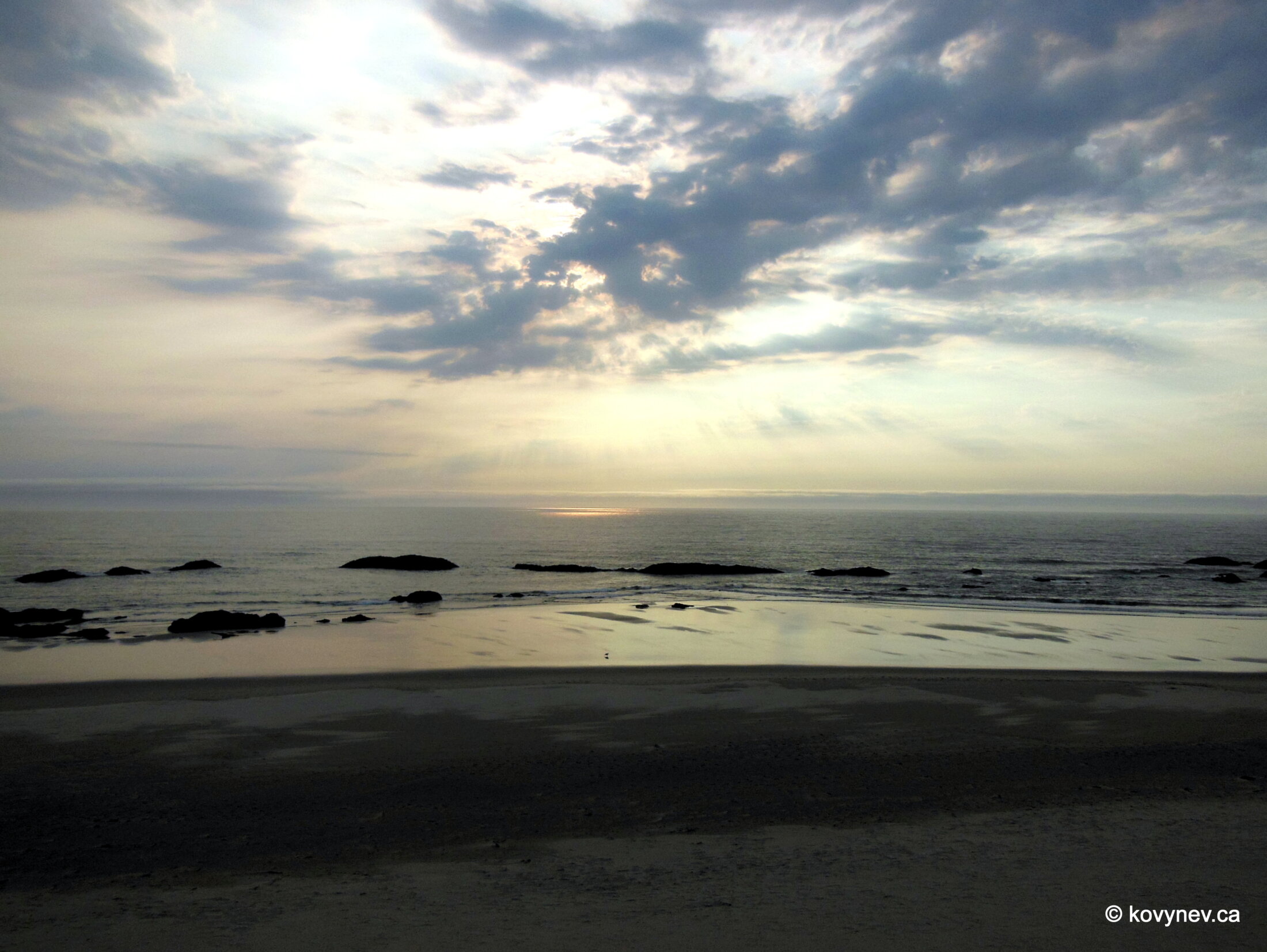
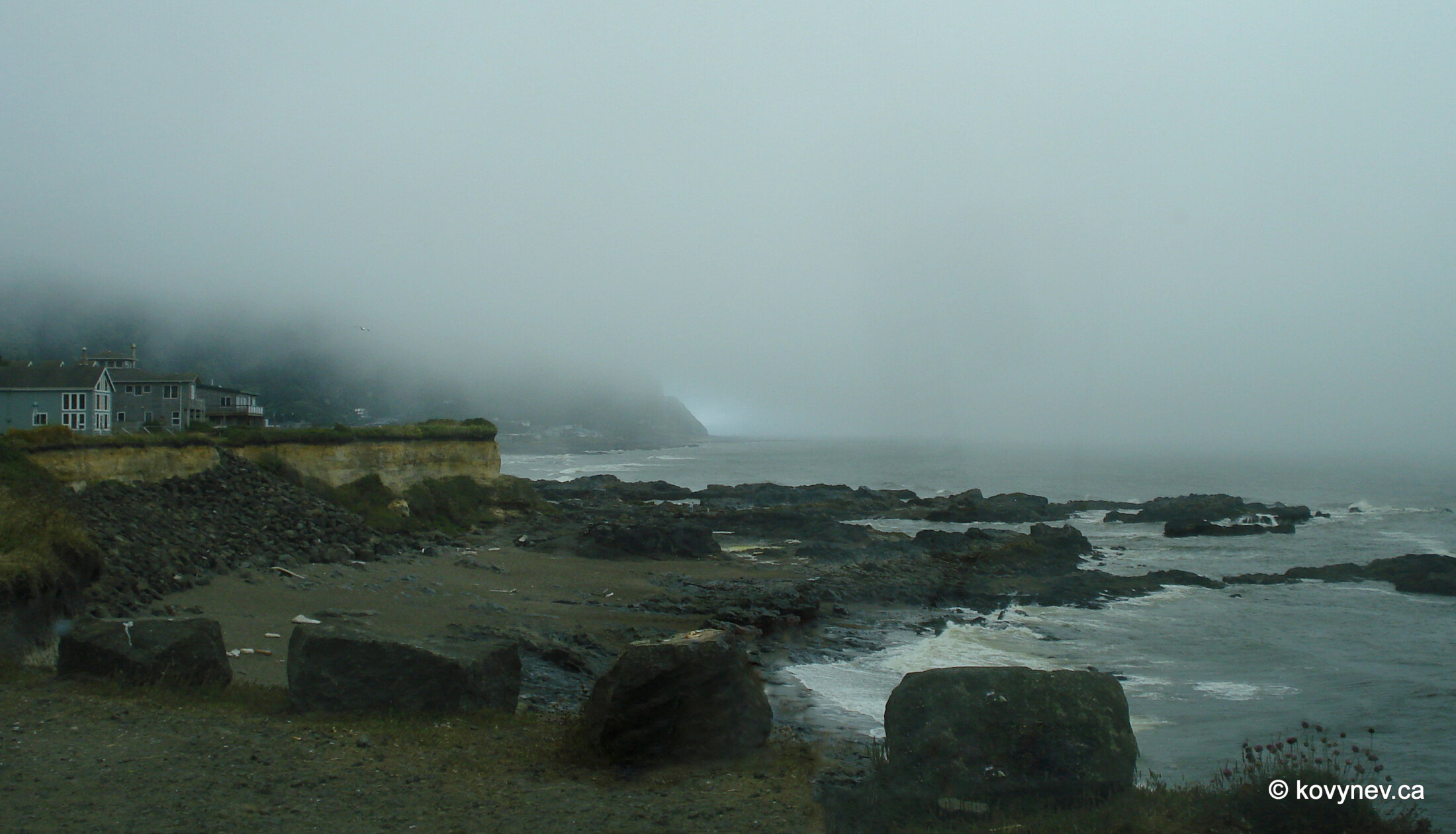
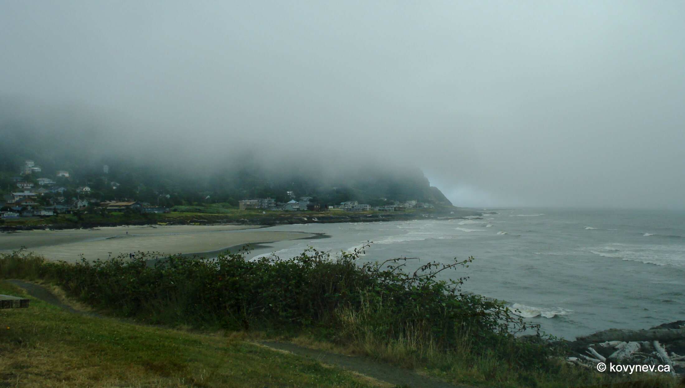
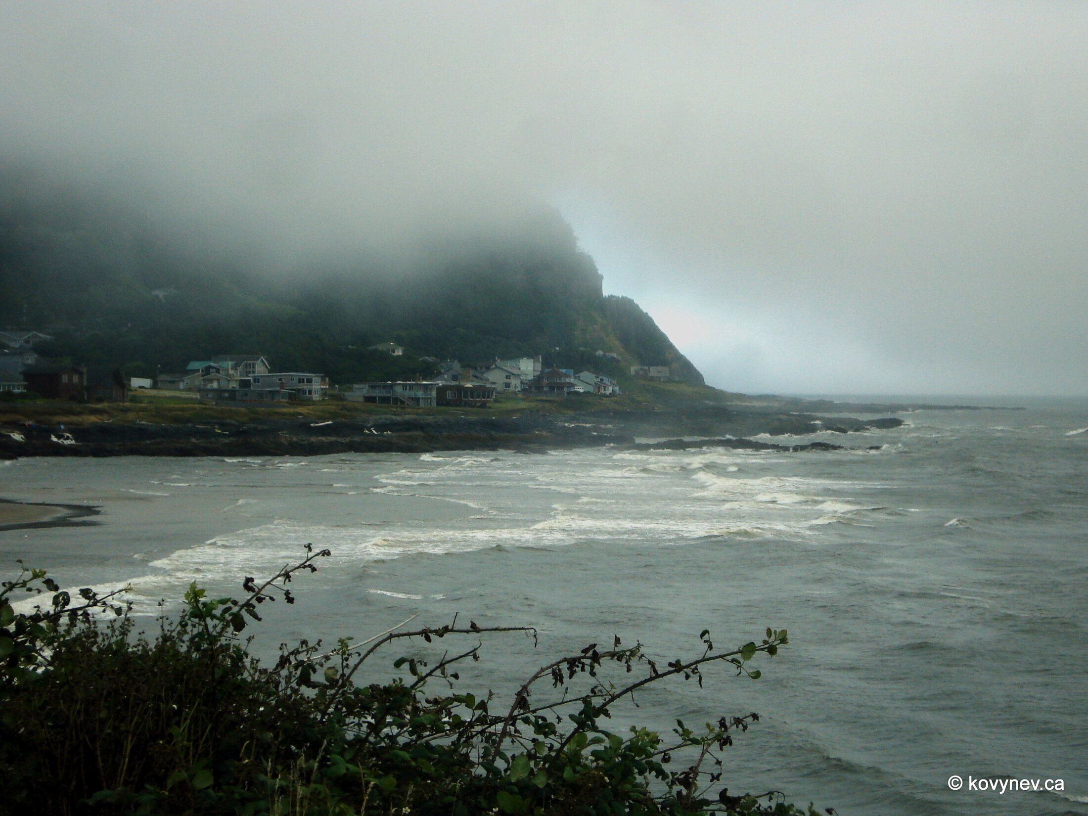
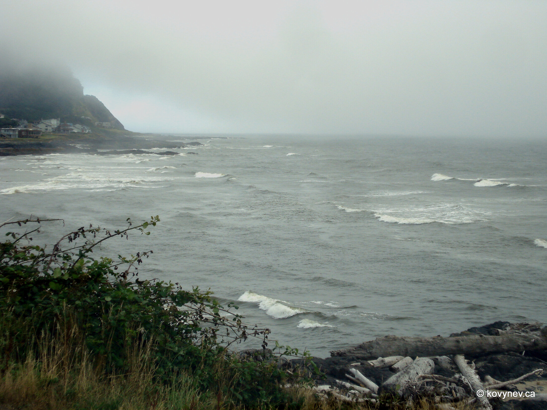
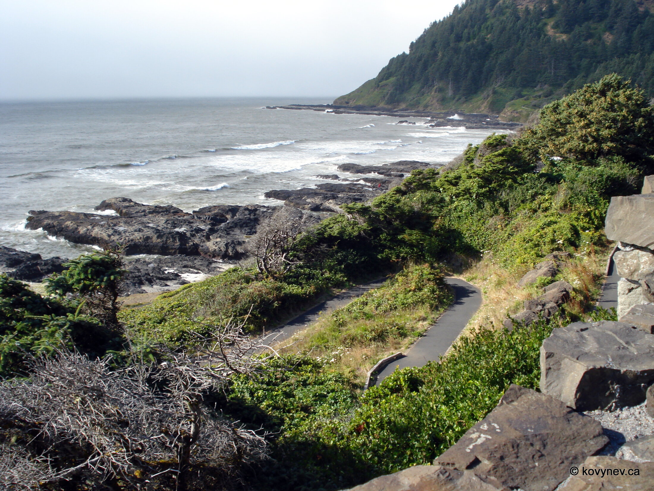
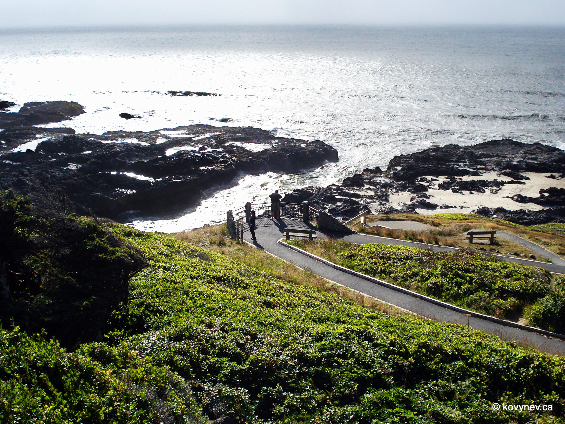
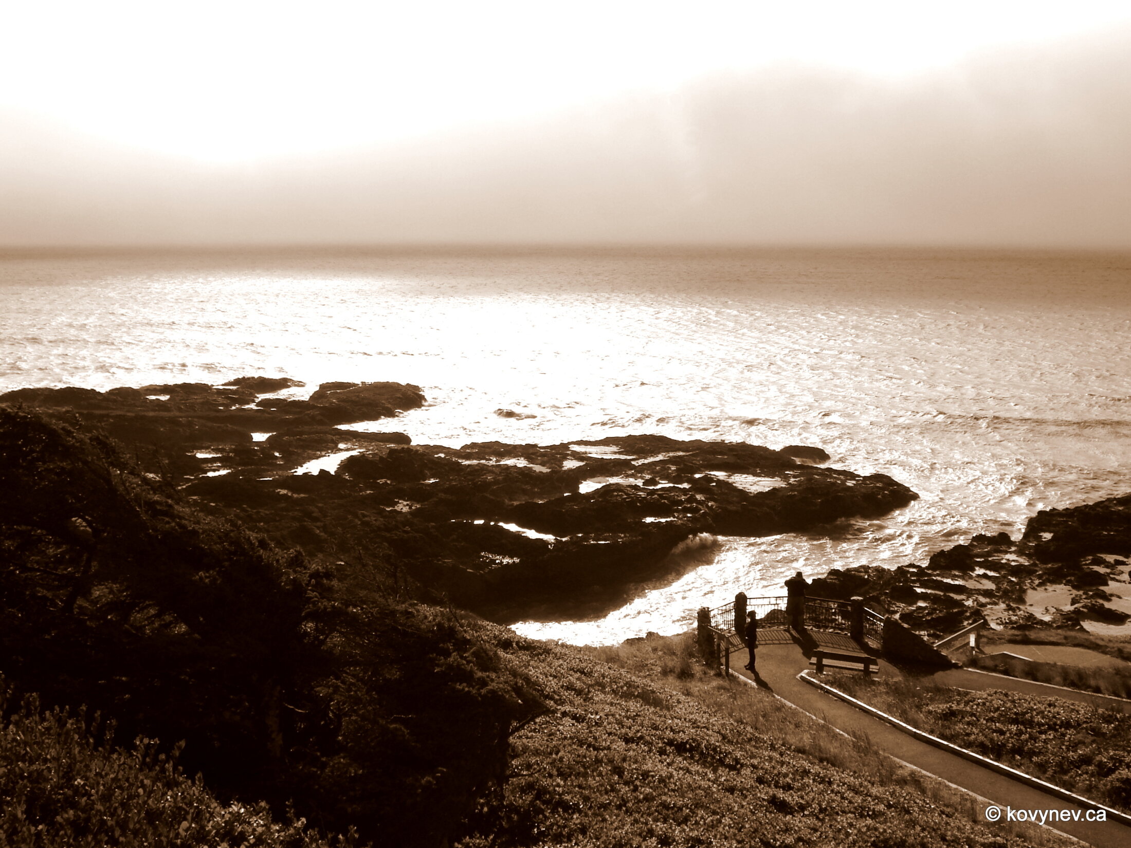
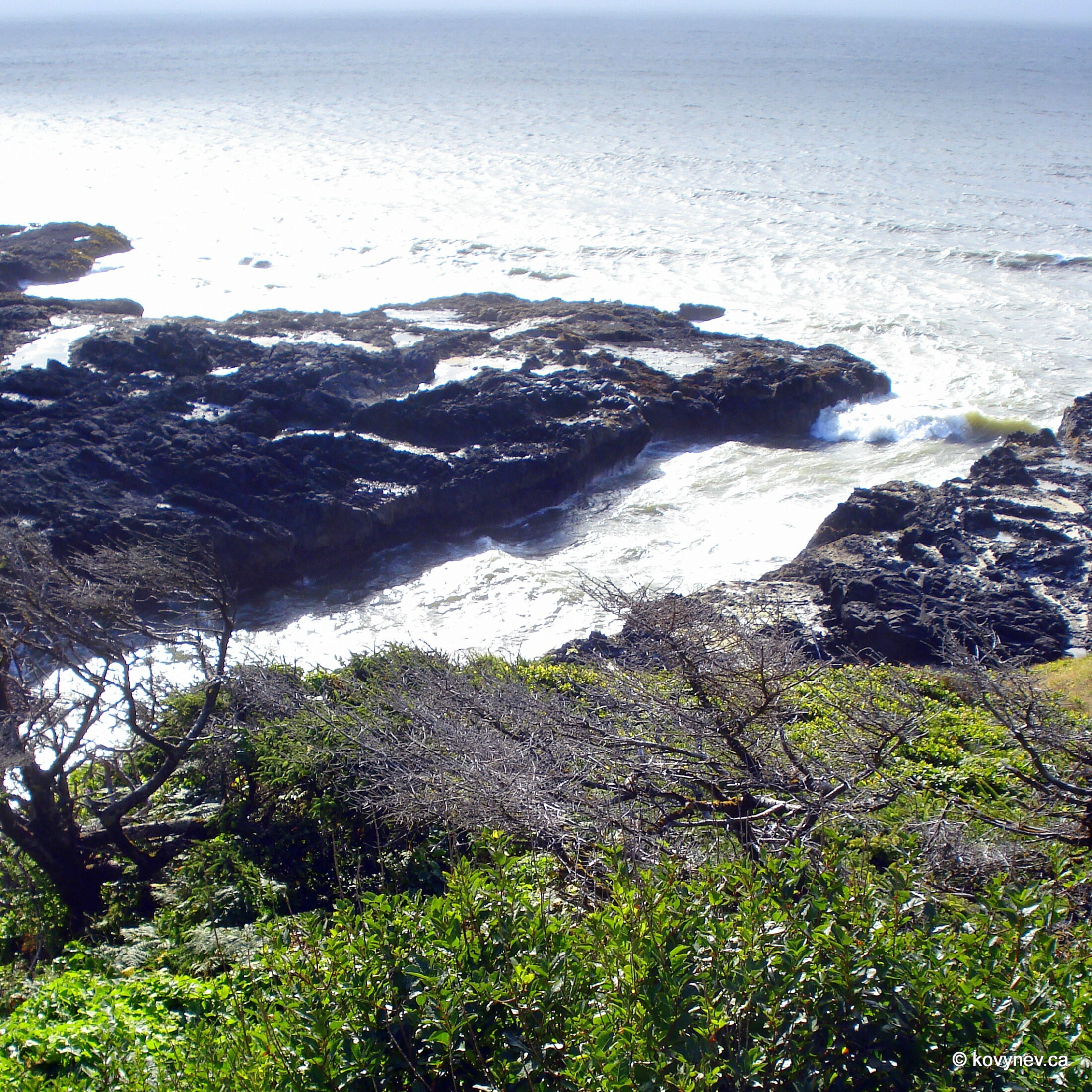
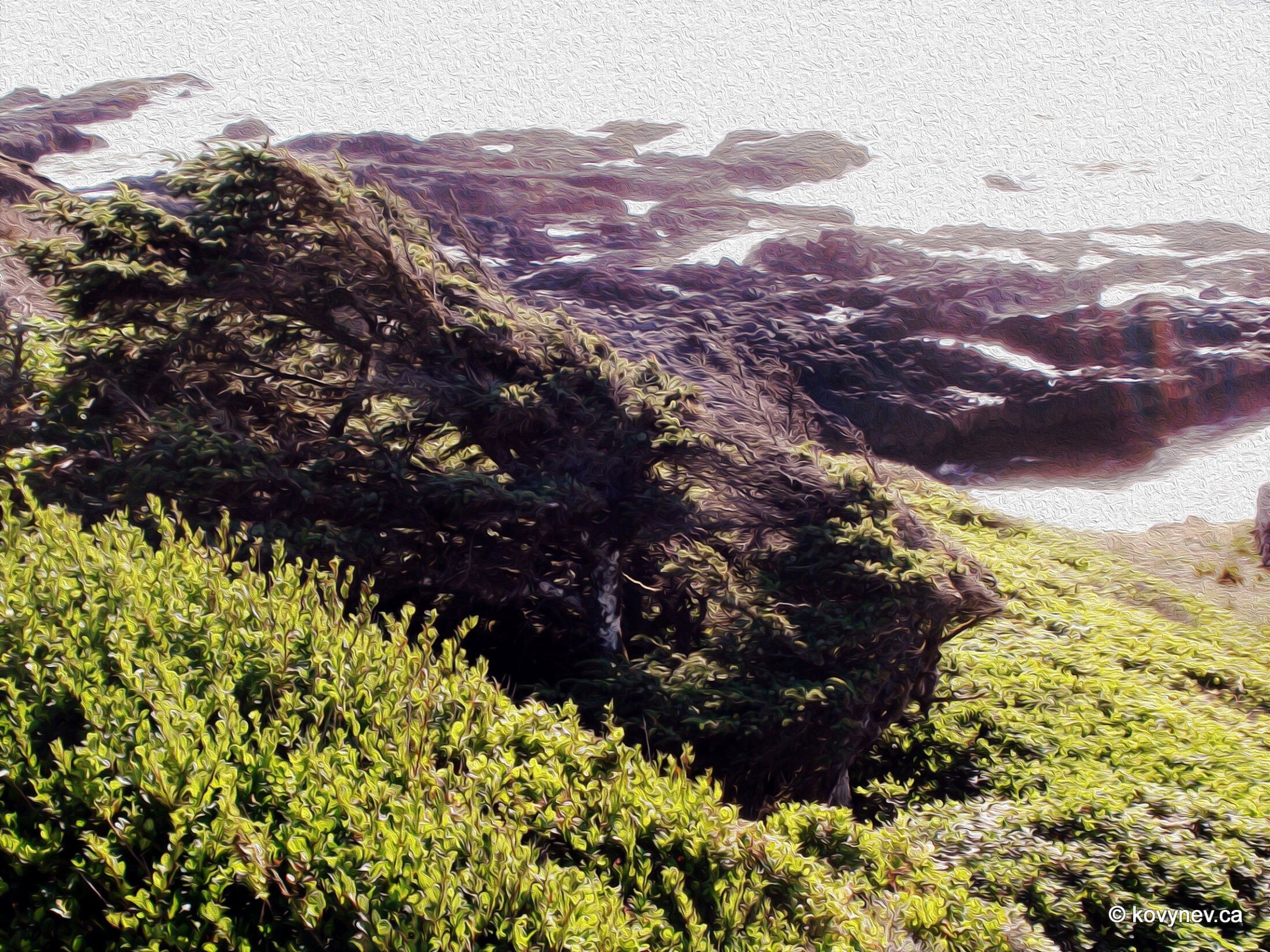
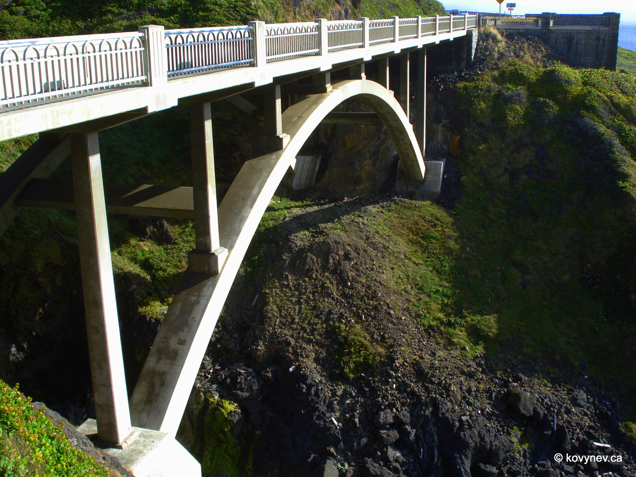
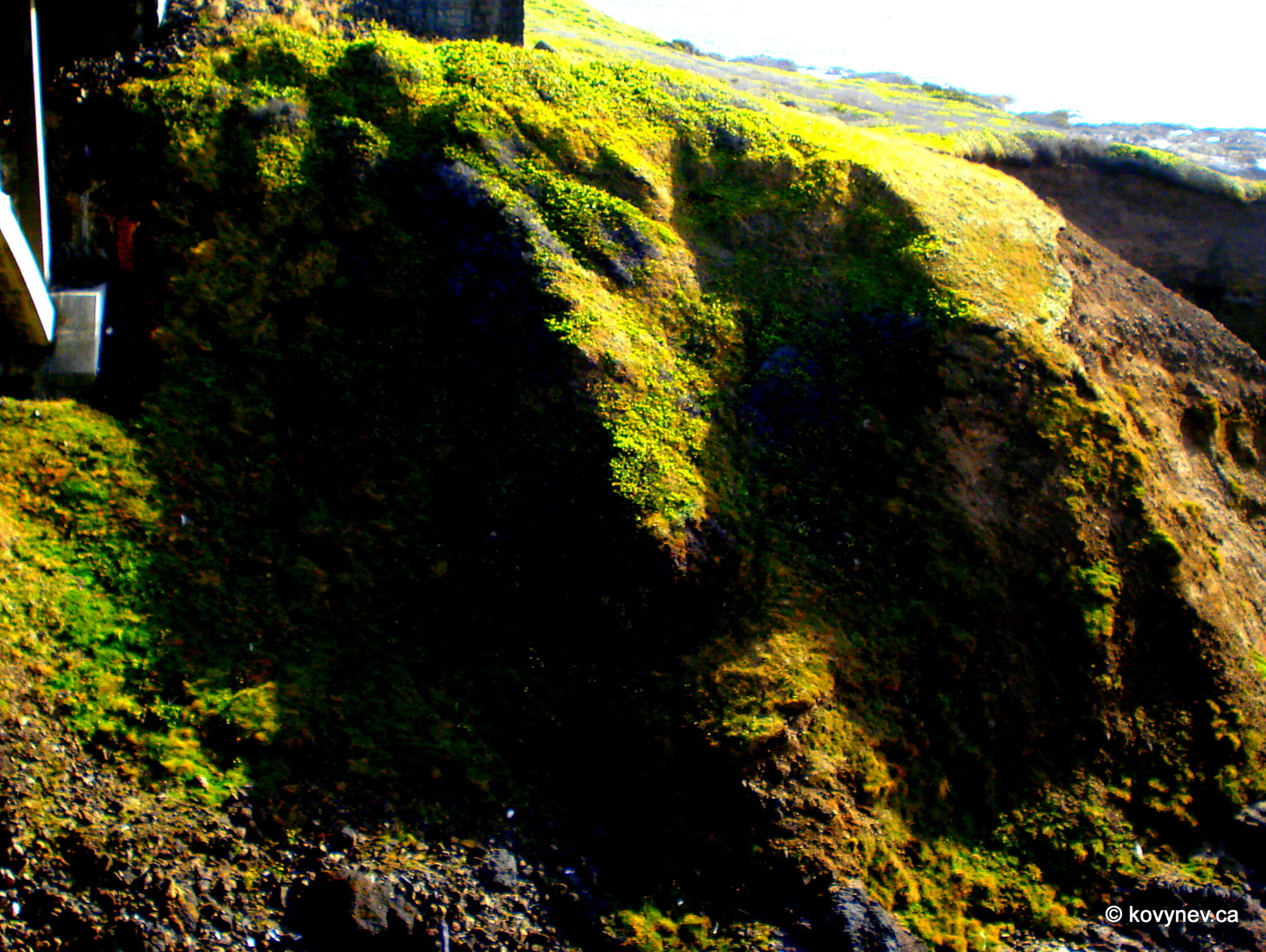
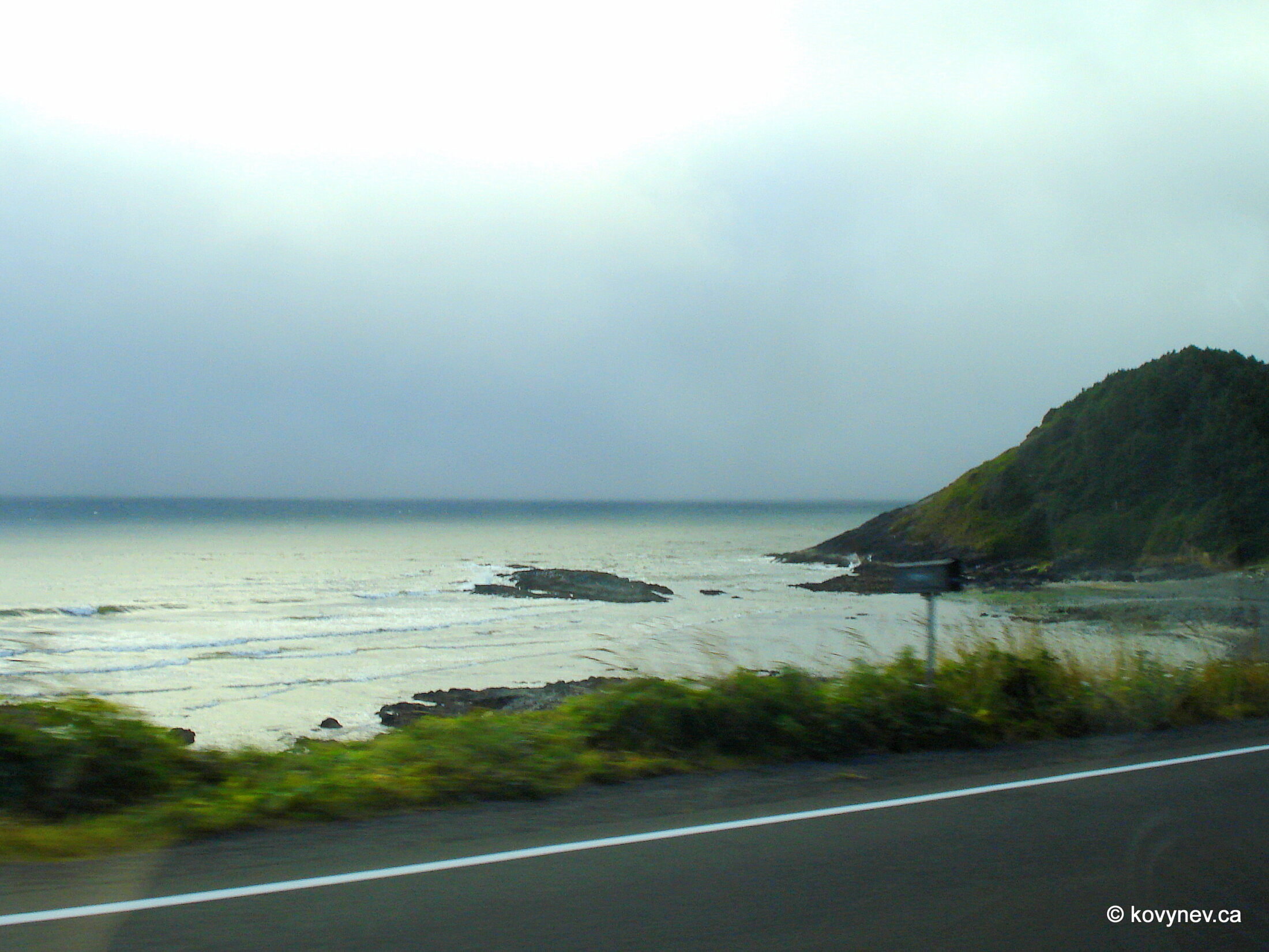
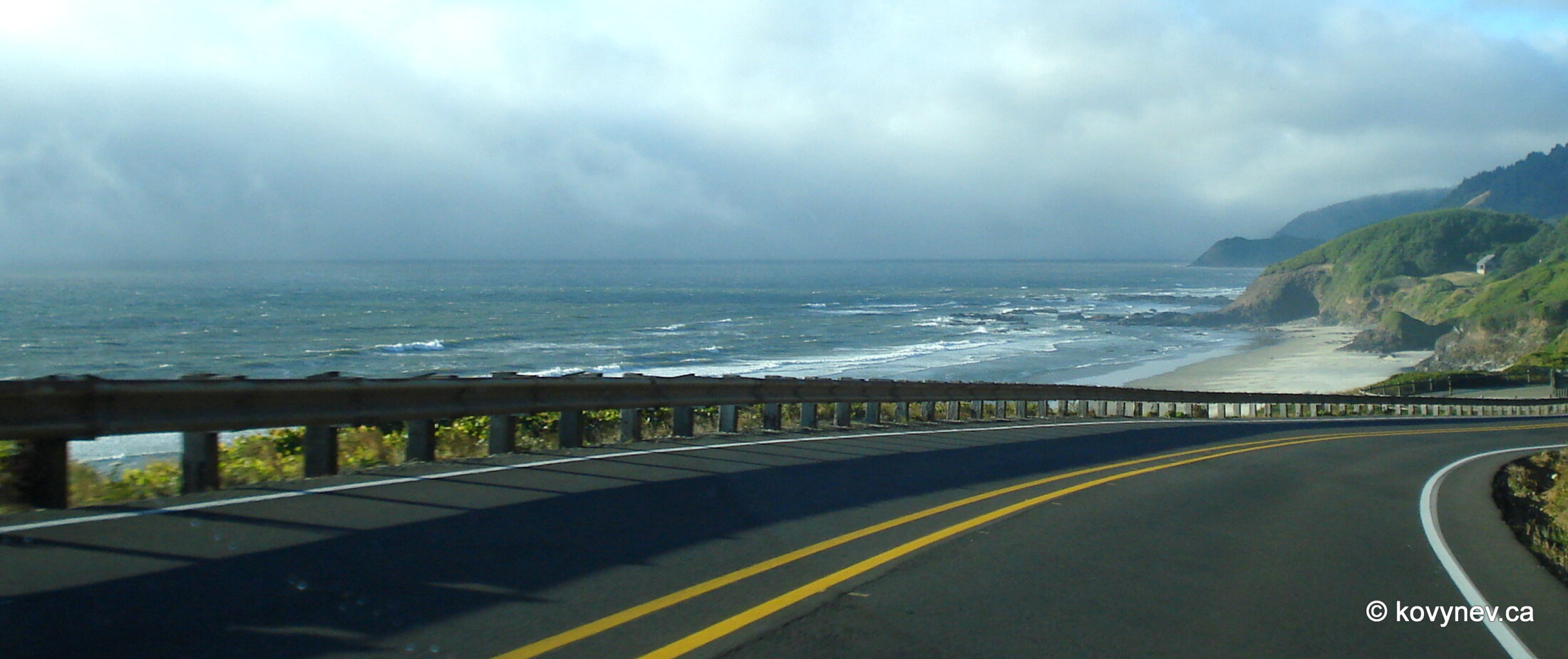
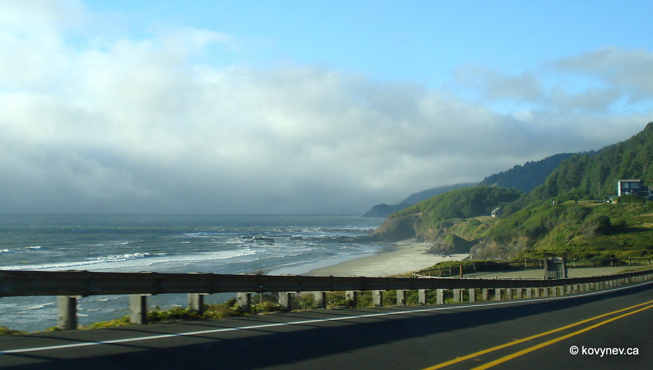
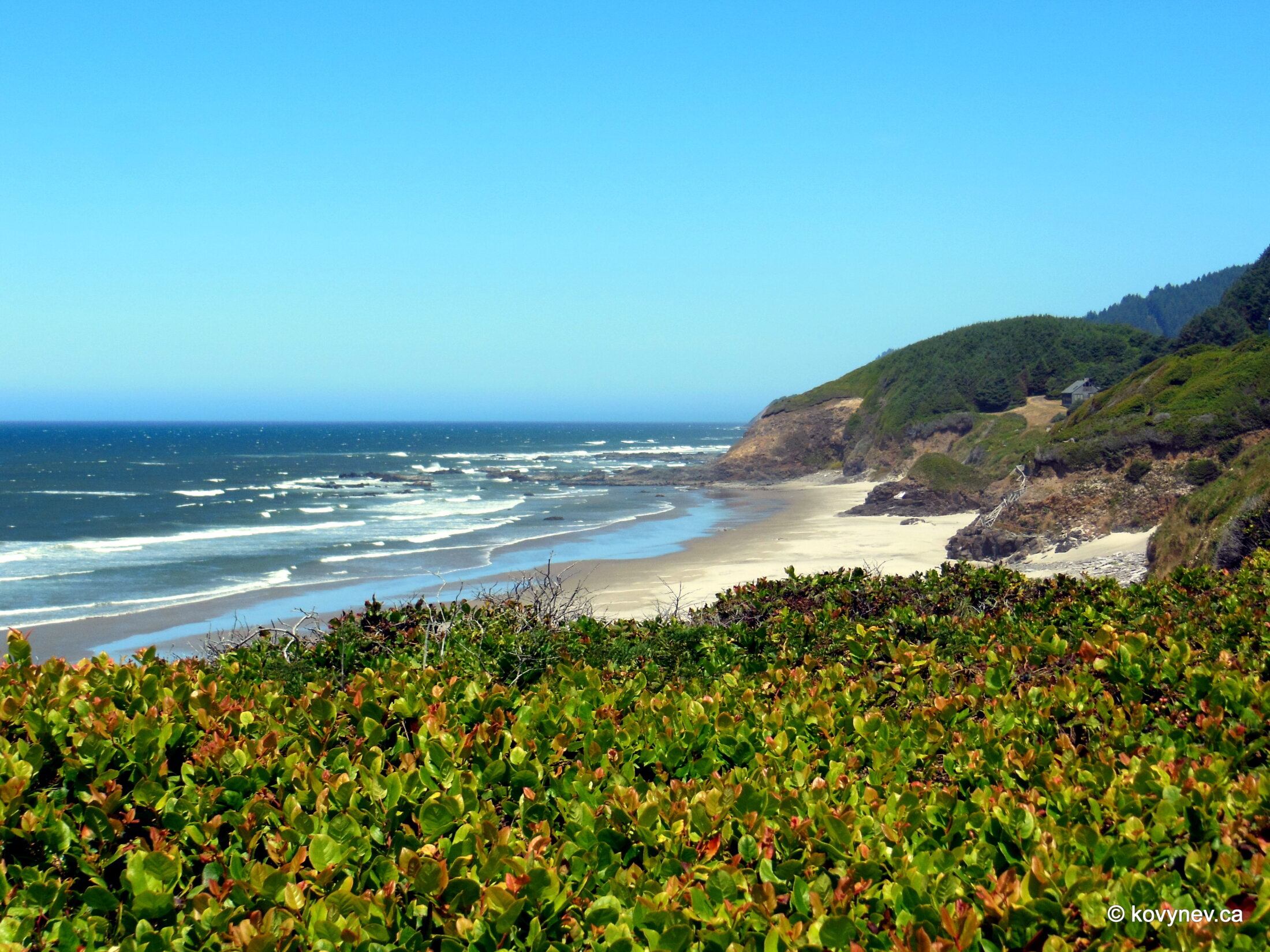
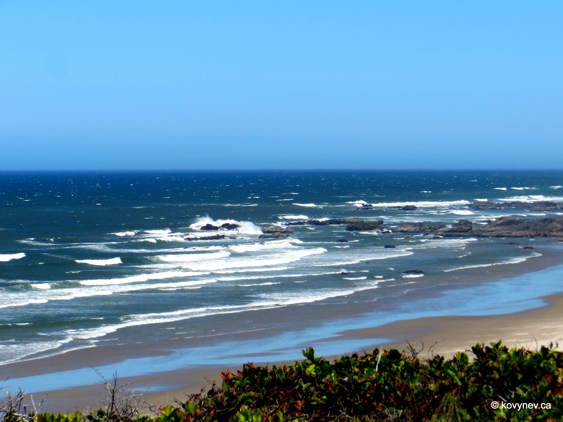
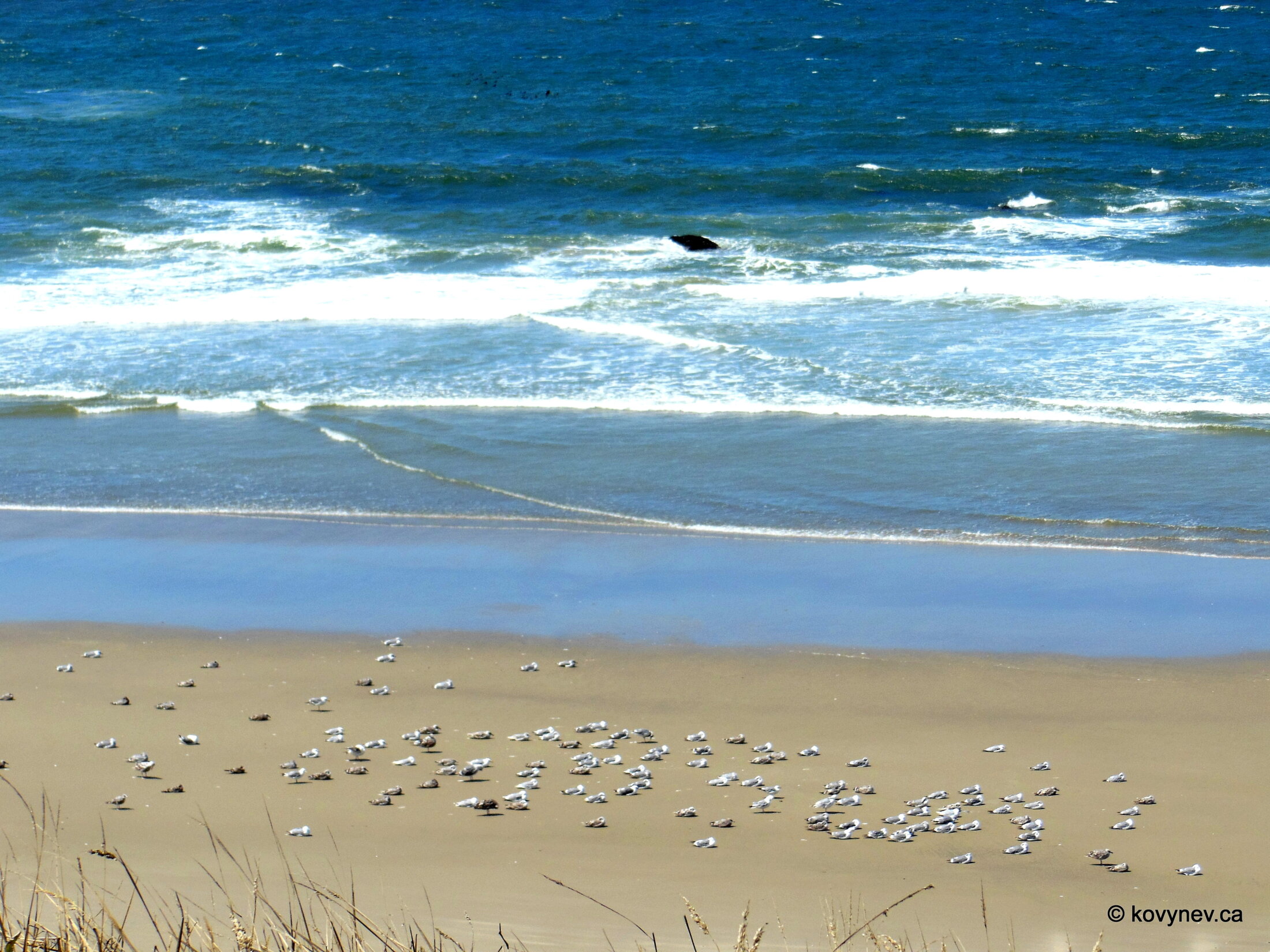
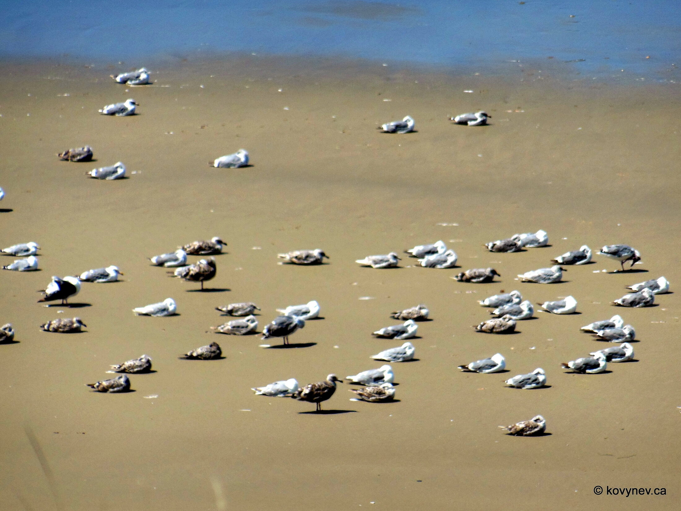
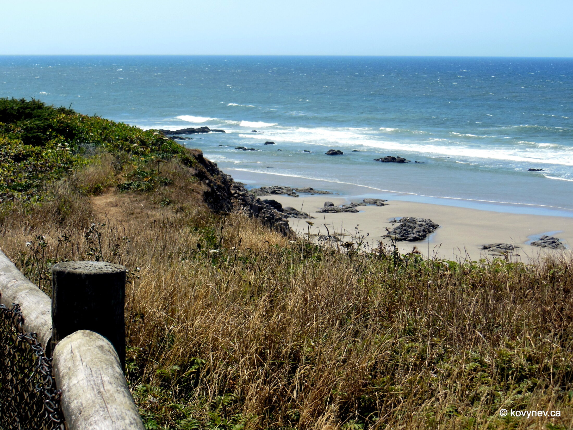
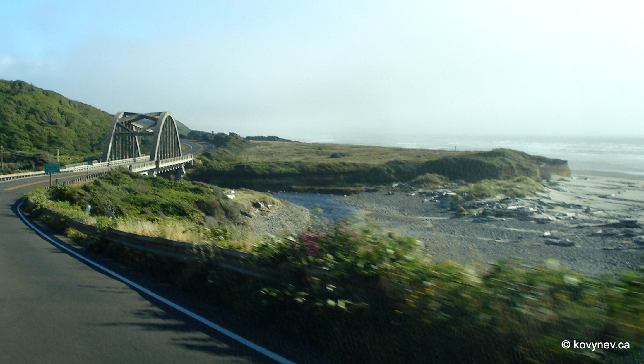
This is one of the two Newport pictures, featuring Yaquina Bay Bridge, another of Conde McCullough′s creations. The bridge spans across the estuary of Yaquina river, which falls into the Pacific at Newport.And this is the second Newport pic. Just a random motel, a very American type of lodging.This is called Little Creek Cove, a scenic spot 15 mins from Newport.The rocks strewn around in the water make Little Creek Cove a very picturesque place for a quick stop on the way.We have arrived at Yachats, the midpoint on our way to Heceta. Here we are at the Ocean View Park, looking south, across Yachats river′s mouth.The great protrusion shrouded in fog across the river is Cape Perpetua, one of the biggest capes in this part of Oregon Coast.It was named such by Captain Cook, on that same voyage of 1778. He discovered this cape on March 7, the day of St. Perpetua in Anglican church.Look at the sea here. It′s quite stormy, and the coast is enveloped in fog. Doesn′t look like a very hospitable place, does it? ⇨ ⇨ And now look at this picture. The difference between the two is a 5-min drive, and 3 kms as the crow flies. But here, we are on the other side of Cape Perpetua. Just shows you, how varied the weather can be within a few miles, when you are on the coast.This area on the south side of Cape Perpetua is all rocks, coves and sinkholes, creating the fascinating landscape of whirlpools, eddies, and swirls ... ⇨ ⇨ ... with equally fascinating names - Devil′s Churn, Thor′s Well, Spouting Horn. All together they constitute Cook′s Chasm.This here, particularly, is Spouting Horn, which becomes a geyser-like fountain because of the rush of water during the high tide.I didn′t see the geyser, the timing not being right, but the scenery of intricate rocks amid scintillating waters was so captivating that I spent a lot of film, so to speak, on this single spot. [Using a Photoshop filter again]Moving further inland from Spouting Horn, ... ⇨ ⇨ ... up to Cumming′s Creek bridge. This time, just a bridge, not a Conde McCullough′s creation. Cumming′s Creek is a little brook that actually creates the crevice for Spouting Horn when it flows into the ocean.Finally, we are leaving Cook′s Chasm, and, taking a quick pic of Bob Creek out of the car′s window, ... ⇨ ⇨ ... we arrive at Tokatee Creek, another worth-stopping-by viewpoint on our way. The last one before Heceta.Don′t get spooked by the road on the wrong side. I visited this spot on the way back, but for the sake of coherence I am listing the stops here in the north-to-south sequence.Not much to say about this place. Just a stop, at the estuary of another creek, with pretty views from the elevated wayside, on the beach below. And that′s it for Tokatee Creek Viewpoint. Moving on towards Heceta Head!But before we get to Heceta, we will pass Big Creek Beach and snap a couple of pictures from the moving car.This is Big Creek Bridge, designed again by Conde McCullough.Press ESC to exit