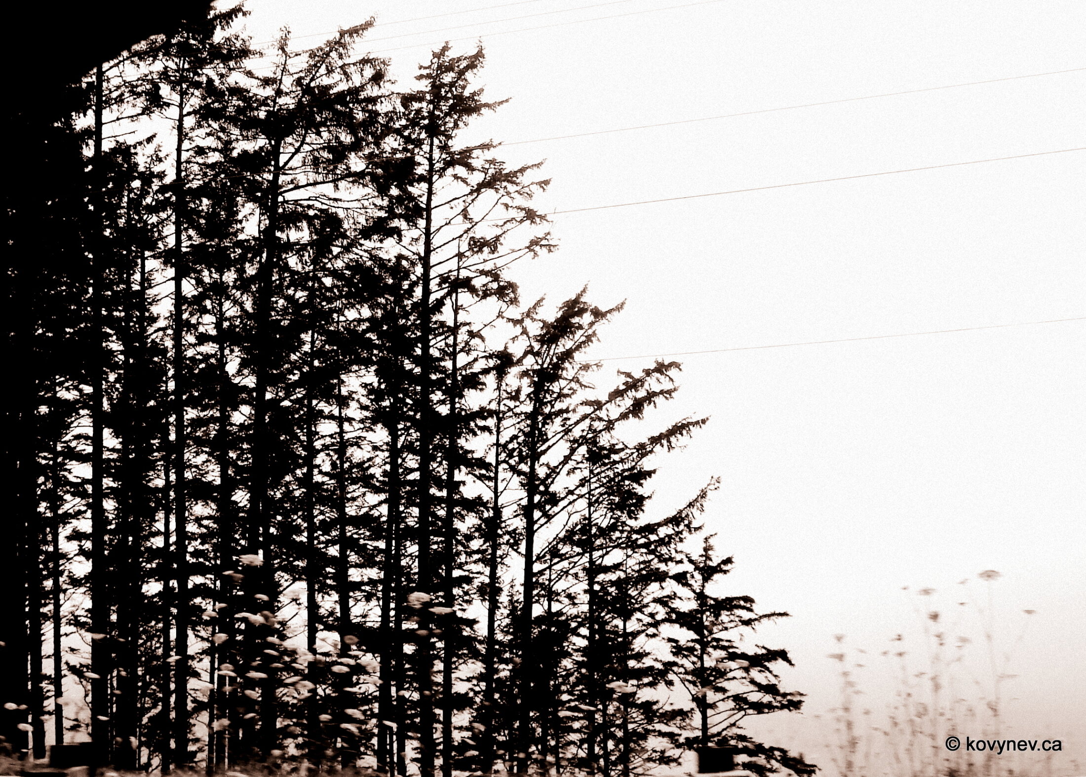
There are only two more stops left on our way to Newport – Otter Crest and Beverly Beach. Otter Crest is just 5 km from Depoe Bay, so it will takes us no time to get there.
NIKONCOOLPIX S9300 22mm
/ 5.7
/ 10/1000s
/ ISO 125
Created: 125
Uploaded: 125
Likes: 125
Views: 125
Comments: 125
-1
-1
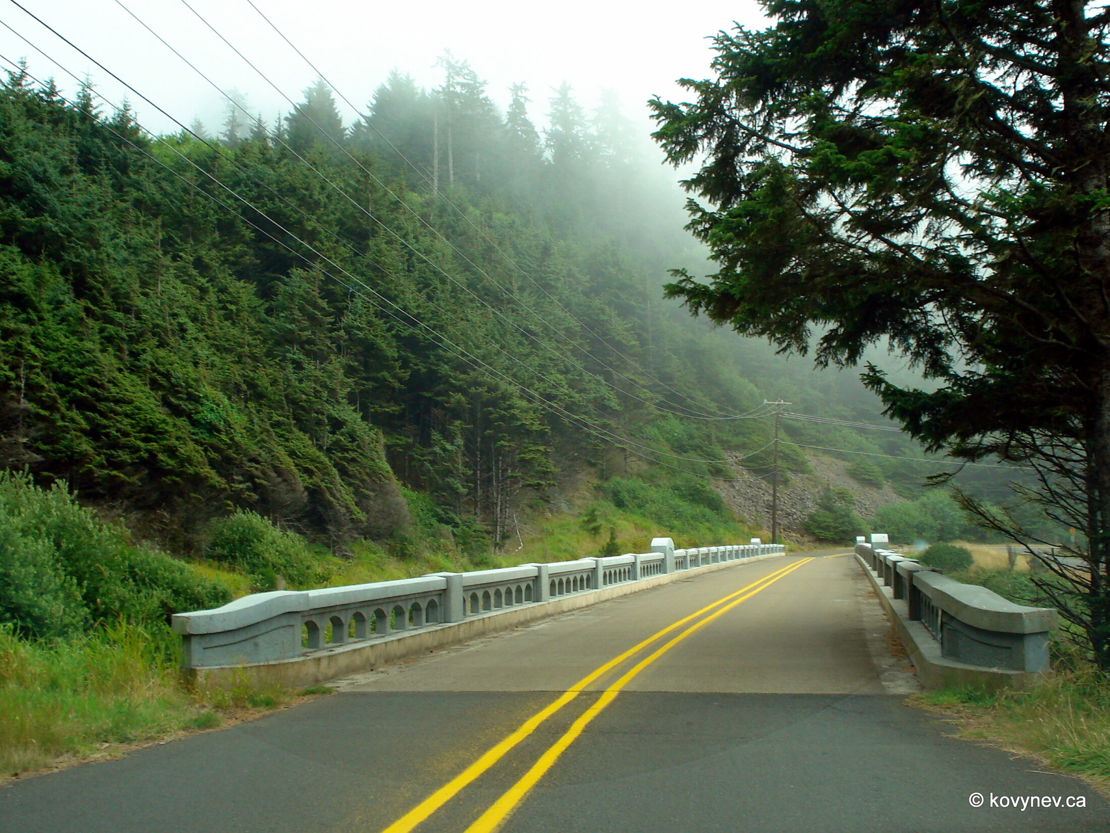
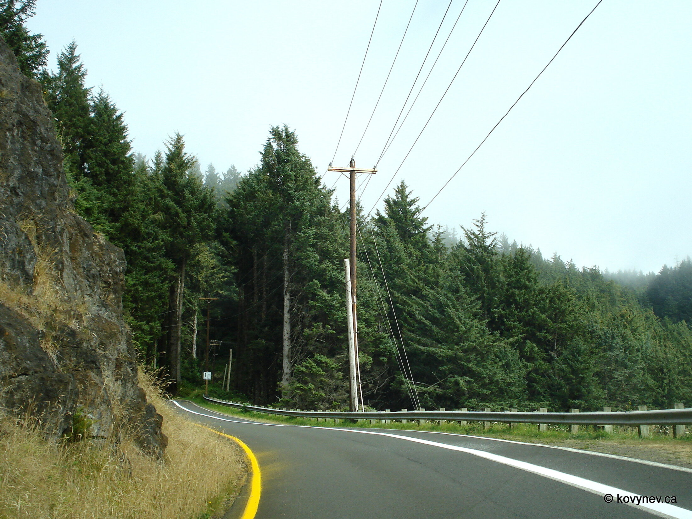
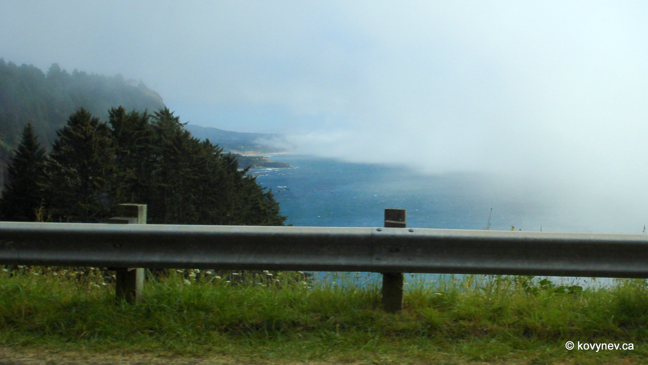
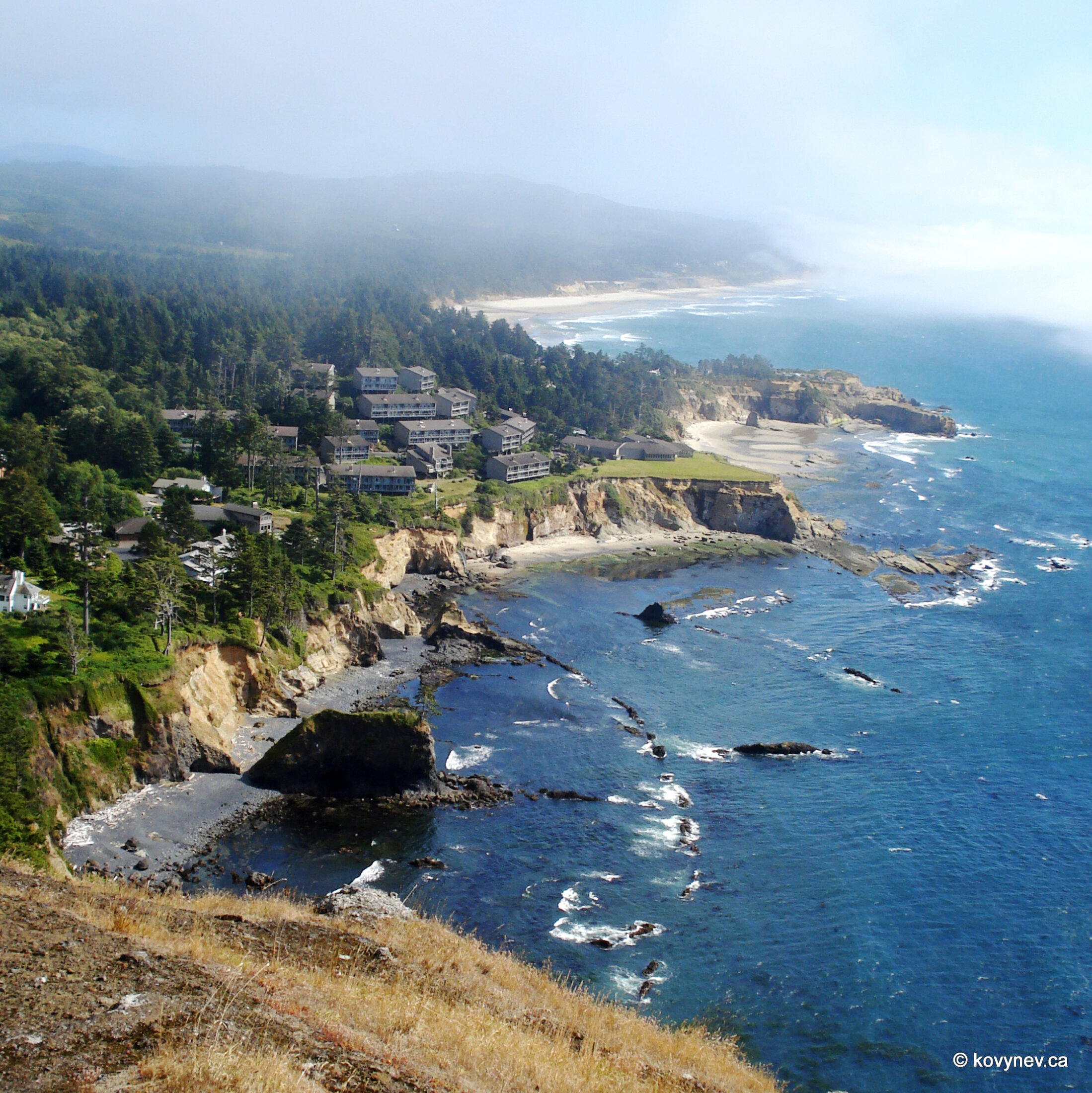
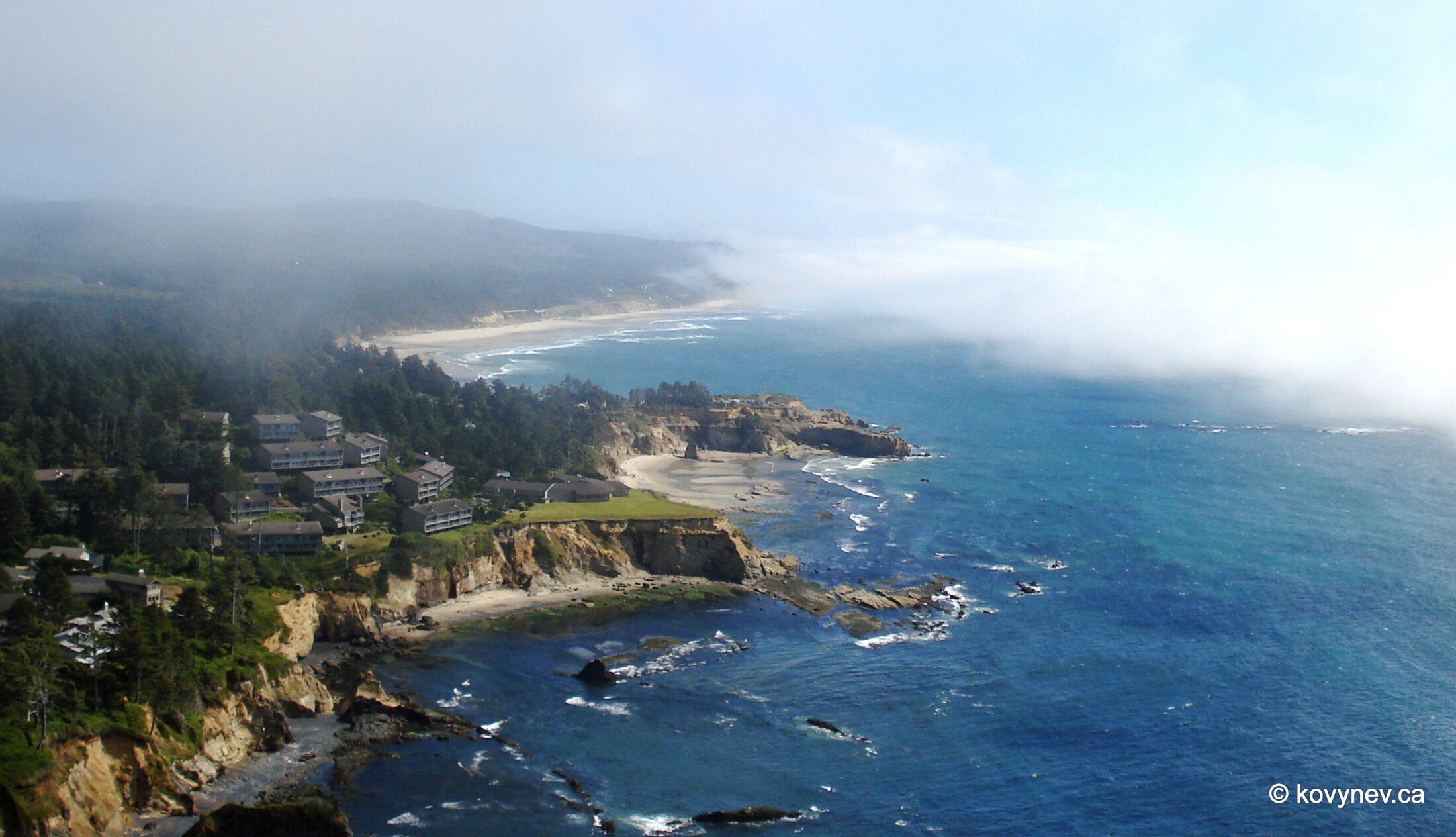
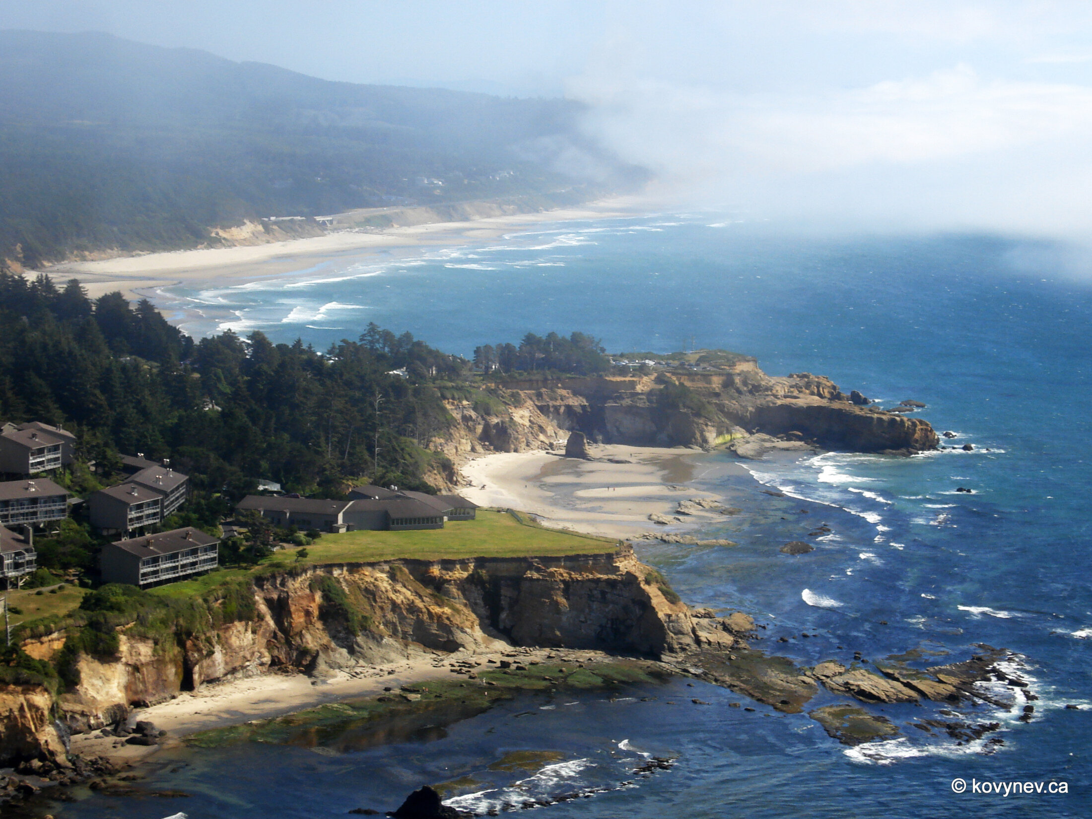
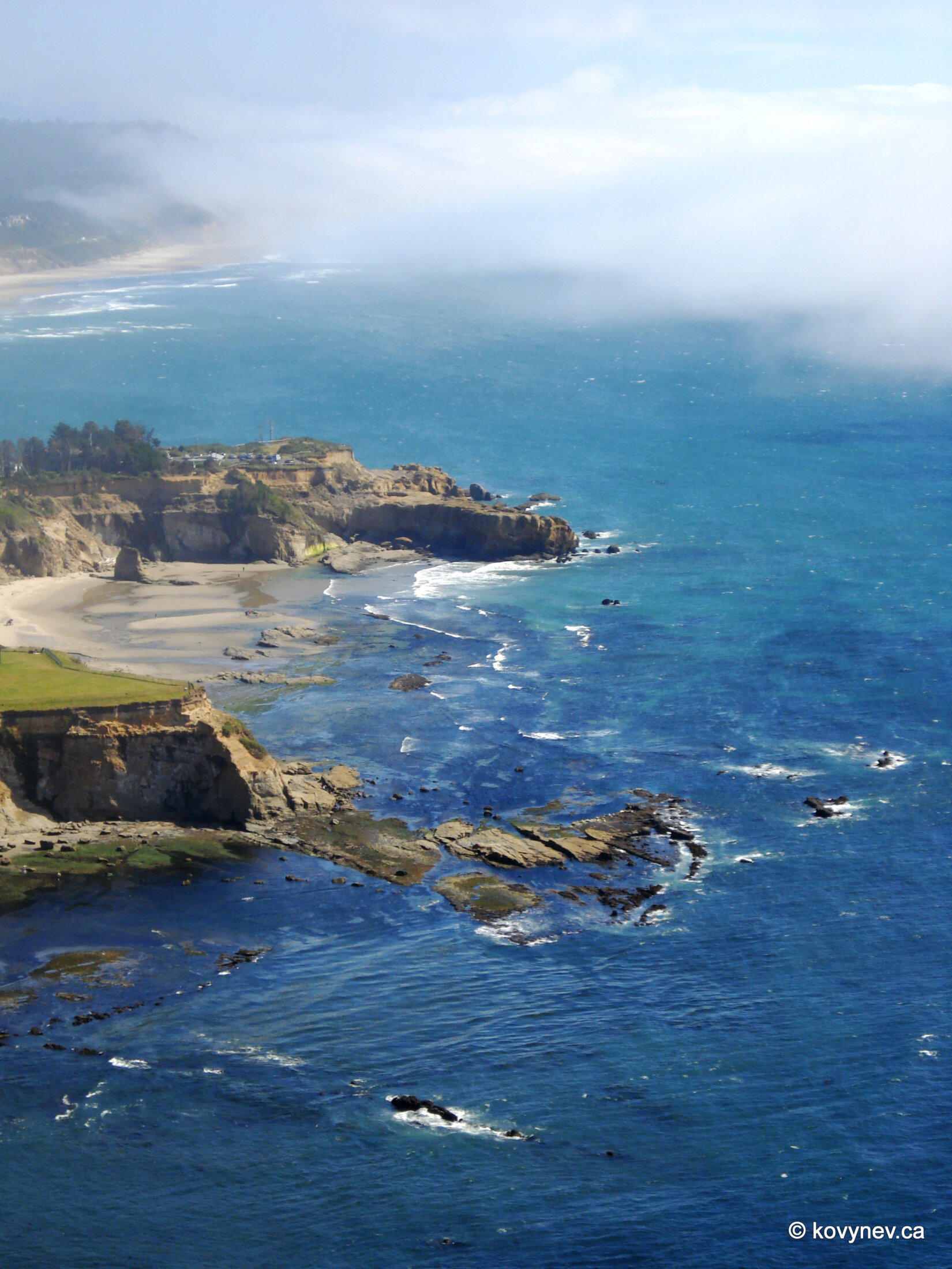
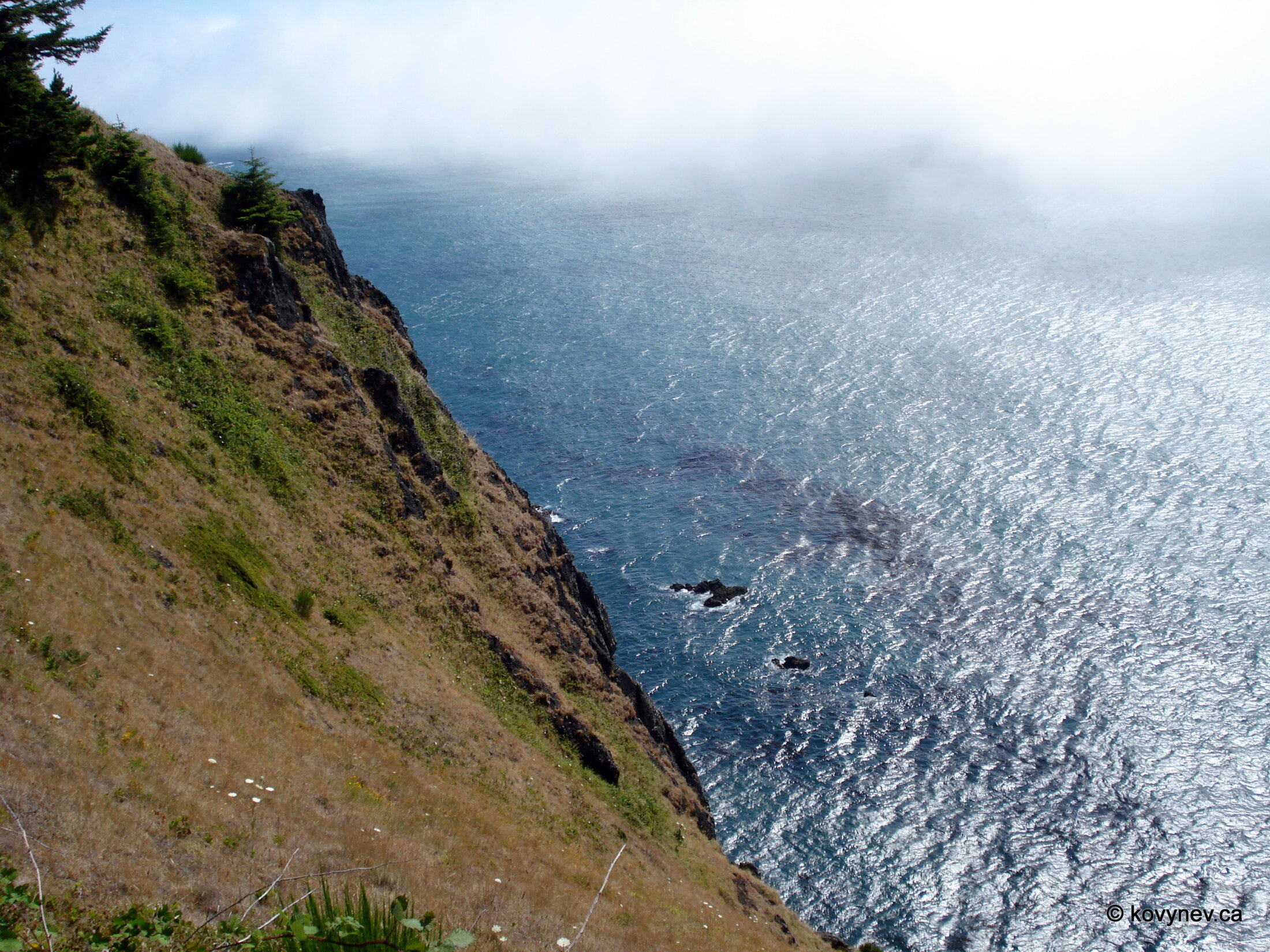
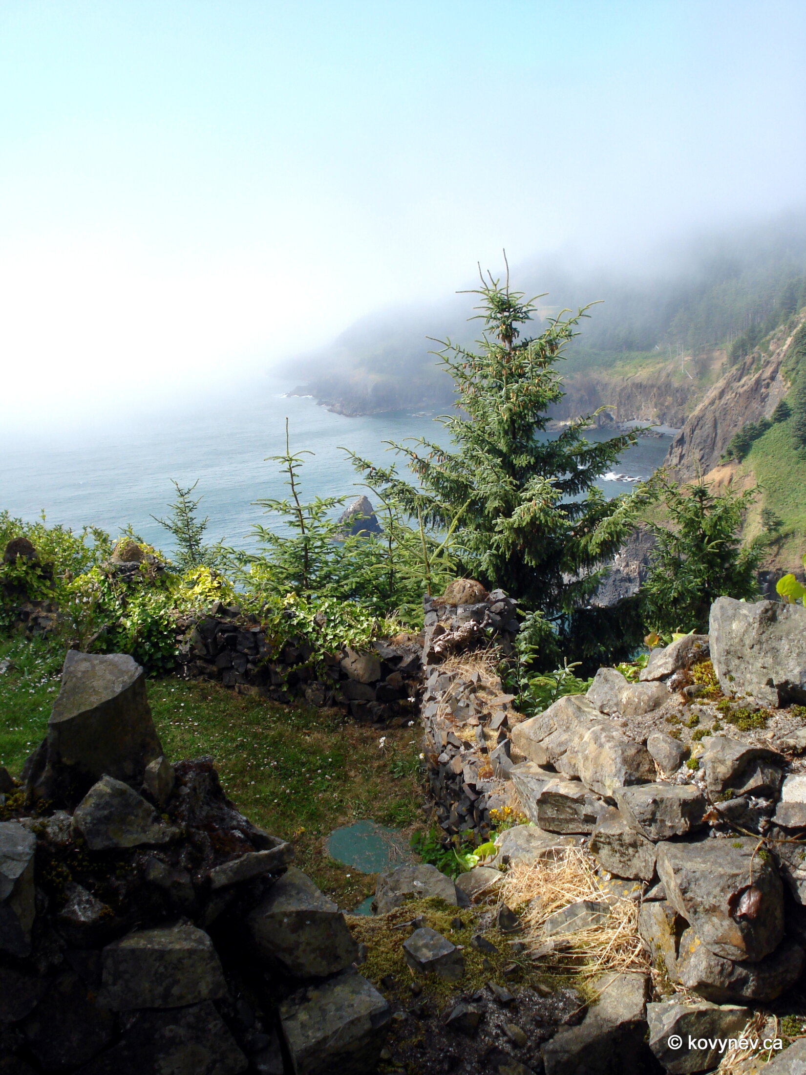
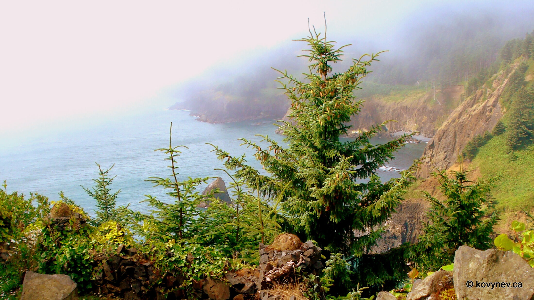
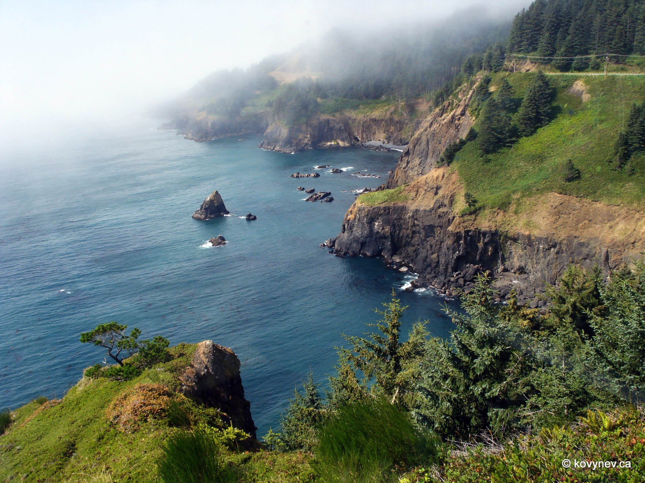
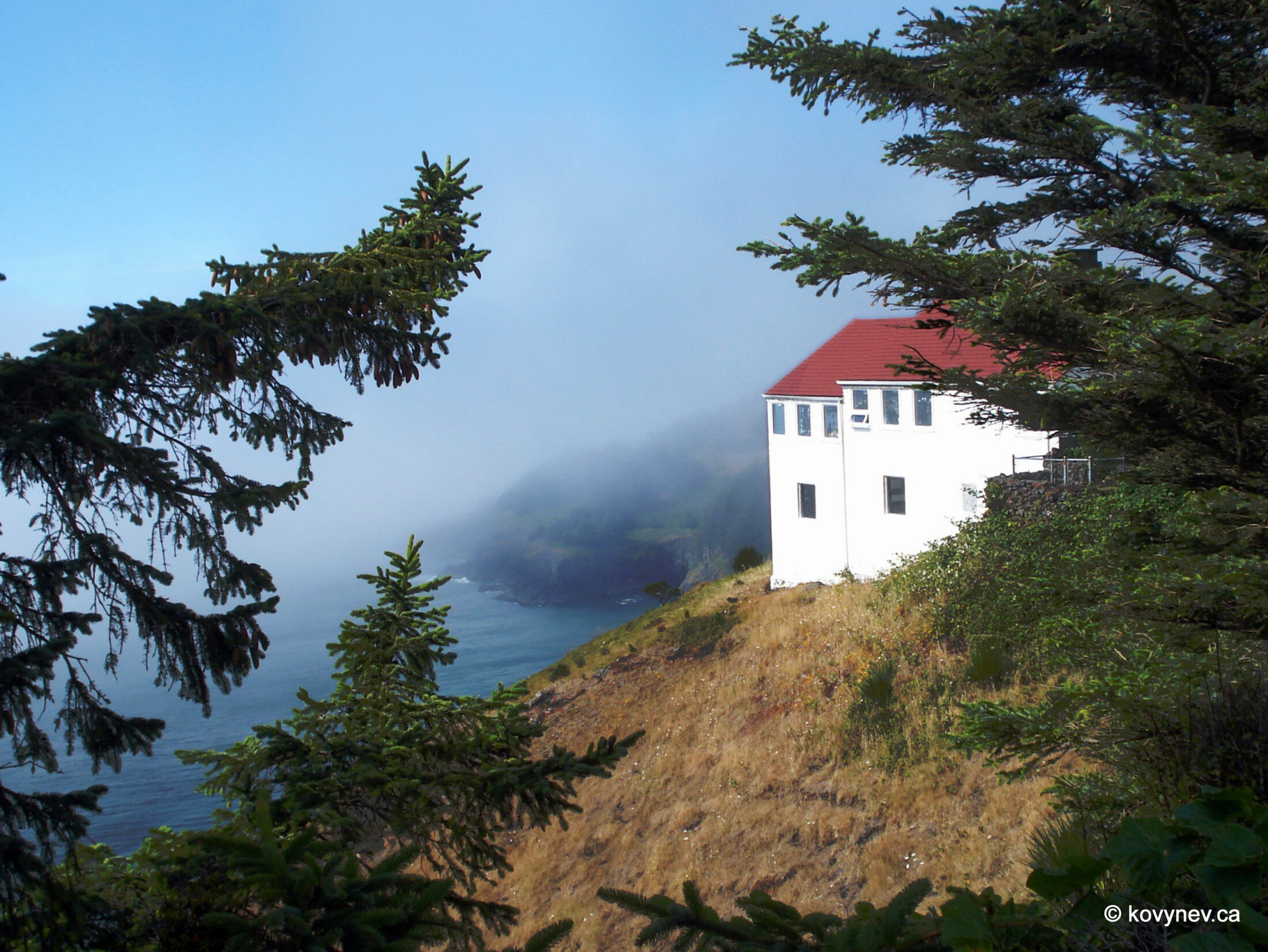
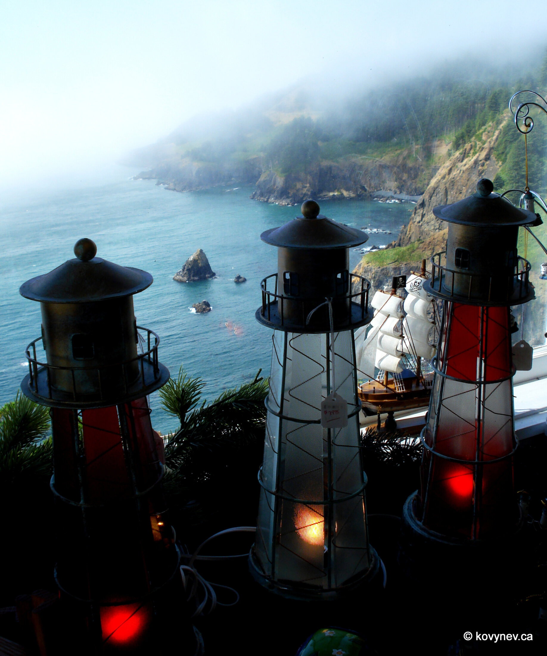
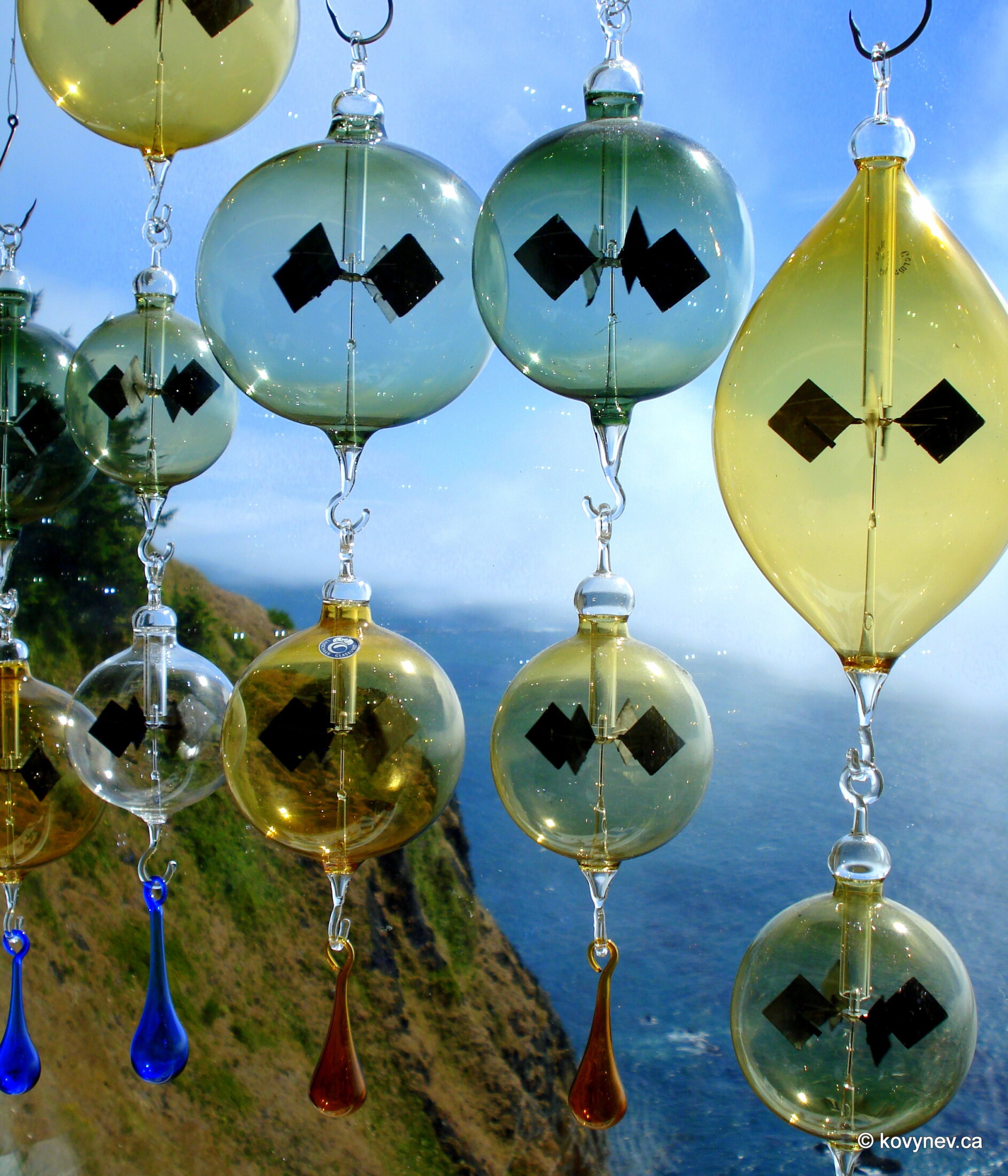
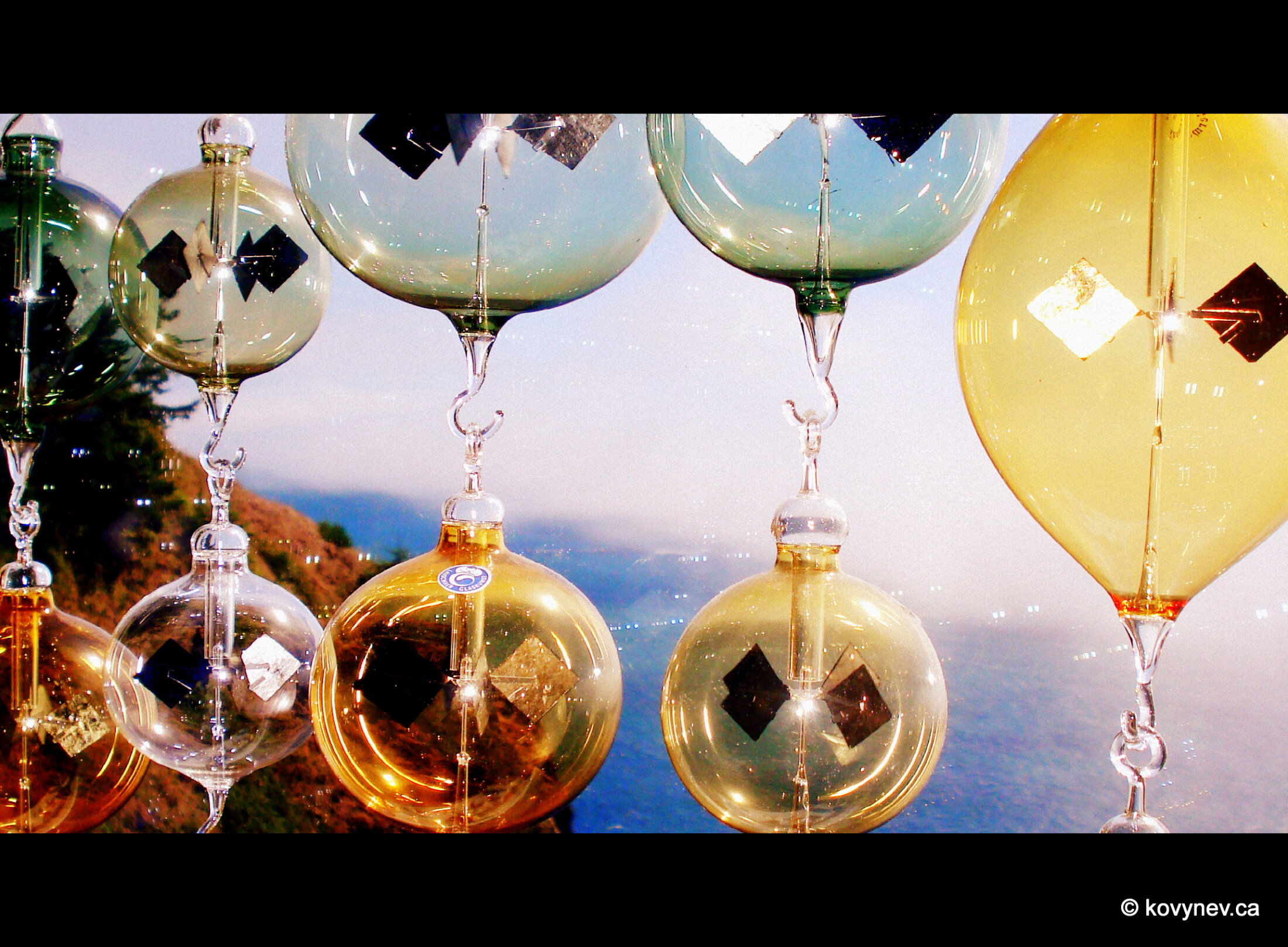
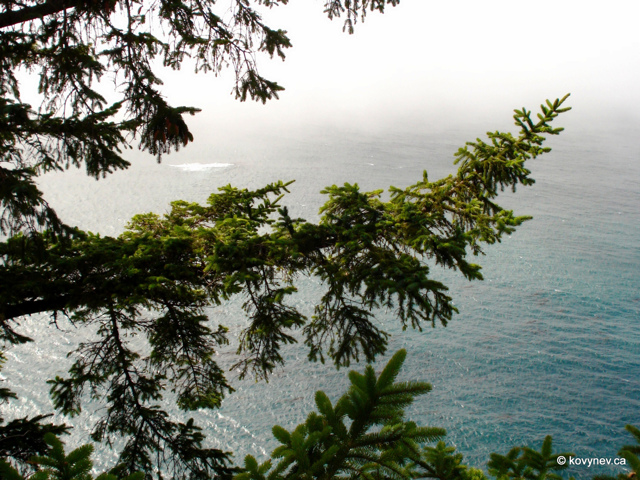
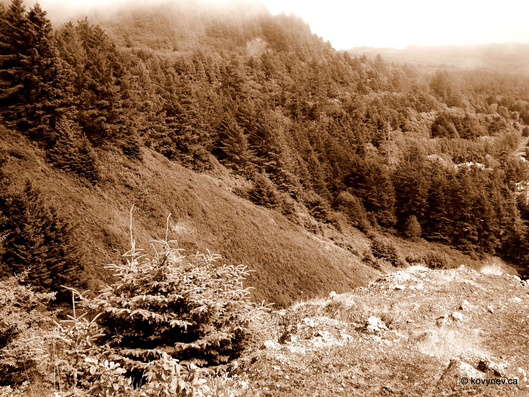
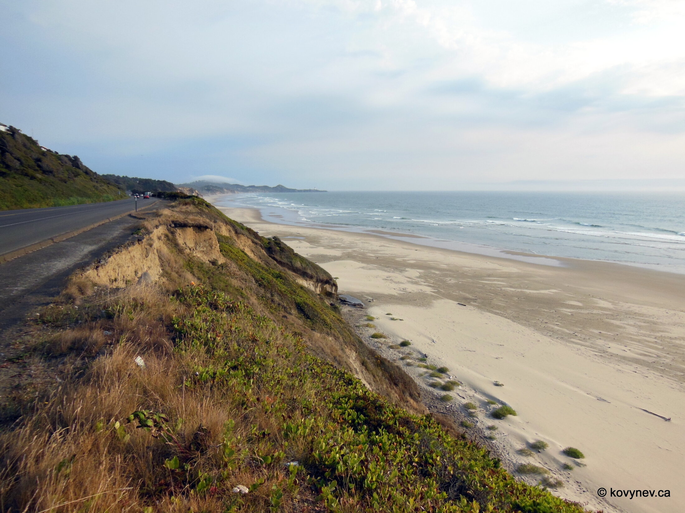
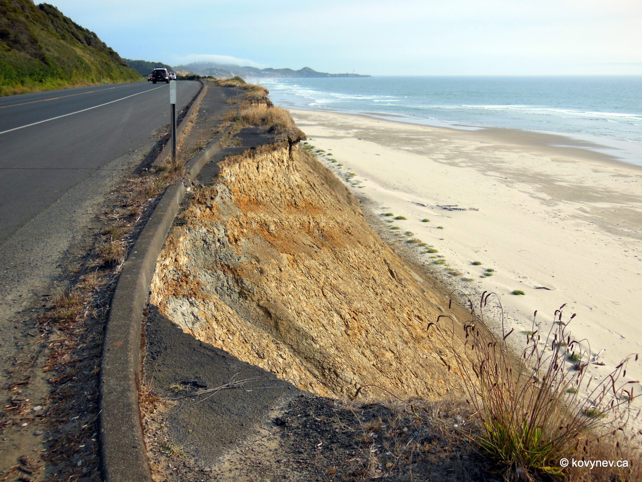
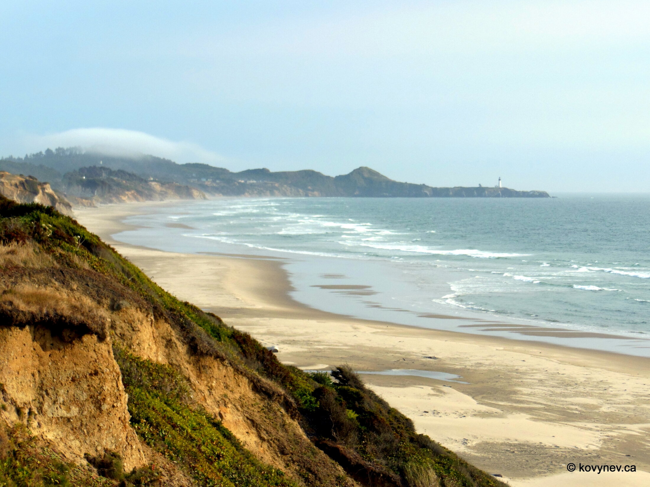
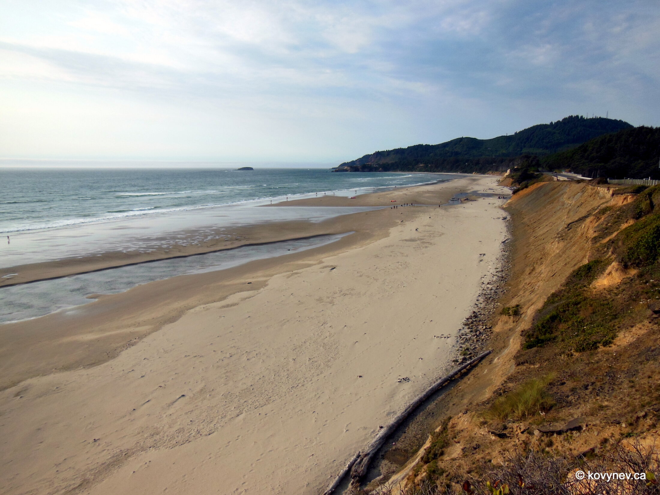
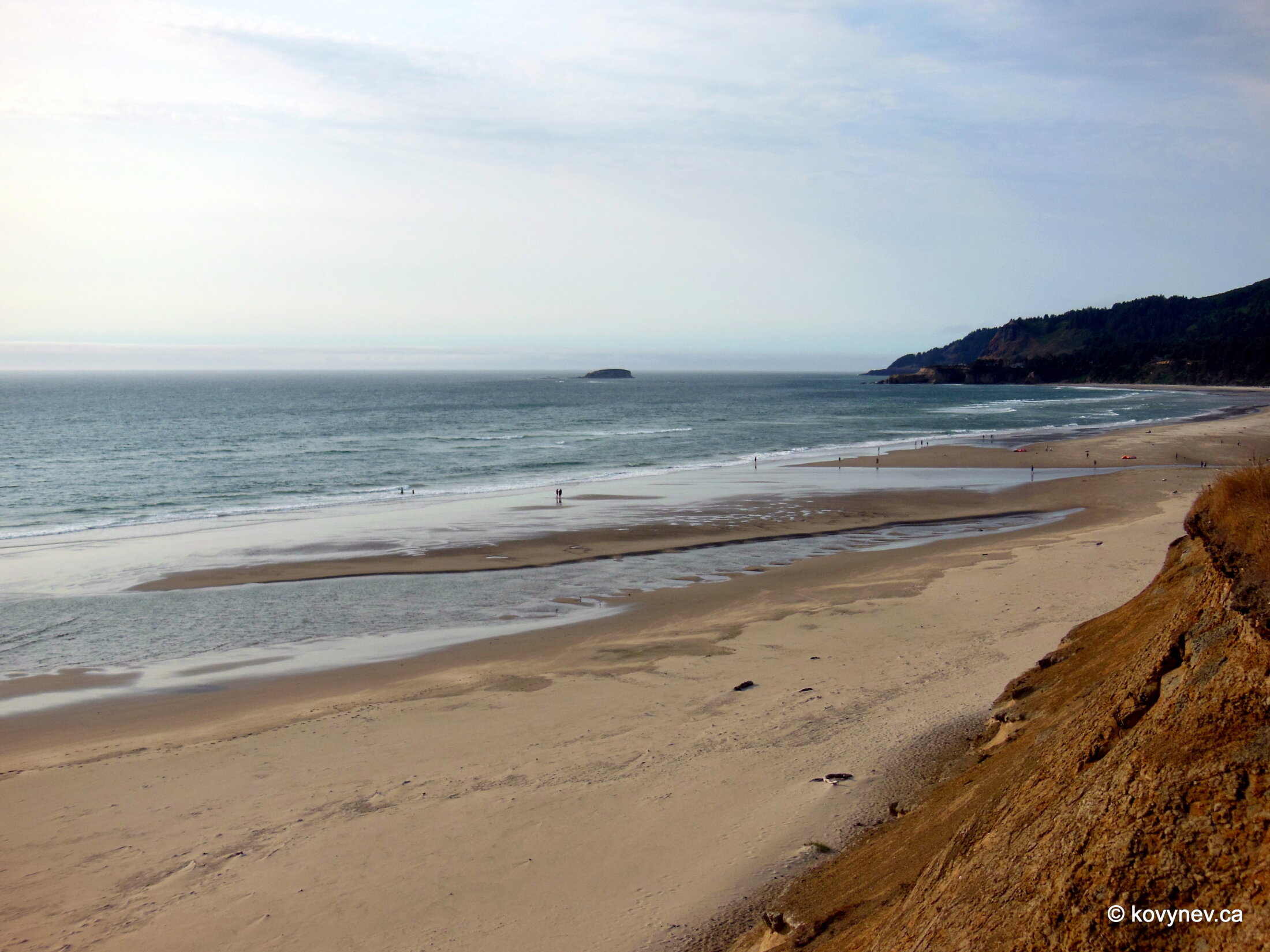
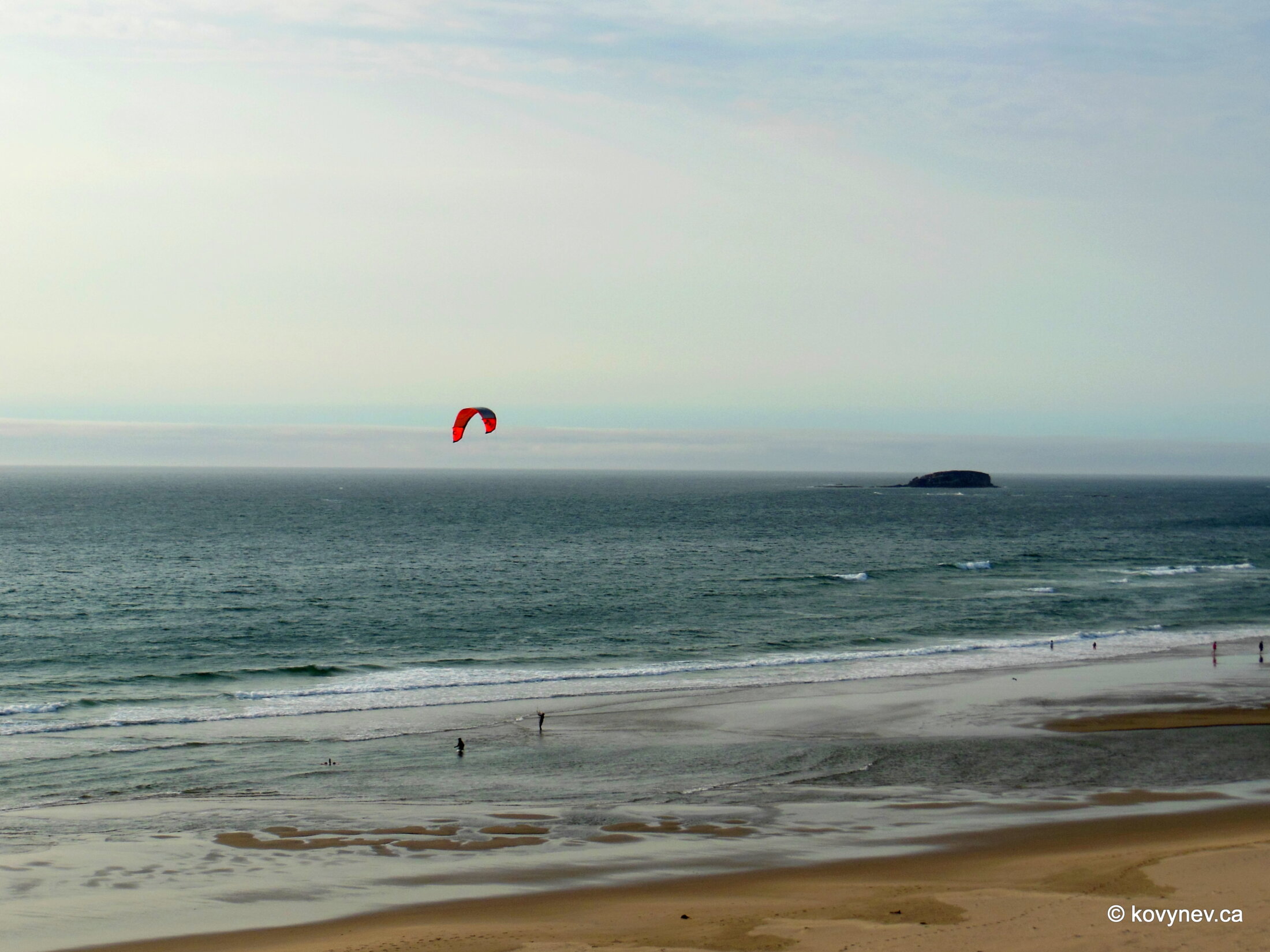
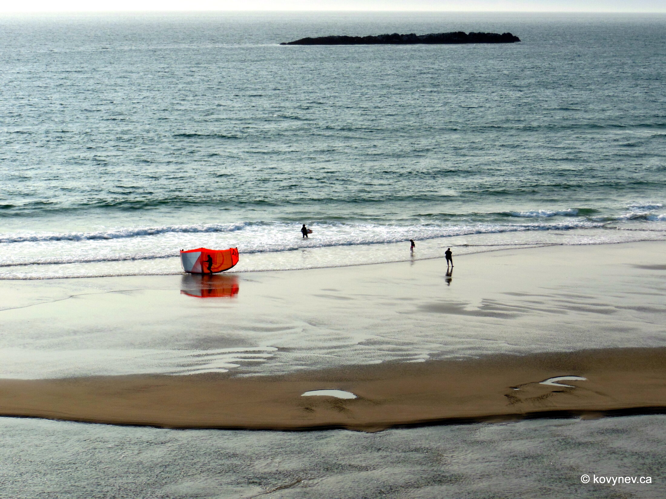
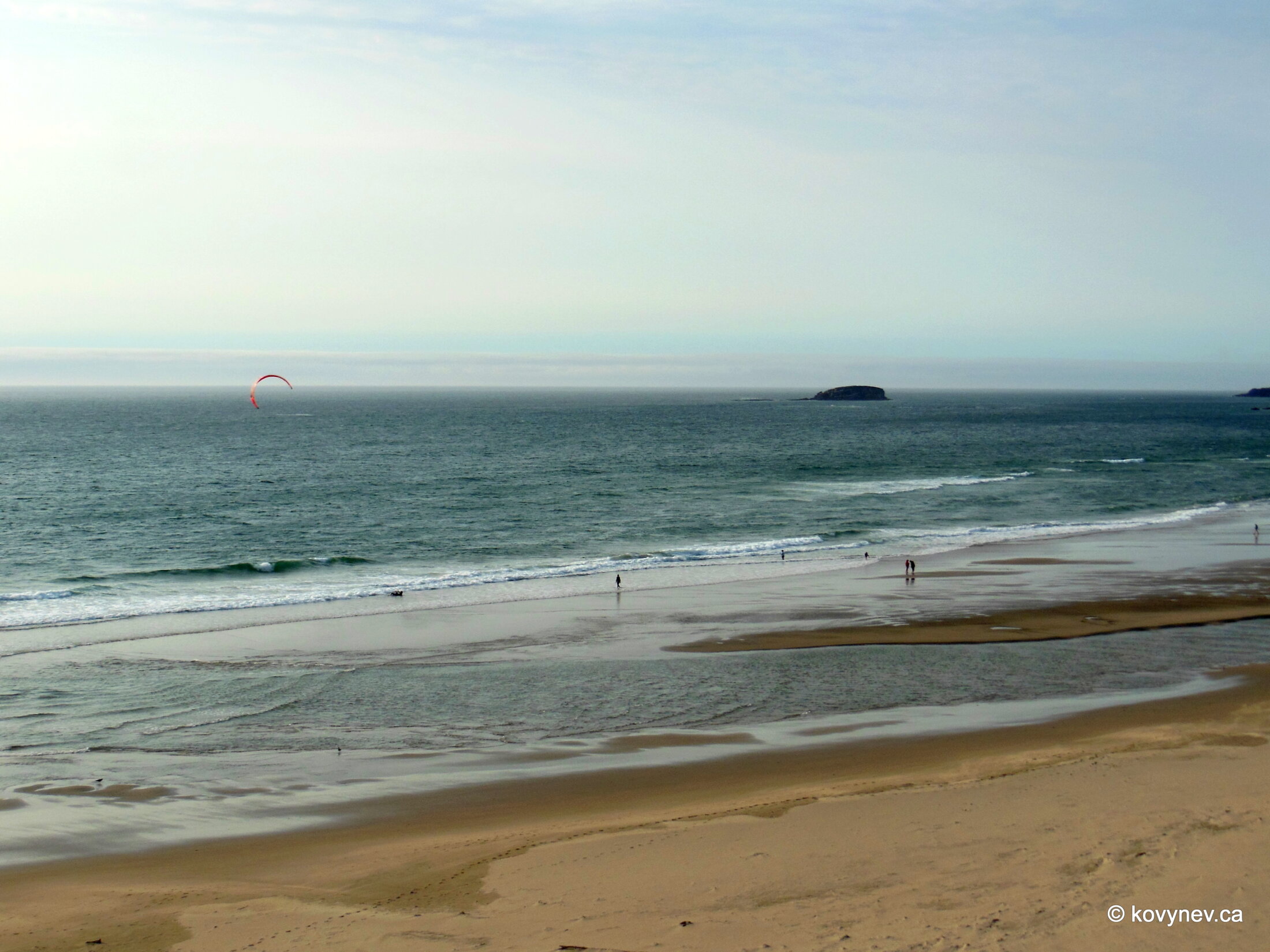
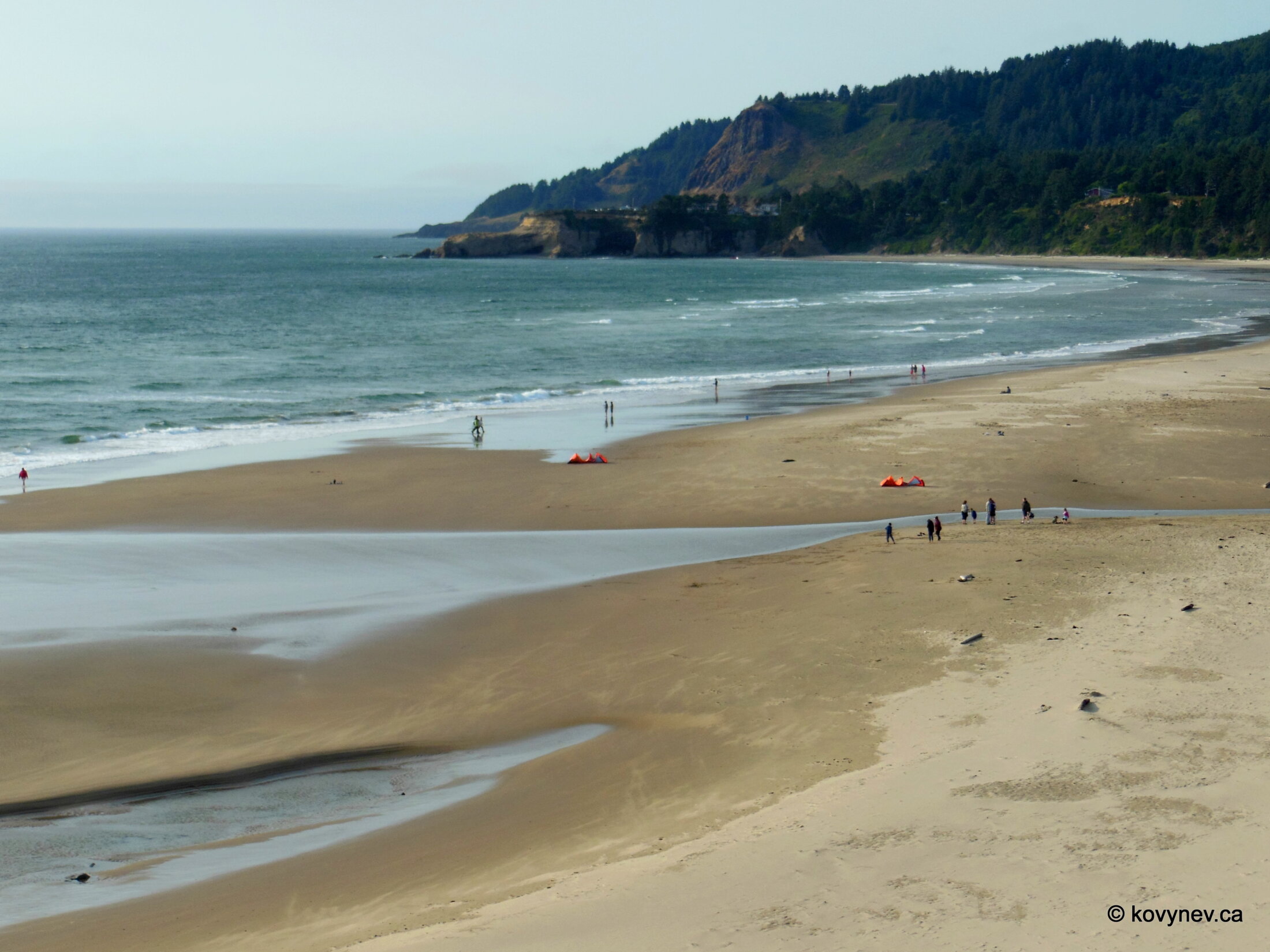
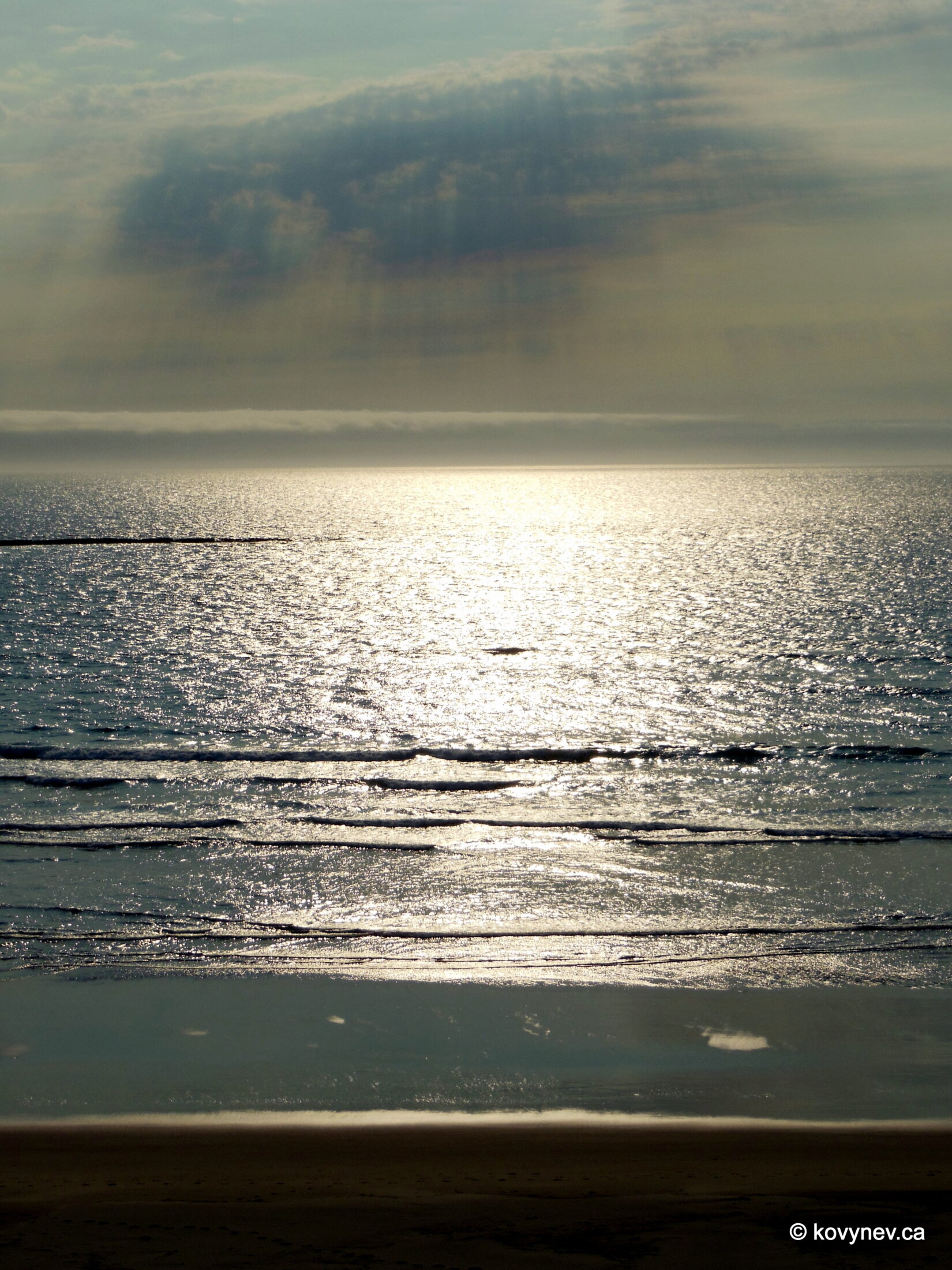
Half-way to Otter Crest, we are crossing Rocky Creek Bridge, another one of 13 bridges designed by Conde McCullough. Rocky Creek Bridge sits on the old Coastal Highway. When the traffic increased, this specific stretch of the road could not be widened, so they built the new Hwy 101 parallel to it, leaving this narrow road to local traffic.The first glimpse of the vista we will be enjoying from Otter Crest, from the car window. [It′s not a very low resolution pic. It′s actually a Photoshop filter, making it a work of art. 😊 As in "a painting".]Another "artsy" pic from the car.And here we are, at Otter Crest, a high bluff protruding into the ocean and commanding expansive views up and down the coast. Here, we are looking down, i.e., south.This area is famous for a thing called "Devil′s Punchbowl". It′s a big natural well right in the centre of the farthest of the two headlands here on the picture. The well got created when two adjacent caves collapsed. The "bowl", sometimes also known as "Satan′s Cauldron", is partially opened to the ocean, which lets the waves enter the well during the high tide, and churn and swirl, making it look like a cauldron with some foul potion being concocted.During the low tide, the "bowl" is accessible from the little beach you can see in this picture. I didn′t bother going, mostly because right above the cauldron, there is a restaurant famous for its chowder, so I was more interested in that. 😊 Looking right down from Otter Crest, which rises 150 m above the sea level.And this is a look to the north, to a row of little coves making up the rugged coastline between here and Cape Foulweather, the headland far back, shrouded in mist. The cape was named by Captain James Cook in 1778, during his exploration of Pacific Northwest. We can safely bet, the weather was not nice that day. Cape Foulweather, more clearly visible here, was the first geographic location named by Captain Cook in this part of the world.The cheery little white building right on the edge of the cliff is, in fact, a gift shop. Well, there is a cafe as well, but... it′s a gift shop.A few pics from inside the shop, with Cape Foulweather making a very dramatic backdrop.And a couple more pictures from Otter Crest, before we move on.Our next stop is Beverly Beach. There is a town of that name on the other side of the road, but we, obviously, are more interested in the beach itself.The beach is stretching all the way to Newport.That big and long promontory with a lighthouse at the end of the beach is called Yaquina Head, and this is where Newport is located.Looking in the opposite direction, towards Devil′s Punchbowl. The beach stretches for 8 km between Devil′s Punchbowl and Yaquina Head.Such a vast empty space, fully exposed towards the ocean, without any obstructions to break the winds, is heaven for surfers. And they definitely take advantage of it.Taking the last shot at Beverly Beach, and moving on to Newport.Press ESC to exit