The title of this gallery is a bit of a misnomer. There is not much of Astoria, the first Oregon city on the border with Washington if you travel along the coast. To my shame, I passed Astoria several times, but never actually stopped, too eager to get to the “real” coast. One day I will definitely remedy this oversight. But what you get in spades in this gallery is the bridges, at least one of them. To cross into Oregon from Washington at this point, you need to traverse the huge estuary of the Columbia River where it flows into the Pacific Ocean. It looks more like an ocean gulf than a river mouth, and it takes two long bridges to cross it from one shore to the other, with Astoria sitting between them on a small peninsula.
And another little disclaimer. Pictures in this gallery were taken on two occasions – in June, 2009 and September, 2024. On both those days it was overcast and rainy. (I doubt, if there are ever any days in this area when the weather is different…) So, the pictures are a bit on a gloomy and dim side, unfortunately.
NIKONCOOLPIX S9300 22mm
/ 5.7
/ 10/1000s
/ ISO 125
Created: 125
Uploaded: 125
Likes: 125
Views: 125
Comments: 125
-1
-1
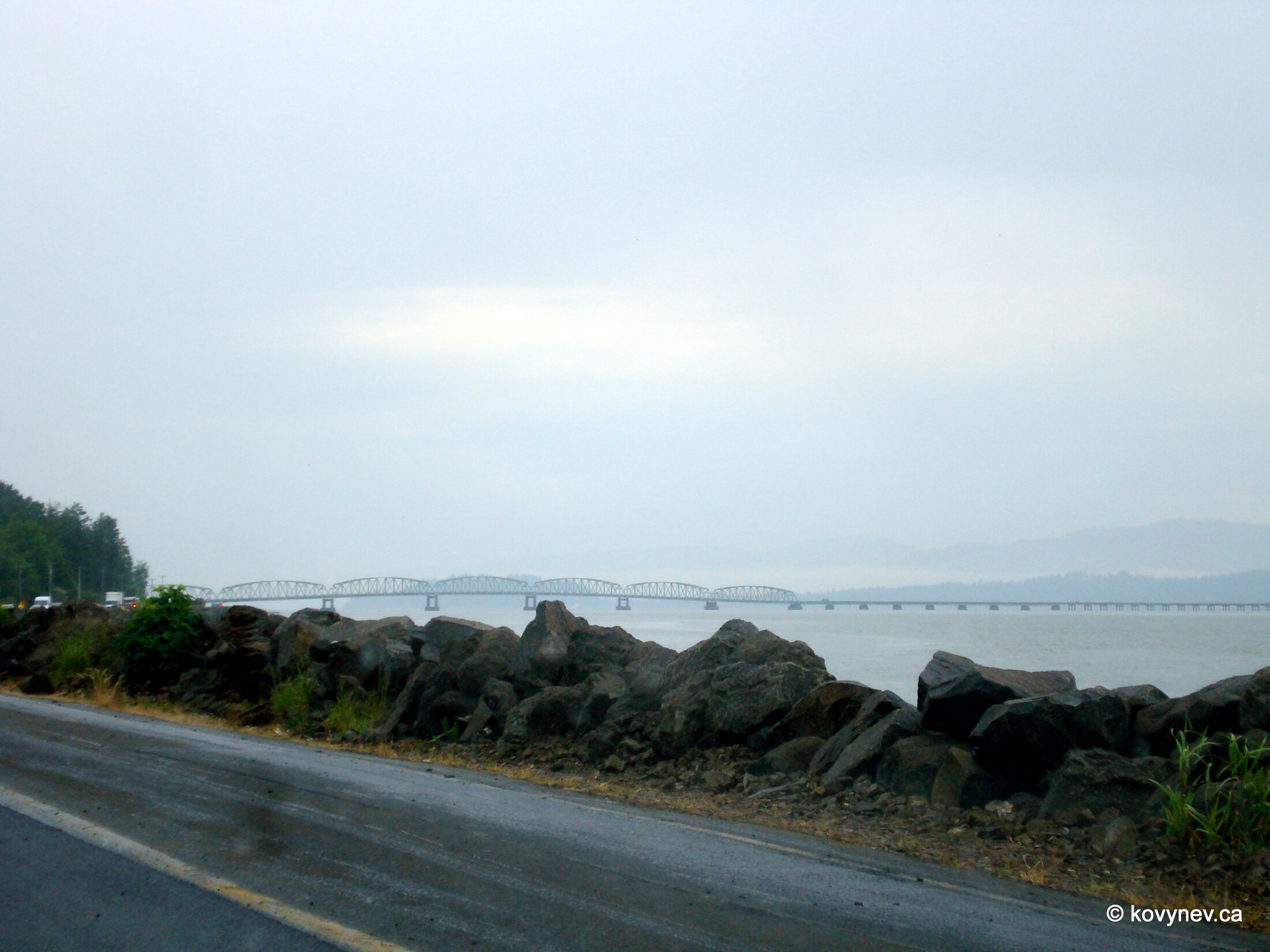
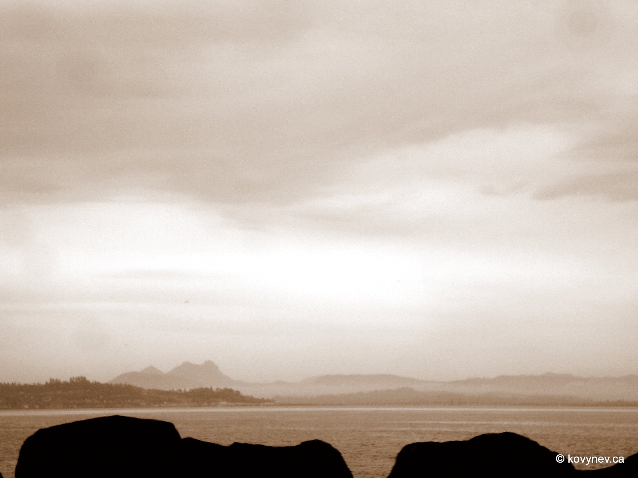
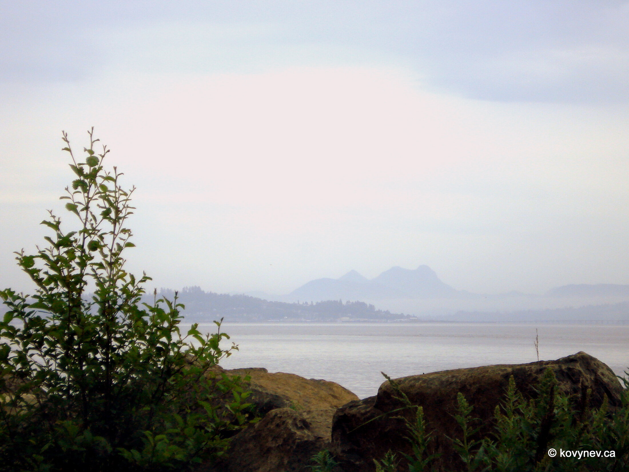
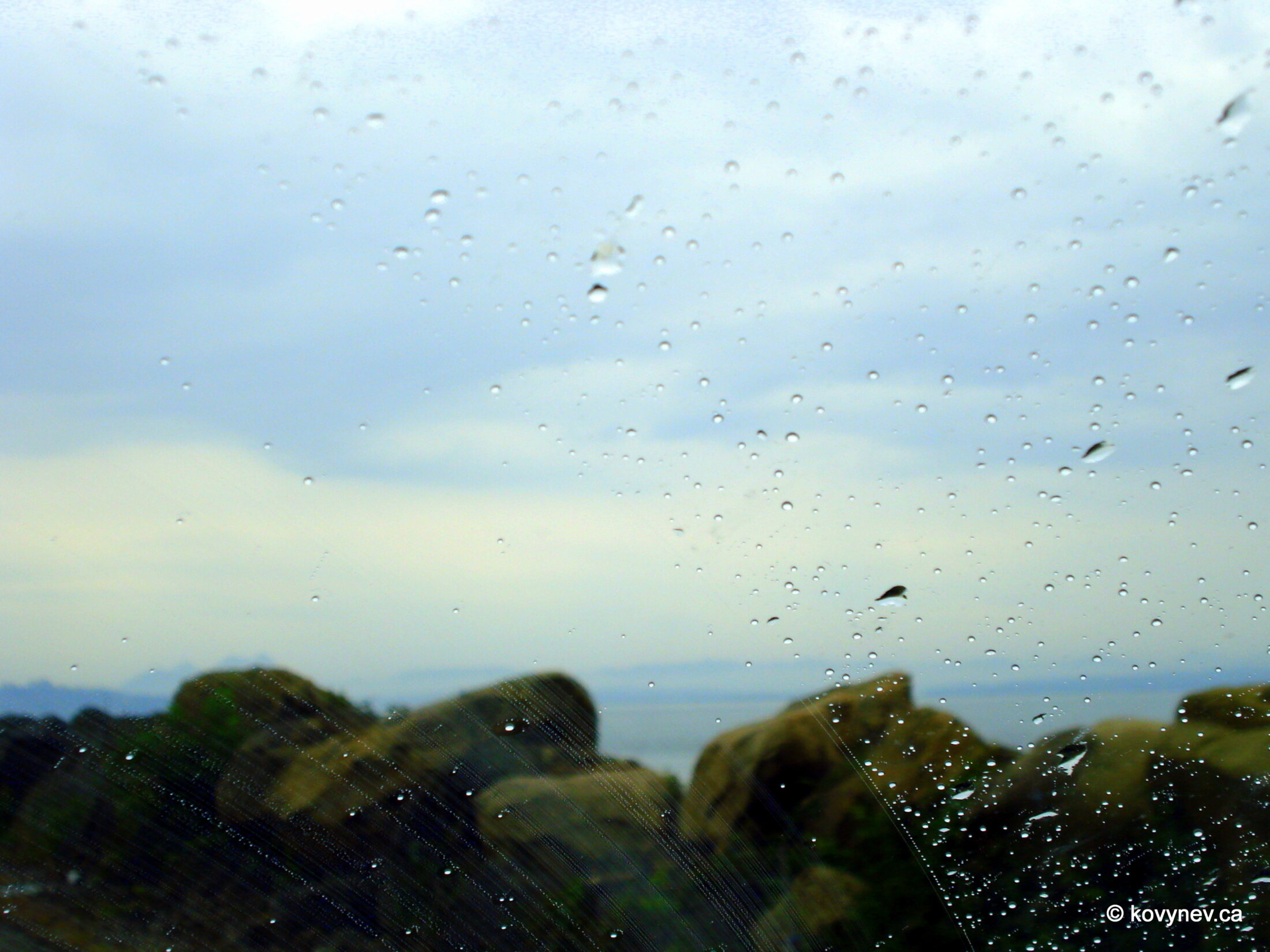
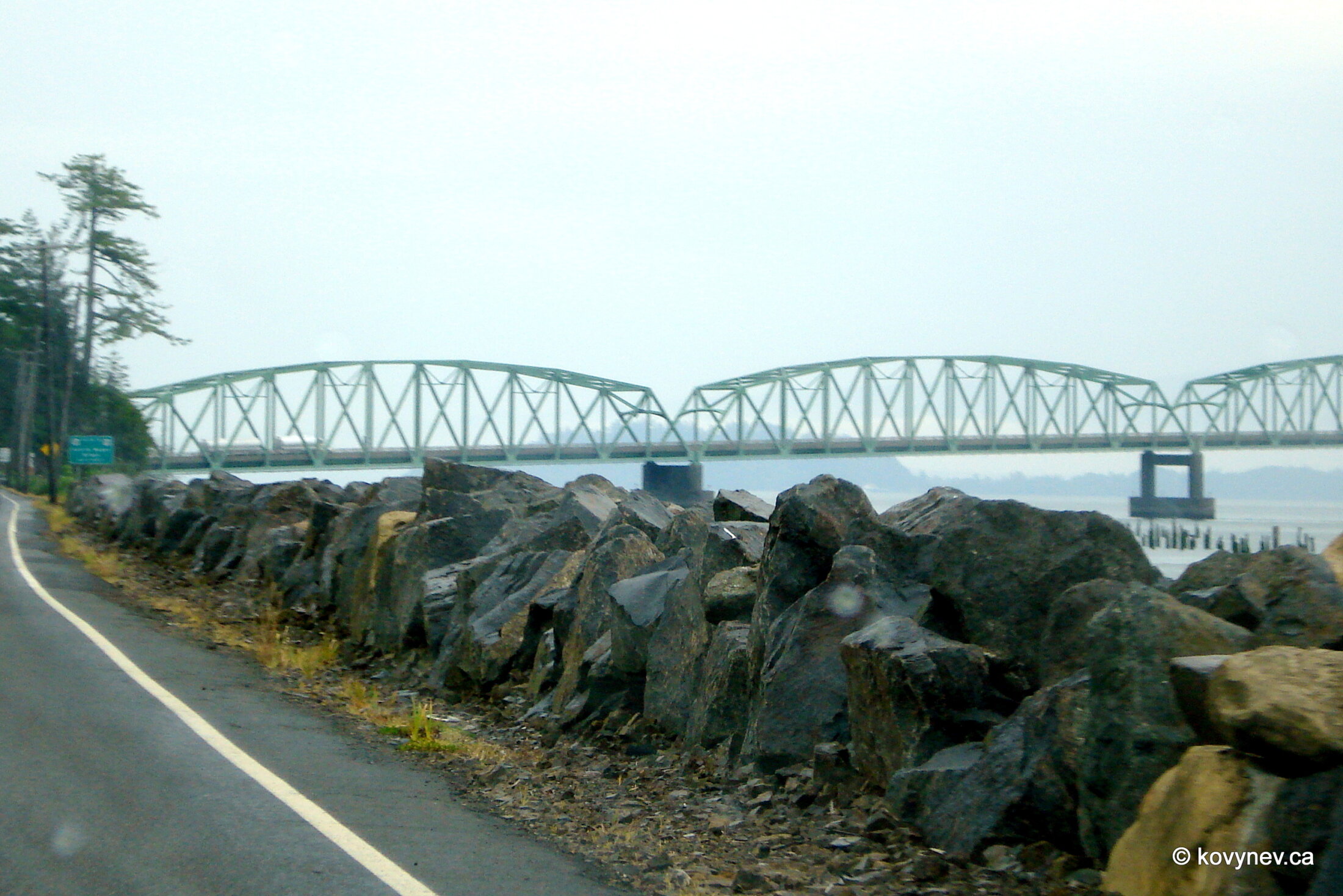
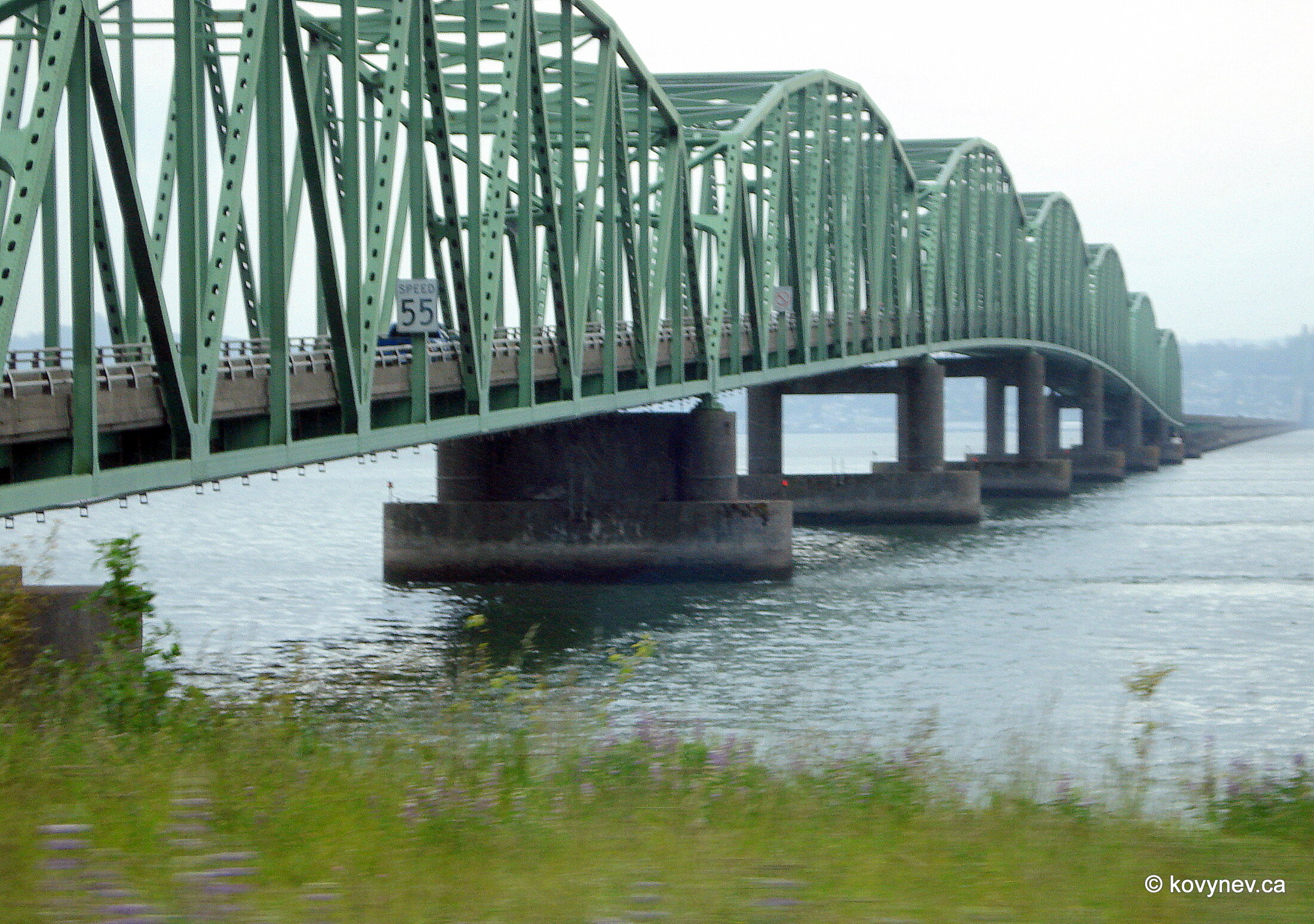
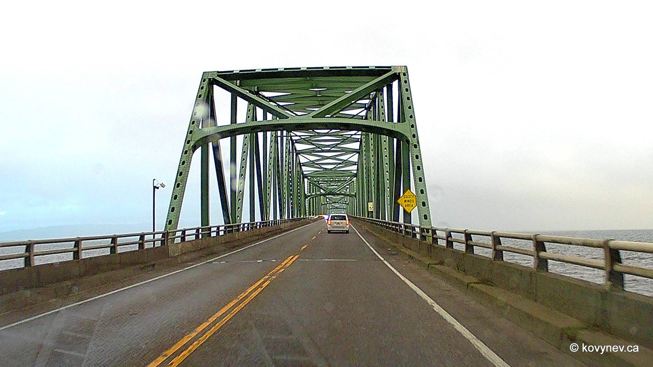
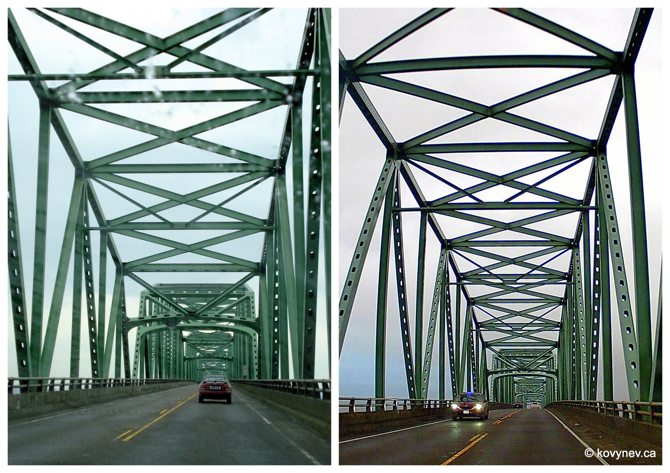
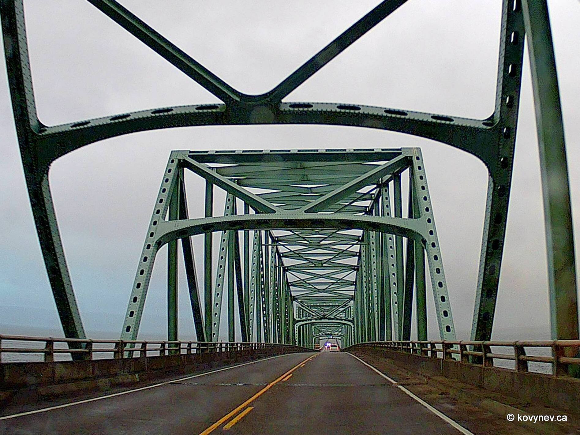
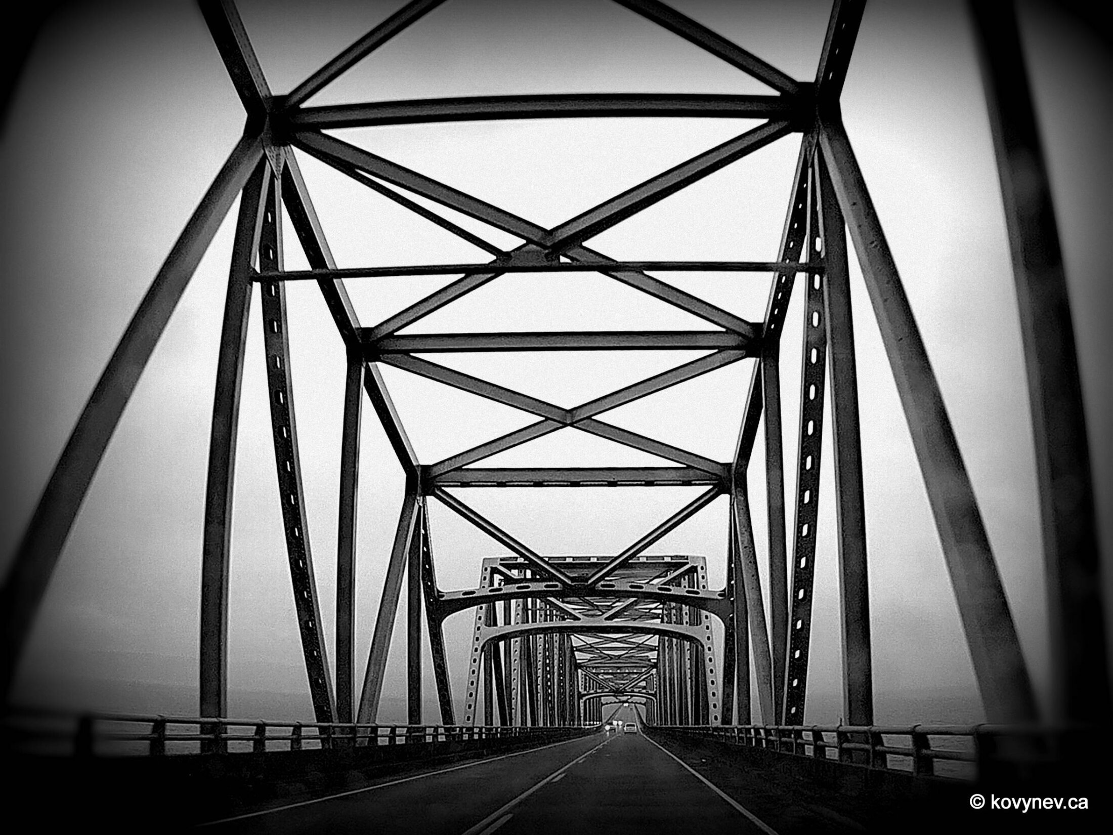
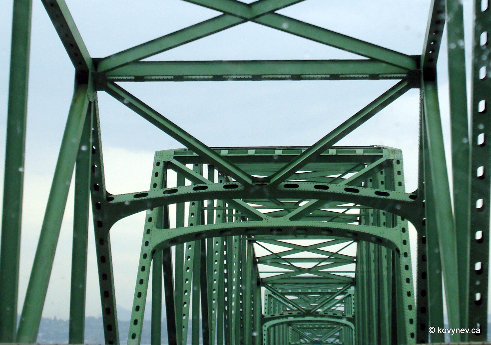
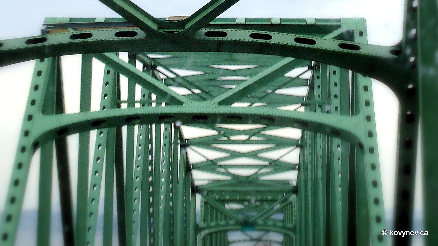
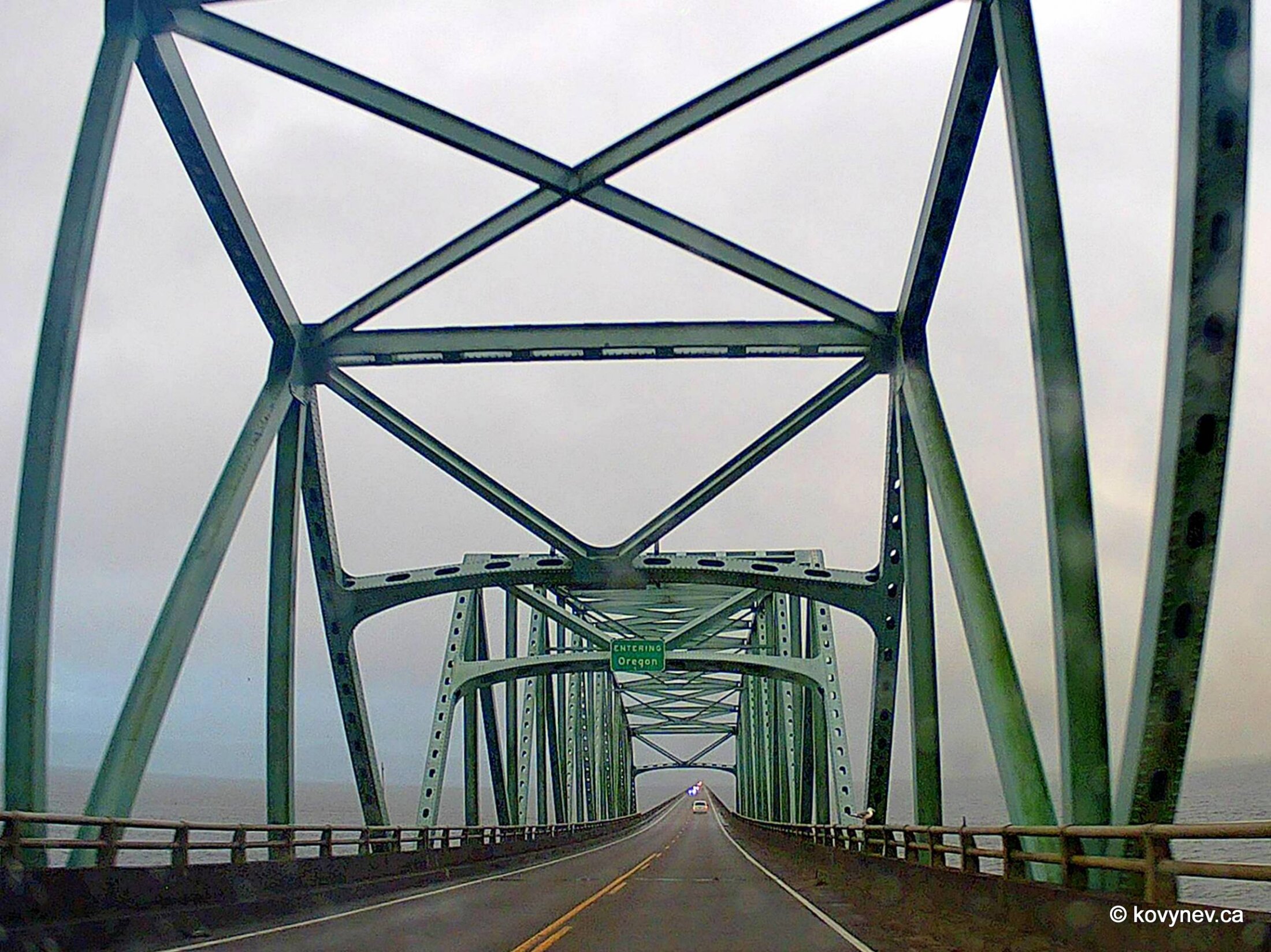
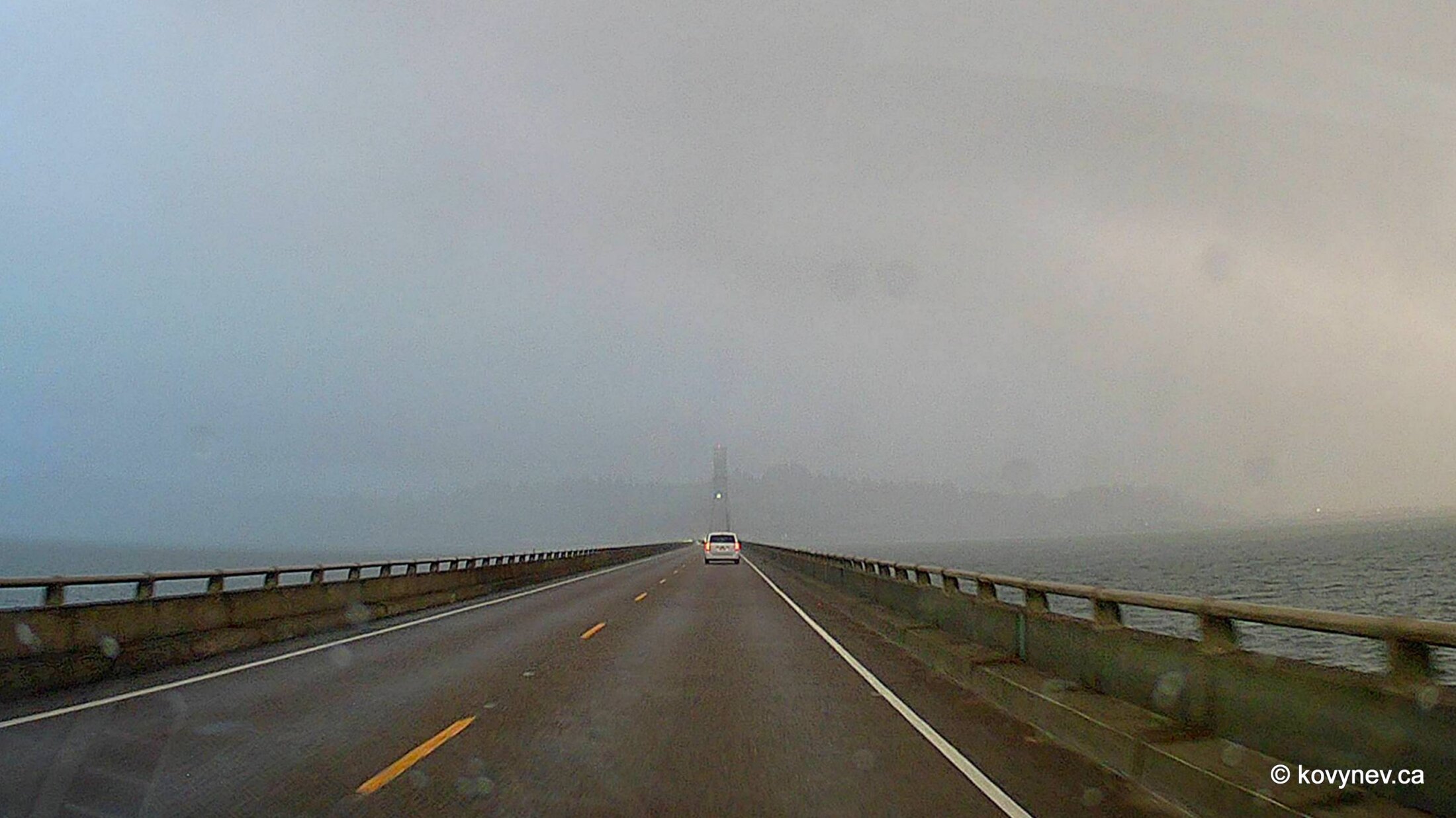
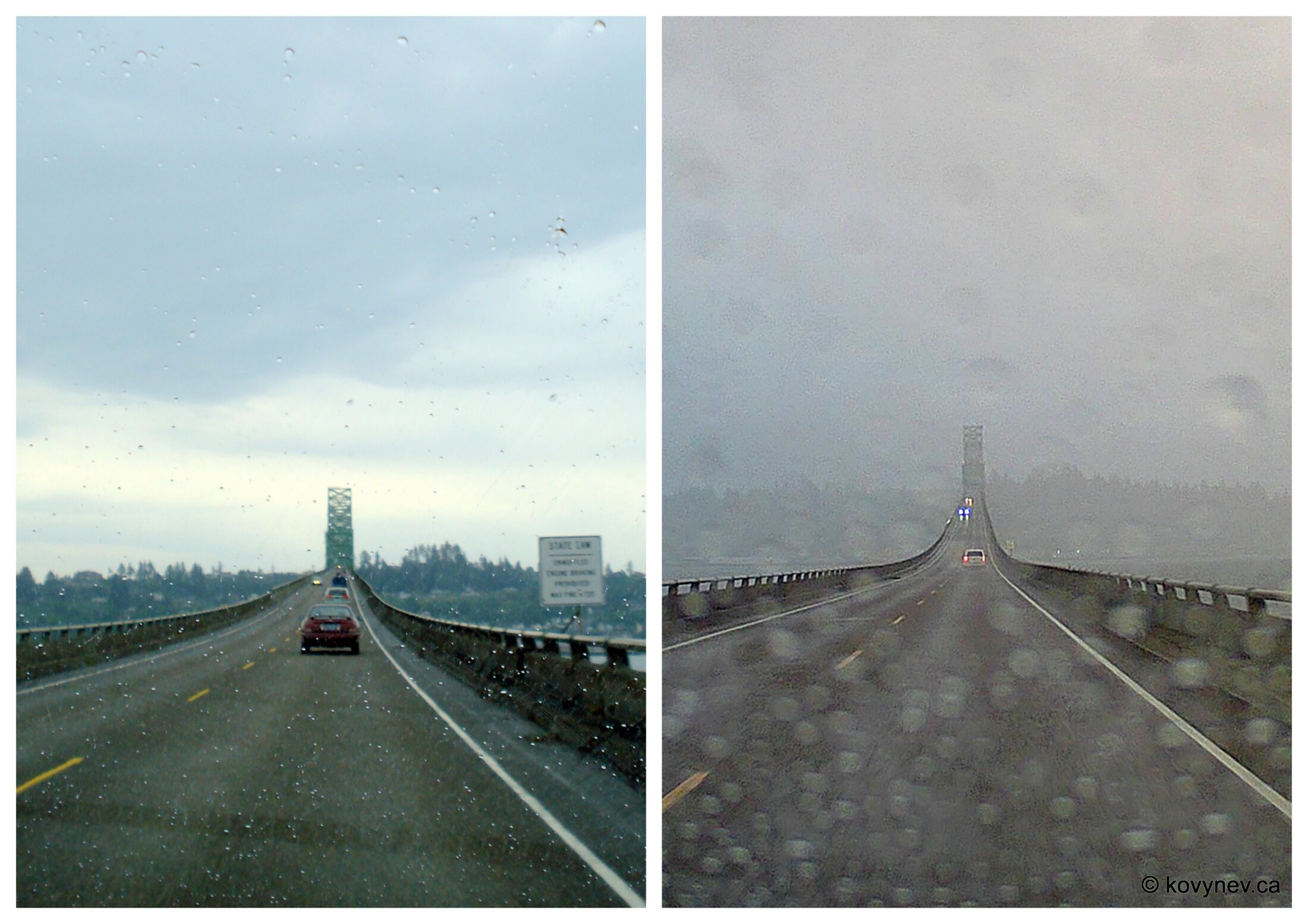
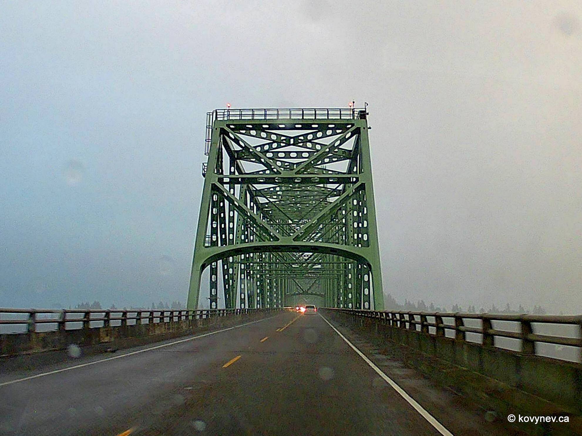
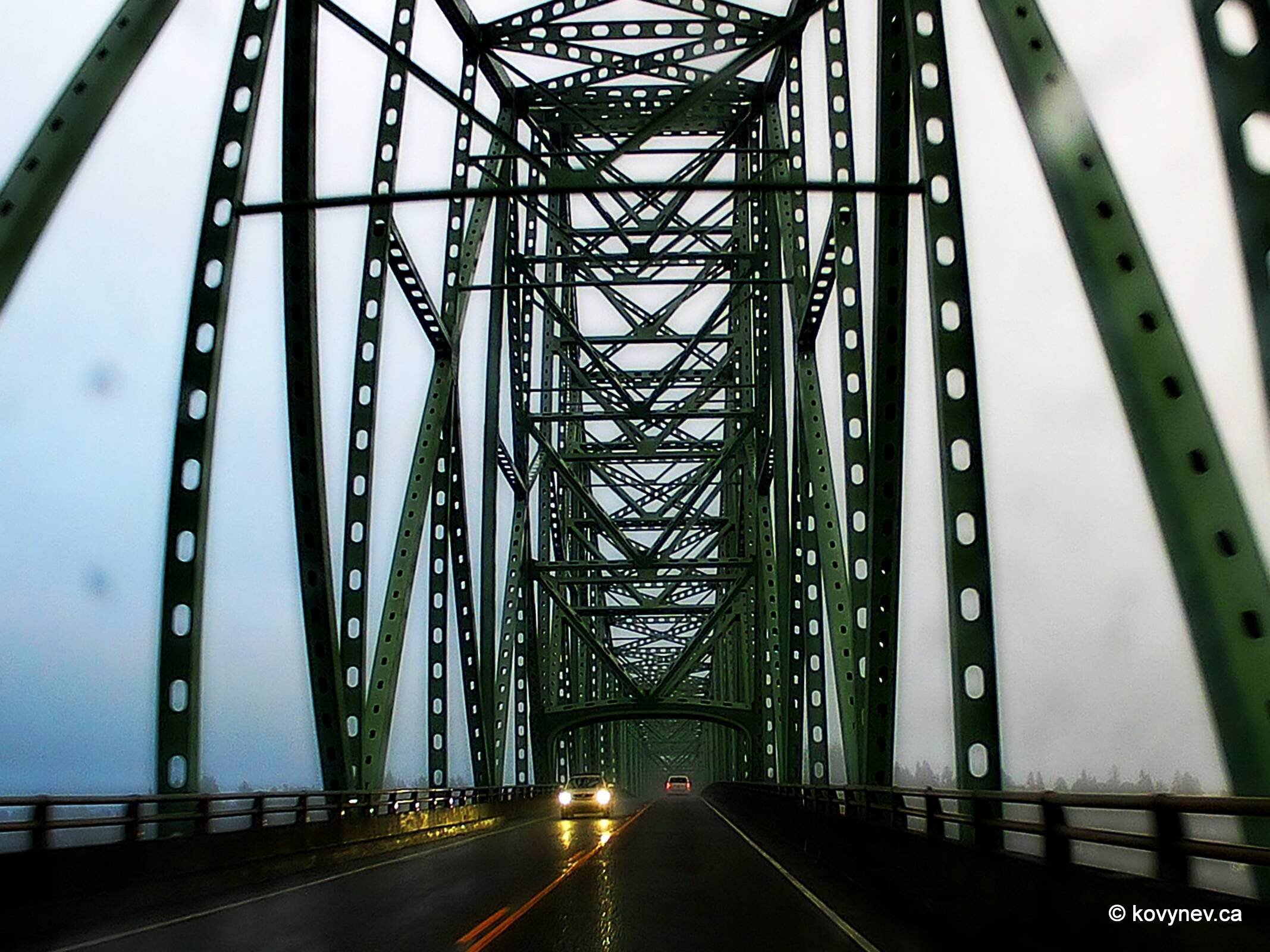
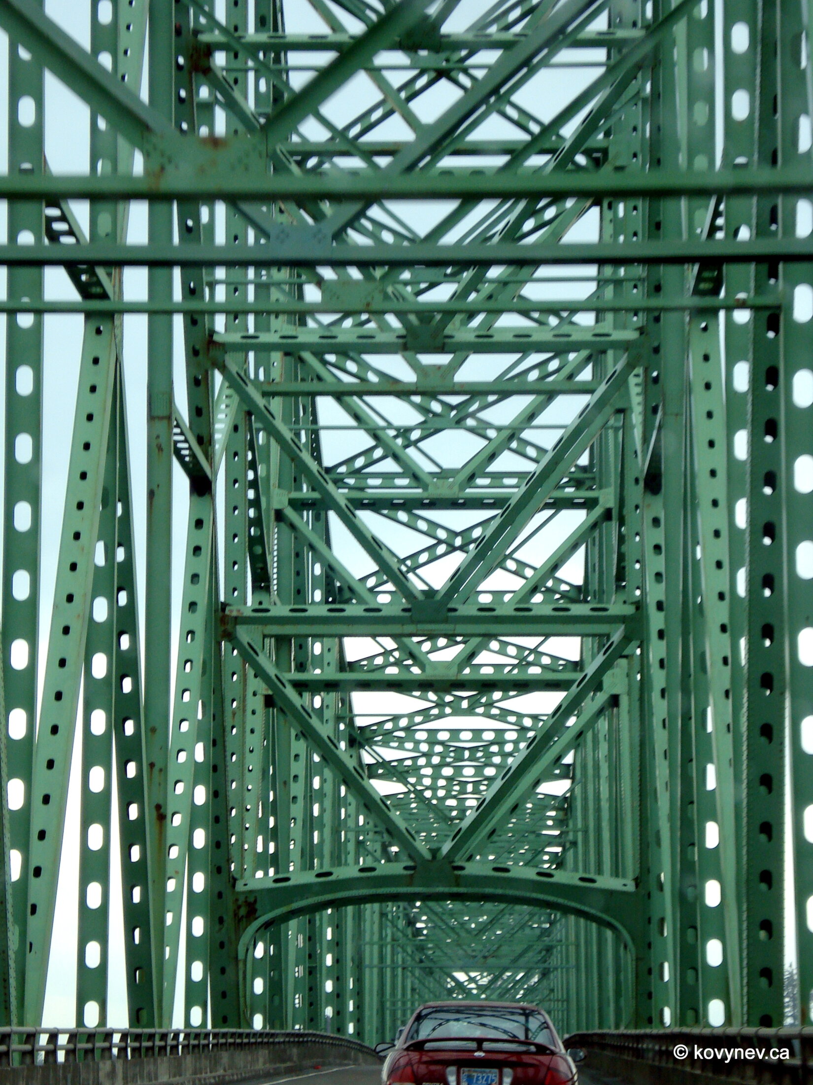
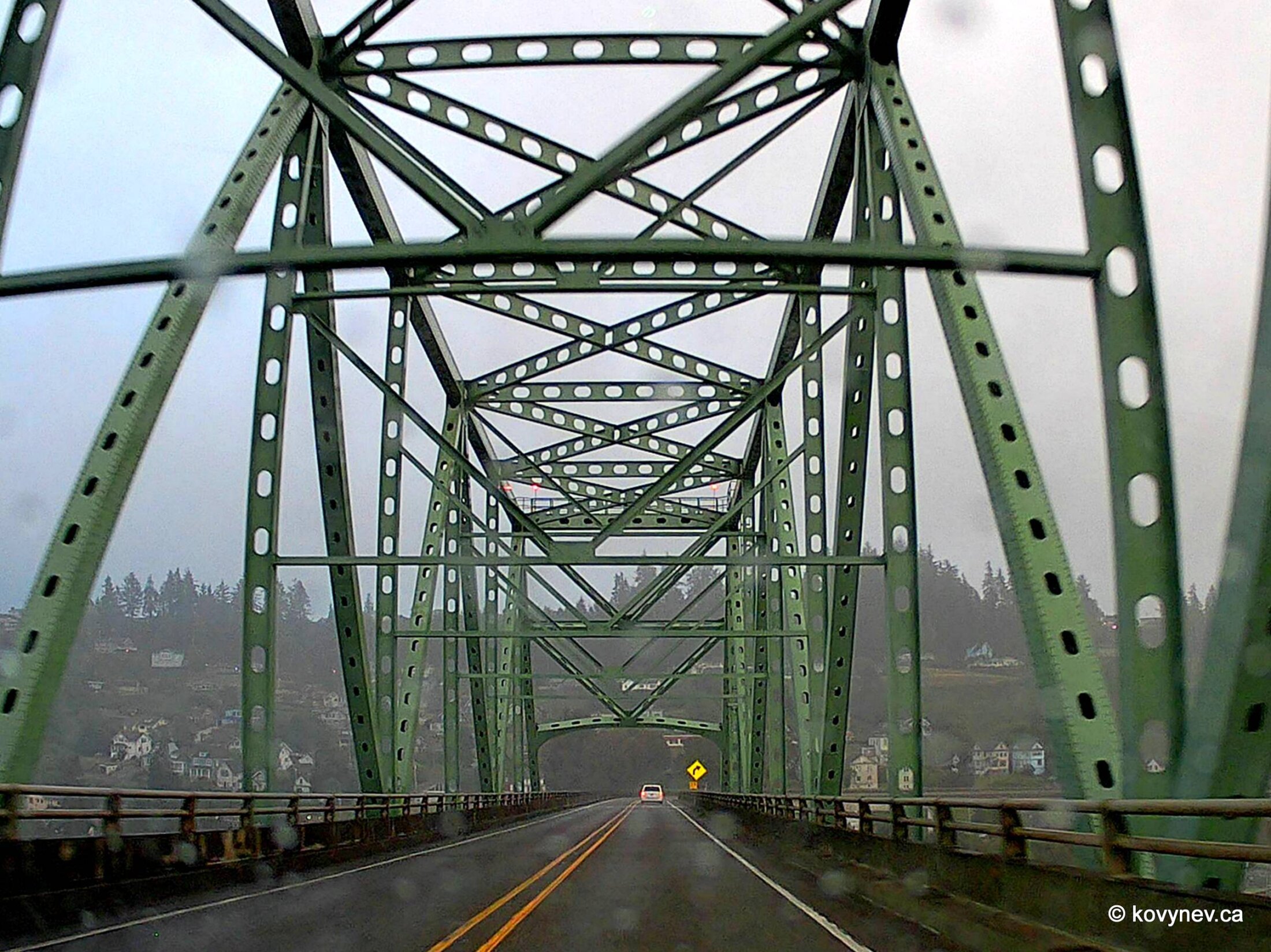
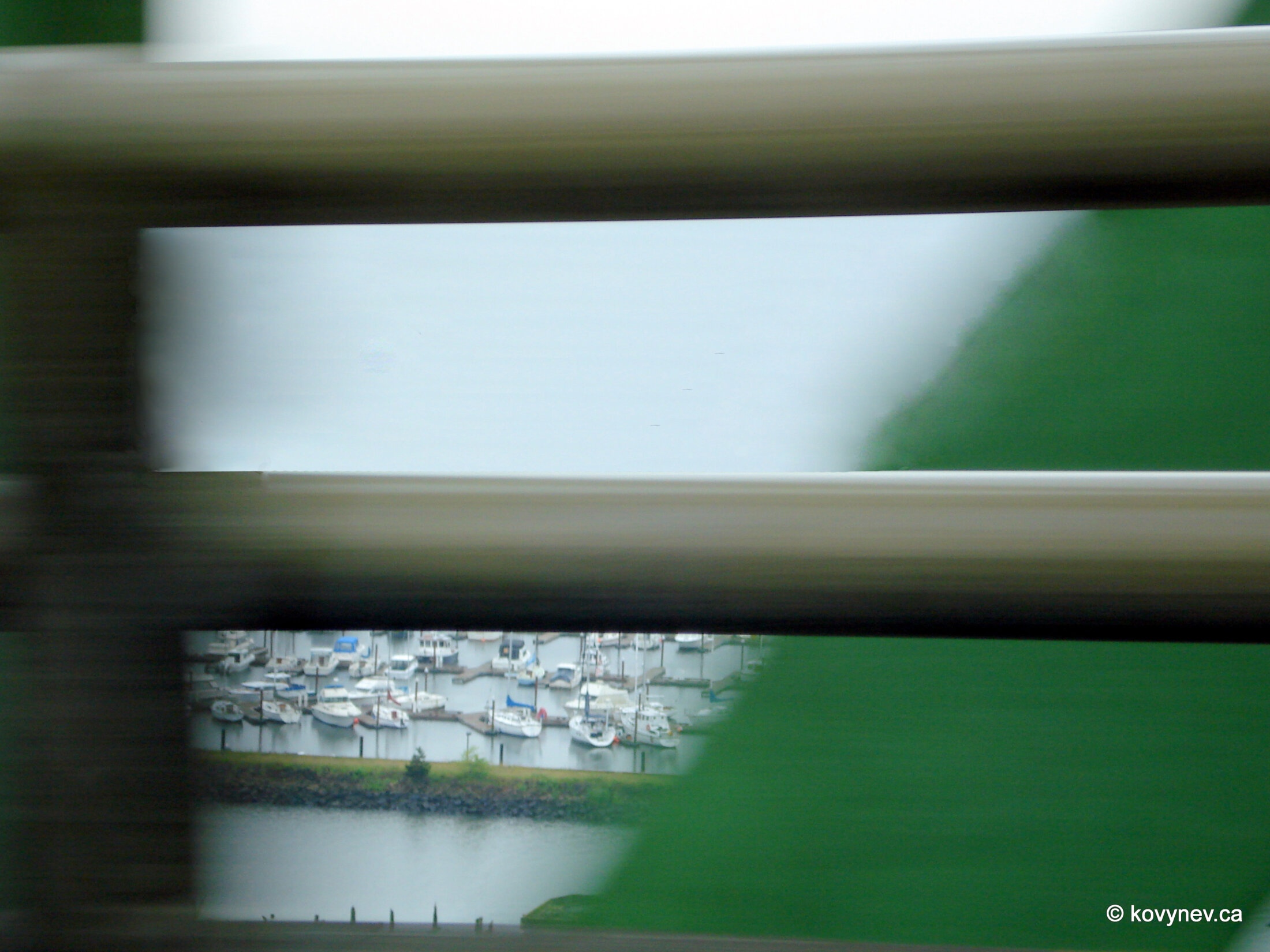
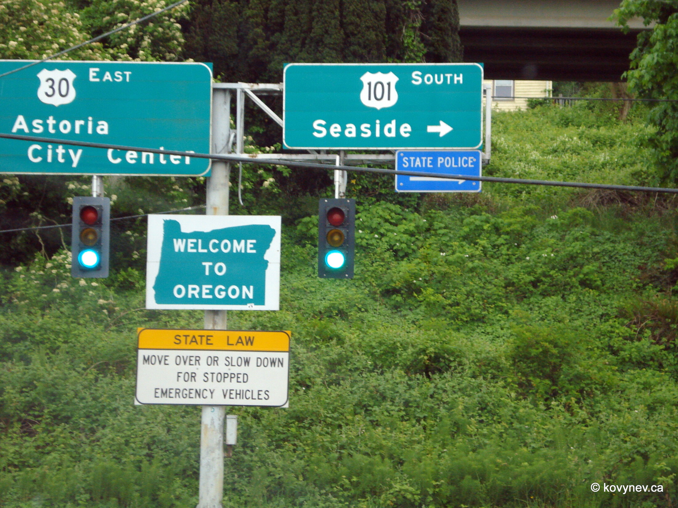
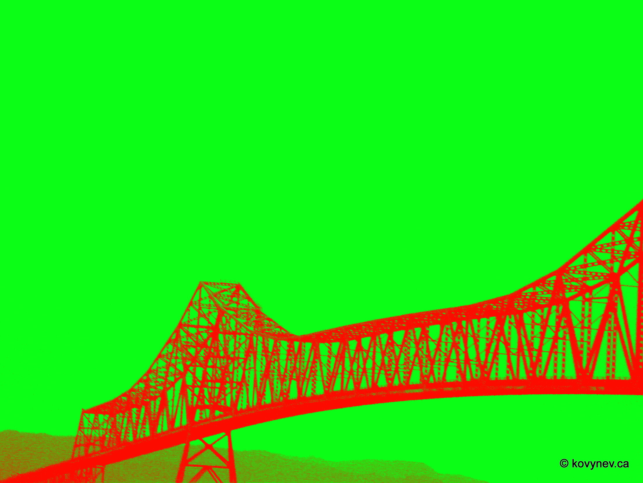
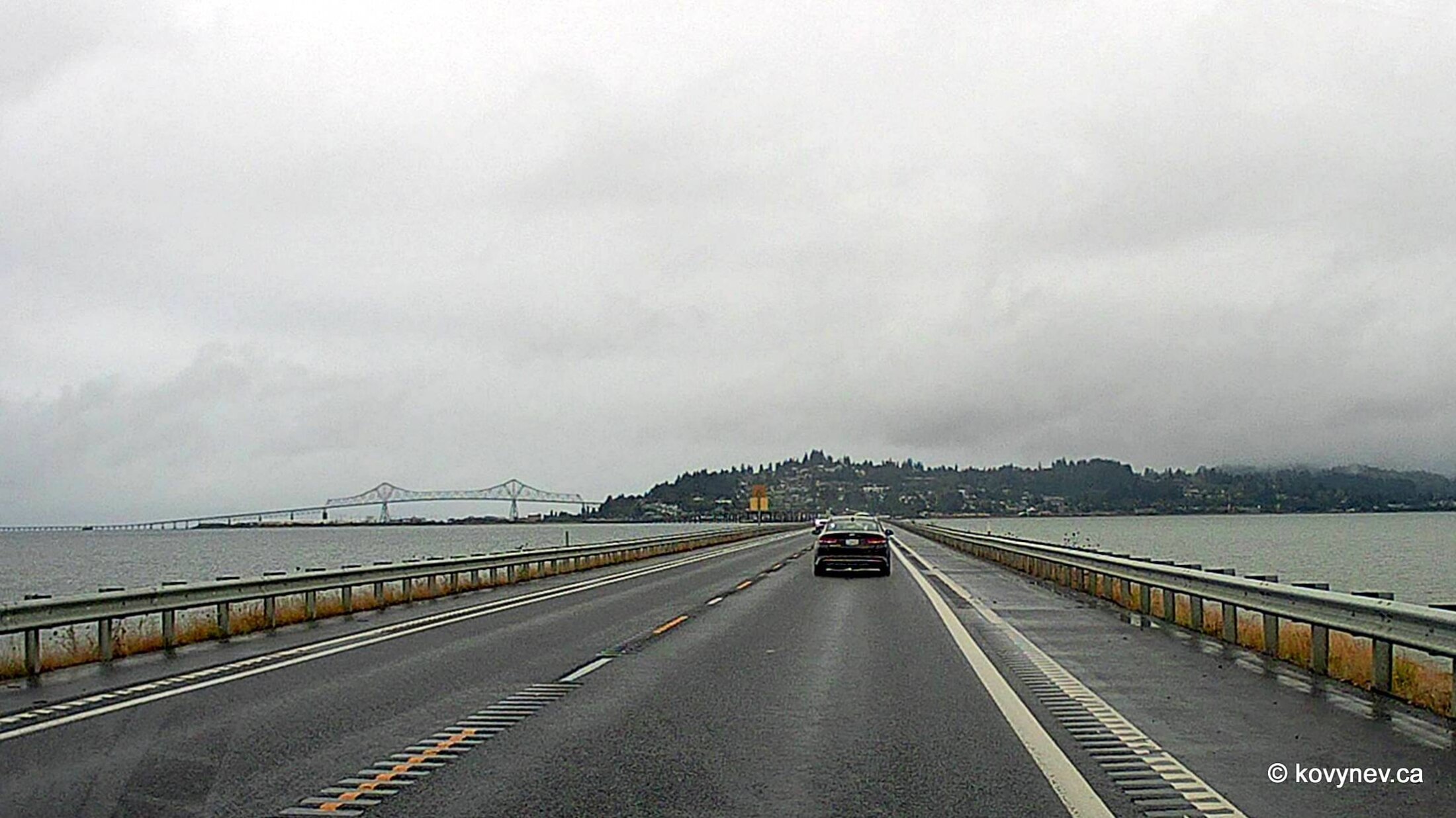
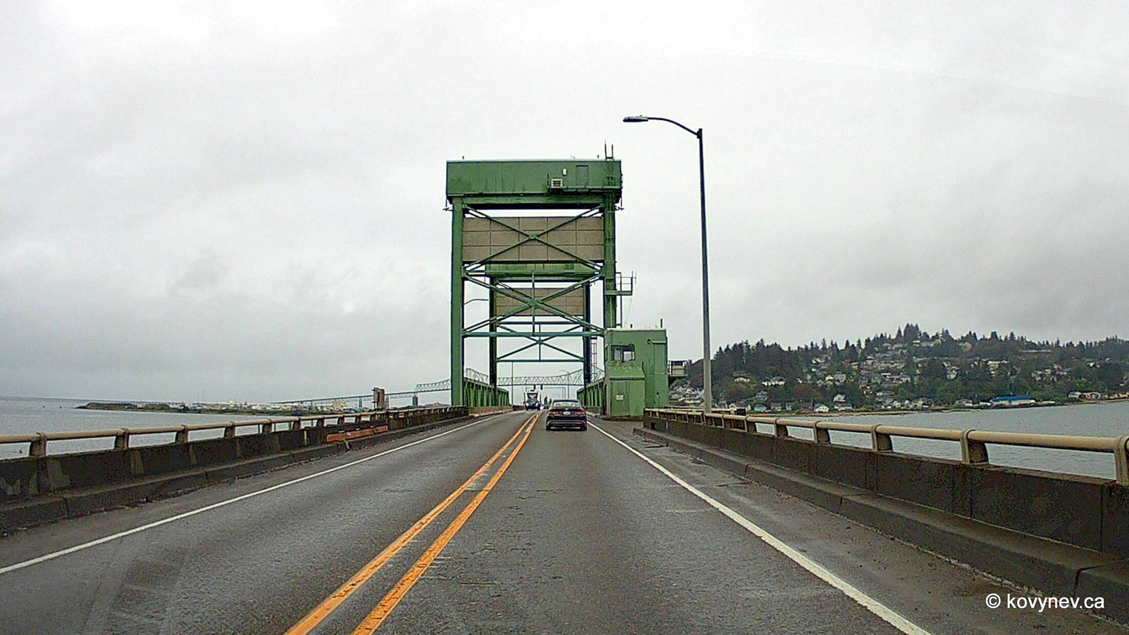
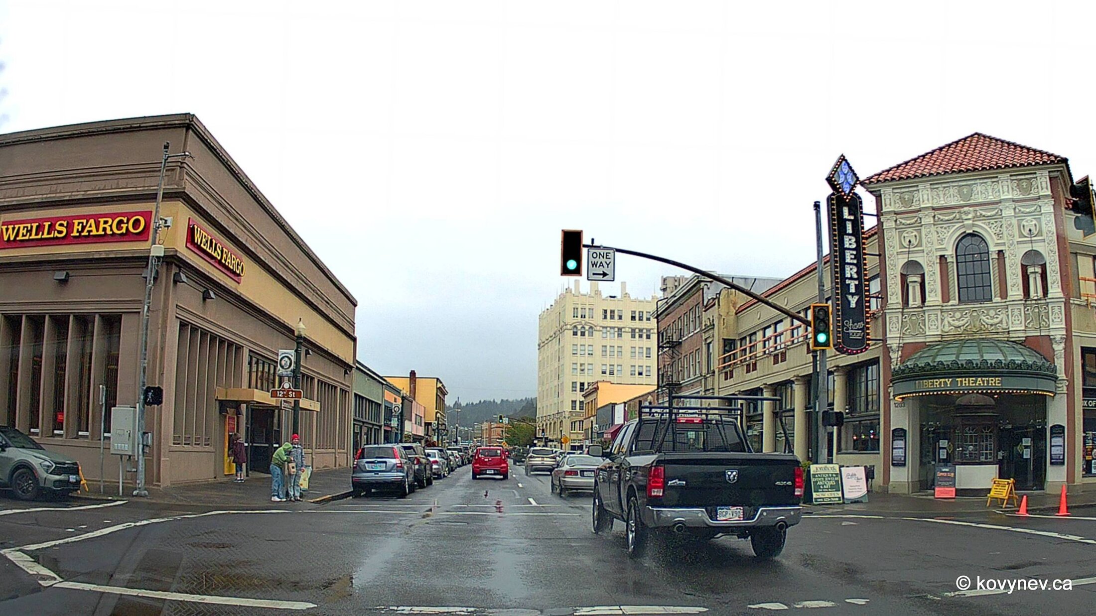
Here we are closing on Astoria–Megler Bridge, the first of the two bridges, connecting Astoria with a place called Megler on the Washington side. Hence the name.The Astoria-Megler Bridge seen from the other side from Megler, farther to the west, still in Washington though.The view of Astoria at the other end of the bridge, through the mist of a rainy day. The view of a small peninsula formed by the confluence of Columbia and Youngs rivers. The mountain at the very back is Saddle Mountain, the tallest peak of the Oregon Coast Range, which stretches from here all the way to California along the coast.[A very artsy view through the car windshield.]Those steel trusses I mentioned before are getting closer, ... ⇨⇨ ... closer, ... ⇨⇨ ...and here they are![A collage made of the shots from the approx. same point in 2009 and 2024.]Now, let′s just enjoy the ride through the trusses, which create a quite mesmerizing picture when driving through them.The sign "Entering Oregon" somewhere in the middle of the river.Once out of the first set of trusses on the Washington side, the bridge becomes very mundane and unassuming, until it reaches the trusses on the Oregon side. On the right image, it is very visible that the section of the bridge on the Oregon side is elevated, to let watercraft pass under it. [Another collage of 2009 and 2024 pictures. There isn′t much difference in the weather, as you can see.] Trusses again. [It wasn′t THAT gloomy that day. I just played with Photoshop a little here.] Astoria is peeking from behind the bridge. The city is named after John Jacob Astor, one of the first American tycoons. His fur-trading company founded Fort Astoria here in 1811.Almost there. The length of the bridge is 4 miles (6.5 km), so it will take you 5 mins to cross it at the normal speed.[Just a pretentiously creative pic of a marina on the Astoria side.]Welcome to Oregon. We are turning right, towards Seaside.That′s how the Astoria-Megler Bridge′s trusses on the Oregon side look like. As opposed to the round arches on the other side.[A bit of Andy Warhol for you.]And don′t forget, there is another bridge - New Youngs Bay Bridge, crossing the estuary of the other river - Youngs. It′s nothing really special, less than a mile long, but it gives you a nice view at the Astoria-Megler Bridge if driving from the south.The New Youngs Bay Bridge is one of those lift bridges, when part of the bridge is raised to let watercraft pass under it. This is the lifting contraption you see here.And this is the only pic of Astoria I have at this point, taken from my dashcam. Notice the intricate faux-Renaissance facade of the Liberty Theatre. (I am not being obtusely Canadian with my spelling here, look at the name on the canopy!)Press ESC to exit