As I said before, the Royal Mile originated as a road, connecting two detached locales – Edinburgh Castle and Holyrood Abbey (and later, the royal palace of Holyroodhouse next to the abbey). Now, it’s a city street, which you might consider to be Edinburgh’s Old Town’s central avenue. It can be divided into five distinct sections – the Castle Esplanade, and 4 streets following each other in one line – Castlehill, Lawnmarket, High St and Canongate. We’ve visited the Esplanade already, so here, let’s start on Castlehill and continue down Lawnmarket.
NIKONCOOLPIX S9300 22mm
/ 5.7
/ 10/1000s
/ ISO 125
Created: 125
Uploaded: 125
Likes: 125
Views: 125
Comments: 125
-1
-1
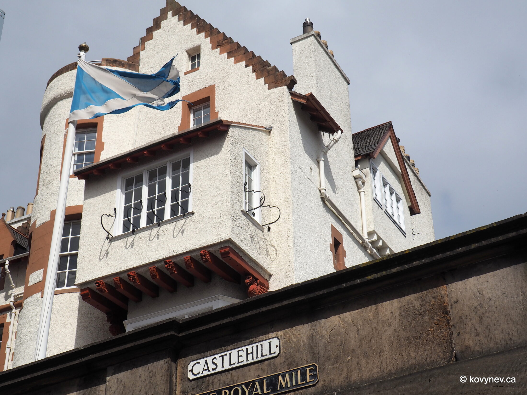
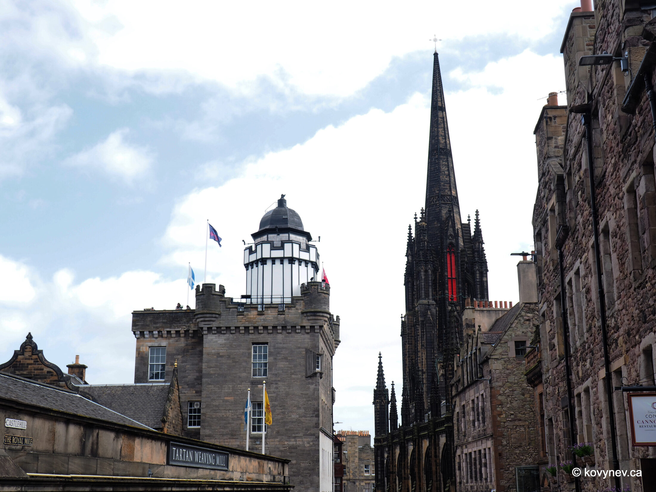
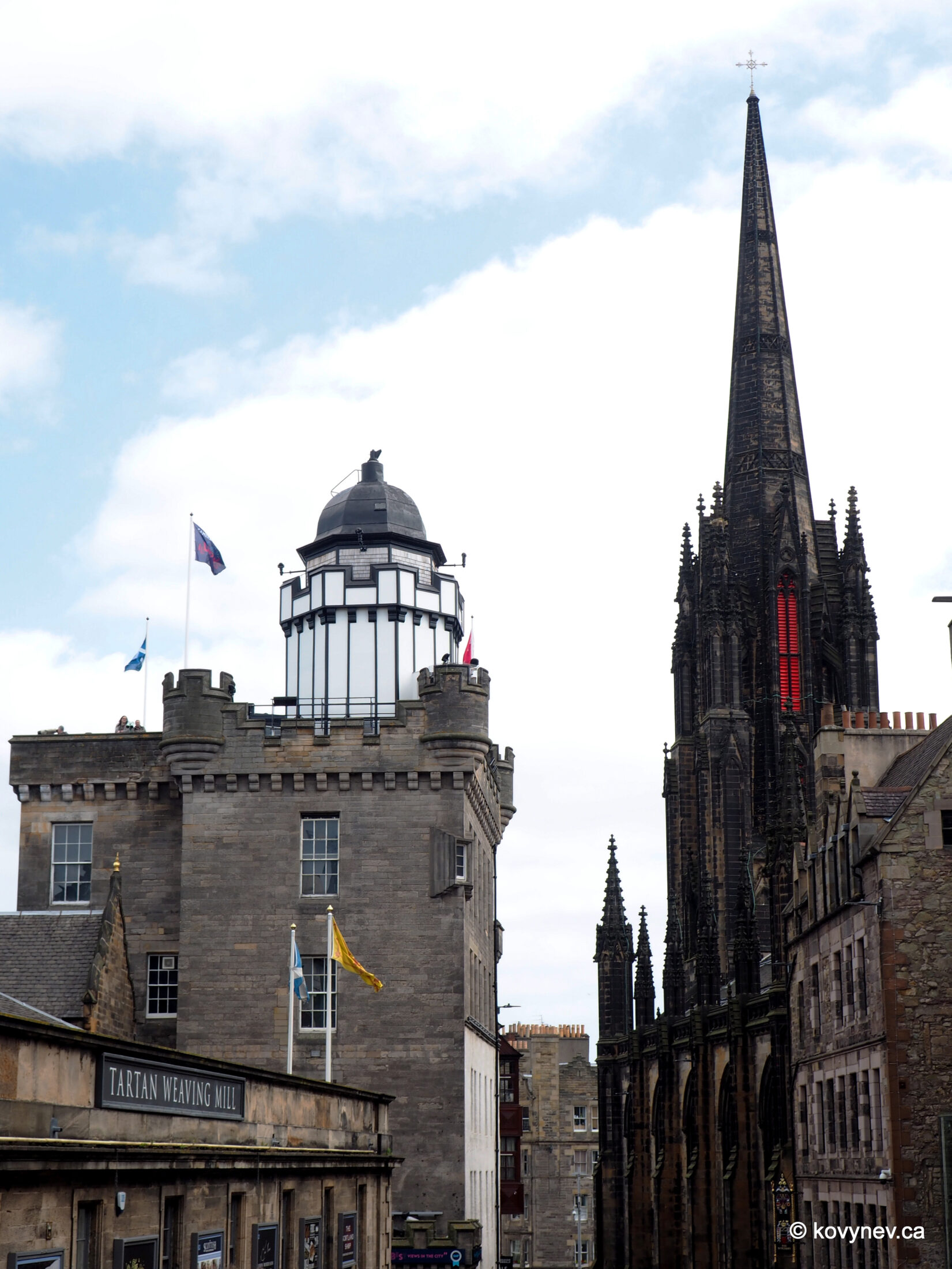
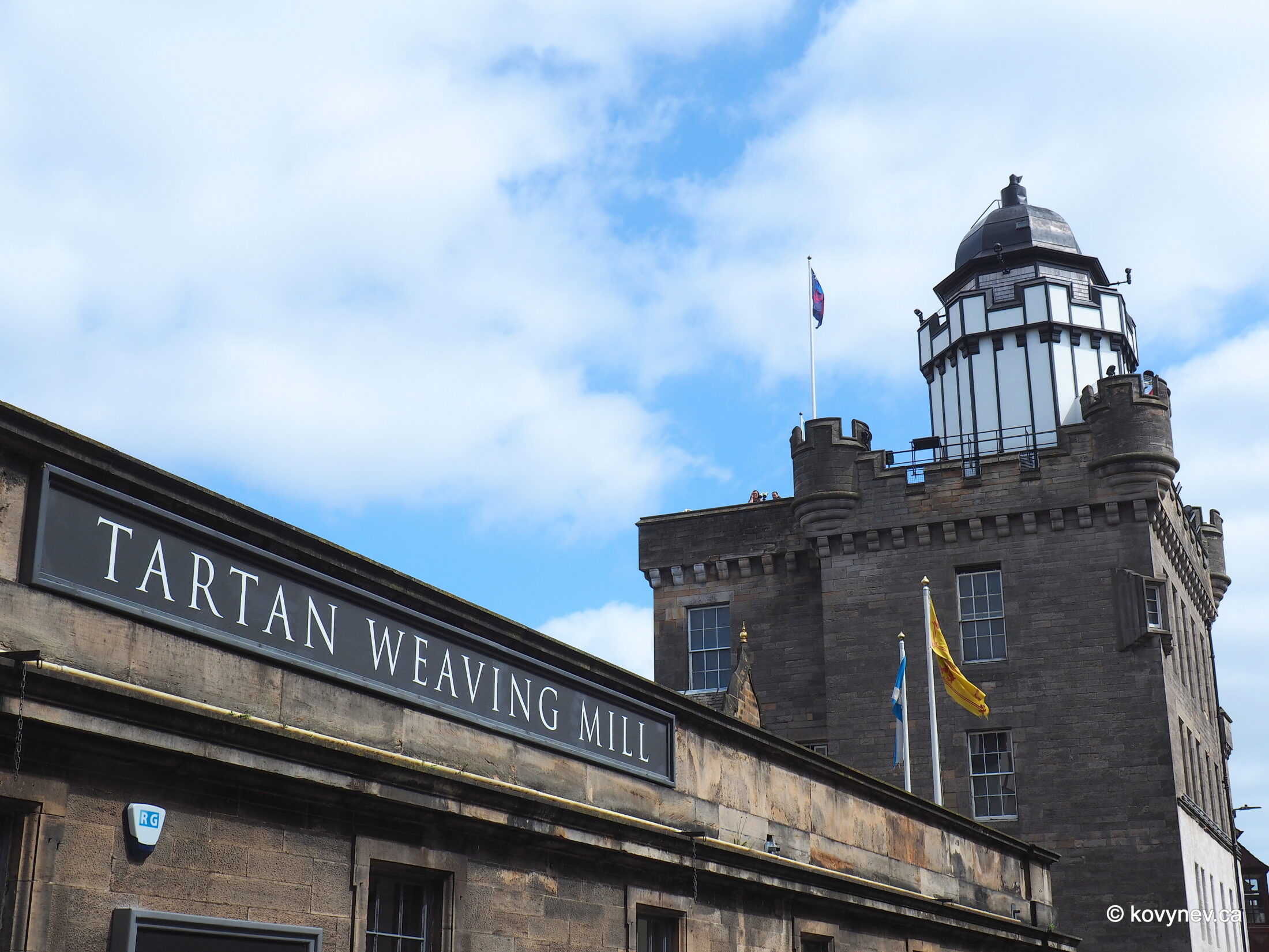
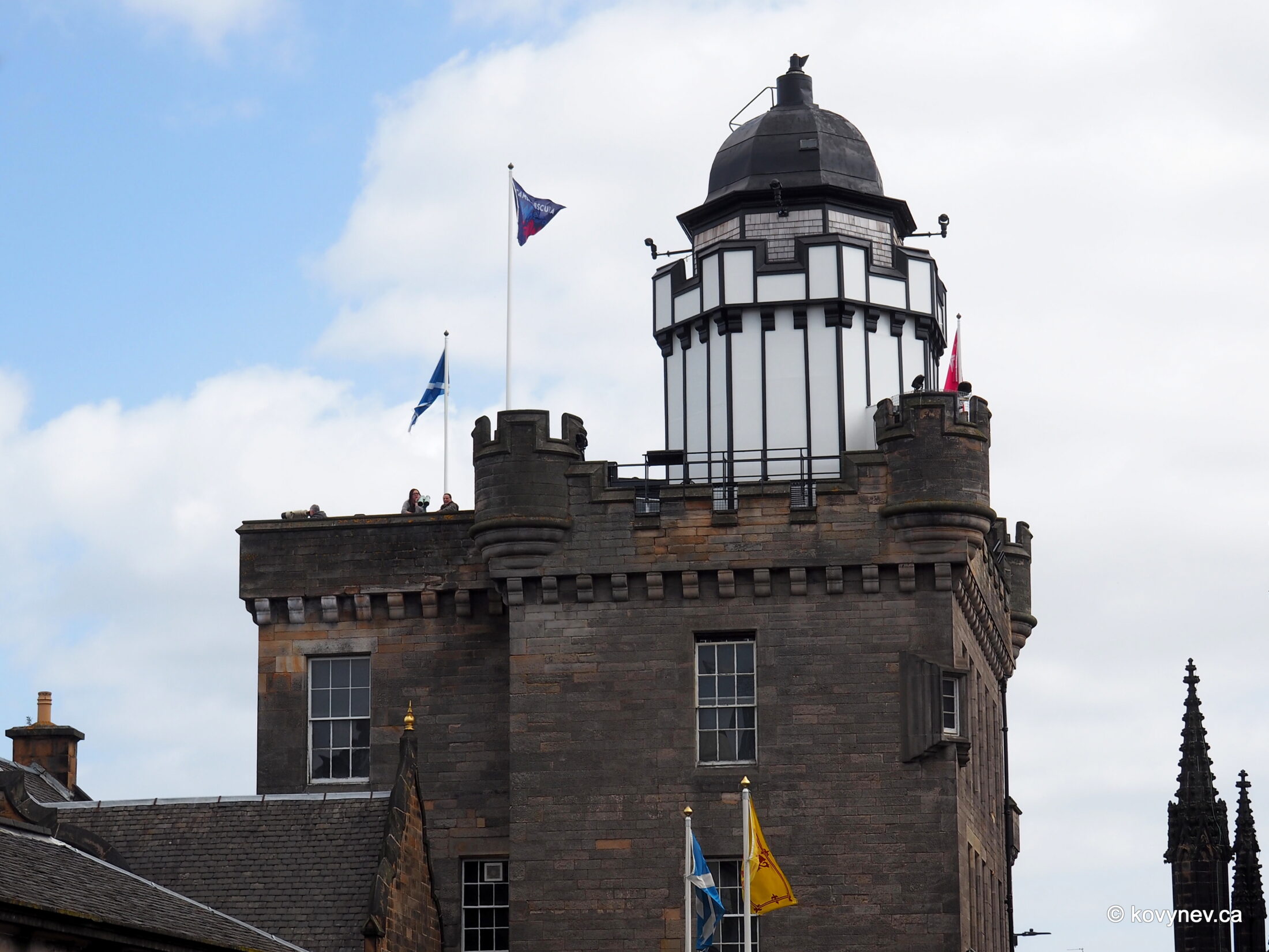
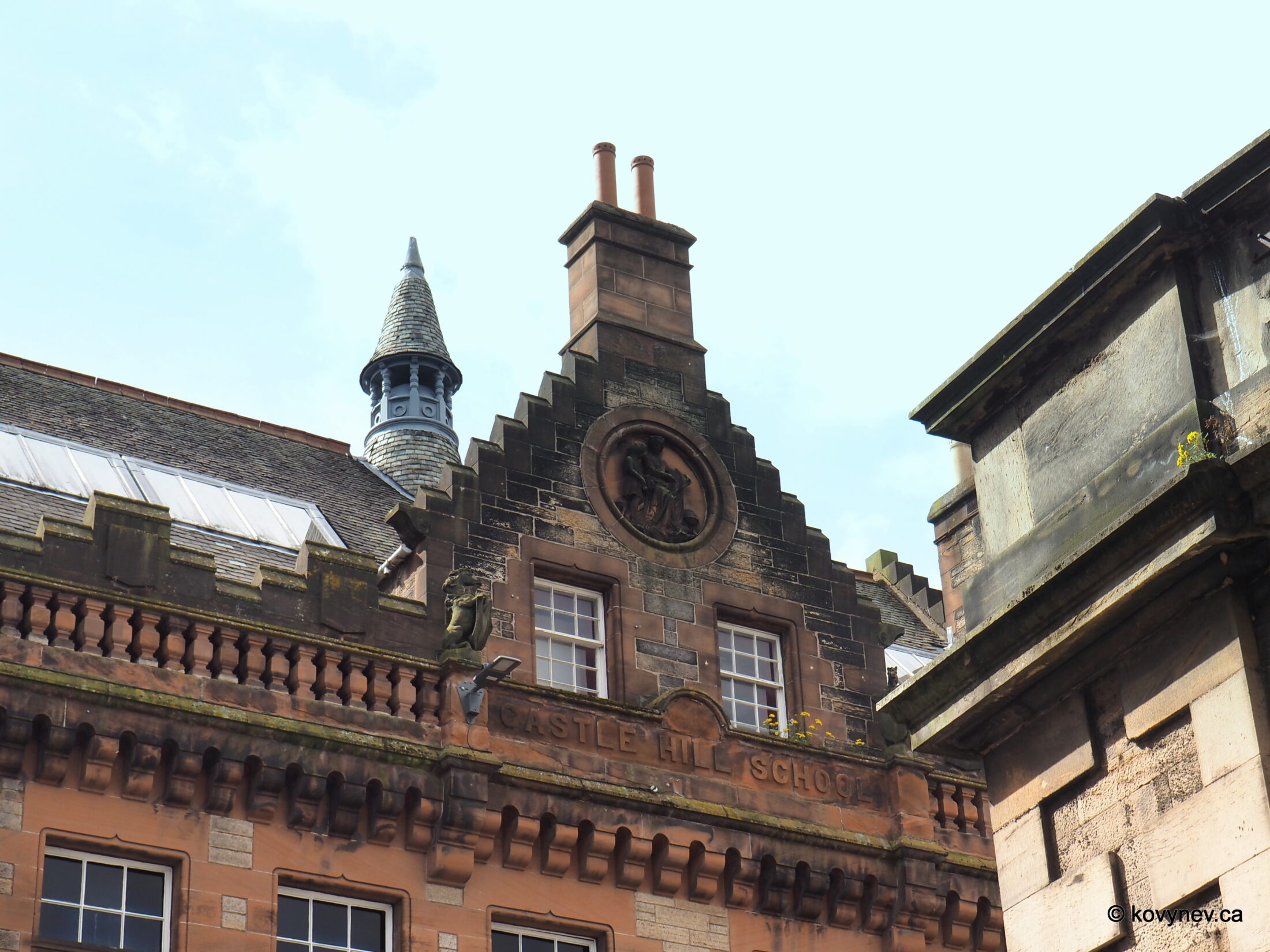
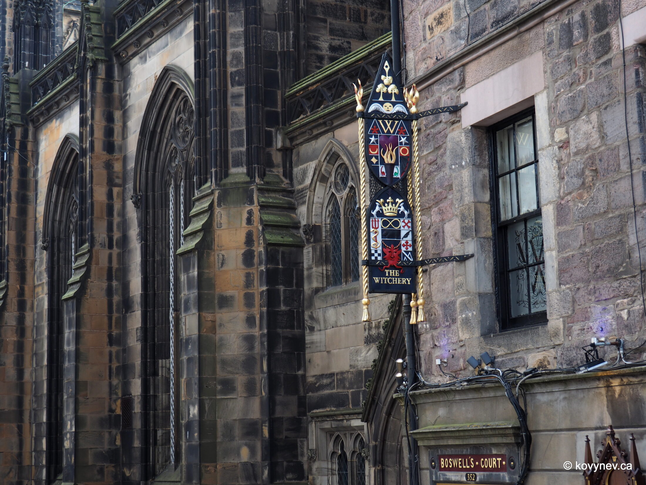
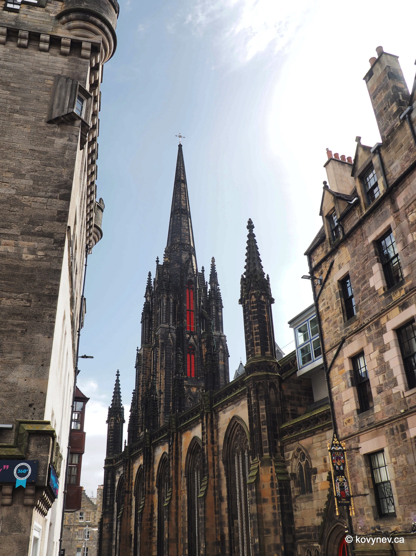
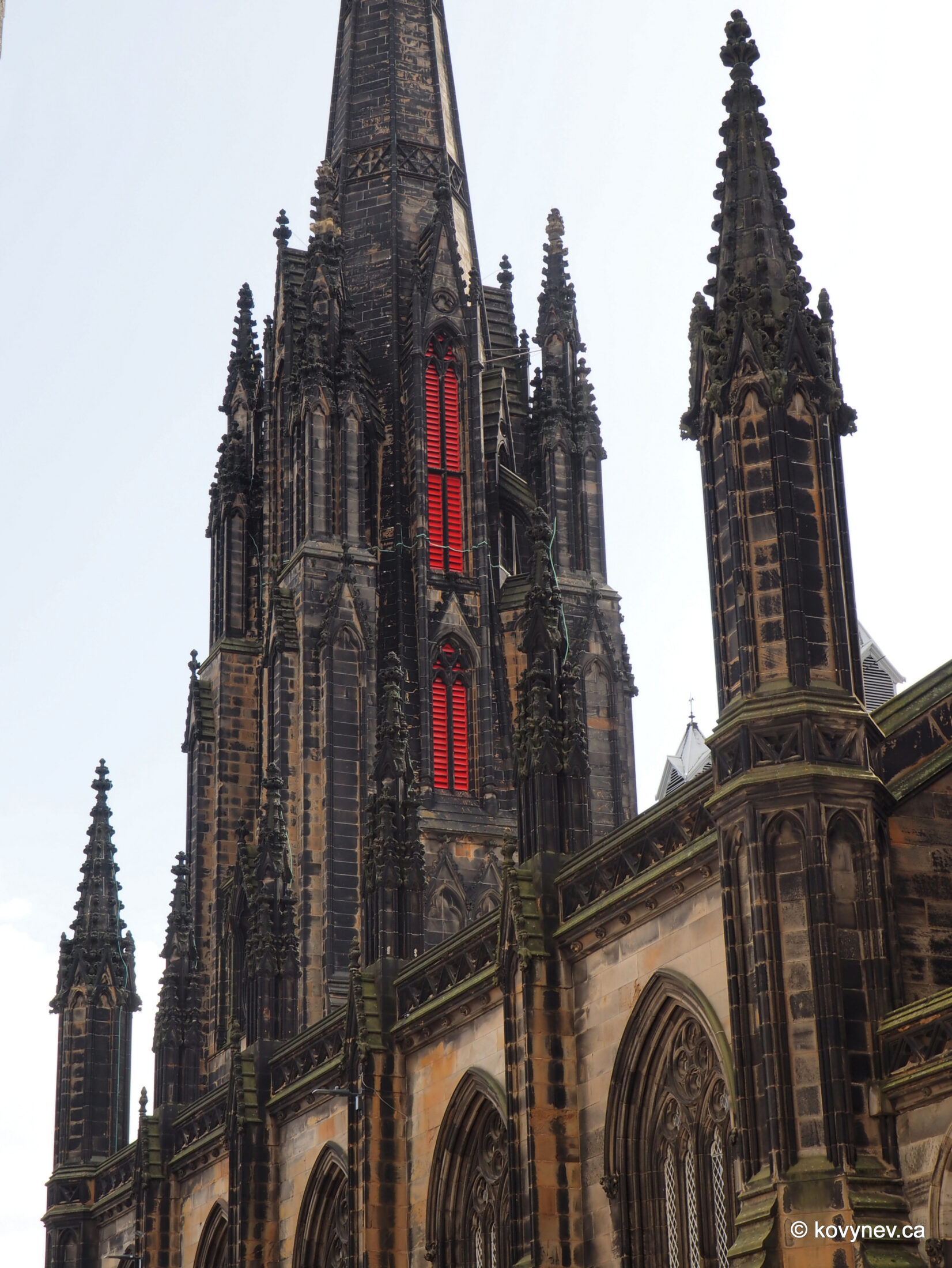
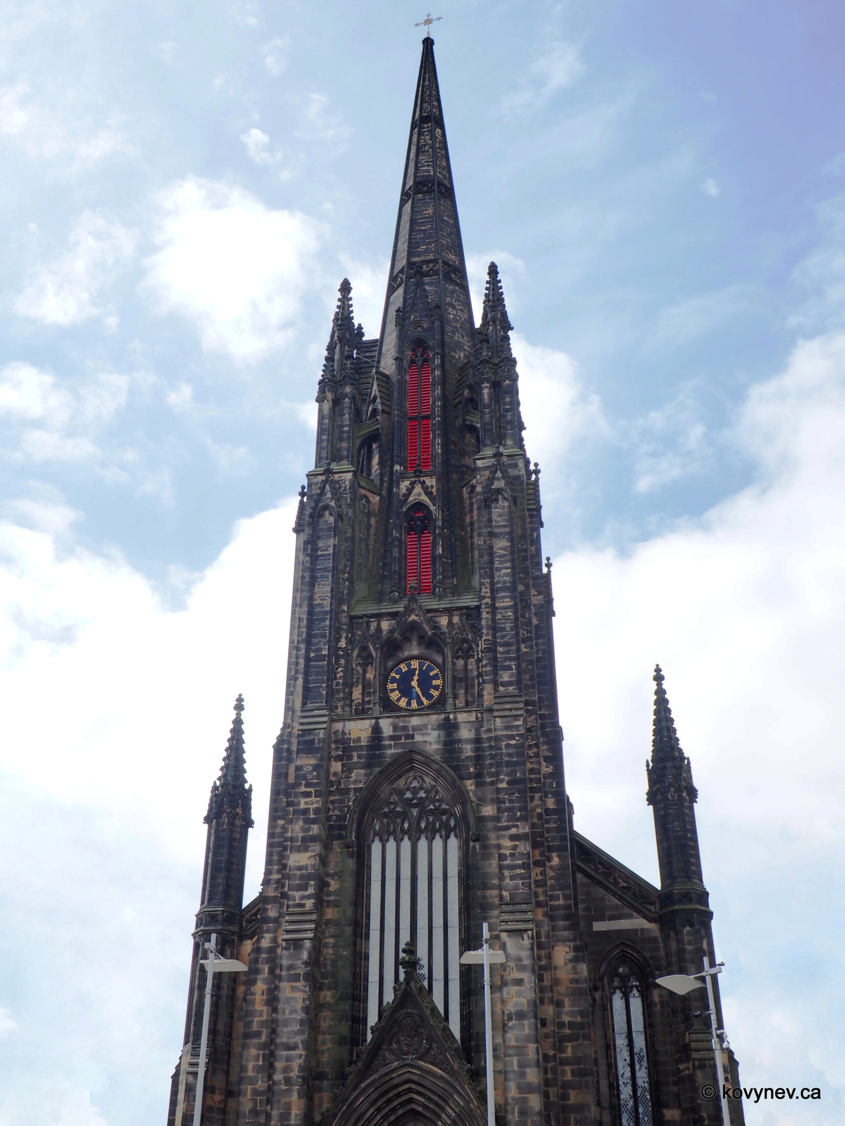
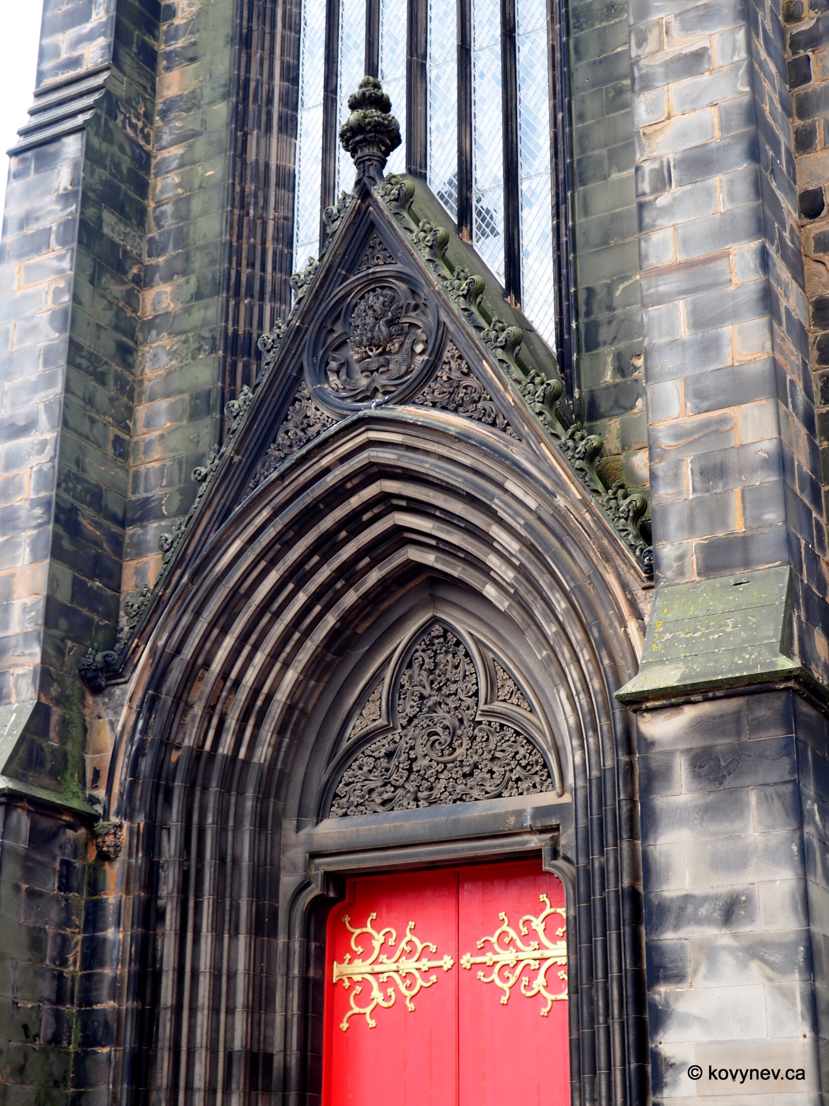
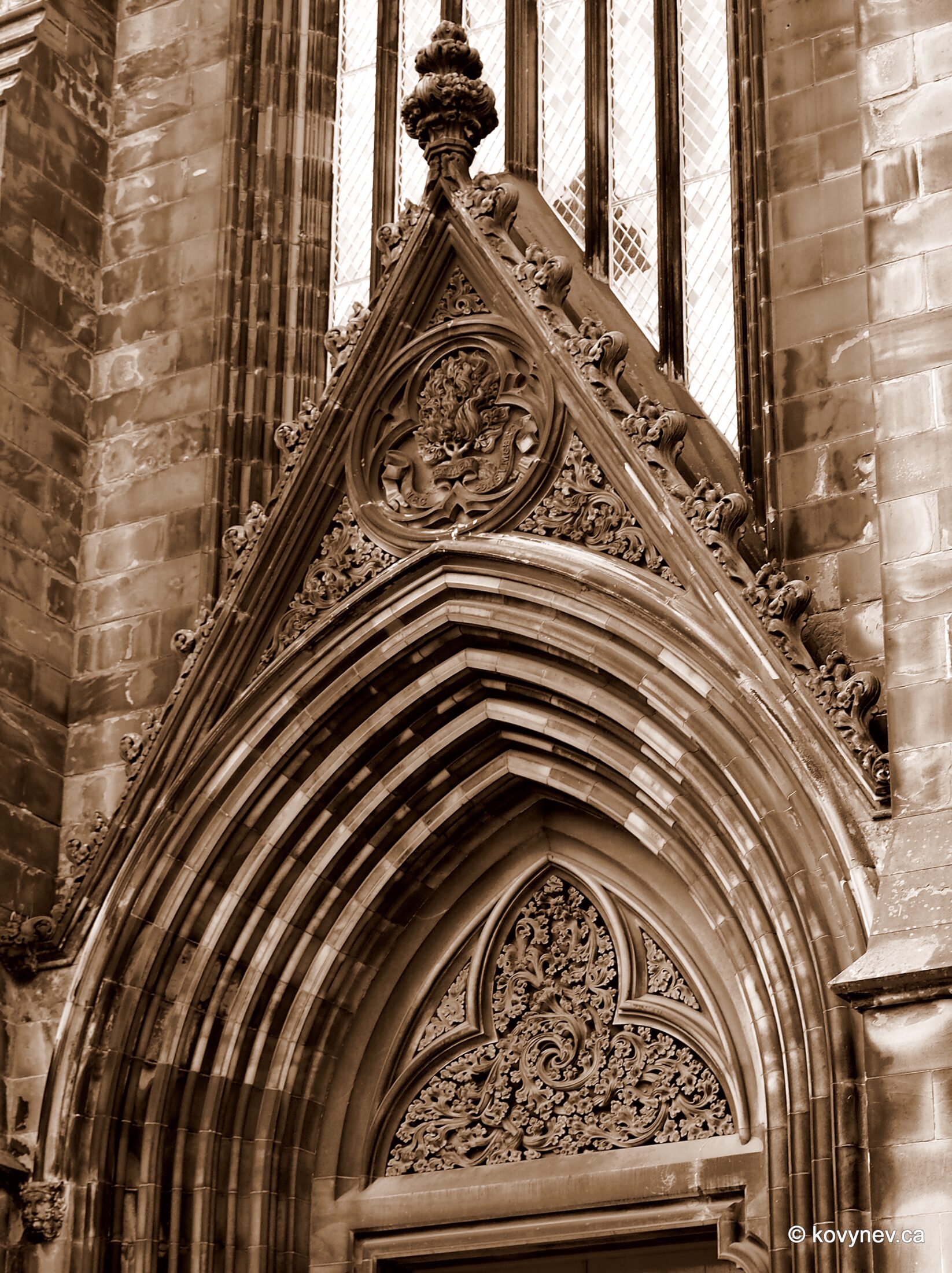
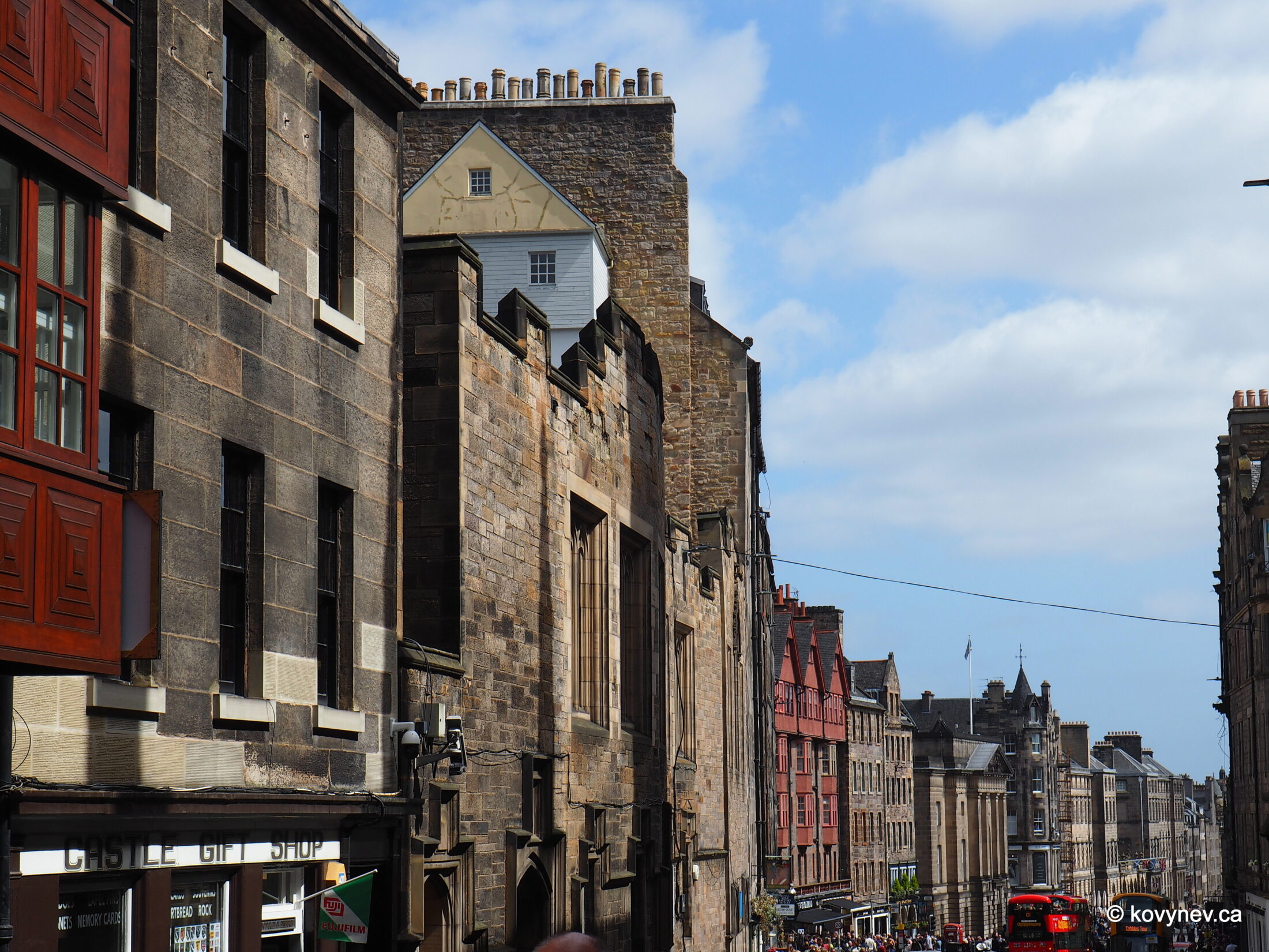
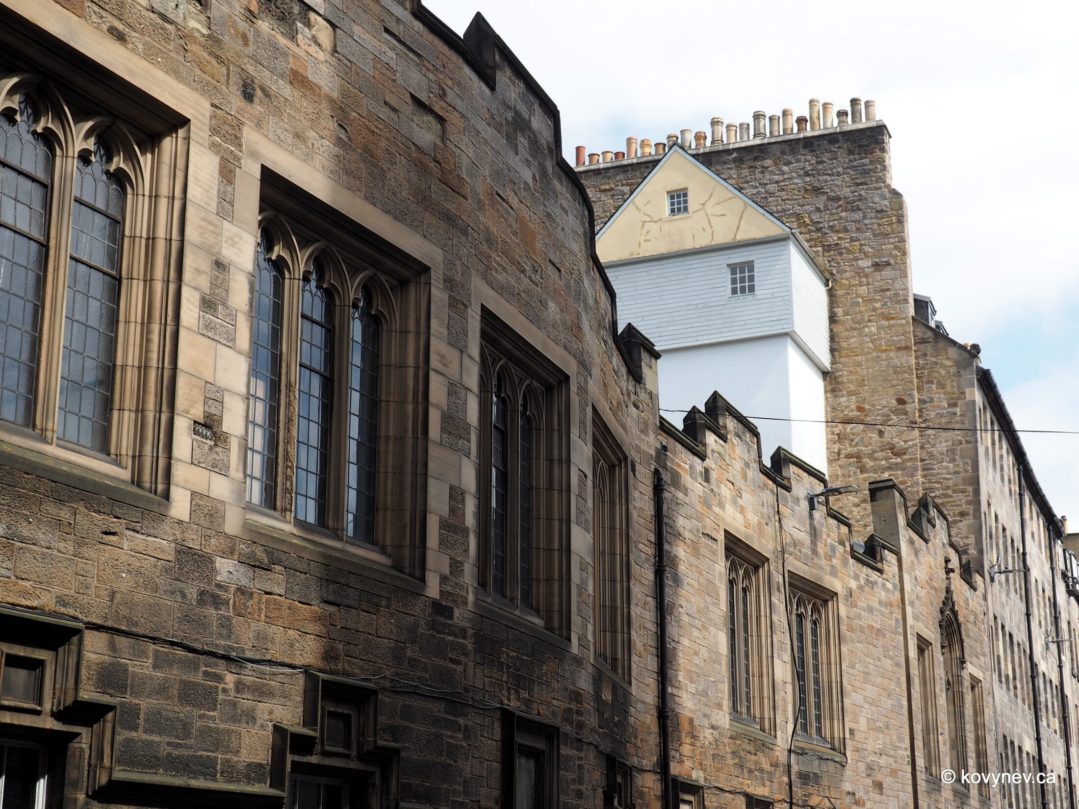
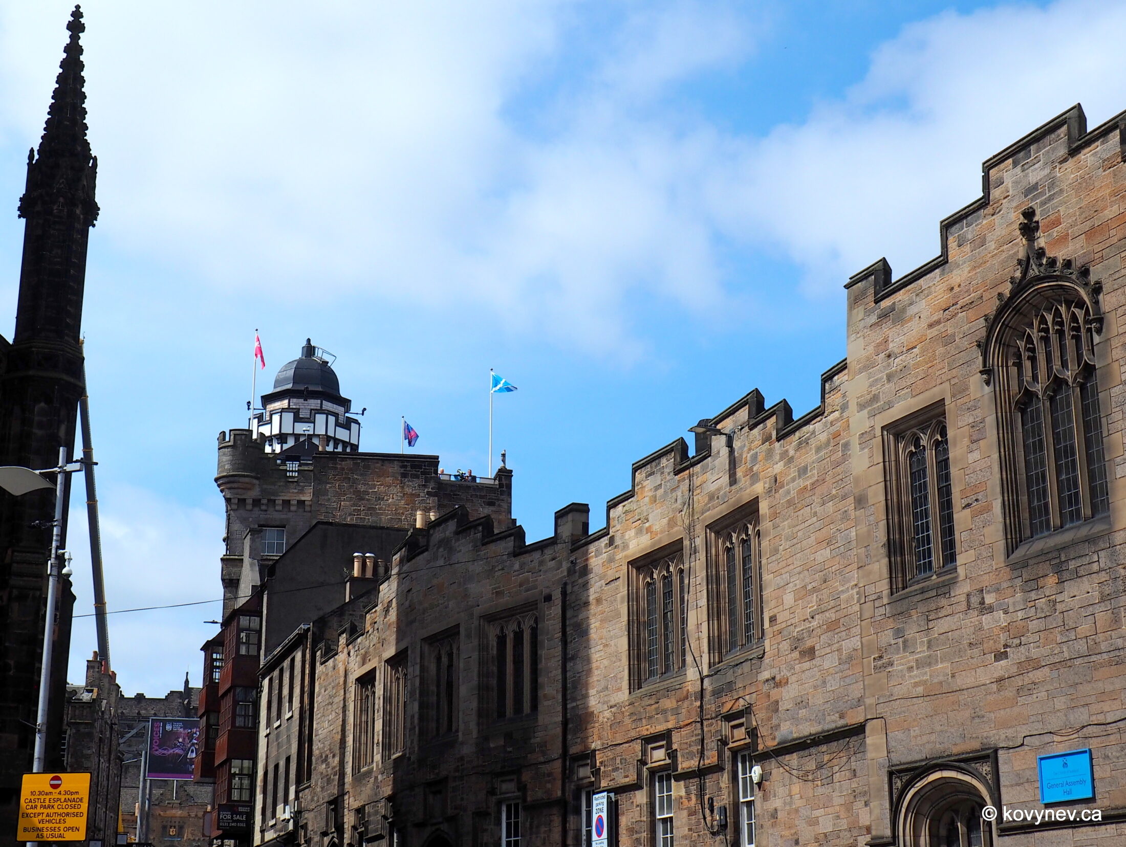
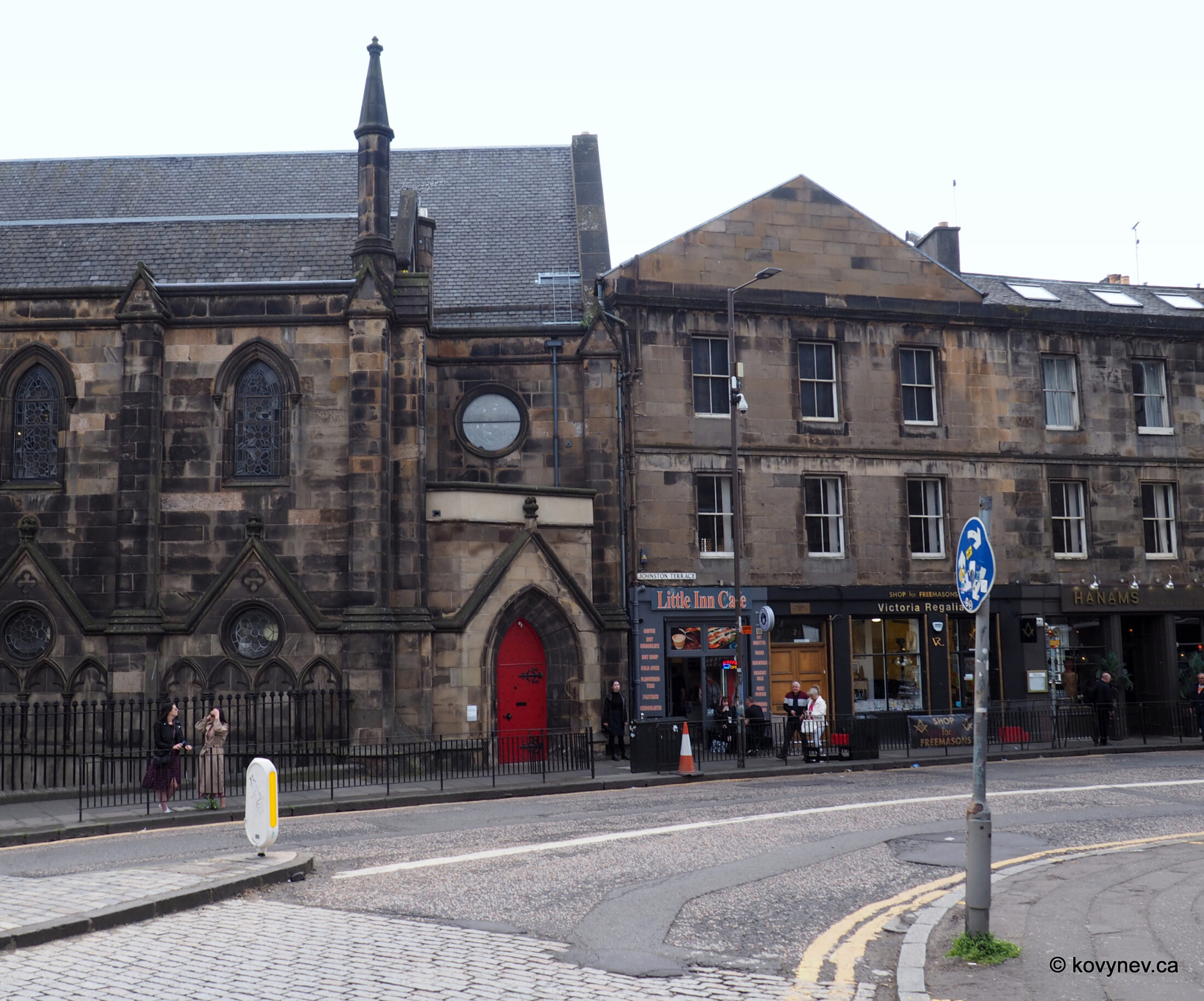
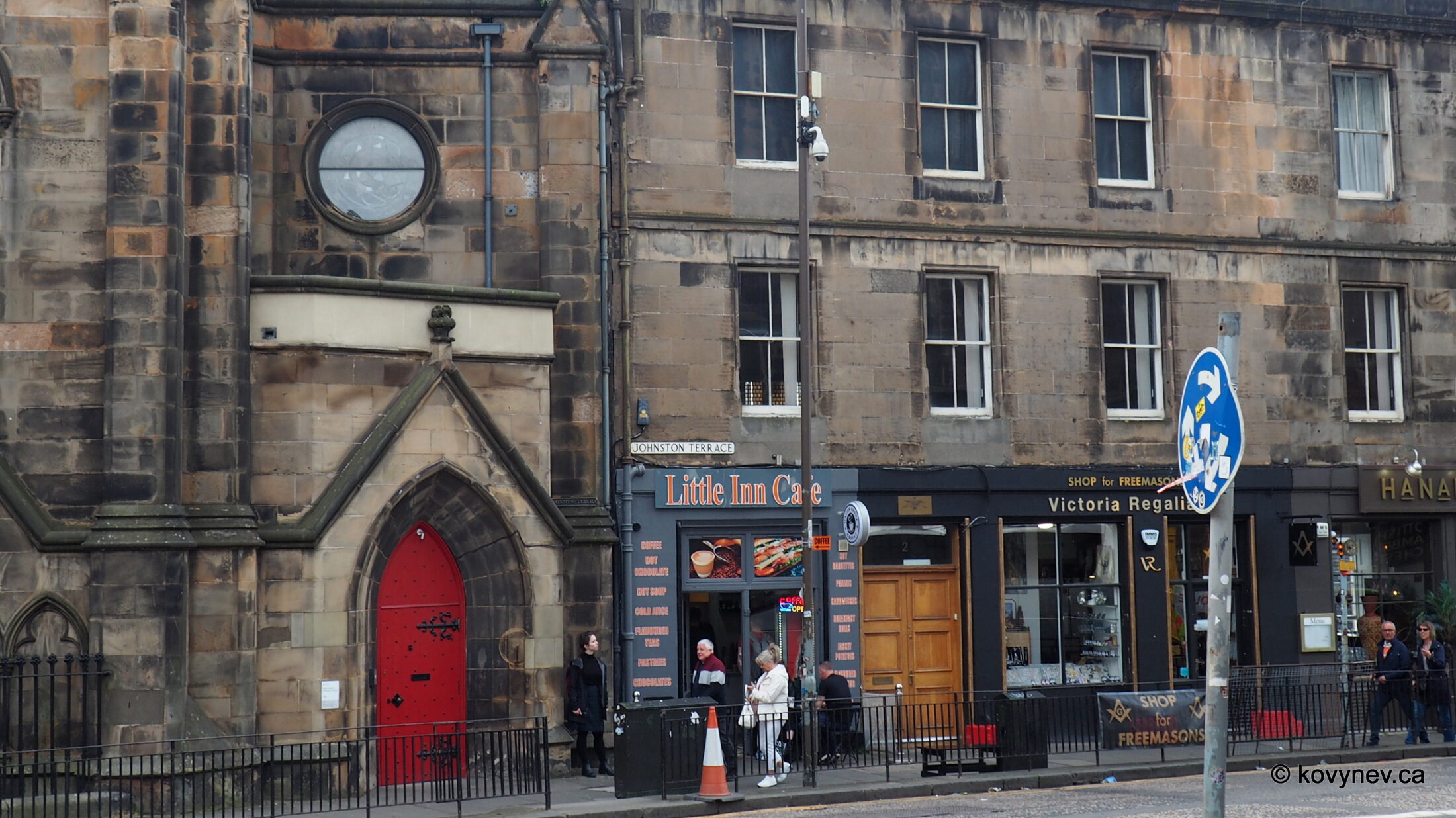
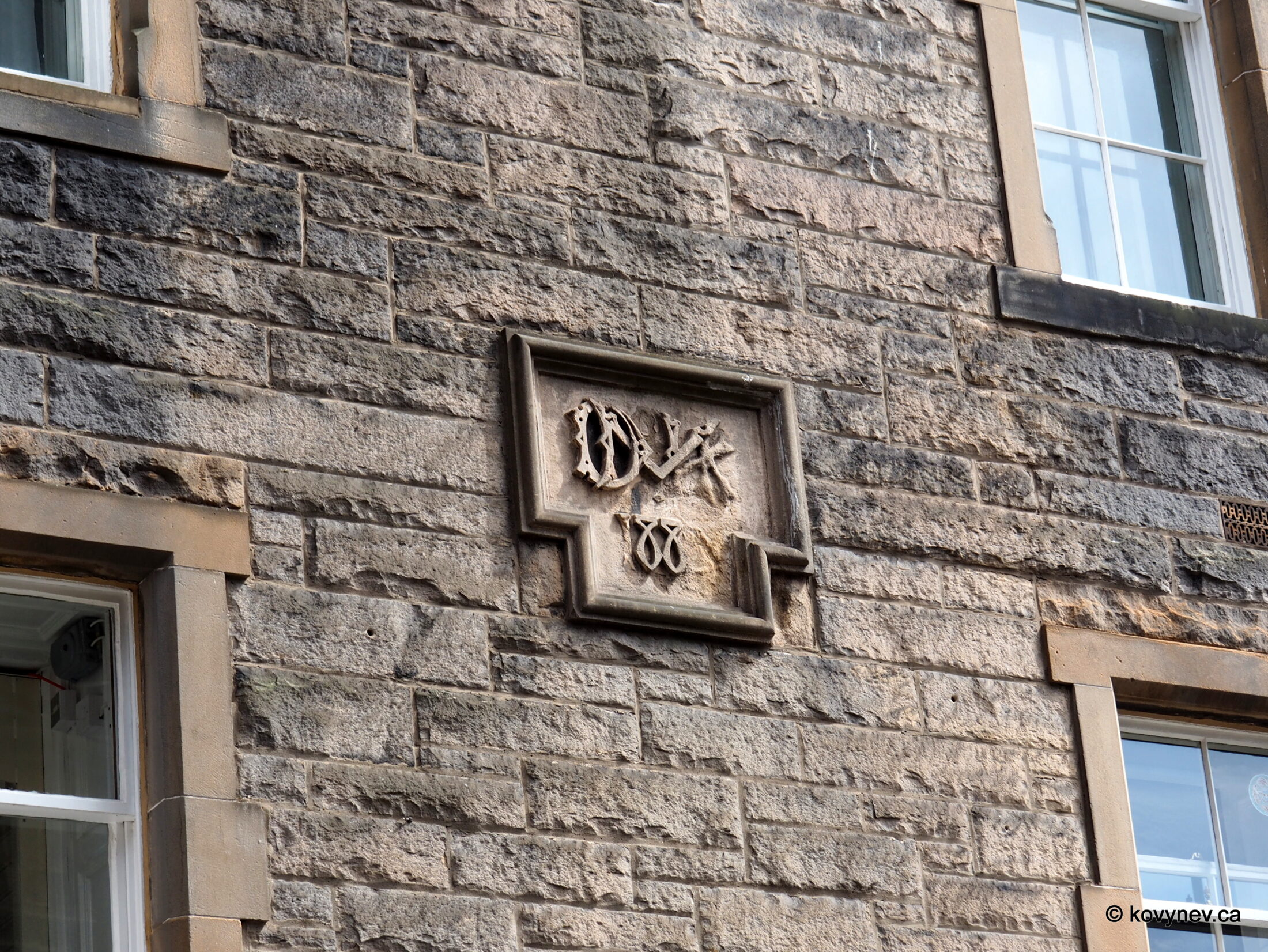
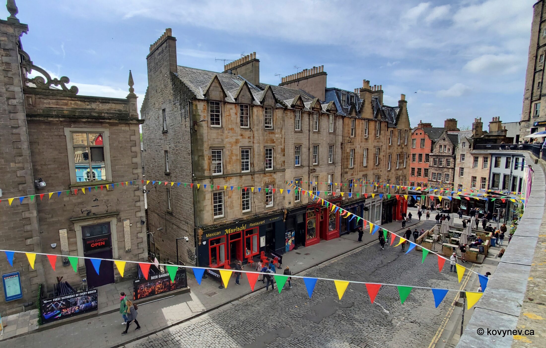
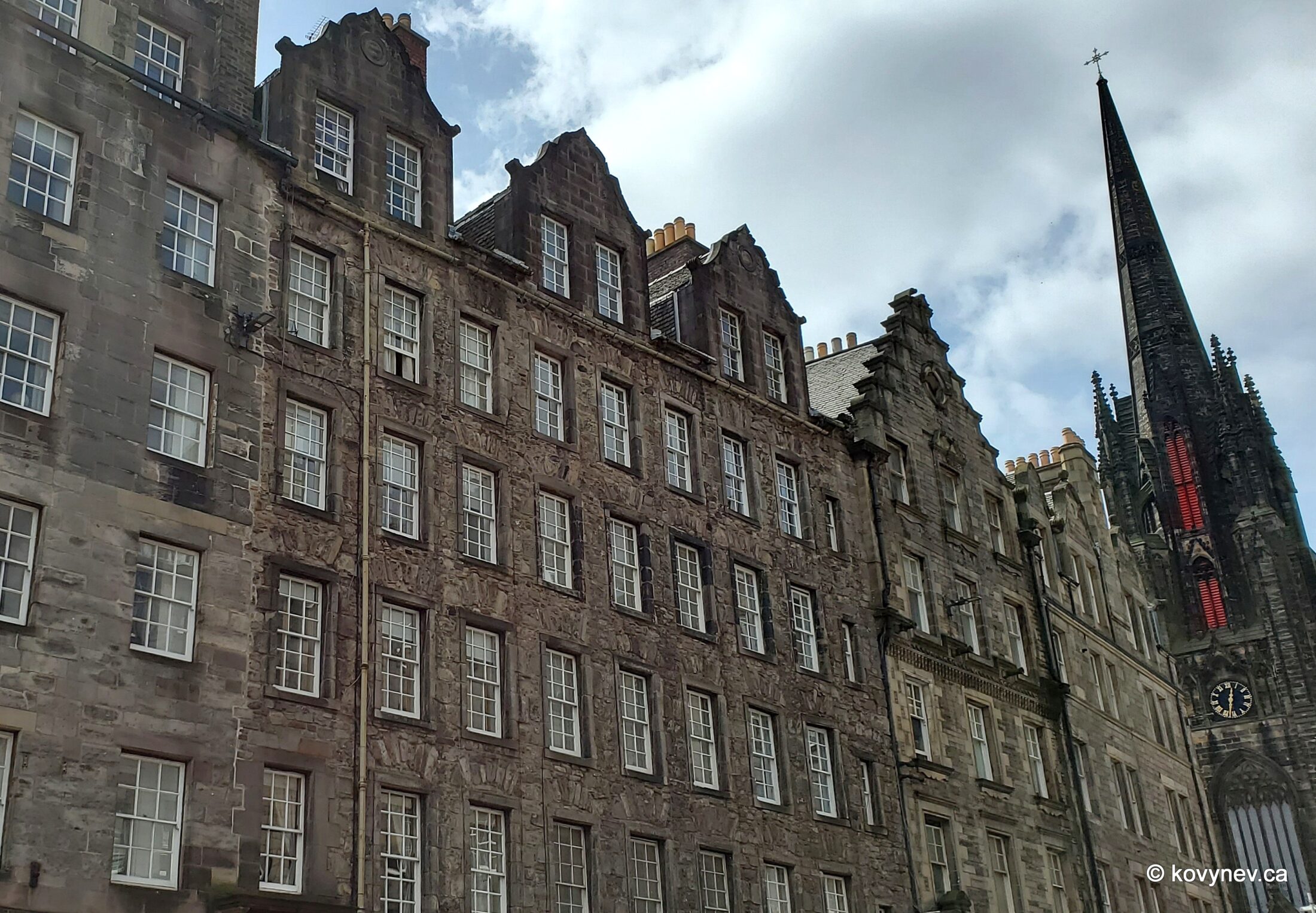
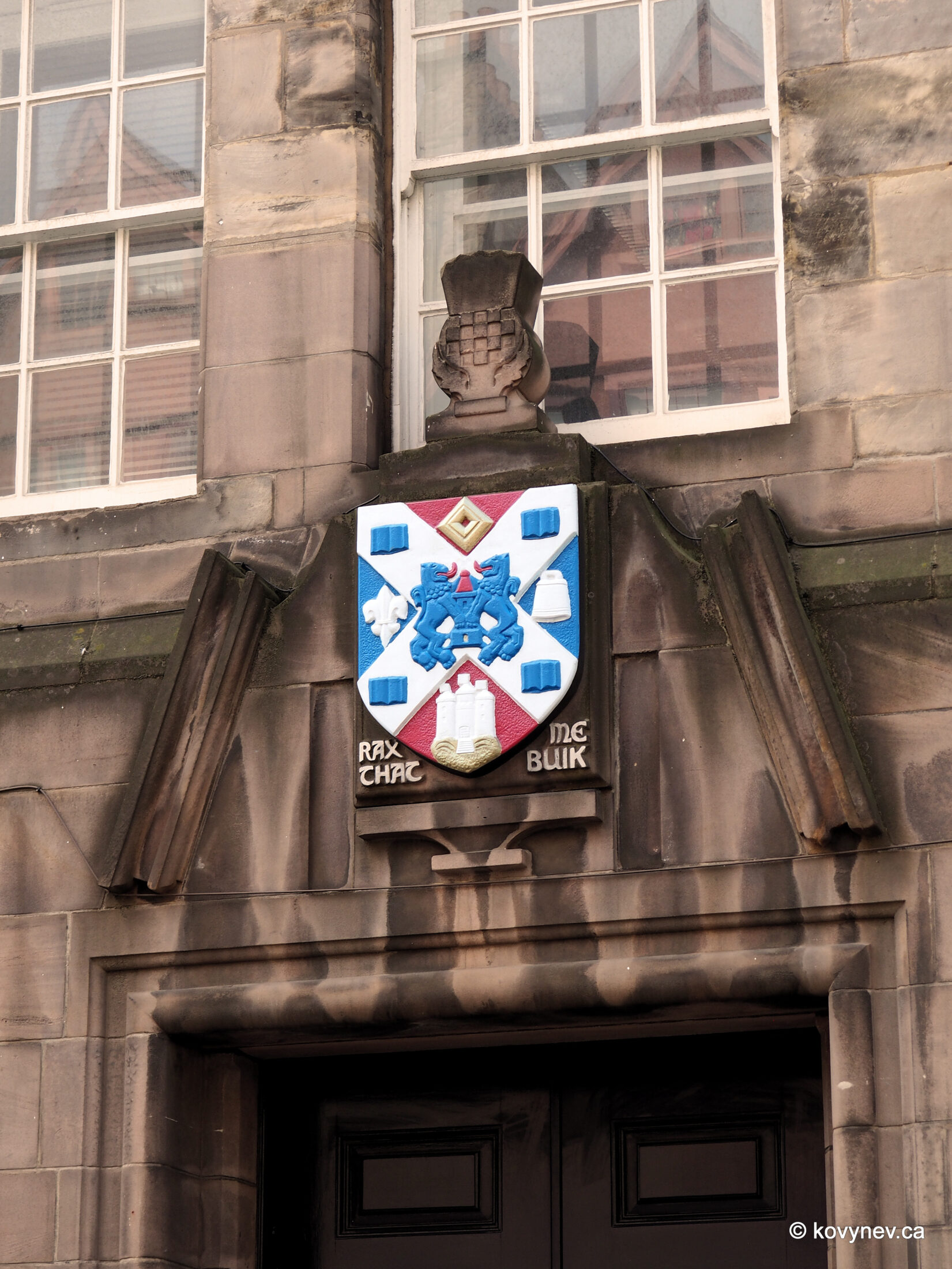
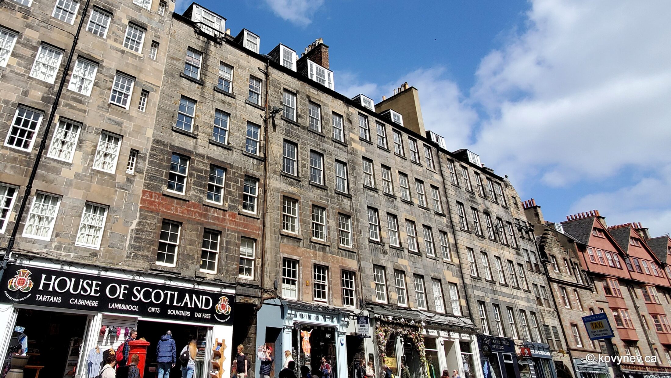
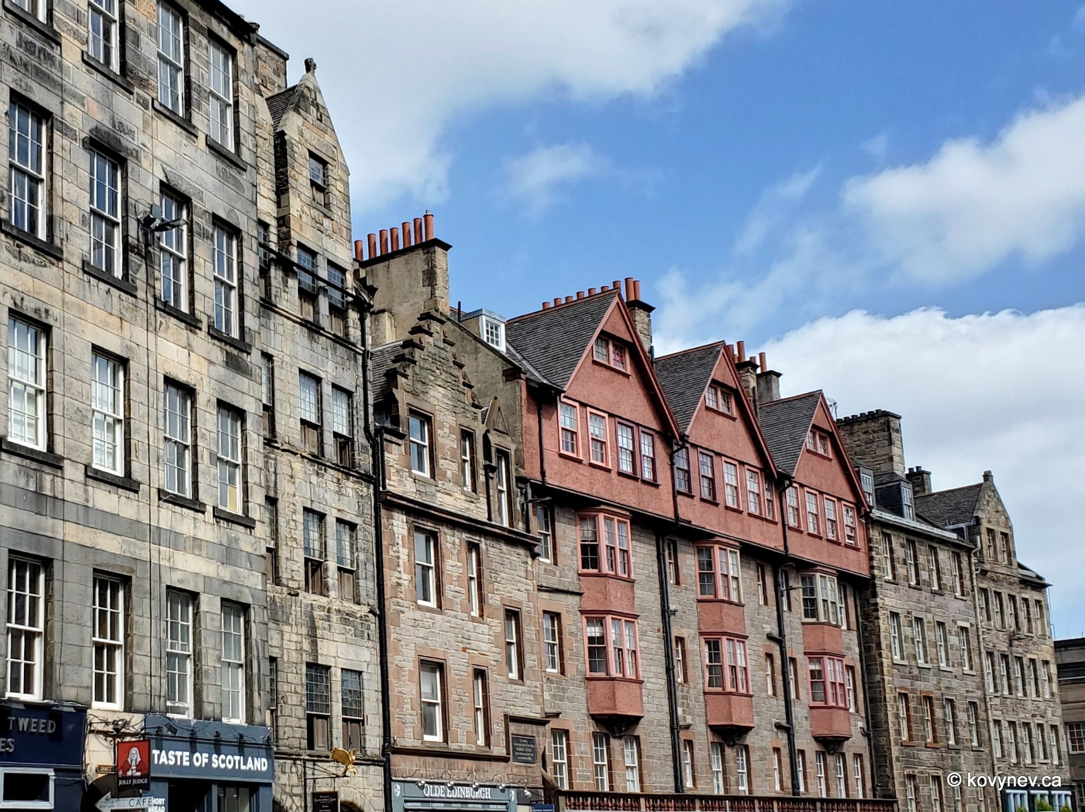
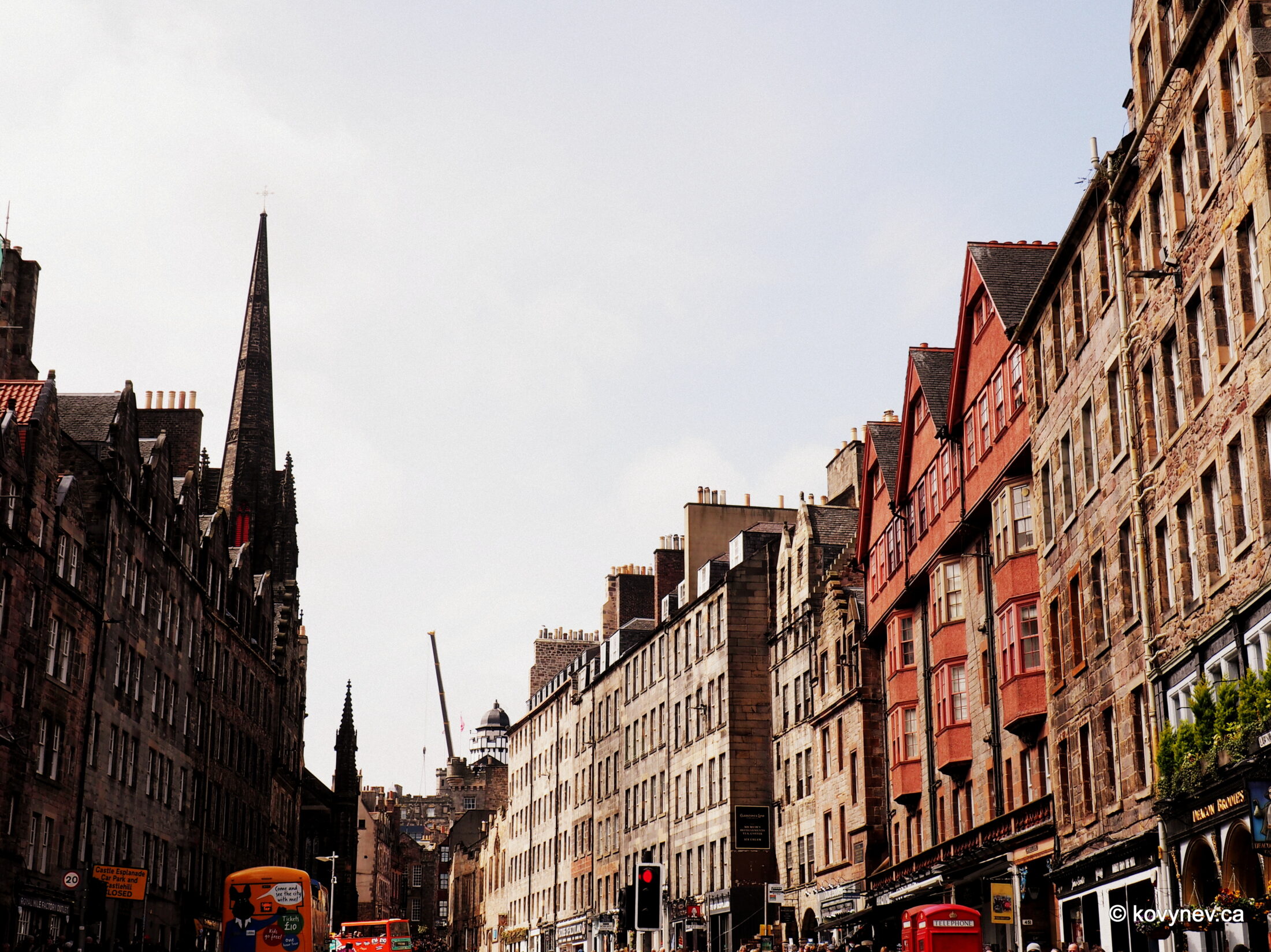
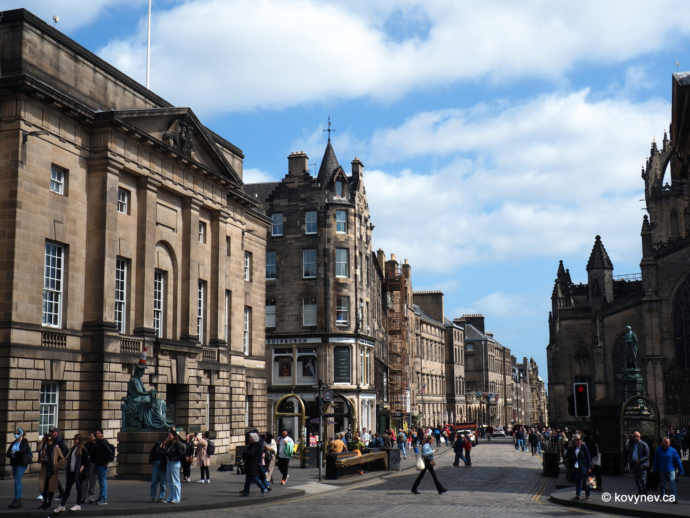
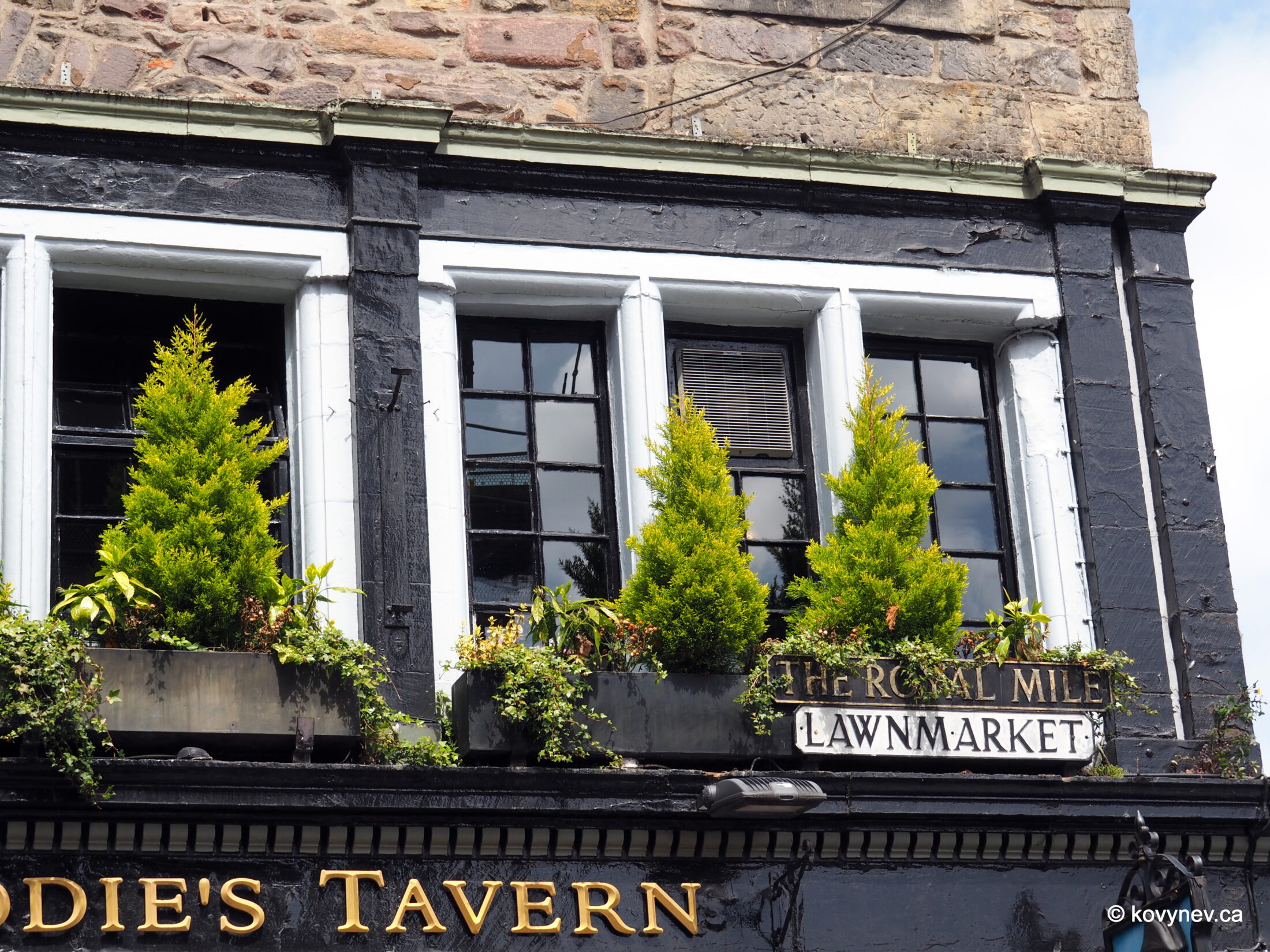
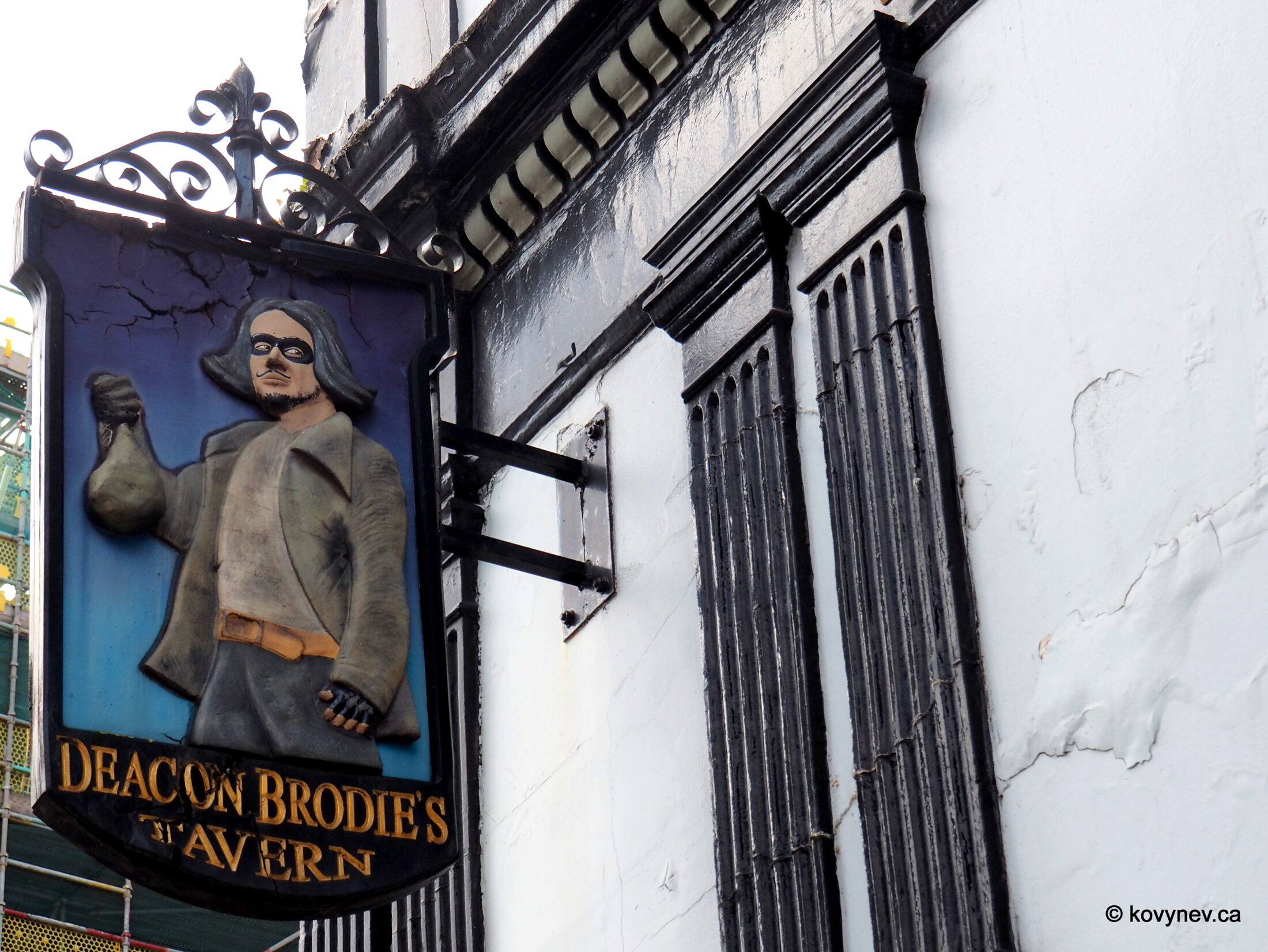
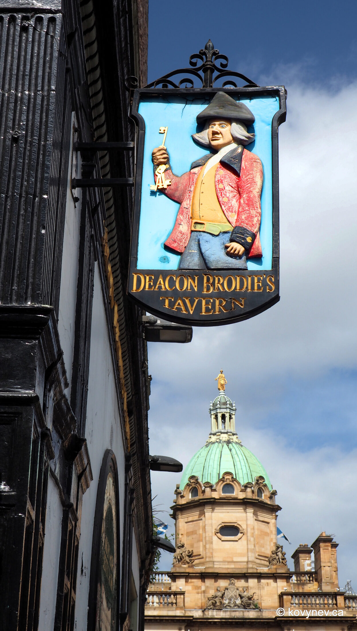
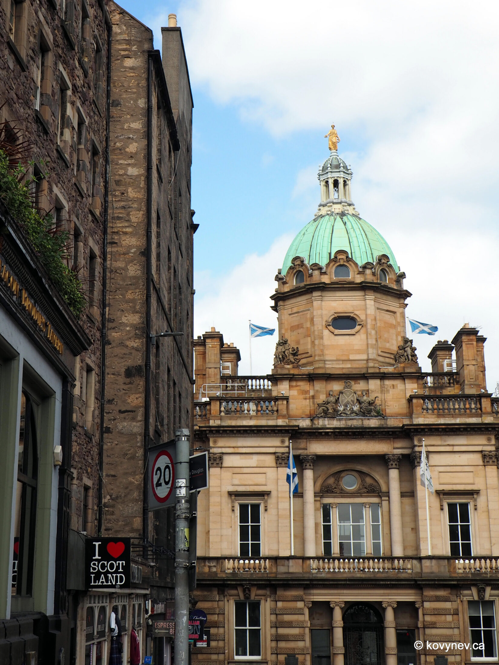
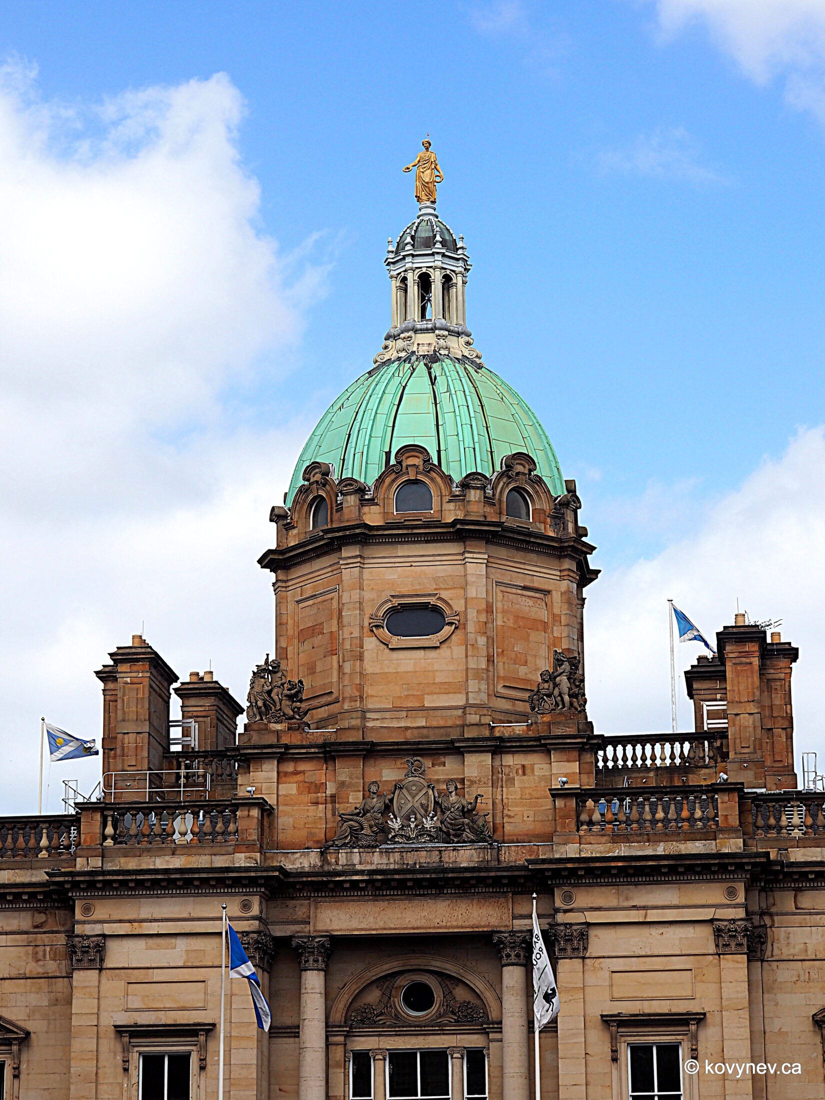
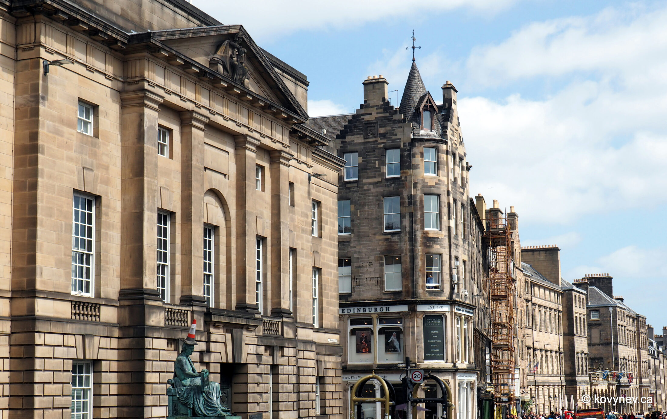
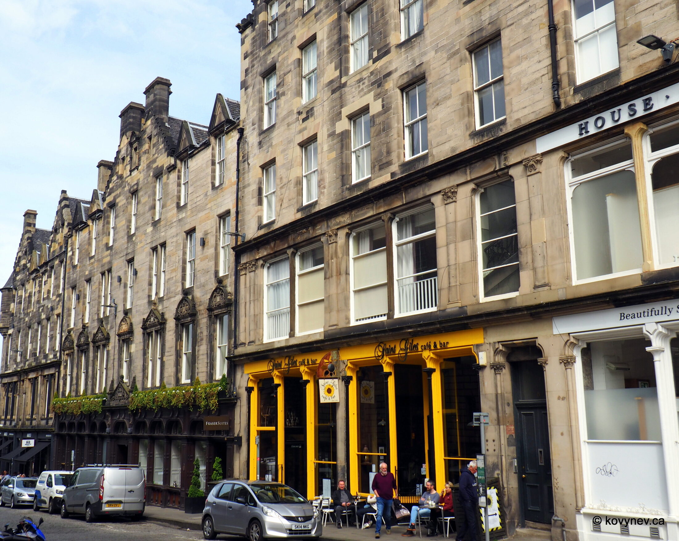
We start right at the entrance to Castlehill from the Esplanade. This white building is one of the houses in Ramsay Garden we spoke of earlier, "gentrified" by Patrick Geddes. We are in the very heart of medieval Edinburgh now - on a spot right under this white building is where they burned witches back then. There is a plaque in the wall of the brown building below. (Sorry, no picture). The other side of Castlehill. This building is called Cannonball House, built in the 1600s by a wealthy fur merchant. (You need to be very wealthy to have your residence as the first house on the street after the royal palace).This building wasn′t named the Cannonball House originally. It is called so now because of a cannonball stuck in its wall. Most probably, it comes from the siege of Edinburgh Castle by Oliver Cromwell in 1650. The castle was bombarded then for months before it surrendered. (The cannonball is under a top-storey window on the side of the building facing the castle. Very small and unassuming, to be honest.)Looking downhill from the spot in front of the Cannonball House. The low one-story edifice to the left is a one-time city reservoir. This cistern, which could hold 1.5 million gallons, was meant to supply the Old Town with running water. That′s why it′s sitting at the highest point of the Royal Mile and the whole of the Old Town, so the water can run downhill due to gravity.The grey tower with a white-and-black structure on top is called Laird o′ Cockpen′s house, which requires a bit of explanation. The tower was the town residence of the Ramsays of Dalhousie, the chieftains (or thanes, as they are known in Scotland) of the very powerful Ramsay clan, whose family seat was in Dalhousie Castle in a place called Cockpen, not far from Edinburgh. That′s why the Ramsay thanes eventually became the Earls of Dalhousie. One of them, George Ramsay, 9th Earl of Dalhousie, served as Governor of Nova Scotia and Governor General of British North America, and founded Dalhousie University in Halifax in 1818. (This is a side note for Canadians).The Ramsay thanes were commonly known as the Lairds o′ Cockpen (the Lords of Cockpen), since their castle was in Cockpen. Hence the name of their town residence - this building. There is a popular song about how one of these lairds, all "proud an′ great", decided to marry a lady from "down by the dyke-side". But she rejected him, because he was too pompous in his wig, his waistcoat, and "cock′d hat". The Laird o′ Cockpen′s house eventually turned into a tenement. So, when a heiress of the Edinburgh instrument maker Thomas Short, Maria Theresa Short, received a big telescope as her inheritance, she bought the tenement (because it was tall, and cheap), and built an observatory on top of it (that white-and-black structure), to put the telescope to a good use.On the right side of the street, next to Cannonball house, is Castlehill School building. (I stepped into Ramsey Lane off Castlehill to be able to take a decent picture - the street is too narrow). It was built as part of the public education efforts in the 1800s, on the site of the Gordon House, the 17th-century residence of George Gordon, Constable of Edinburgh Castle.Looking little further down, with the school building to our immediate right. The building between the school and the church is Boswell′s Court, built in 1595 for another wealthy merchant, named after a later resident John Boswell (the uncle of James Boswell, Dr Johnson′s biographer), then turned into another tenement, and now a fancy hotel. [Sounds like everything along the Royal Mile at one point was a tenement. Which is almost true. Like any medieval city, Edinburgh lacked space, so once the original wealthy resident moved out, a building would most often be split into apartments and rented piecemeal. Also, as I already mentioned, the Edinburgh tenements tend to differ from other European or North American cities′ tenements. ⇨ ⇨ In other cities, a tenement was almost always a slum for very poor people, and here middle class people would also reside in a tenement, occupying the lower floors - they just had nowhere else to live, until the New Town was built. But we will talk about it later.] In this picture, we see the street sign of that fancy hotel. The sign itself is way too fancy...And now we are at the corner of the Laird o′ Cockpen′s house, looking at the former Tolbooth Church (or Kirk, as the Scots say). The spire is the highest in Edinburgh at 240 feet (72 meters). It′s not a church anymore, it′s the headquarters of the Edinburgh International Festival, one of the world′s major events in music and the performing arts. This building is not very old, it was constructed in the 1840s. One of its architects, Augustus Pugin, was also part of the team who built the Houses of Parliament in London, which shows - this "new" Tolbooth Kirk is in the same neo-Gothic style as the Palace of Westminster (this is the official name of the Houses of Parliament building).The official name of this church was the Highland Tolbooth St John′s Church. Tolbooth in medieval Scotland was the main municipal building of a town, sort of the city hall. The first and oldest of the several Edinburgh′s tolbooths, called the Old Tolbooth, was located one block down from here, next to St Giles′ Cathedral, which we will visit in the next gallery. In the Scottish tradition, a tolbooth requires a church next to it, usually called the Tolbooth Kirk. In case of Edinburgh′s Old Tolbooth, that role was played by St Giles′ Cathedral. Back then, the cathedral was divided into four separate churches, each serving its own congregation. Actually divided, with partitions. So, when this church was built, the congregation of the Tolbooth parish left St Giles′ and moved in here. That′s why the new church was called Tolbooth Kirk. A large portion of the congregation were originally natives of the Scottish Highlands and spoke Gaelic (as opposed to the Lowlands that predominantly spoke English), the church has the word "Highland" in its name. In 1979, the Tolbooth parish moved again, to the nearby Greyfriars Kirk, and the Tolbooth Kirk seized to be a church altogether.Check out that intricate neo-Gothic detail, given to the Tolbooth Kirk by its Victorian architects.Standing next to the Tolbooth Kirk and looking down Castlehill as it joins Lawnmarket, the next street in the string of the Royal Mile.The building on the left is the Castlehill façade of the General Assembly Hall of the Church of Scotland. Remember, we passed this tall building on Mound Place, when walking up the hill? This is its back side, so to speak. The complex of the Assembly Hall is huge and it occupies a whole city block, facing two parallel streets at once.Before the General Assembly Hall, there was the palace of Mary of Guise on this spot. She was the second wife of the Scottish King James V, and the mother of Mary, Queen of Scots (this is where Mary, Queen of Scots, got the French half of her DNA.) She ruled Scotland as the Queen Regent for several years. They say, some parts of the wall of her palace are incorporated into this neo-Gothic façade. A little square in front of the Tolbooth Kirk, where Lawnmarket starts. Lawnmarket is a corruption of "land market", meaning the place where the goods of the land (as in, produce) were sold. Eventually, other types of mongers joined the greengrocers, and the area has become just one big marketplace in the heart of the Old Town.The red door is a church called St. Columba′s-by-the-Castle. Remember, when we visited St. Margaret Chapel in the castle, I pointed out a stained-glass window with the image of St. Columba, an Irish monk in a boat, who was sailing to Scotland to spread Christianity? They say, when Mary of Guise′s palace right behind us was demolished, the stone from the palace was used to build this church.If you imagine the Old Town as a fish bone, with the Castle as the head, the Royal Mile as the spine, and Holyrood as the tail, then the ribs will be the numerous little streets that go sideways from the Royal Mile. This is one of those little streets, called Upper Bow. Just a quaint little nook, of which Edinburgh is chock-full. And a cute little plaque on a wall along Upper Bow. Beats me, what it could mean.At the dead end of Upper Bow, we get a glimpse of one of the Old Town′s most well-known spots - Victoria Street, always full of tourists. We will join them in the next gallery. For now, just think of the fact that we are actually standing on the ground level of the Royal Mile. It shows you the steepness and the height of the natural ridge, on top of which the Royal Mile runs.Back on the Royal Mile, farther along Lawnmarket, looking back at the Tolbooth Kirk. The building in the centre is a tenement again. Not converted into tenement from something else, but originally built as a tenement in 1700. That would probably be the better type of a tenement, for the middle-class residents. The coat-of-arms at the entrance is not from its tenement times. The building was later used by the Scottish Central Library, so the emblem is all about that - Scotland, Edinburgh, and books. The words below - RAX ME THAT BUIK - in the Scots language mean "Reach me that book". Note also that there are 2 slanting book edges on the sides.The opposite side of Lawnmarket. Tenements, tenements, tenements, all built at the same time - around 1700. You can imagine, how densely the Old Town was packed back then, and how this situation predetermined the development of the New Town in the mid-18th century. We will talk about this later.Next to the "House of Scotland" giftshop, there is an entrance into the inner yard called James′ Court. At one point, it was one of the most fashionable addresses in Edinburgh. The residents of James′ Court (still a tenement, albeit fashionable) included the Scottish philosopher David Hume and the famous writer James Boswell. (Remember Boswell′s Court up the street? That was named after his uncle.)The narrow building between "Taste of Scotland" and "Olde Edinburgh" (with the golden eagle) is called "Gladstone’s Land". Land in Edinburgh meant a tall narrow edifice, built on a very small plot, due to the lack of available space. Thomas Gledstanes, a merchant, built this specific land in 1617. Now, it′s a museum that showcases the interiors of a wealthy merchant′s house in Edinburgh in the 17th century.Looking the opposite way, up the street.Here we are at the end of Lawnmarket, where it meets Parliament Square, the focal point of the Royal Mile, with a lot of important stuff residing here. Let′s have a look around.First things first - the pub. "Deacon Brodie′s Tavern" is named after a local character, and one of the most notorious figures in the history of Scotland. Deacon William Brodie led a double life - a respectful craftsman and a trades guild′s deacon by day, and a very prolific burglar by night. After he was eventually captured, he managed to escape to Holland, but was captured again and brought back to Edinburgh. He was hanged in 1788, apparently, on the gallows of his own design (he was a carpenter among other things). Very talented and resourceful fella. At the very last moment he tried to escape death by secretly wearing an iron collar under his shirt. It didn′t work.You can read Deacon Brodie′s story on this (west) wall of the tavern, facing Bank St. Notice the sign, picturing Brodie in his "night" life, as a burglar. ⇨ ⇨ And the other side of the same sign, with Brodie as a respectful guildsman, holding a key. A nod to his favourite method for burglary - doing a legitimate work for customers as a locksmith, copying their key, and then coming back at night to rob them. [Is it possible that Brodie′s dual personality was at least partly an inspiration for Robert Louis Stevenson′s "Strange Case of Dr. Jekyll and Mr. Hyde"?]The building with the green dome we see at the end of Bank St is the bank the street was named after. Not just a bank, it′s the bank, when it comes to Scotland - the Bank of Scotland. This specific building, constructed in 1806 with a lot of later redesigning, originally served as its headquarters. The Bank of Scotland is the oldest Scottish bank, established in 1695, just one year after the establishment of the Bank of England. Back then, Scotland was still an independent, sovereign state, even though sharing the same king with England (the United Kingdom, when the two countries became one, only happened 12 years later, in 1707). The Bank of Scotland has become the first bank in Europe to print its own banknotes, which were widely accepted in the country as legal tender. They didn′t officially have the "legal tender" status though, they were formally called "promissory notes", but they still served (and continue serving) as the main paper currency of Scotland. ⇨ ⇨ And not only Scotland, too! After the union with England, the unofficial "legal tender" status of Scottish money was recognized in the whole of the United Kingdom. Even today, shops in England or Wales usually accept them as a form of payment, even though they technically don′t have to. But of course, Scottish pound banknotes are much more prevalent in Scotland than in other parts of the UK.This fine specimen of the Baroque Revival style (as in, fake Baroque) is not the headquarters of the Bank of Scotland anymore. It′s now the Scottish headquarters of the Lloyds Banking Group, which "acquired", as it is called in their world, the Bank of Scotland after the financial crisis of 2008. [The golden figure on the green dome is the Greek goddess of victory Nike, pronounced NIGH-key].Now, let′s look to the right, along the Royal Mile. The Classical-looking building on the left is the High Court of Justiciary - the highest criminal court of Scotland.
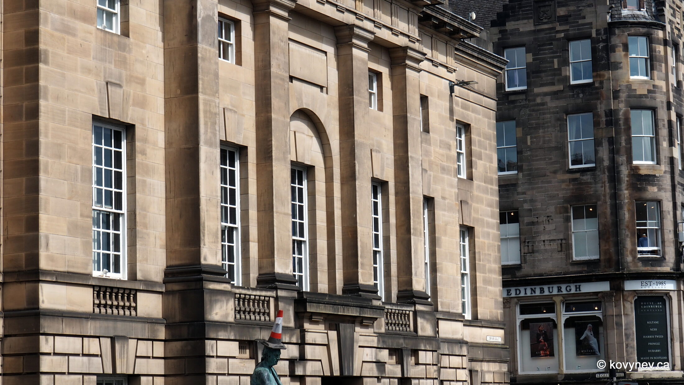
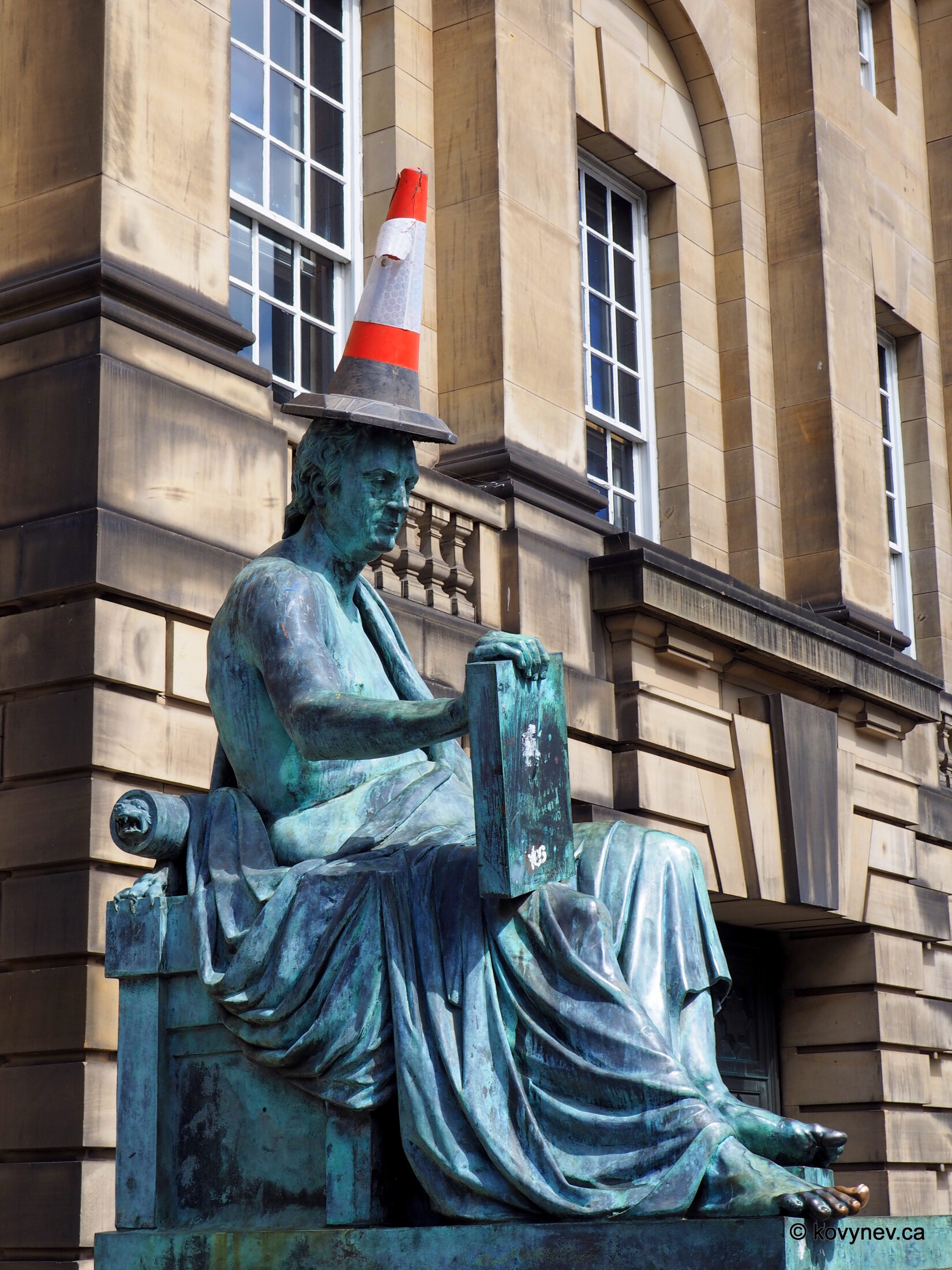
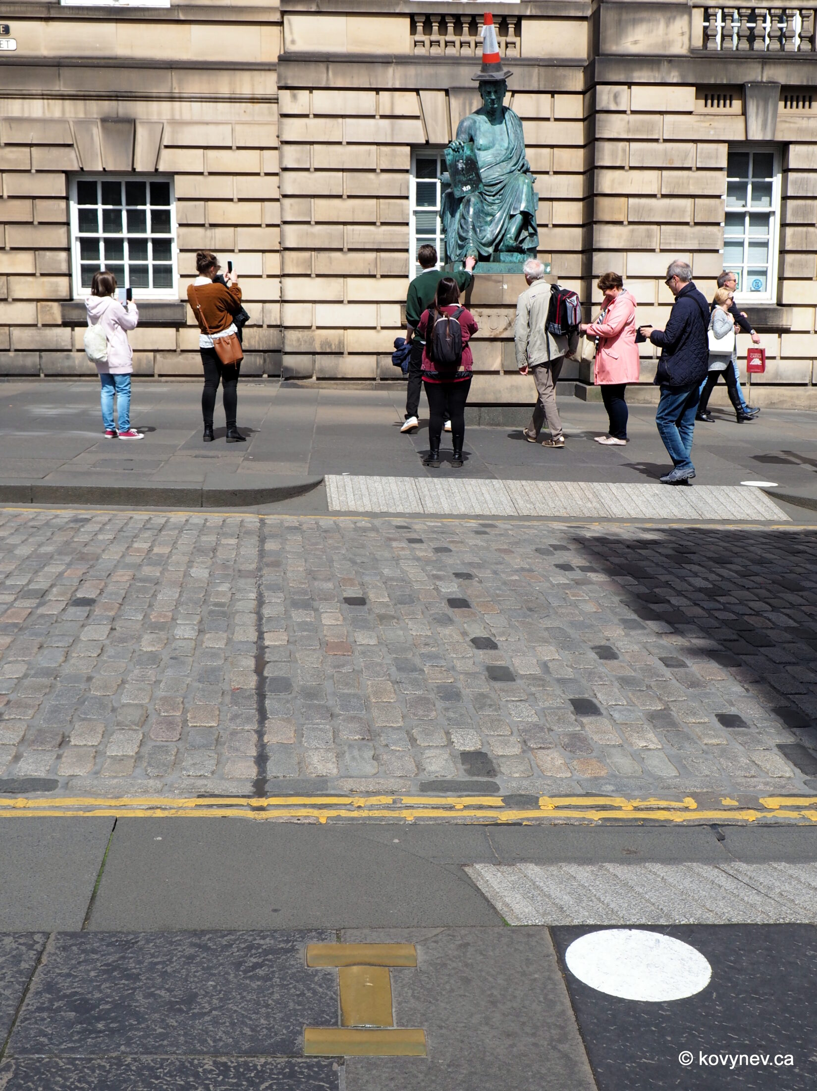
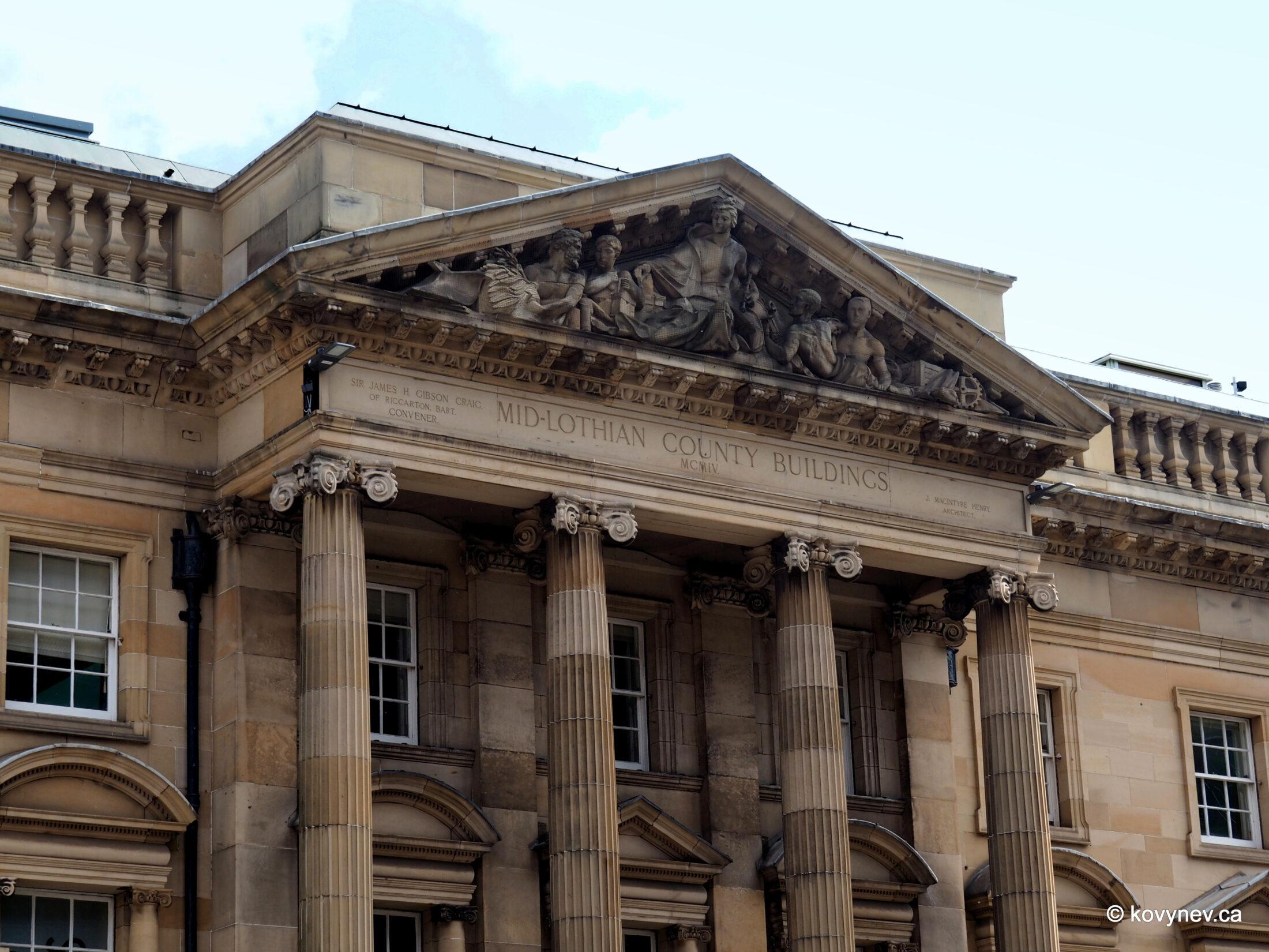
It was historically the "judicial" area in Edinburgh. First, the court was seated in the Old Tolbooth, which was standing in the middle of Lawnmarket, right in front of this building here. Once the Tolbooth was demolished to widen up the street, the court moved to this newly constructed building in the Classical style. (There is now a heart-shaped mosaic in the pavement, marking the spot of the Old Tolbooth).The statue in front of the High Court is David Hume, the 18th-century Scottish philosopher, one of the most influential thinkers in the Western philosophical tradition. You are all looking at the traffic cone hat some jokers furnished Mr. Hume with, I′m sure, but rather look down and note his shiny toe - people on their way to trial in the High Court (and all tourists walking along the Royal Mile) rub it for good luck.Across the street from David Hume’s statue, this brass H in the pavement marks the site of the last public execution in Edinburgh, which happened in 1864. Like I said, a very-heavily "judicial" spot.Let′s turn right again, and have a look at this building, to the right from the Royal Mile. It′s called the Lothian Chambers, and it was built as the seat of the Council of Midlothian County. The county doesn′t exist anymore - the Scots did away with counties in 1975. Now it′s all regions and districts. So, Midlothian county became Midlothian District within the Lothian Region.Historically, the Lothians, as they are also called, were the territory of the Angles, which together with the Saxons later became the English as we know them now. But then the Picts (the ancestors of the modern Scots) pushed them away and claimed this territory for themselves. Since then, the Lothians are part of Scotland. So much so that its capital is located right here.But right now, this whole building (here we see its other side, facing Parliament Square) is "occupied" by the French. It now houses the French Consulate in Edinburgh, and the French Institute - a cultural and educational institution with a library and language school. (This fancy façade, very different from we saw on the other side, is the 1904 creation in Edwardian Palladian style).And the last image in this gallery - St Giles′ St, one of the side streets that veer off the Royal Mile. It was obviously named after the same saint as the main Edinburgh′s cathedral, which is right behind us now, and which will be the topic of our next gallery.Press ESC to exit