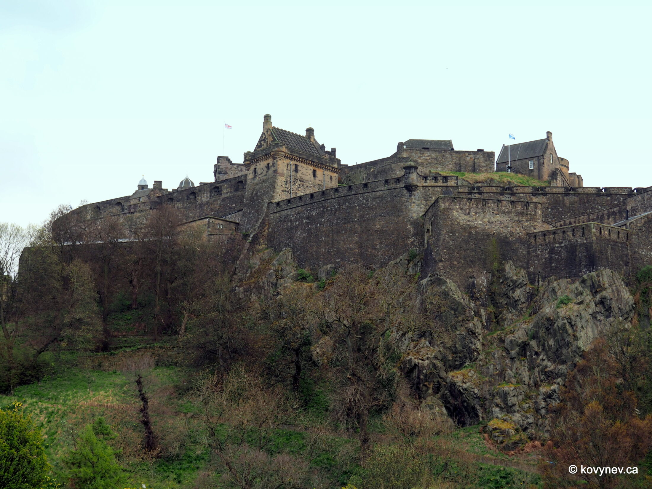
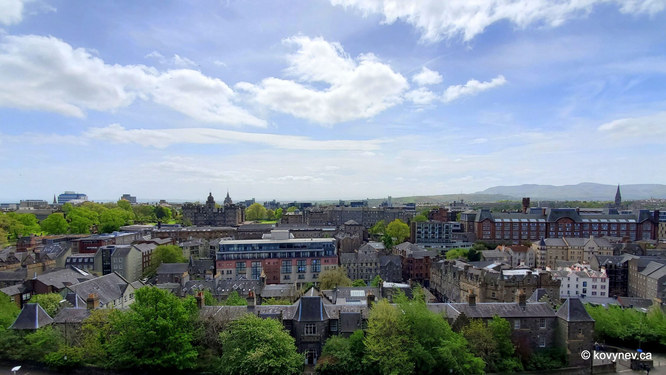
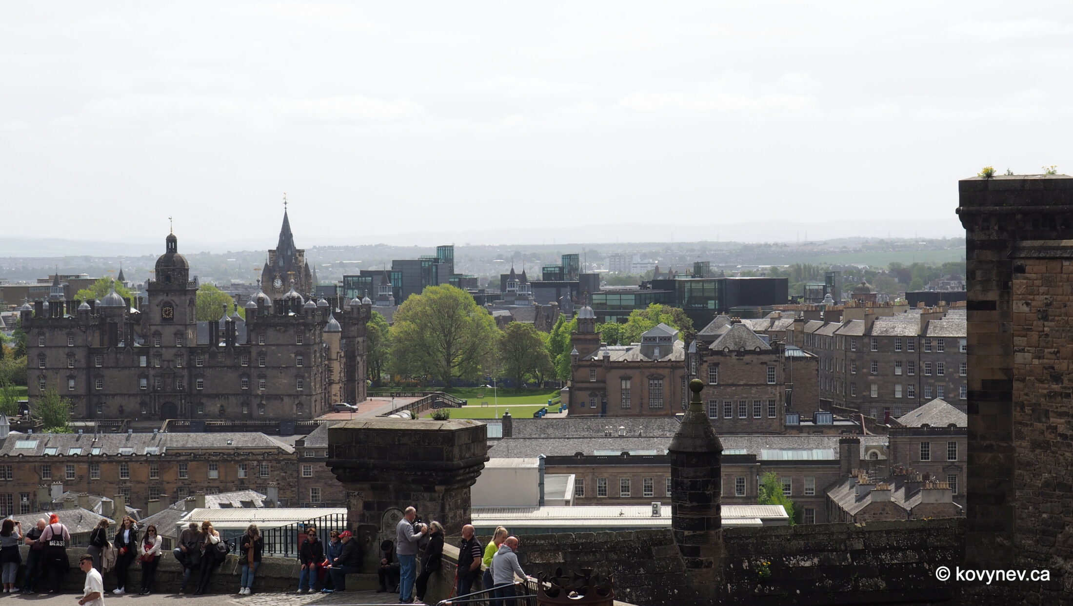
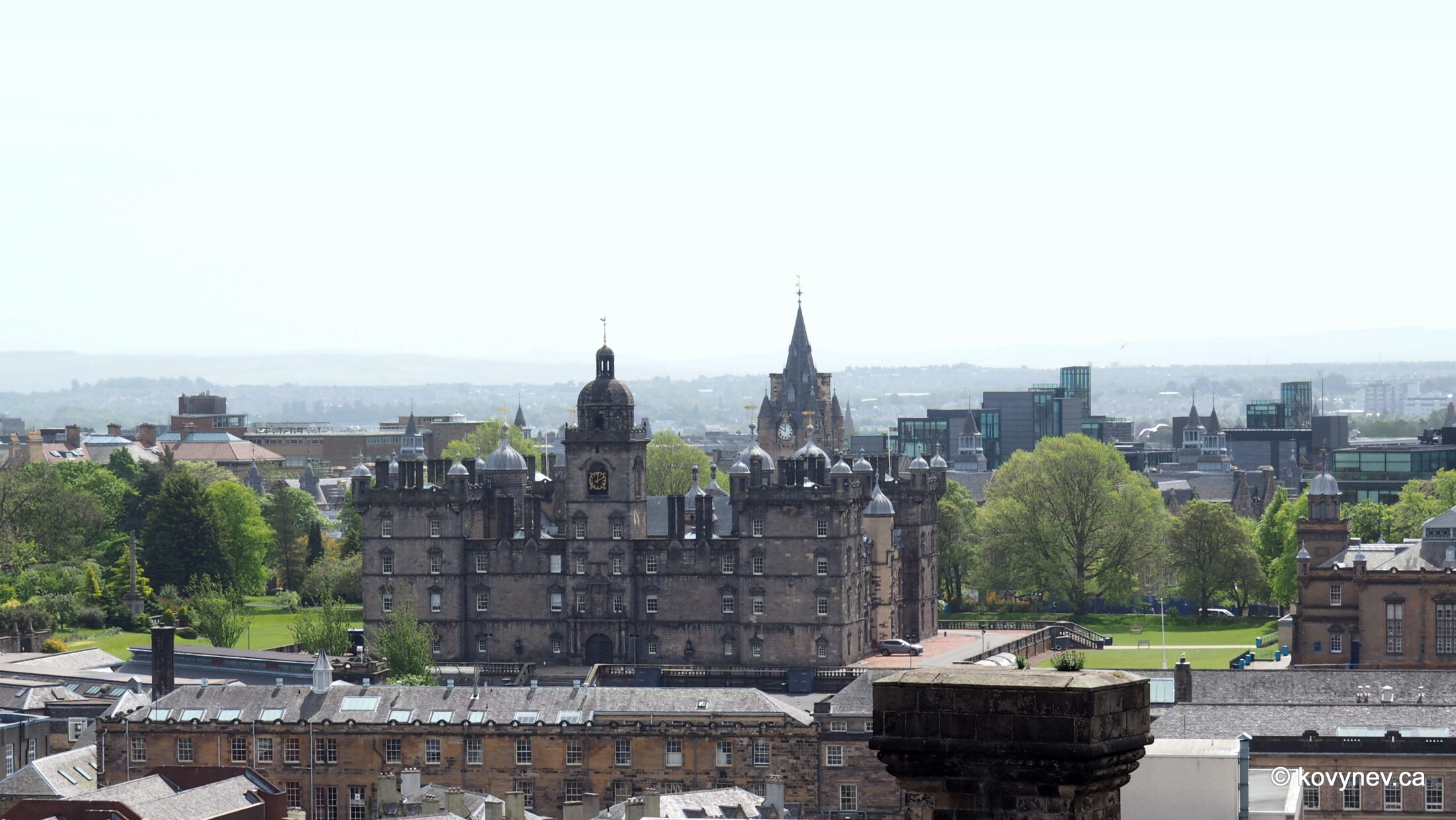
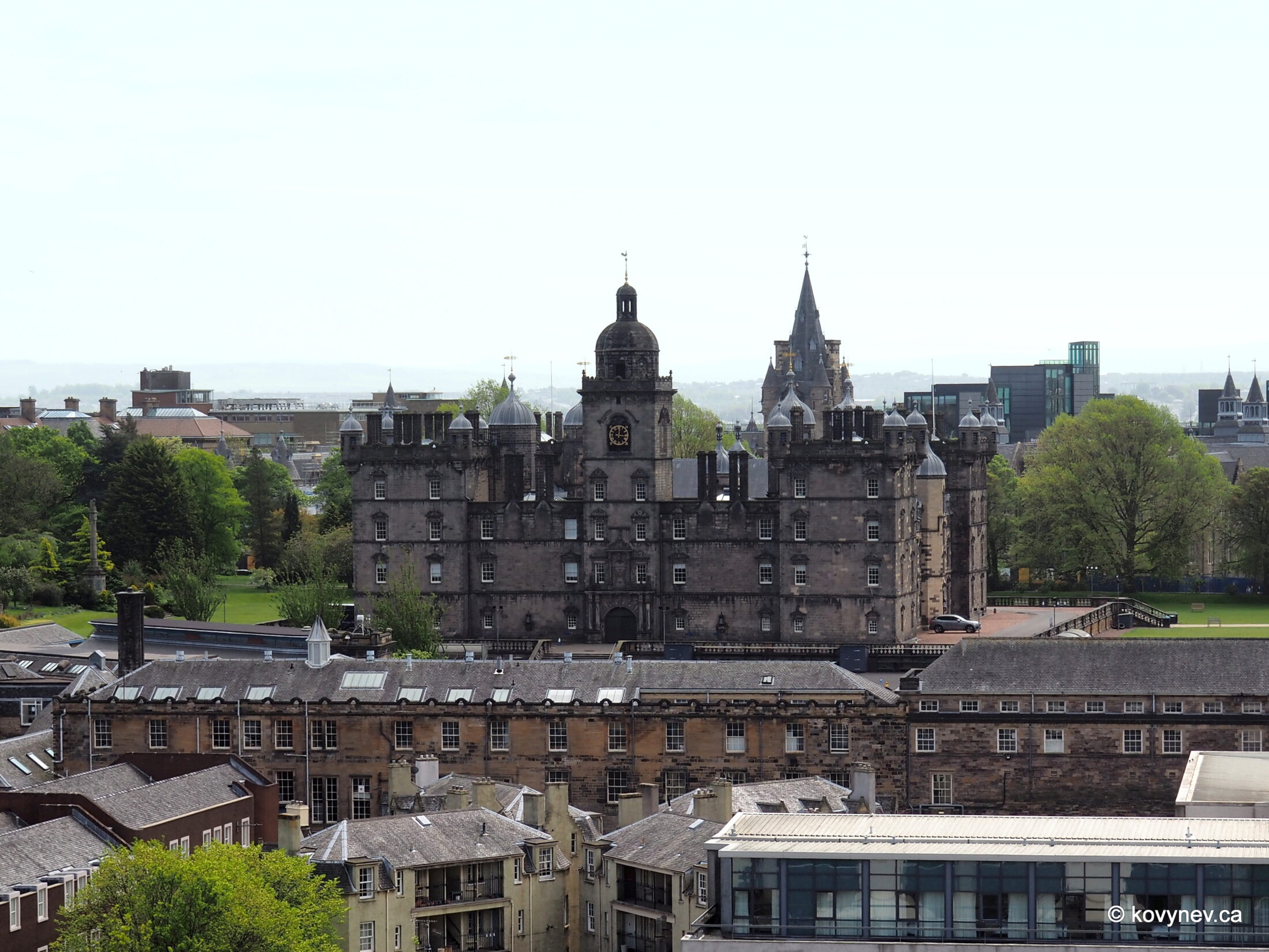
We start our tour of Edinburgh Castle from beneath it, at the bottom of Castle Rock. In order to get to the castle itself, we will have to scale a long mound, which acts like a ramp, connecting the hill with the city below. This artificial mound is called… The Mound, and it will lead us to the open area in front of the castle gates, a sort of the “antechamber” of the castle, called The Esplanade. Hence the name of this gallery.
NIKONCOOLPIX S9300 22mm
/ 5.7
/ 10/1000s
/ ISO 125
Created: 125
Uploaded: 125
Likes: 125
Views: 125
Comments: 125
-1
-1
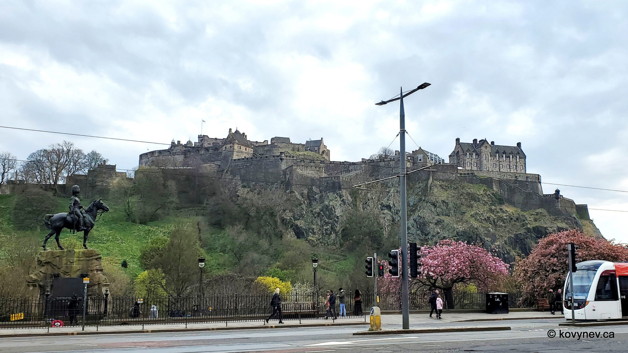
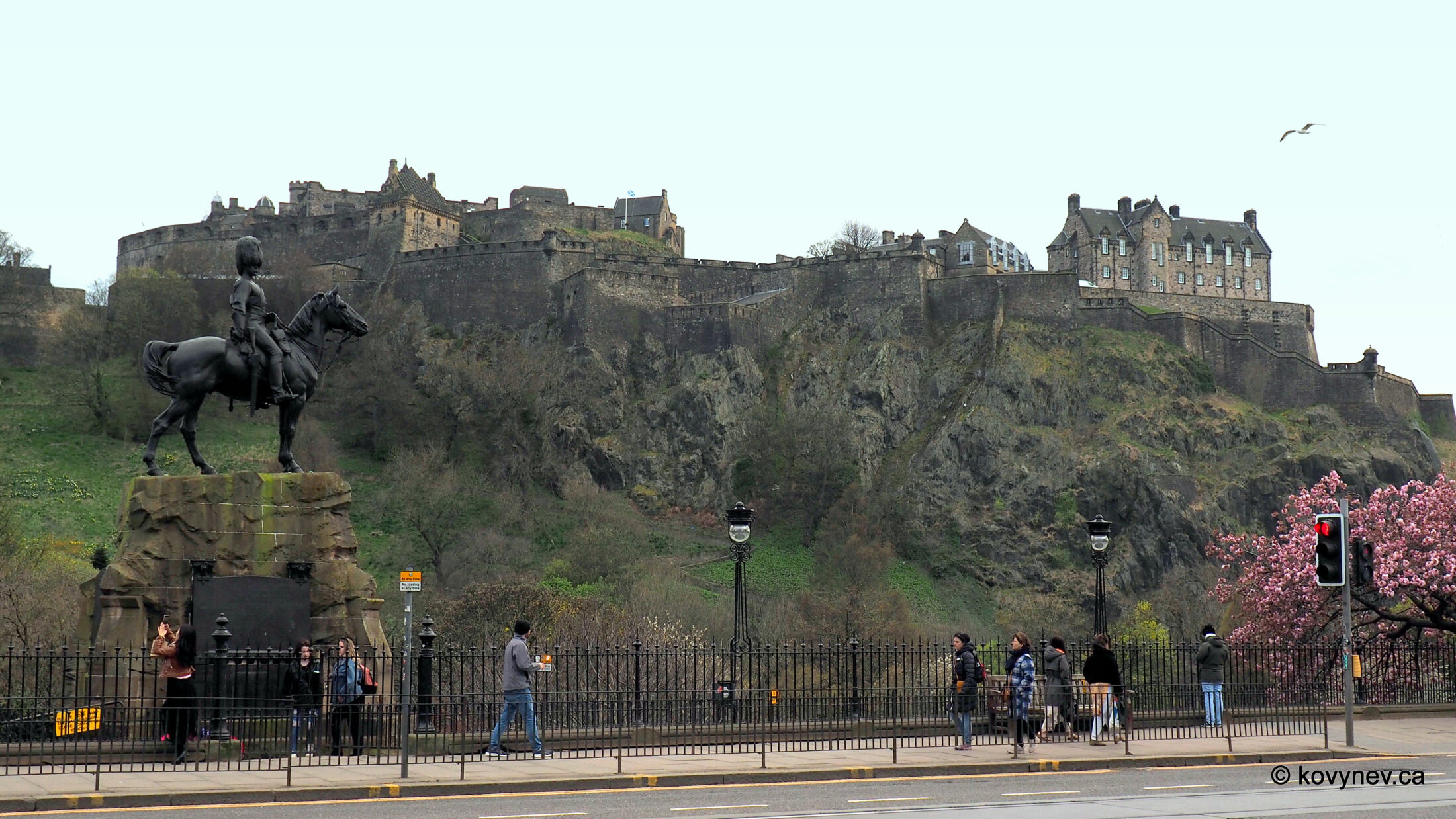
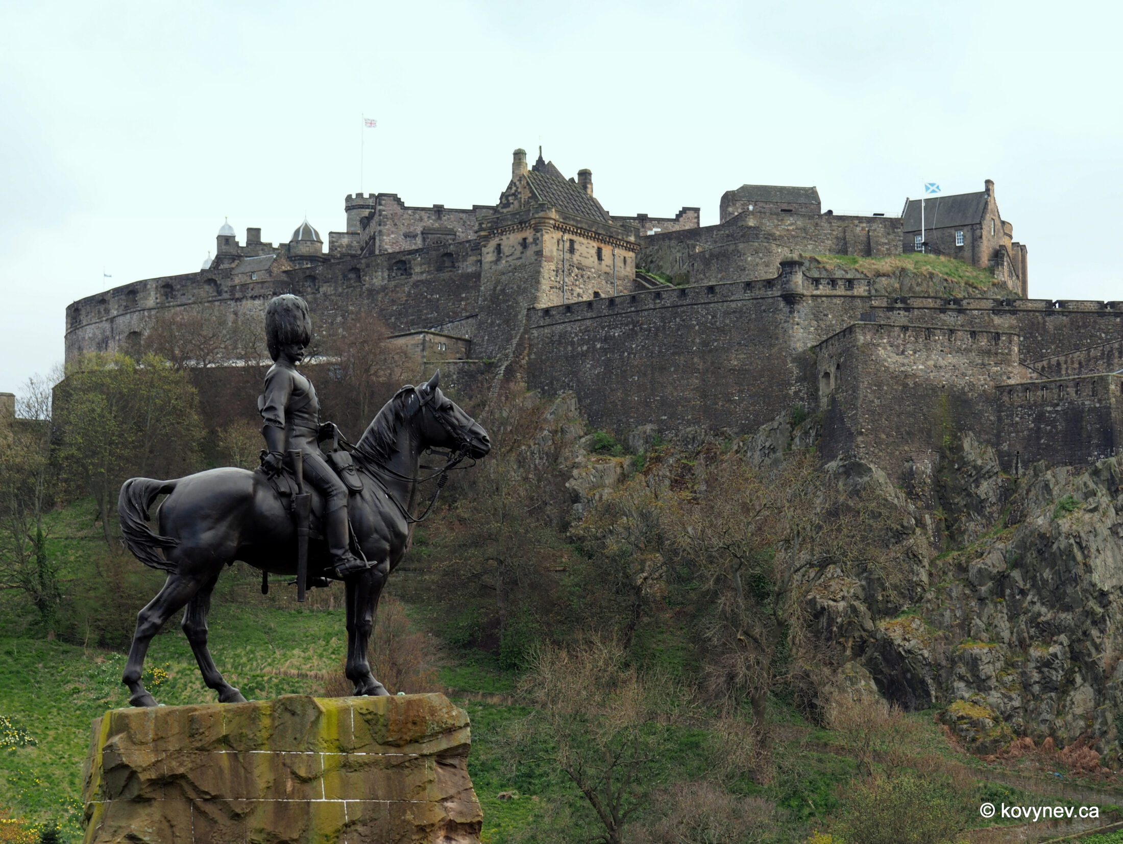
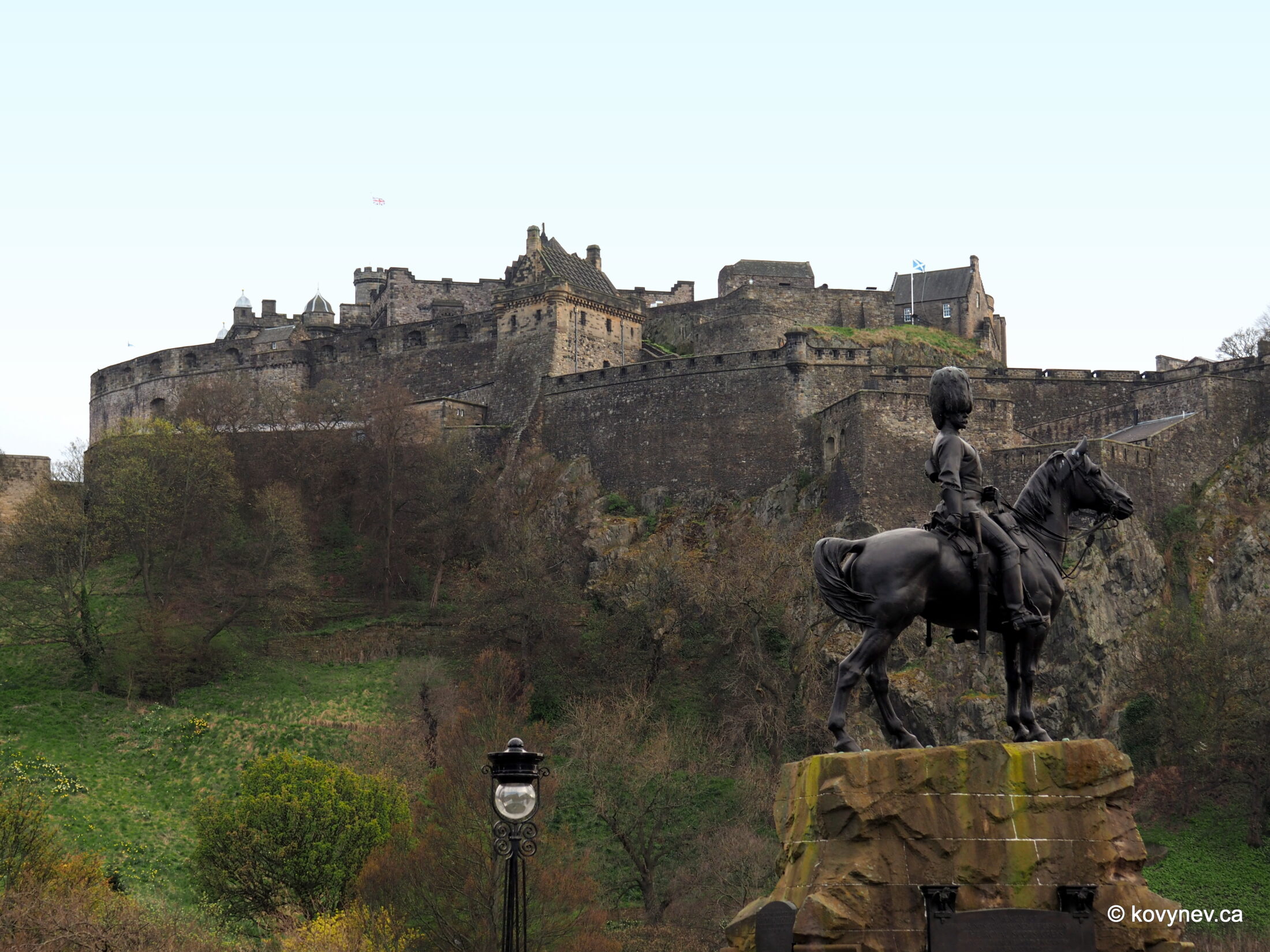
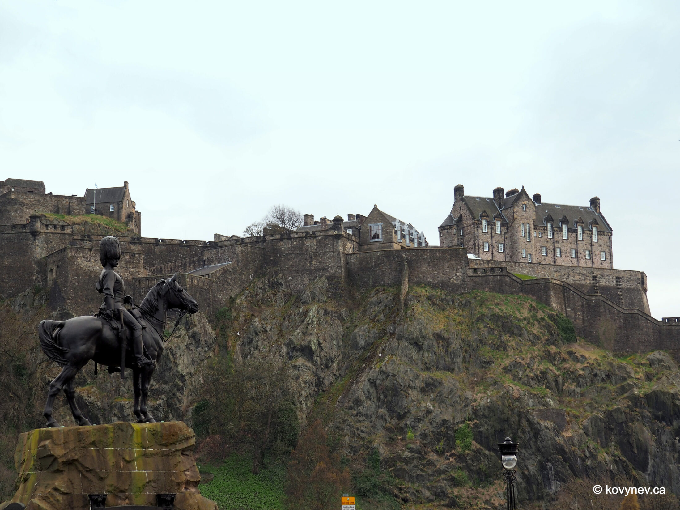
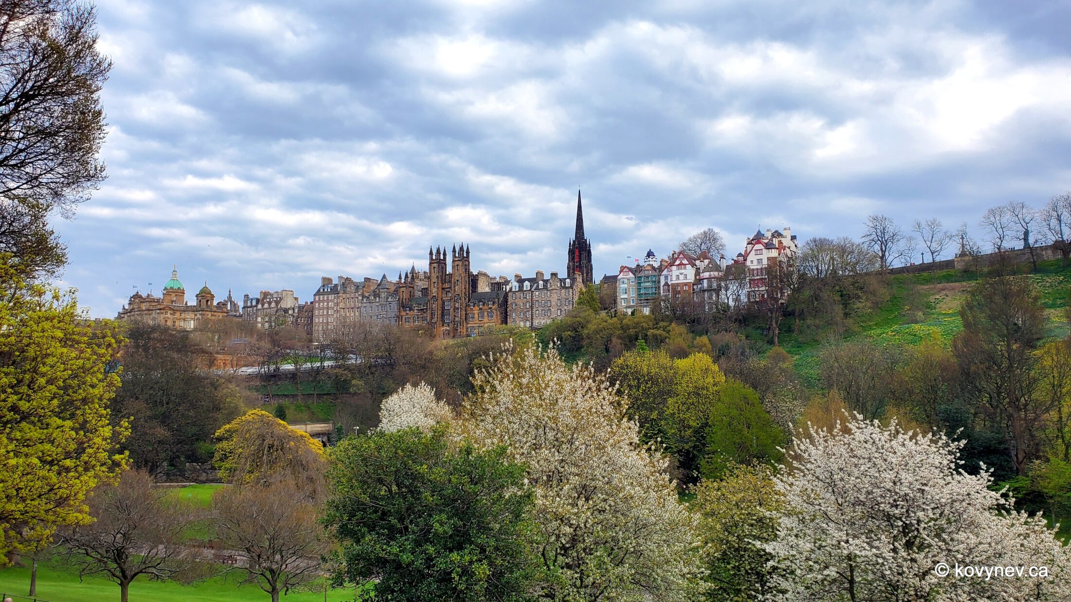
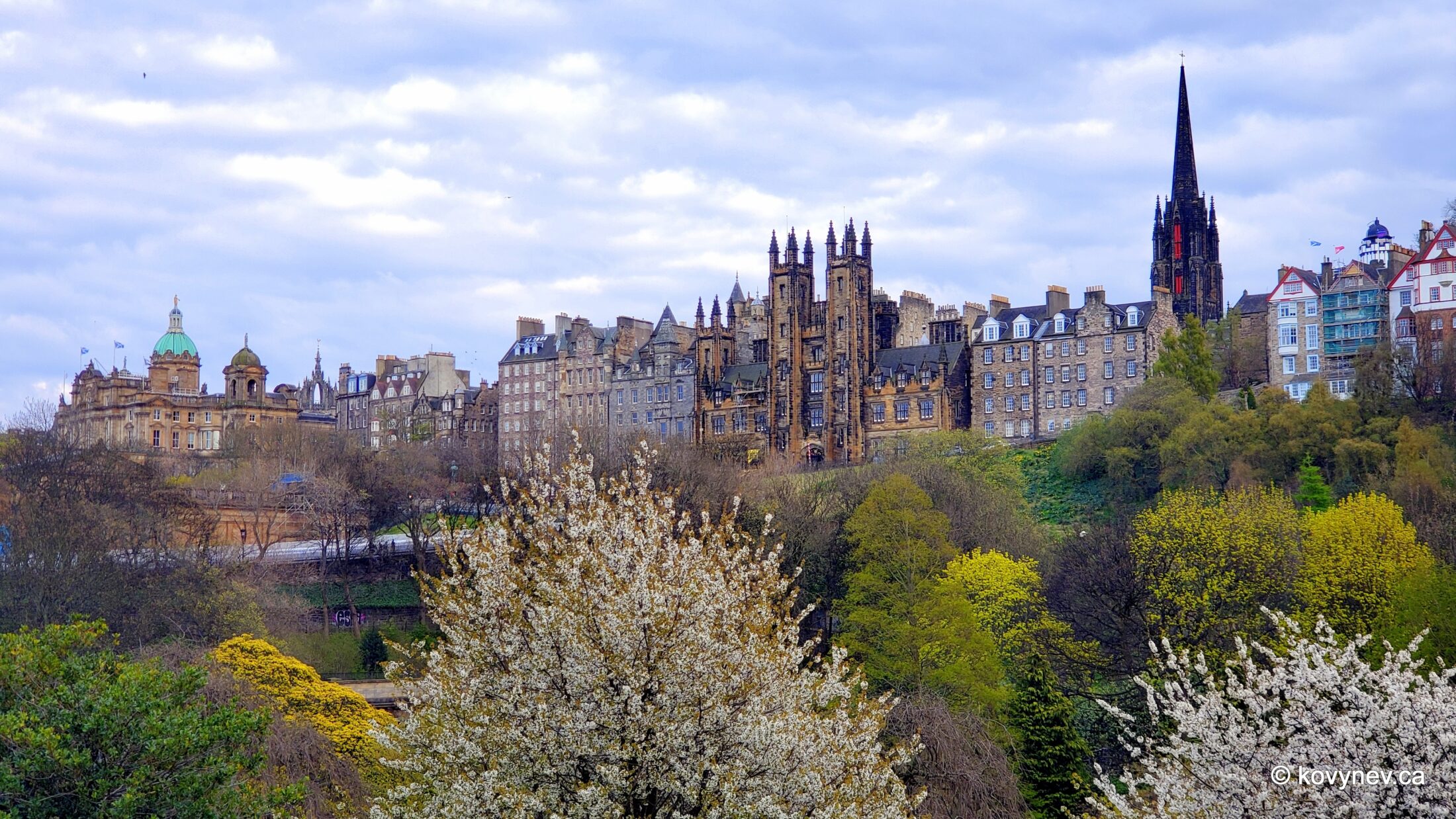
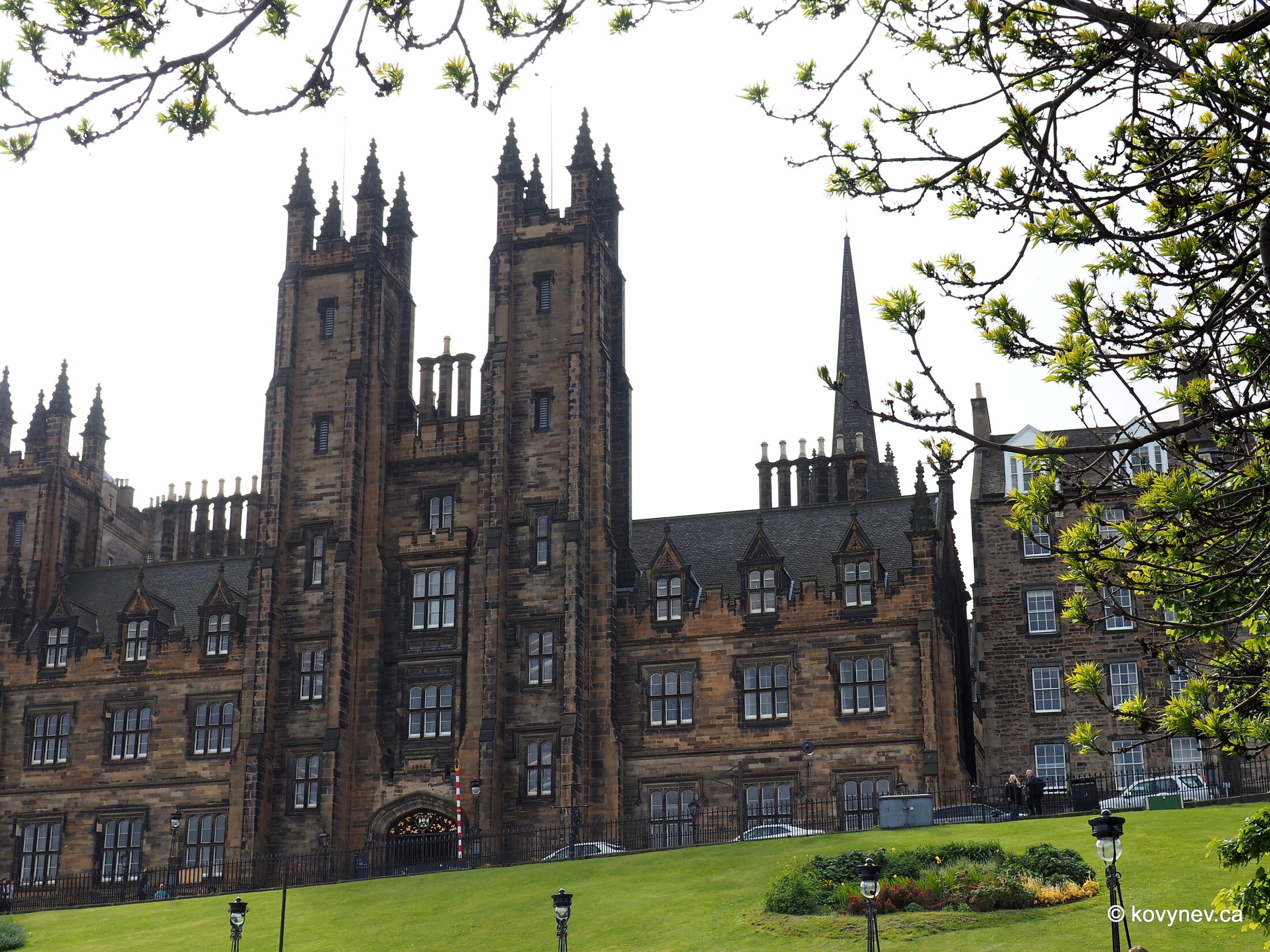
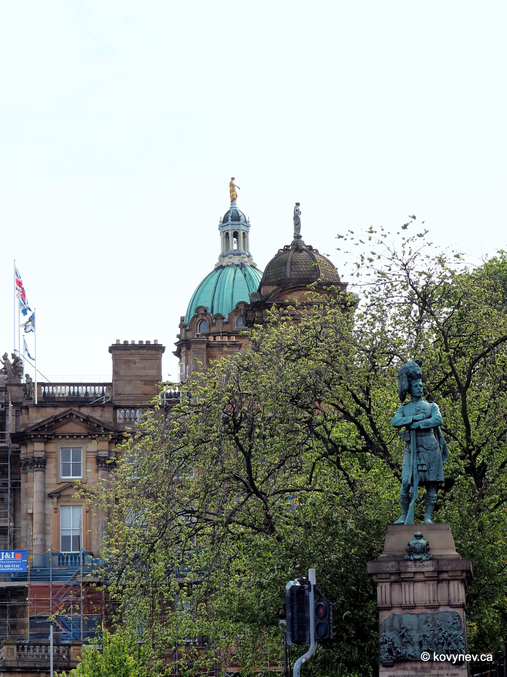
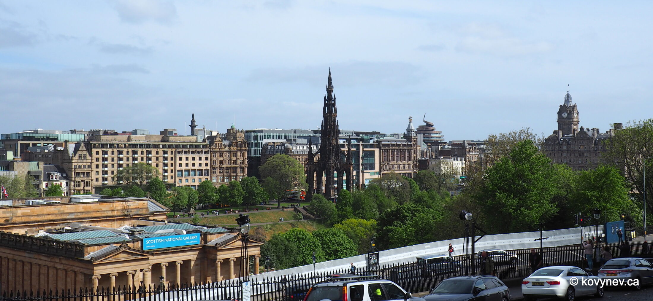
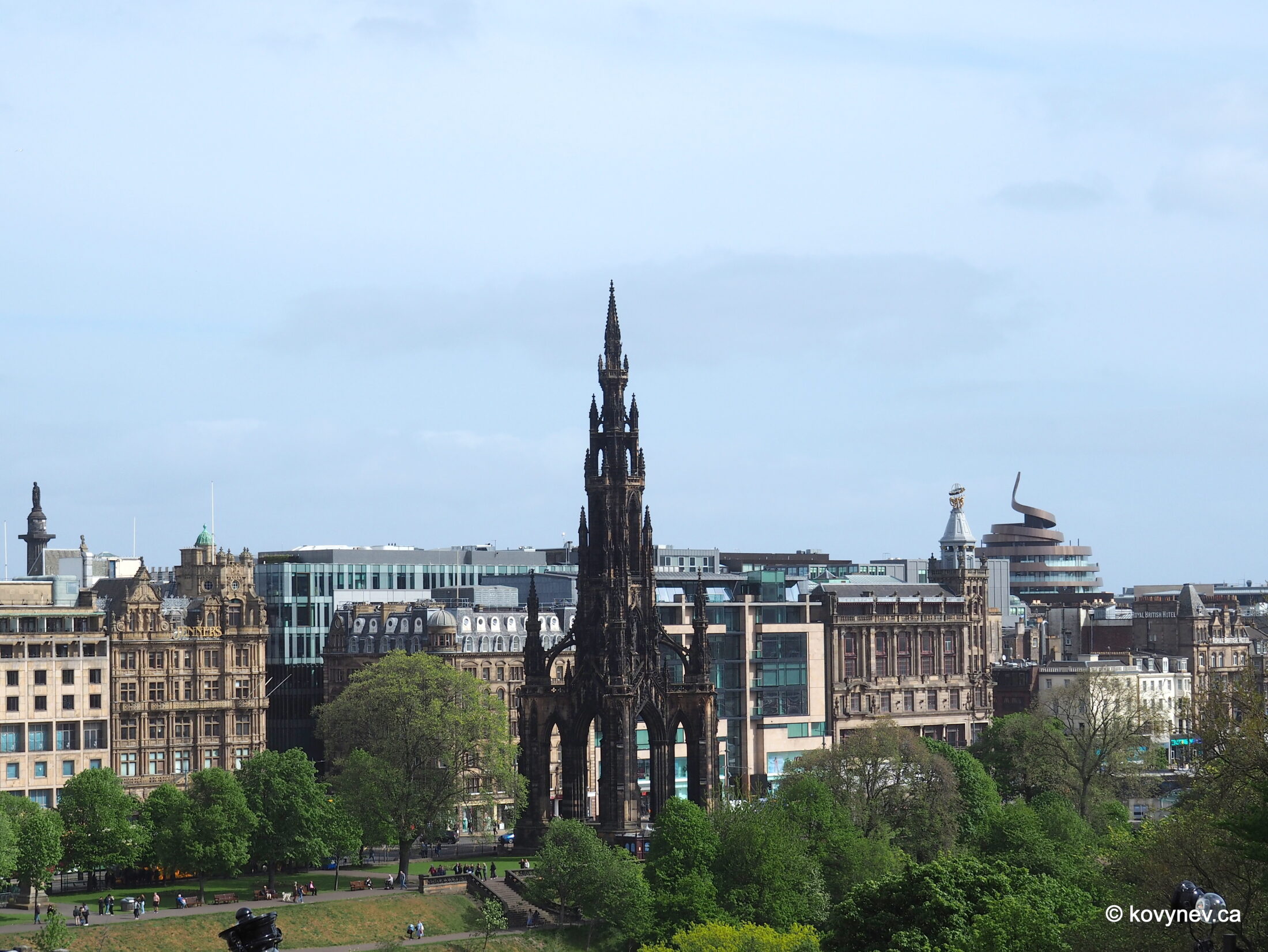
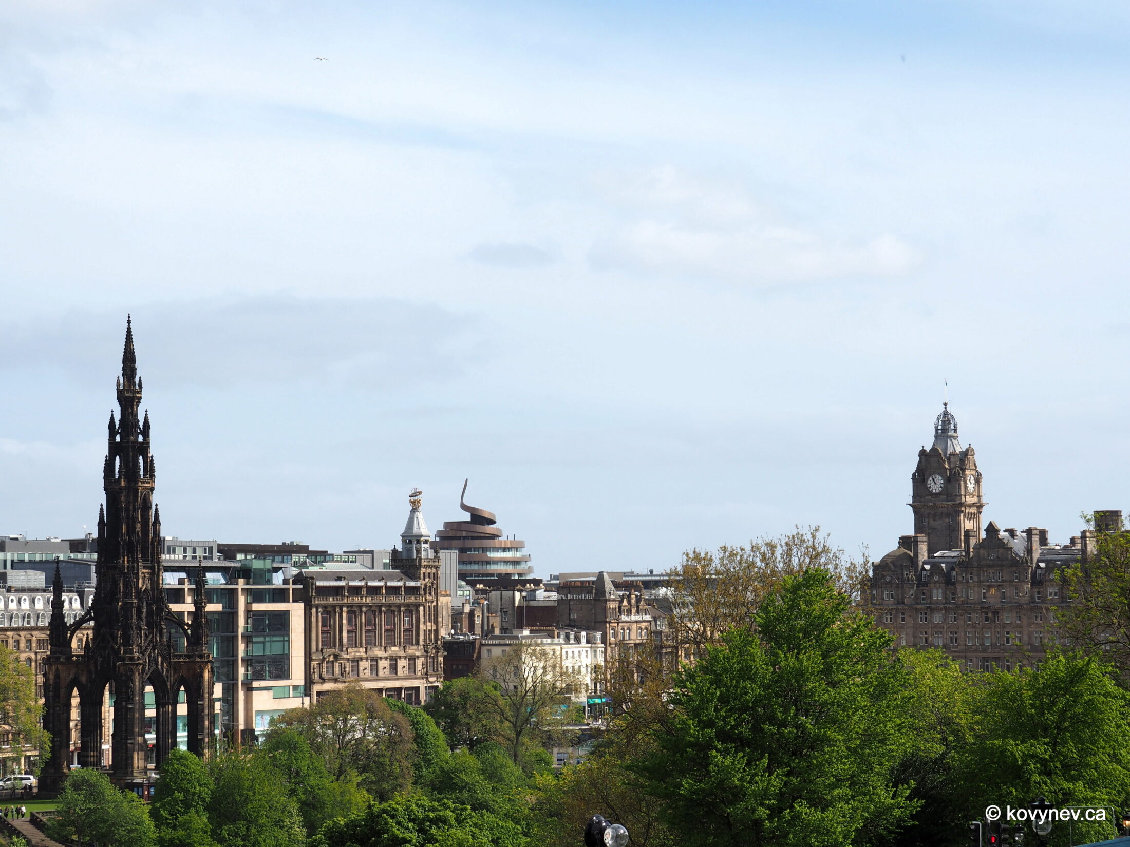
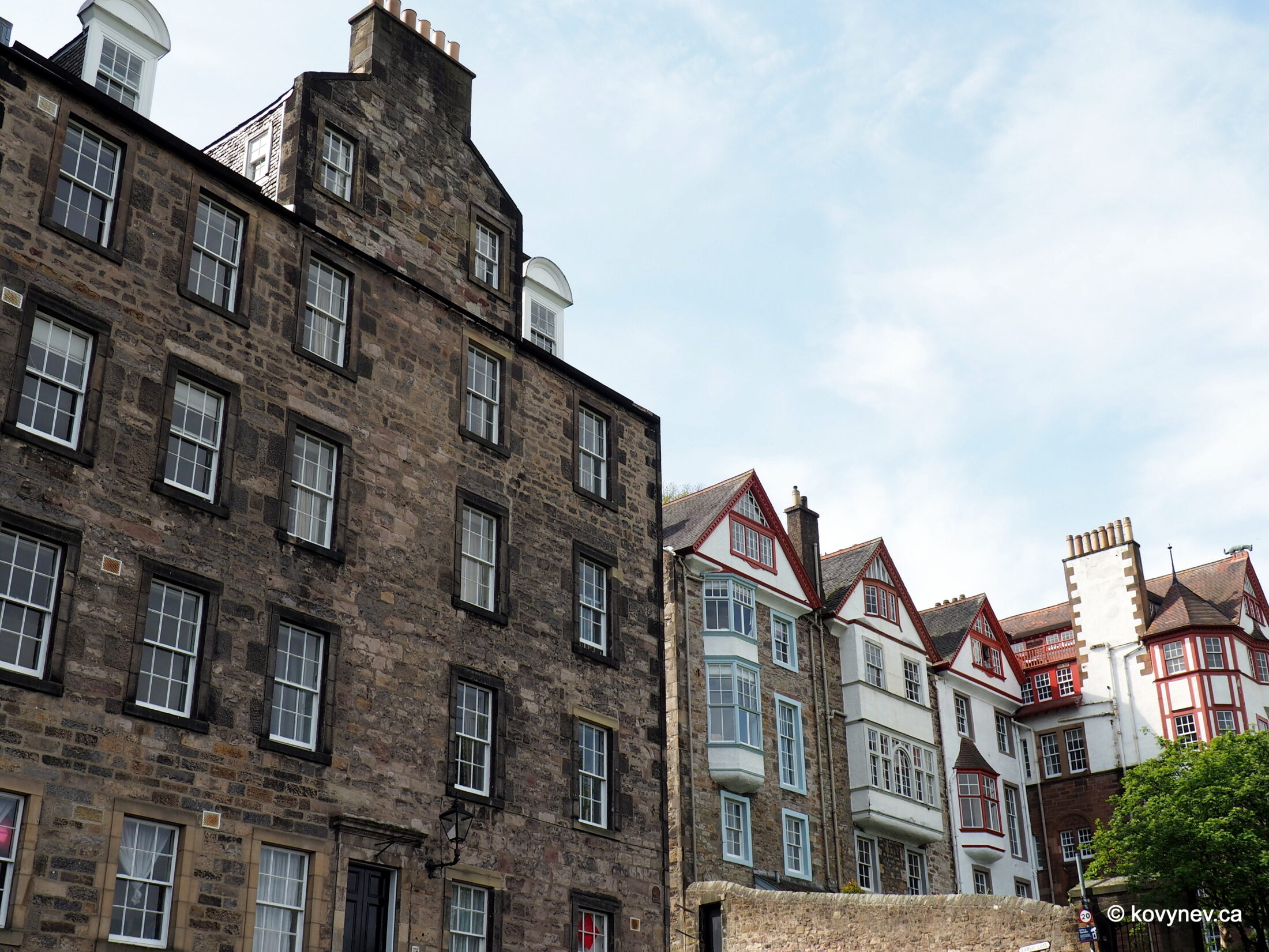
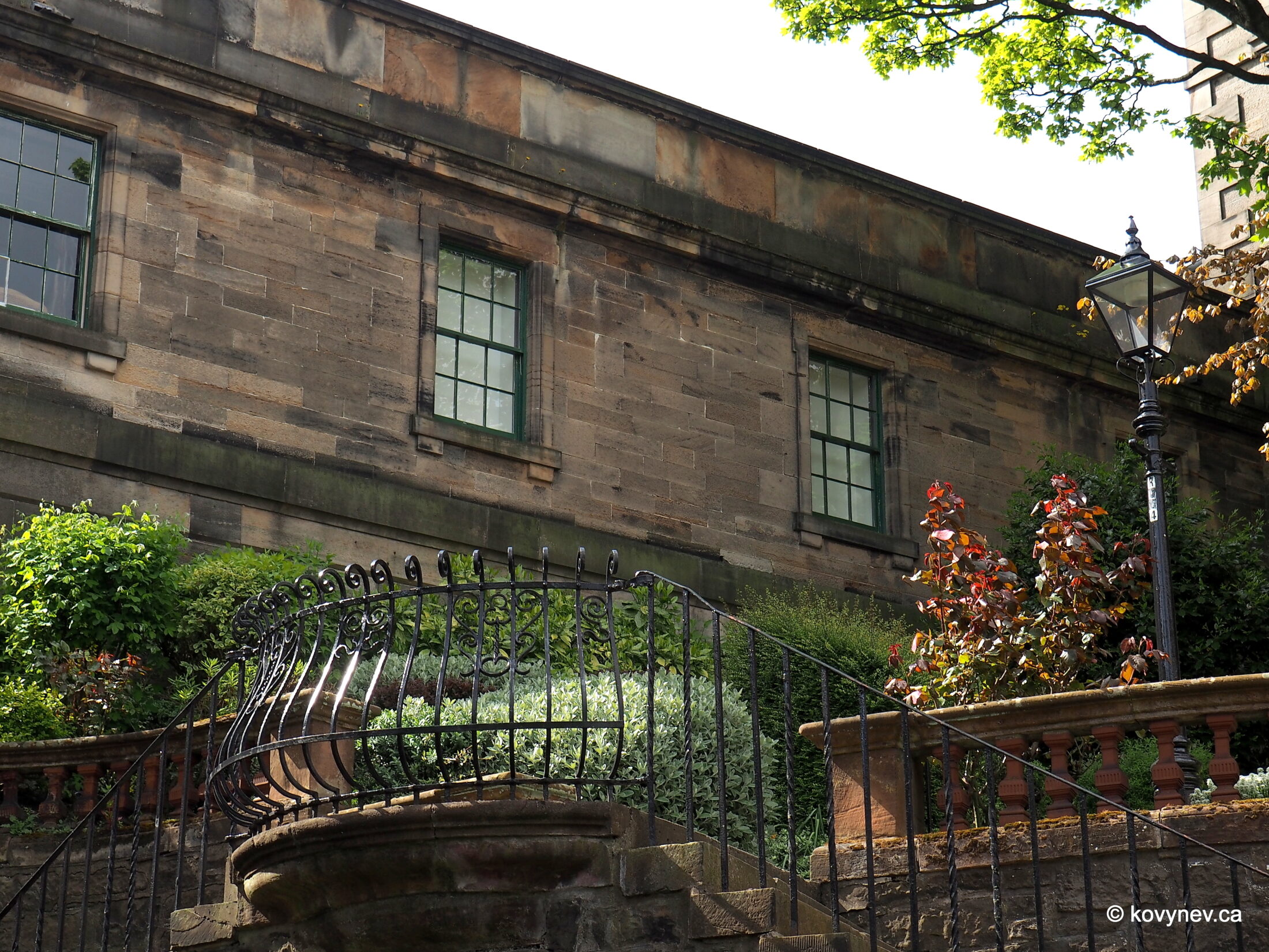
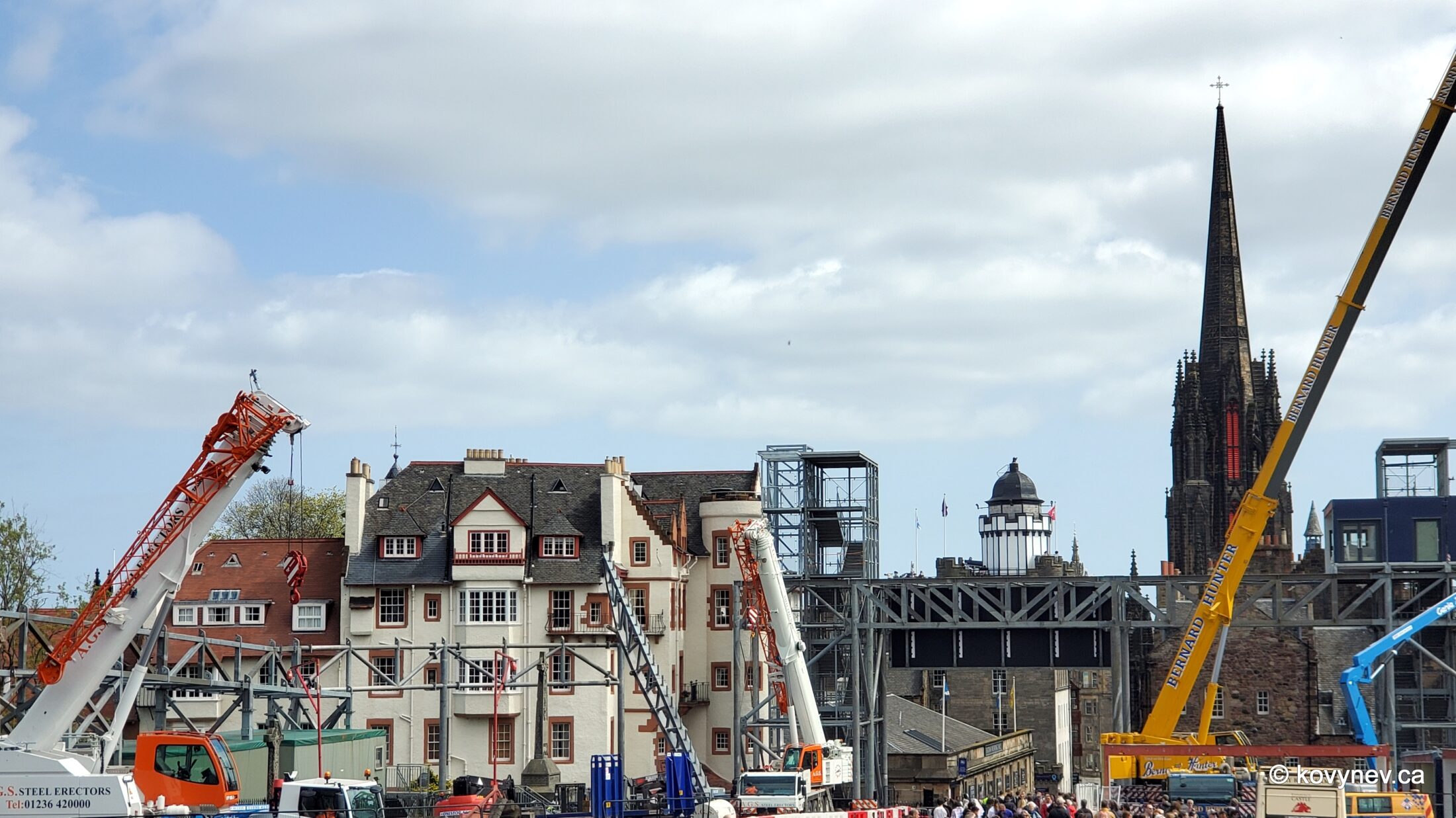
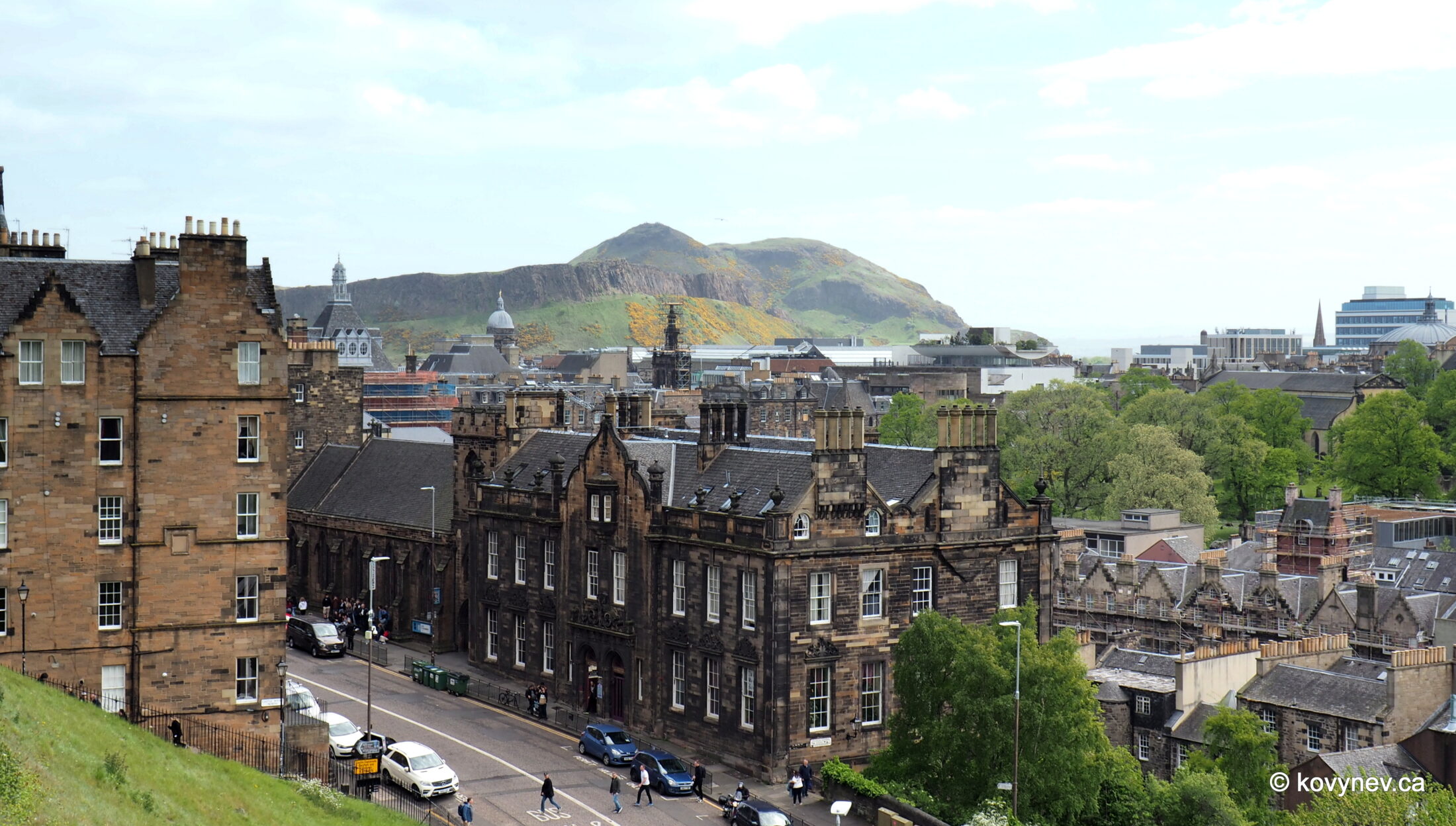
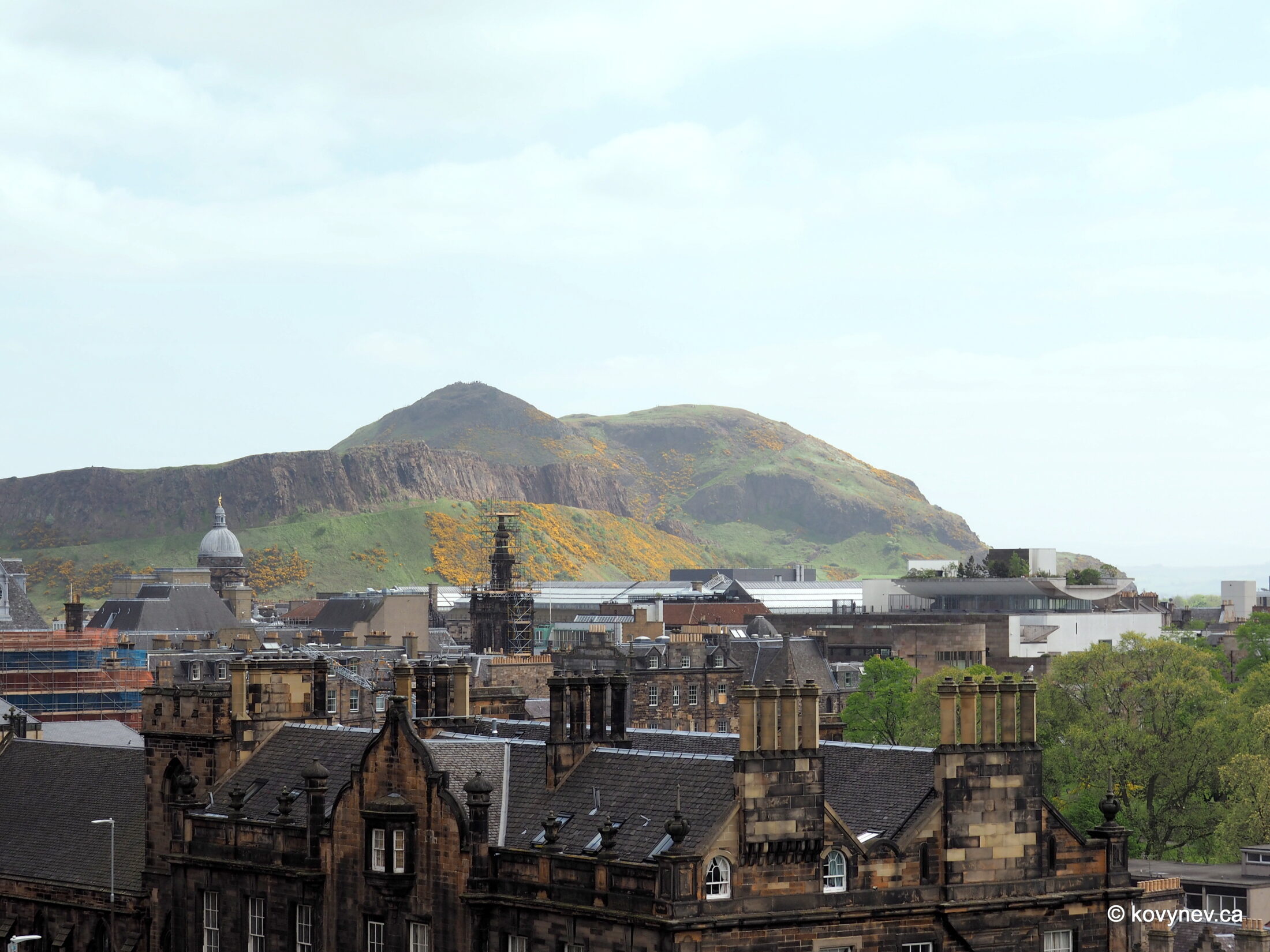
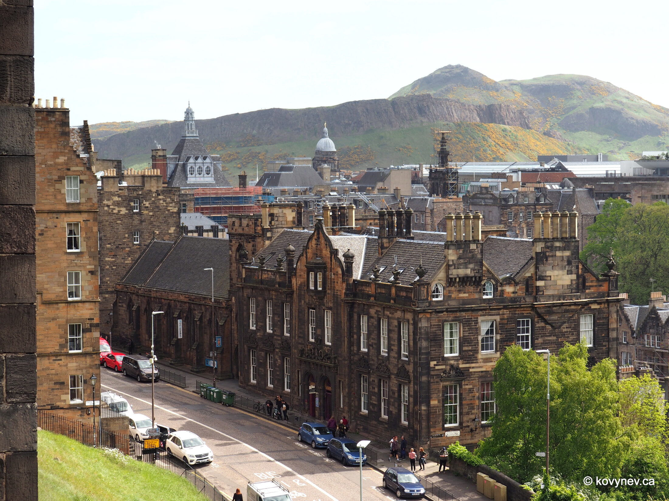
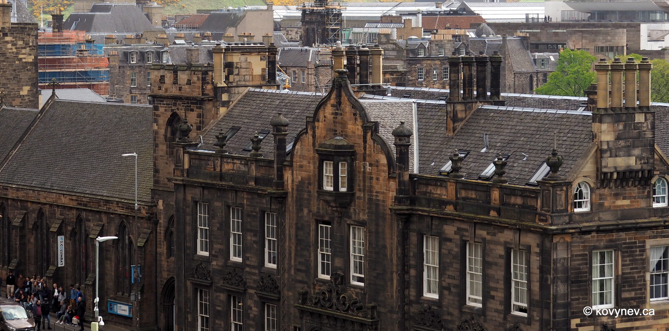
This is the best vantage point for observing the whole of the castle - the intersection of Princes St and Frederick St on the New Town side of the city. (Which would be to the north of the castle). Here you see the whole of Castle Rock with its sheer basalt cliffs of 130 m in height, and the tail left by the glacier, to the left, covered with green grass. As you can see, the first settlers really chose the best spot in the area in terms of military defences. Those settlers were the Picts, a Celtic people, which populated the most of Scotland at the time. Together with the Gaels, the Picts will eventually have become the progenitors of the modern Scots. We don′t have a lot of information of what happened on Castle Rock at those early times (the archaeological evidence is buried under the castle), but we know that by the 12th century, the city on top of the hill already had walls around it, making it the first iteration of Edinburgh Castle.This panoramic view gives us a very good appreciation of the unscalable sheer cliffs, which are perfect natural defences of the castle. However, these cliffs were successfully scaled at least once, on a dark night in March of 1314, when the Scots surprised the English guards and recaptured the castle for themselves.This happened during the First War of Scottish Independence, which started as soon as the English invaded Scotland in 1296. This was only the first such attempt by the English in a long history of a very, should I say, complicated relationship. The Royal Scots Greys, a monument to whom you see here, is an evidence of that.The Royal Scots Greys were a cavalry regiment in the Army of Scotland. (They rode grey horses and their uniforms were grey, hence the name). After England and Scotland formed the United Kingdom in 1707, the word "Scots" vanished from the regiment′s name. They have become the Royal North British Dragoons, North Britain being an English euphemism for Scotland.Since we are on the subject... Those Scottish kilts we all think we know (a men′s skirt with an elaborate pouch on the front) has nothing to do with the real thing. That′s the way the British nobility appropriated a traditional Scottish garment, making it a fun party dress. The real kilt is a long piece of heavy wool (no embellishments), which a person completely wraps themselves with, to stay warm and dry in the cold drizzle of the Highlands.Let′s return to that night raid in 1314, though. When the Scots had to swarm the castle walls after having climbed those cliffs, they realized that such almost impenetrable defences were bad news for them as much as they were for invaders. Somehow, they knew, probably, that this invasion was not the last one, and they would have to recapture the castle again and again. So, what did the Scots do after they recaptured the castle then, in 1314? They razed those walls to the ground and didn′t bother rebuilding them for a half-century. This marks the beginning of a gradual process of Edinburgh castle becoming less of a fortress and more of a royal and government residence. Ok, we are done with the castle for now. Let′s have a good look at that tail of the crag created by the glacier. The ridge (all covered with green grass now) is gradually sloping downwards to the level ground, so it was naturally the first area to be settled beyond the castle walls. Now it′s the oldest part of the Old Town and it′s called the Royal Mile. Technically, the Royal Mile refers to an actual road, which connects two royal residences (the palace in Edinburgh Castle and Holyrood Palace), and is approx. 1 mile in length. Hence, Royal and Mile. We will walk it in its own time, but first, let′s get to the castle. To do this, we will have to pass by those very buildings at the top.Here we are already walking up the Mound, an aptly-named mound built specifically for reaching the castle from the lower level of the New Town. We see in front of us a street called Mound Place, which we will also have to walk to continue climbing up the hill. The building in the previous picture and here is the historic Assembly Hall of the Church of Scotland. As you can see, it was built in 1846. The building is now part of the University of Edinburgh, so it bears its coat of arms above the gates.The partial building to the left is still the Assembly Hall, and the building next to it is a student dormitory, Patrick Geddes Hall, named after a famous Scottish figure and at one time a University of Edinburgh lecturer.The Black Watch monument, to honour a military regiment, which patrolled the Highlands, "watching" over it. They wore dark tartans, and in Gaelic "dark" and "black" is the same word (Dubh). Hence the name. [Notice how in our first few steps in Edinburgh we′ve already encountered 2 military monuments. It′s a thing in the whole of the UK. This country is PROUD of its former military prowess.]At the top of the Mound, let′ stop for a sec and look around. Here, at the bottom to the left, we see Scottish National Gallery, as advertised on its roof. The building right above the Gallery, one of the two modern-looking ones, is the hotel I stayed at during this trip to Edinburgh. With the full view of the castle and the Royal Mile. Not too shabby, huh? A closer image of a monument in the centre of the previous picture. This is Walter Scott memorial, a monument to the Scotland′s greatest writer. (If you thought of Rabbie Burns just now, I meant - in prose, not verse.) This monument is omnipresent in Edinburgh, and you will see it a million times more while we are here.That wiggly-domed building to the right of the Scott Monument (that′s its official name) is a new fancy hotel, widely regarded by the Edinburghers as an abomination and a blight on their beautiful city. The tower to the right is The Balmoral - an old hotel, looking the way they are supposed to look here. Ok, let′s keep going. We are now passing Patrick Geddes Hall. It′s a good place to say a few words about him. He was a man of many talents, but his biggest accomplishments were in urban planning. He was one of the first people who actually suggested that cities need to be planned, not just evolve naturally. ⇨ ⇨ And not just planned, but planned with the needs of the inhabitants in mind. He implemented his ideas in practice, buying pieces of Edinburgh′s slums and converting them into something much more suitable for humans to live in. Like something we will see in a second, after we turn the corner of Patrick Geddes Hall into Ramsay Lane here. ⇨⇨ This little alley off Ramsay Lane is called Ramsay Garden, and this is one of the examples of Patrick Geddes′s work - separate dwellings suitable for one family, where tenements once were. ⇨⇨ Tenements are technically just apartment buildings many of us live in today, only with a bad connotation of ghetto-style slums, common in big cities in medieval and pre-modern times. Not in Edinburgh though - tenements along the Royal Mile were a hodgepodge of different types of residents. The poor lived in the basements and the upper floors, while wealthier residents occupied the comfortable lowers floors. Those cute "gentrified" houses of Ramsay Garden we just saw are facing this - the back of a building on Castlehill, one of the streets forming the Royal Mile. This means, the castle is really close now.And after turning into Castlehill and walking along it just a few steps, we arrive at the Esplanade. This is a parade ground laid out in the 18th century, and still used for public events like pageants and concerts, today. On these occasions, bleachers for the spectators are built around the Esplanade. Looks like exactly what is happening in this picture.While we are on the Esplanade, it will be a shame not to stay a while and have a look at the part of the city to the south of Castle Rock. The Esplanade′s terrace is the best vantage point for that.Here we see to the left George Heriot′s School, one of the oldest and most posh Edinburgh schools, established in the 1600s by bequest of the royal goldsmith George Heriot. Back then the school stood in an open field right outside the city walls.Very sly fellow was this George Heriot. As a goldsmith to the king, he would become very rich being paid by the king for all the trinkets kings cannot go without. And then he would get even richer lending the king′s money back to the king, with an interest, obviously. A goldsmith and a usurer. Genius.In his will, George Heriot bequeathed part of his fortune to the city of Edinburgh, to establish a hospital for the free education of the "puir, faitherless bairns" (translation: poor, fatherless children). Back then ′a hospital′ meant any charitable establishment, not just a sickhouse.Houses along King′s Stables Road, facing Grassmarket. Remember that name. Grassmarket is a very popular tourist spot, and we will visit there at one point.Now, let′s look to the left from where we stand. Notice that hill in the back. This is the highest elevation point within Edinburgh, and it′s called Arthur′s Seat. Obviously, the name is connected to the legendary King Arthur, and some romantically-inclined people are quick to suggest, this is where the fabled Camelot was located. Most probably, this is not true. It′s just, King Arthur is such a popular figure in the British lore that whenever a Brit sees a high hill, he, or she, is convinced it must be connected to King Arthur somehow. There are dozens of promontories all over the British Islands that bear Arthur′s name in some way.What is definitely interesting about this hill, though, that it′s another example of crag-and-tail formation, the same type of hill as Castle Rock we are standing on. And much higher - Arthur′s Seat is 250 m high, and the views are spectacular. Or so I am told. You need to hike all the way up to make sure, and I am not doing it. This building, prominently featuring in all previous pictures with Arthur′s Seat, is a hostel and really nothing special in terms of historical or architectural significance. But, like I said, Edinburgh is a kind of a city that makes you take numerous pictures of the most banal, run-of-the-mill (for Edinburgh!) buildings. So, this is one of those.Still on it. Try to notice the difference with the previous picture 😊.Press ESC to exit