The name of the gallery sounds weird, but essentially, it’s just pictures from my dash camera on the way to and from Oregon Coast. Not really the Oregon Coast pictures per se, but I have them, and I need to upload them somewhere, right?
NIKONCOOLPIX S9300 22mm
/ 5.7
/ 10/1000s
/ ISO 125
Created: 125
Uploaded: 125
Likes: 125
Views: 125
Comments: 125
-1
-1
A nice after-rain light while driving on highway WA-8, which you would use if you want to get on Hwy 101 as soon as possible when coming from Seattle.
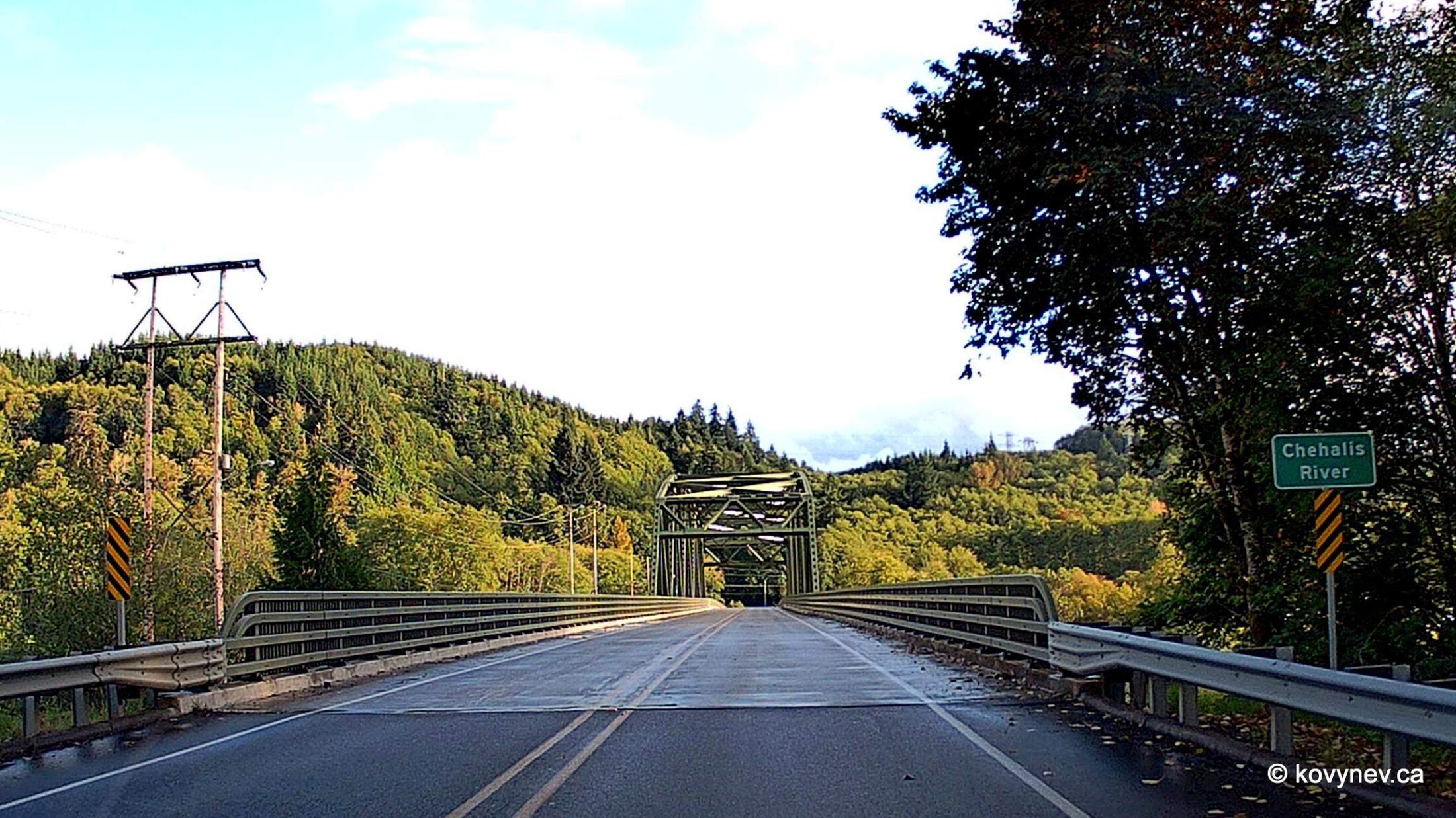
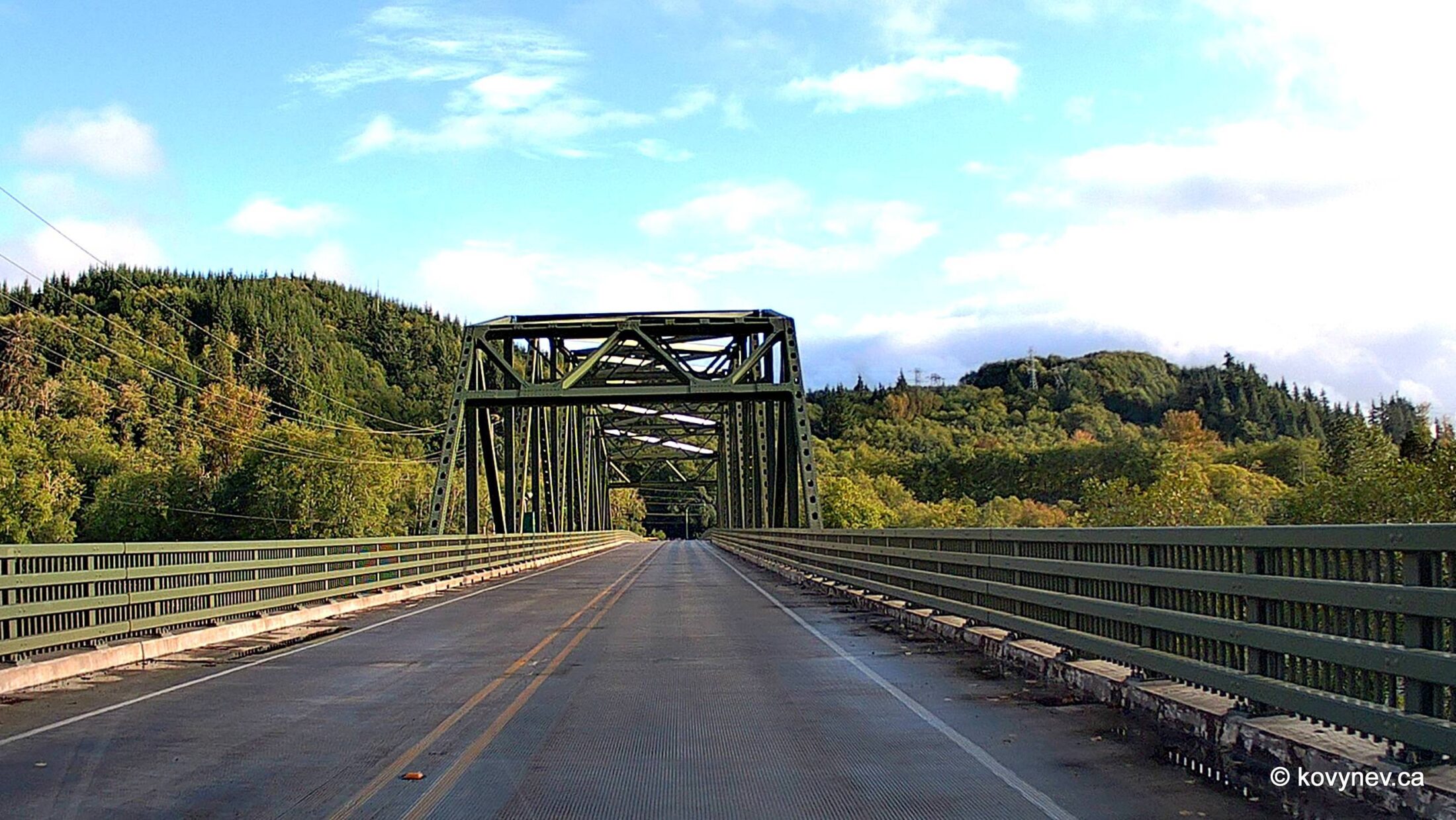
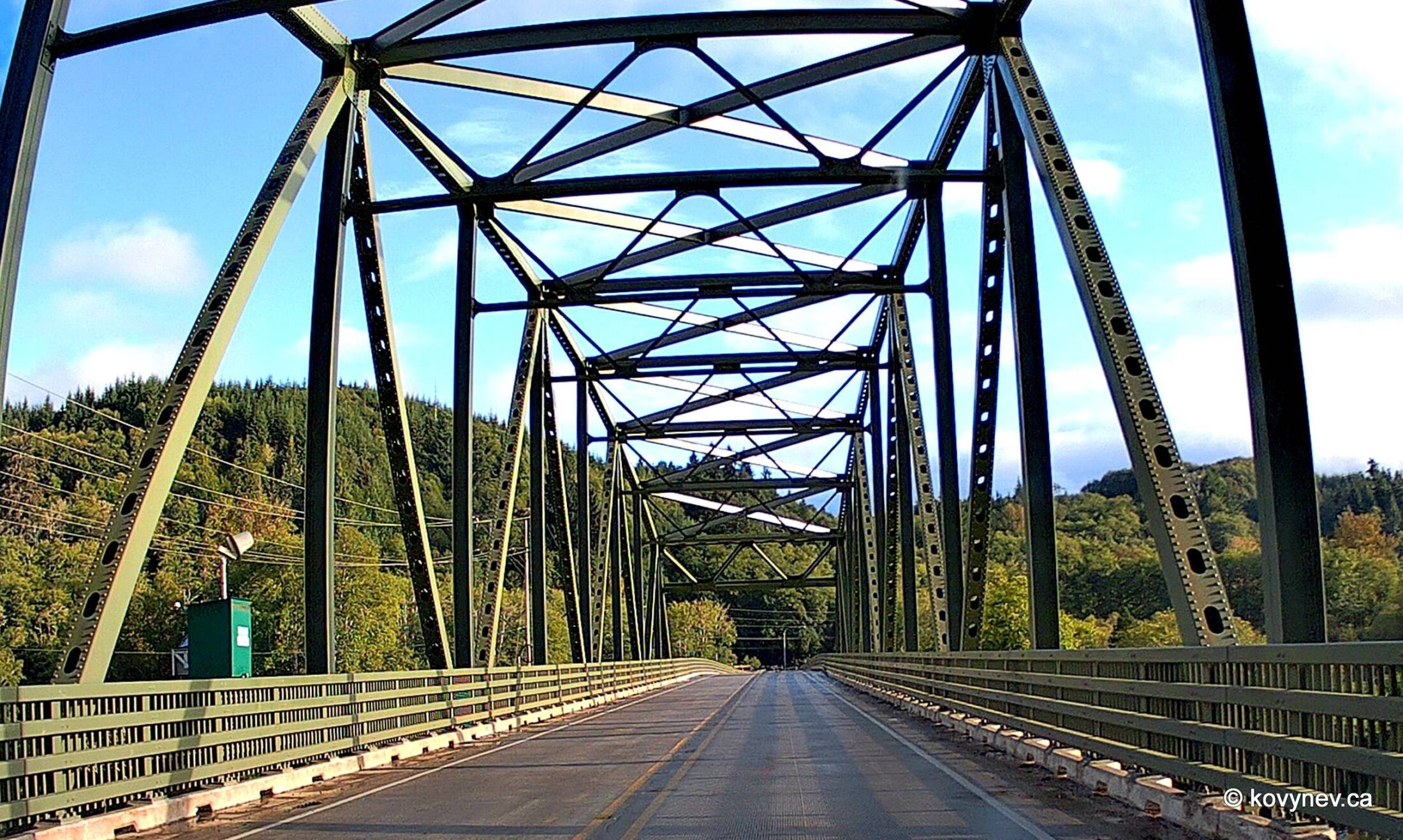
Continuing on that road, eventually you will arrive at Chehalis River (pronounced she-HAY-lis). That’s the biggest river in Washington State that is entirely contained within the state.The name Chehalis comes from a local indigenous tribe and means “a sandy place”. I am assuming, first it was the place that was called such, and then the people who lived here adopted the name.To cross the river at this point, you use a bridge called (guess!) Chehalis River Bridge. (I love these steel bridges. We will talk more about them a bit later in this gallery.)
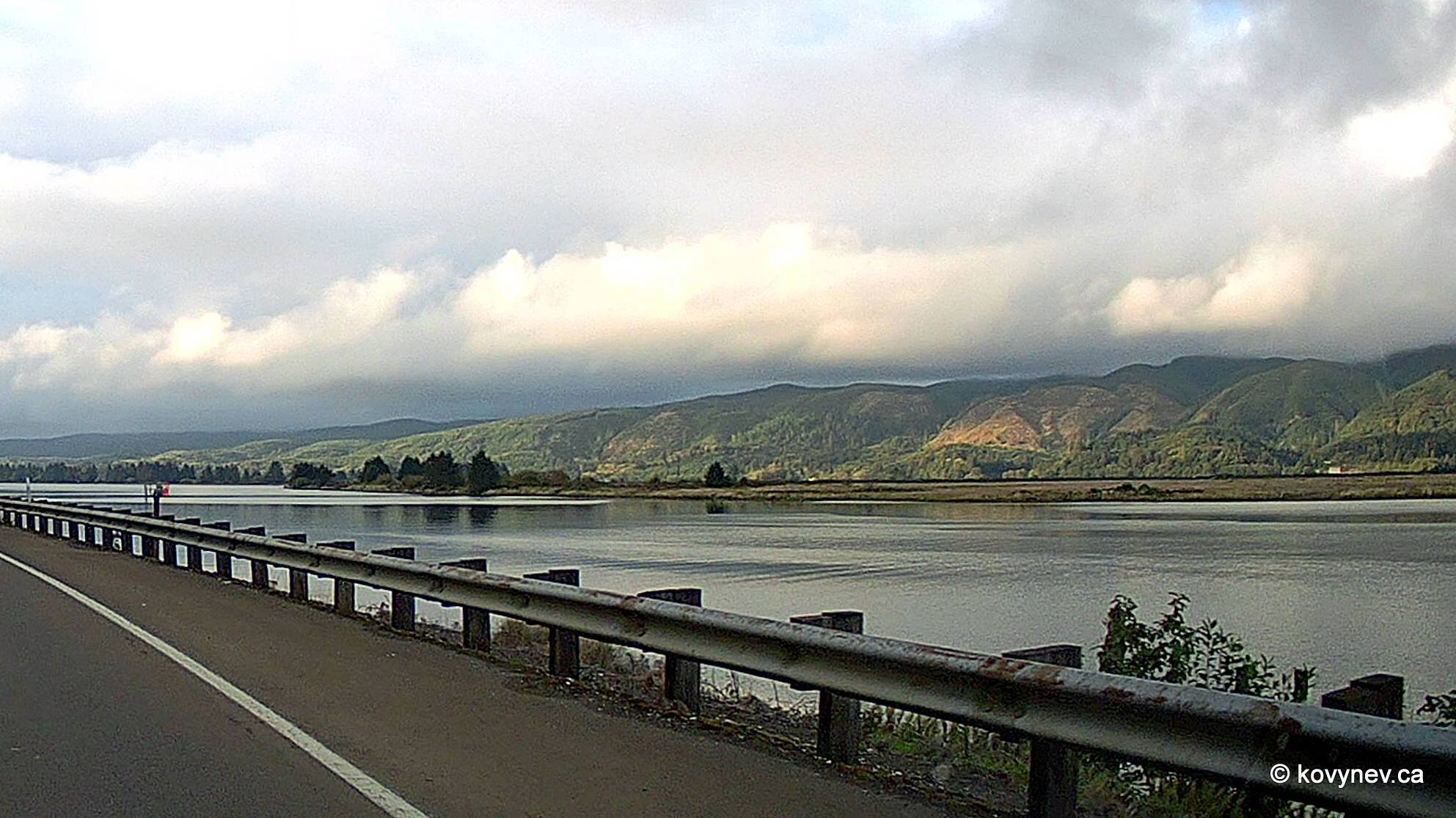
And this would be Willapa River, the next river south from the Chehalis flowing into the Pacific. We are already on Hwy 101 here, which we will continue following to the very end of our journey.
Still Willapa River. Like the Chehalis, it takes its name from a local tribe, which is extinct now.Still Willapa River. Hard to see it in the marshes.
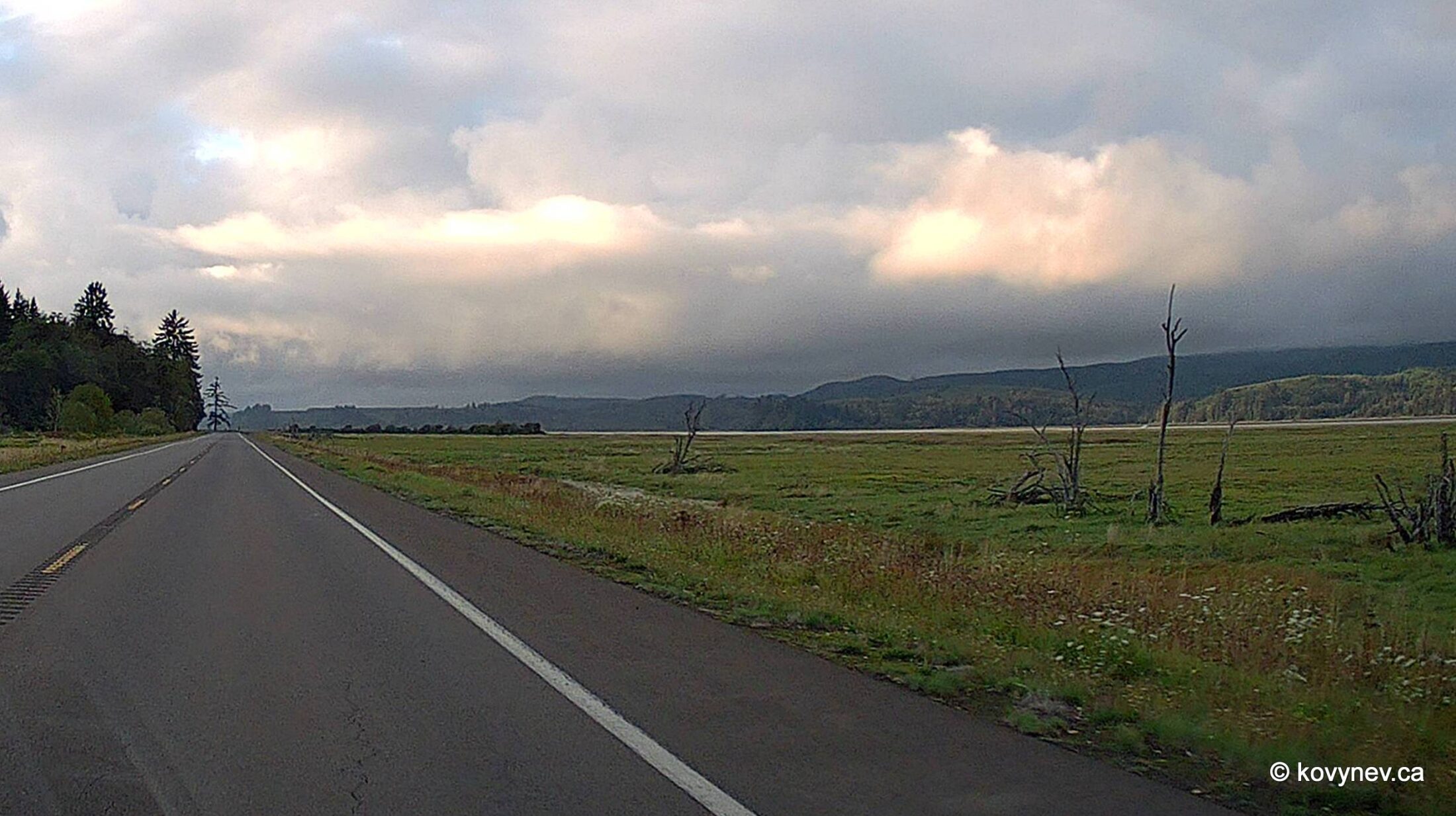
You gonna laugh - still Willapa River. Which is actually quite short (approx. 20 miles). I just liked the scenery and kept making snapshots along the way.
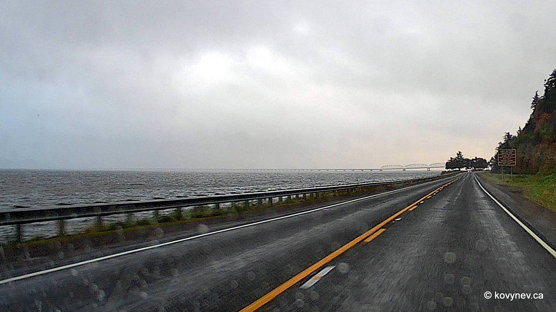
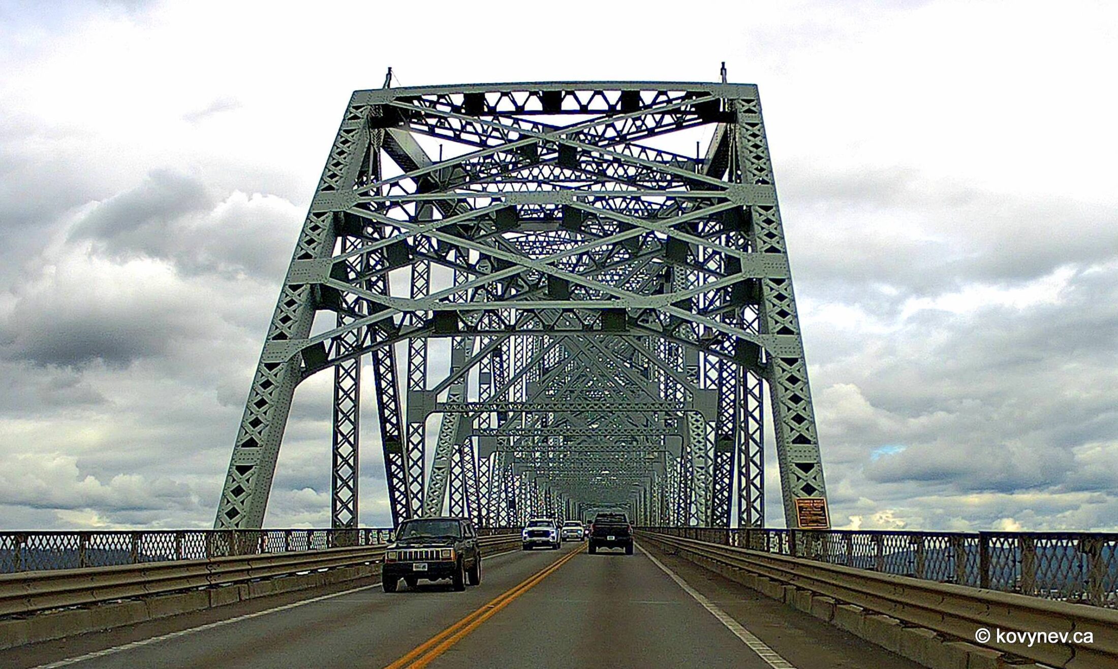
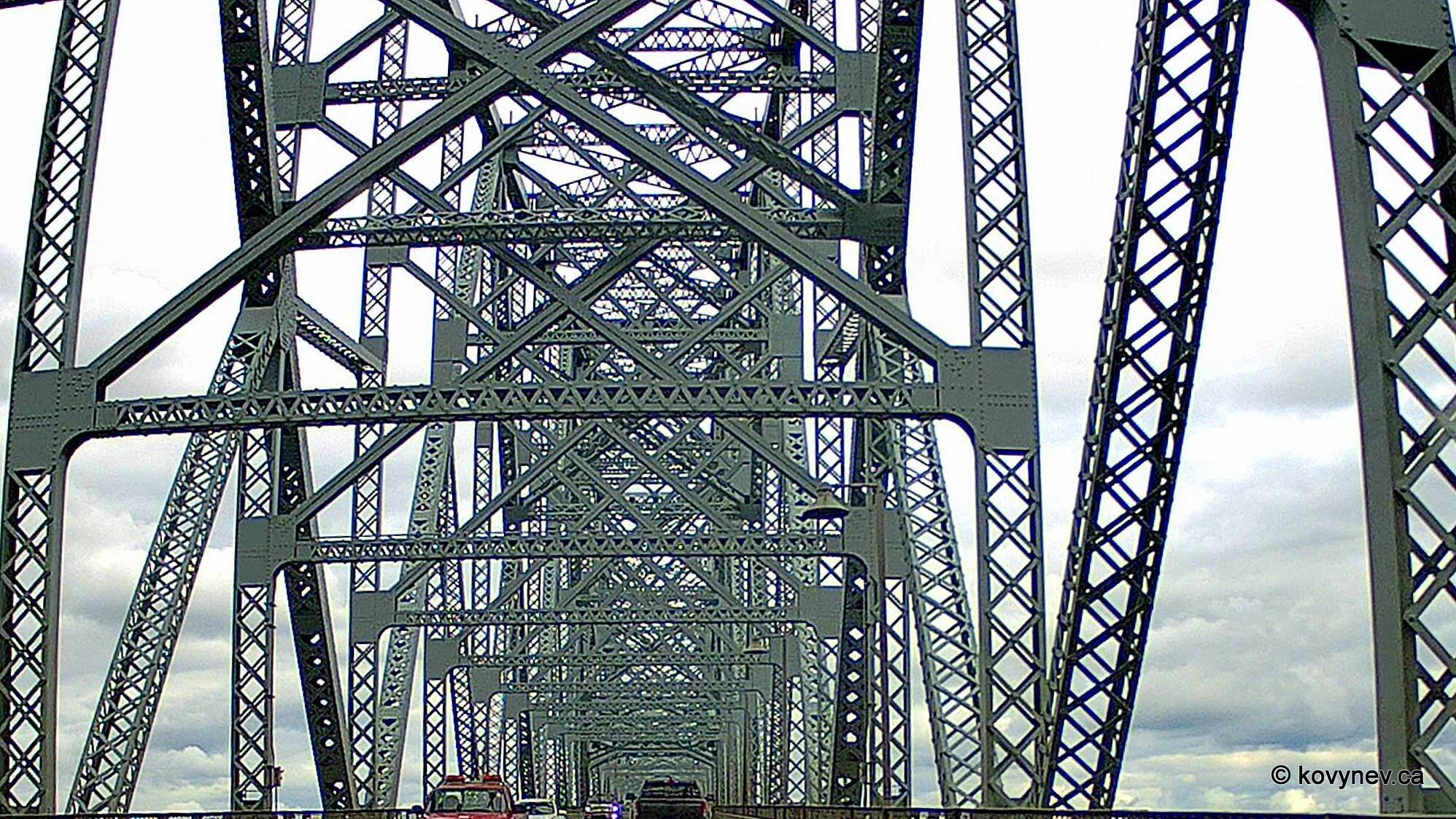
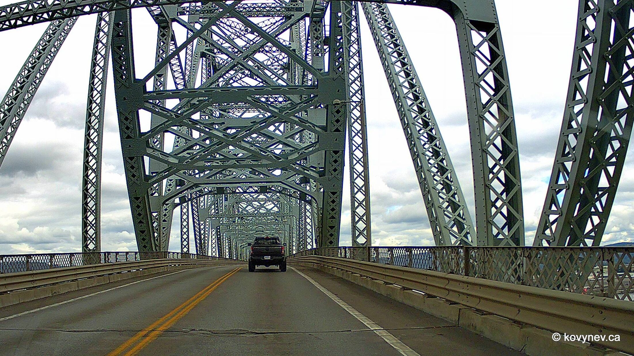
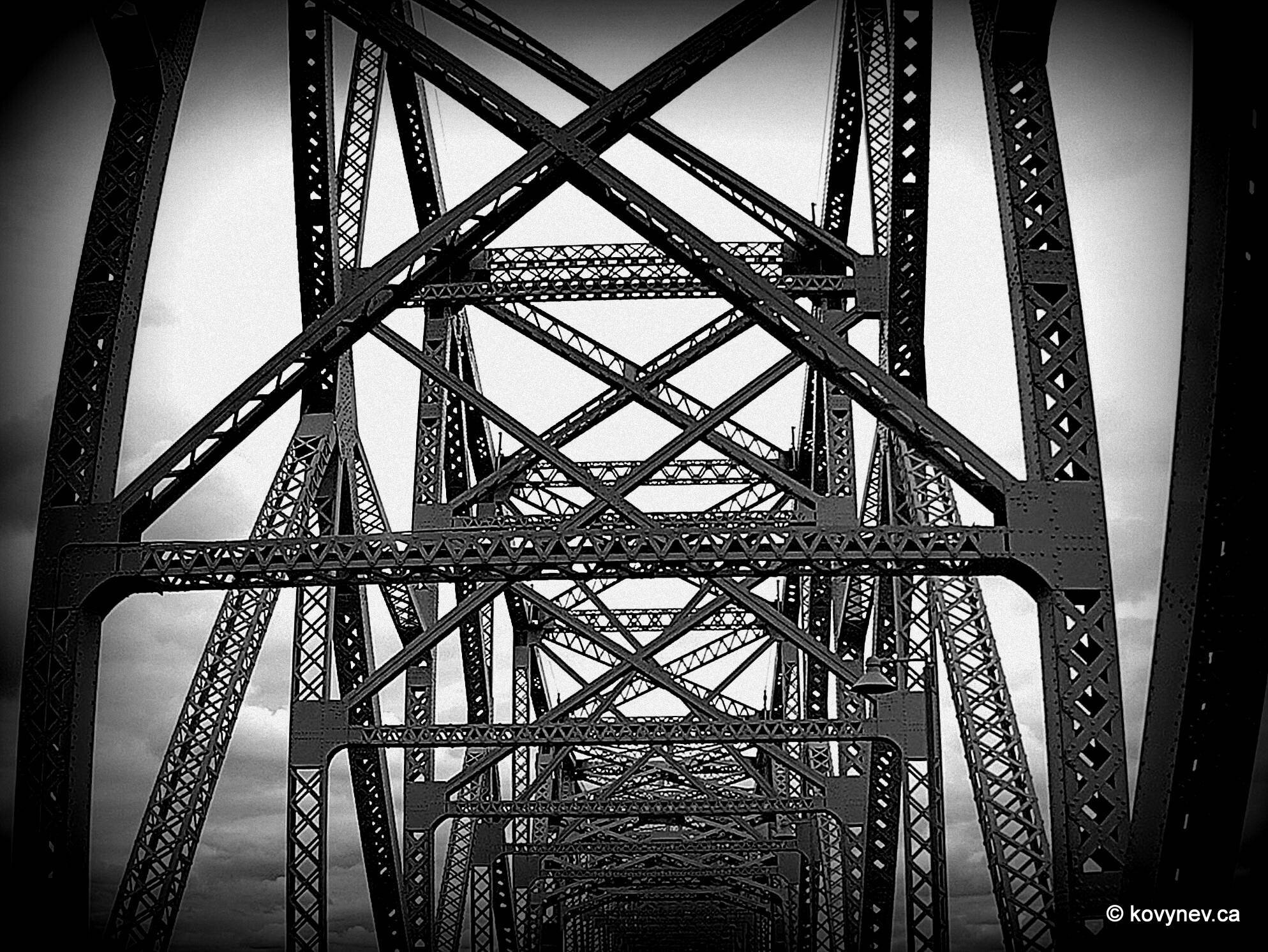
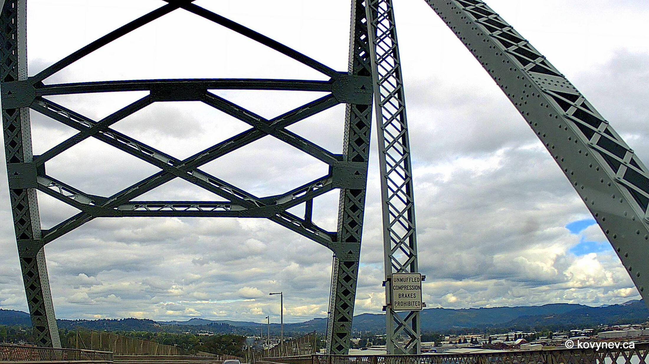
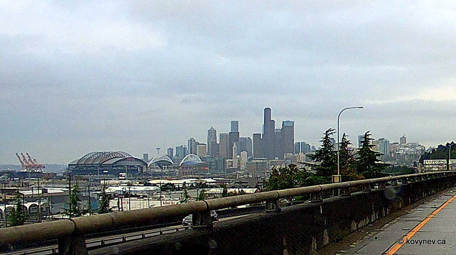
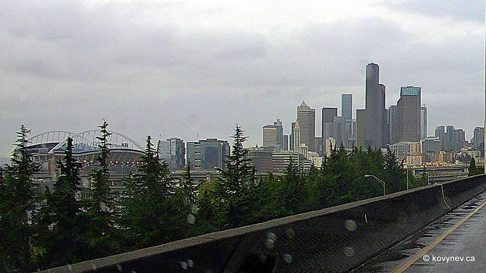
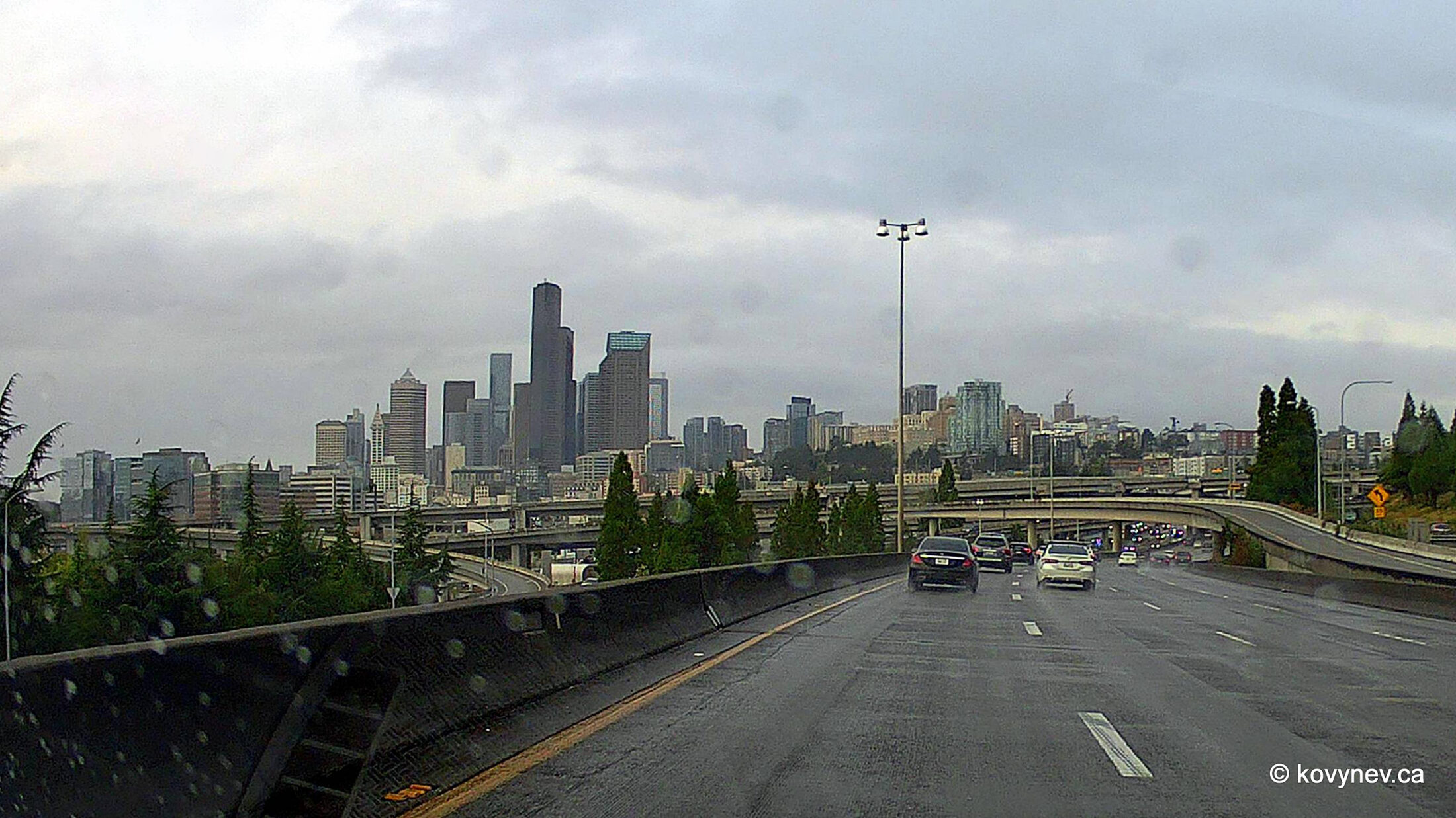
Now, this is a quite different story. The river on the left here is the mighty Columbia, one of the biggest rivers in North America, and THE biggest in the Pacific Northwest. It was named by Captain Robert Gray in 1792, who was the first white American to explore the river’s enormous estuary and to claim it for the United States. Gray named the river after his ship "Columbia Rediviva", which itself was named after Columbus, obviously.The Columbia River starts in the Rocky Mountains in British Columbia, Canada and flows south into the Pacific, forming most of the border between Washington and Oregon. So, its drainage basin covers all three jurisdictions. That′s why the Pacific Northwest, which includes BC, Washington, and Oregon, was once called Columbia. After Canada (essentially, Britain) and the USA set up their border along the 49th parallel in 1818, Columbia ended up cut in two, and the British side of it became known as British Columbia.[The previous image was the last in the "way down" part of the gallery. The next gallery, "Astoria & the Bridges", will pick up from there. The rest of this gallery will be now about “driving up”, as in – back home.]We are going back home the different way than the one we came. On the way there we crossed the Columbia at Astoria, but now we′ve drove along the river further inland, and crossed it at a city called Longview. The bridge here is called Lewis and Clark Bridge.Although, when it was built in 1930 as a private bridge, it was named Longview Bridge, very sensibly. But then the Washington State bought it and renamed it the Lewis and Clark Bridge. Because everything around here must be Lewis and Clark. Why is that, I will explain in the gallery "Seaside".What is much more interesting for me, though, then the name of the bridge, is its type. It′s a so called truss bridge – a bridge constructed with steel beams interconnecting with each other and creating intricate steel tracery. [Remember the word "truss". You will see it a lot on this website.]On the home page, I told you that sometimes you would suffer numerous images of the same object if I happen to be fascinated by it. Well, steel truss bridges fall under that category. This is why you are suffering all these images now. And I am not apologizing.Look at it! Isn′t it a beaut!A little bit farther along the bridge, with the city of Longview peaking in the background.And that is a completely different place. It′s Seattle, as seen from I-5, the interstate freeway going from the Canadian to the Mexican border along the West Coast. Here we are looking at Downtown Seattle with the white bare-skeleton roof of the Lumen Field stadium in front of it and the baseball T-Mobile Park stadium further to the left.The T-Mobile Park is called such, because a cellphone giant T-Mobile bought the naming rights. Before, it was the Safeco Field after a local company Safeco Insurance. The Lumen Field′s name is owned by Lumen Technologies, which was previously known as CenturyLink, therefore the stadium was called the CenturyLink Field. And even before that it was the Qwest Field, until Qwest was bought by CenturyLink. That′s how it works around here. [When I look at this pic, I am surprised to see not so many cars on the road. Seattle is notorious for its terrible traffic on I-5. This image was taken at 7 pm on a Saturday. Maybe that′s why.]And this is almost home. I-5 just past Alger, a 1-horse town 60 km from the Canadian border.Press ESC to exit